Scarlet Spring

Wood, Forest in Middlesex

England

Scarlet Spring

Langley Farm
Langley Farm Credit: N Chadwick

Scarlet Spring is a picturesque woodland located in Middlesex, a county in southeastern England. Situated within the wider Middlesex Forest, this enchanting area is known for its lush greenery, diverse wildlife, and vibrant scarlet-hued blossoms that blanket the forest floor during the spring season.

Covering an expansive area of land, Scarlet Spring is home to a rich and diverse array of flora and fauna. Towering oak and beech trees dominate the landscape, providing a dense canopy that filters sunlight and creates a cool, shaded atmosphere. Bluebells, primroses, and wild garlic carpet the forest floor, adding pops of color and releasing sweet fragrances that fill the air.

The forest is teeming with wildlife, making it a haven for nature enthusiasts and birdwatchers. Visitors can spot an array of bird species, including woodpeckers, nightingales, and various species of warblers. Squirrels scurry among the treetops, while badgers and foxes can be glimpsed during the quieter hours of the day.

Scarlet Spring offers a multitude of activities for outdoor enthusiasts. There are several well-marked hiking trails that wind through the forest, allowing visitors to explore the natural beauty at their own pace. Cyclists can also enjoy the scenic routes that weave through the woodland.

With its serene ambiance, abundant wildlife, and vibrant springtime blooms, Scarlet Spring, Middlesex, truly stands as a natural gem in the heart of England. Whether one seeks tranquility, adventure, or simply a connection to nature, this woodland sanctuary offers an unforgettable experience.

If you have any feedback on the listing, please let us know in the comments section below.

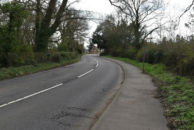
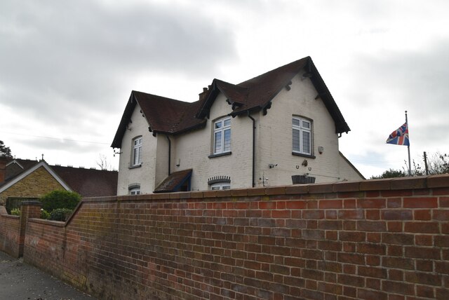
Scarlet Spring Images

Images are sourced within 2km of 51.601948/-0.4581494 or Grid Reference TQ0690. Thanks to Geograph Open Source API. All images are credited.

Langley Farm
Langley Farm
Brakspear Road North
Breakspear Road North
Hammond Lodge
Hammond Lodge
Hammond Lodge
Hammond Lodge
Breakspear Stable Cottage
Breakspear Road North
Field edge footpath
Field edge footpath
Joining The Hillingdon Trail This 20 mile long route spans the London Borough of Hillingdon from Cranford Park in the south to Springwell Lock on the Grand Union Canal in the north. The Celandine Route (12 miles) along the River Pinn from Pinner provides another link to the Grand Union Canal Walk at the junction of the Slough Arm.
Joining The Hillingdon Trail
This 20 mile long route spans the London Borough of Hillingdon from Cranford Park in the south to Springwell Lock on the Grand Union Canal in the north. The Celandine Route (12 miles) along the River Pinn from Pinner provides another link to the Grand Union Canal Walk at the junction of the Slough Arm.
Single tree
Single tree
Hillingdon Trail This 20 mile long route spans the London Borough of Hillingdon from Cranford Park in the south to Springwell Lock on the Grand Union Canal in the north. The Celandine Route (12 miles) along the River Pinn from Pinner provides another link to the Grand Union Canal Walk at the junction of the Slough Arm.
Hillingdon Trail
This 20 mile long route spans the London Borough of Hillingdon from Cranford Park in the south to Springwell Lock on the Grand Union Canal in the north. The Celandine Route (12 miles) along the River Pinn from Pinner provides another link to the Grand Union Canal Walk at the junction of the Slough Arm.
Woodland
Woodland
A eutrophic pond Eutrophication is an enrichment of a water body by minerals and nutrients that lead to a reduction in water quality, especially a reduction in oxygen content. Although it can be a natural process most modern eutrophication is caused by human activity, especially the use of nitrates and phosphates. A eutrophic water body is characterised by a surface green algal bloom.
Wikipedia: <span class="nowrap"><a title="https://en.wikipedia.org/wiki/Eutrophication" rel="nofollow ugc noopener" href="https://en.wikipedia.org/wiki/Eutrophication">Link</a><img style="margin-left:2px;" alt="External link" title="External link - shift click to open in new window" src="https://s1.geograph.org.uk/img/external.png" width="10" height="10"/></span>
A eutrophic pond
Eutrophication is an enrichment of a water body by minerals and nutrients that lead to a reduction in water quality, especially a reduction in oxygen content. Although it can be a natural process most modern eutrophication is caused by human activity, especially the use of nitrates and phosphates. A eutrophic water body is characterised by a surface green algal bloom. Wikipedia: LinkExternal link
Hillingdon Trail
Hillingdon Trail
Graveyard, St Mary's Church A Grade I listed church dating back to the 12th century. The graveyard contains many ANZAC graves.
A full history can be read at <span class="nowrap"><a title="https://www.british-history.ac.uk/vch/middx/vol3/pp252-256" rel="nofollow ugc noopener" href="https://www.british-history.ac.uk/vch/middx/vol3/pp252-256">Link</a><img style="margin-left:2px;" alt="External link" title="External link - shift click to open in new window" src="https://s1.geograph.org.uk/img/external.png" width="10" height="10"/></span>
Graveyard, St Mary's Church
A Grade I listed church dating back to the 12th century. The graveyard contains many ANZAC graves. A full history can be read at LinkExternal link
Church of St Mary A Grade I listed church dating back to the 12th century. The graveyard contains many ANZAC graves.
A full history can be read at <span class="nowrap"><a title="https://www.british-history.ac.uk/vch/middx/vol3/pp252-256" rel="nofollow ugc noopener" href="https://www.british-history.ac.uk/vch/middx/vol3/pp252-256">Link</a><img style="margin-left:2px;" alt="External link" title="External link - shift click to open in new window" src="https://s1.geograph.org.uk/img/external.png" width="10" height="10"/></span>
Church of St Mary
A Grade I listed church dating back to the 12th century. The graveyard contains many ANZAC graves. A full history can be read at LinkExternal link
Show me another place!

Scarlet Spring is located at Grid Ref: TQ0690 (Lat: 51.601948, Lng: -0.4581494)

Unitary Authority: Hillingdon

Police Authority: Metropolitan

What 3 Words

///farmer.waters.matter. Near Harefield, London

Related Wikis

1948 Northwood mid-air collision

The 1948 Northwood mid-air collision took place on 4 July at 15:03 when a Douglas DC-6 of Scandinavian Airlines System (SAS) and an Avro York C.1 of the...

Ruislip, Northwood and Pinner (UK Parliament constituency)

Ruislip, Northwood and Pinner is a constituency in Greater London represented in the House of Commons of the UK Parliament since 2019 by David Simmonds...

Harefield Academy

Harefield School is a secondary school in Uxbridge, London. Located on the site of the former community school, John Penrose School, which closed on 31...

Harefield United F.C.

Harefield United Football Club are an English football club based in Harefield in the London Borough of Hillingdon. The club is the oldest in Middlesex...

Nearby Amenities

Located within 500m of 51.601948,-0.4581494
Power: tower
Lat/Long: 51.5994802/-0.4586392
Power: tower
Lat/Long: 51.6028332/-0.4556477
Power: tower
Lat/Long: 51.6053024/-0.4533375
The data included in this document is from www.openstreetmap.org. The data is made available under ODbL.

Have you been to Scarlet Spring?

Leave your review of Scarlet Spring below (or comments, questions and feedback).