Shere Heath

Wood, Forest in Surrey Guildford

England

Shere Heath

No. 35028 'Clan Line' with the Belmond British Pullman No. 35028 'Clan Line' approaches the Sandy Lane bridge near Shere with the Belmond British Pullman circular dining tour from Victoria via Guildford.
No. 35028 'Clan Line' with the Belmond British Pullman Credit: Bob Walters

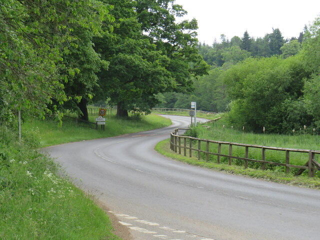
Shere Heath is a picturesque woodland area located in the county of Surrey, England. It is nestled within the larger Shere village, known for its idyllic countryside and charming old-world charm. The heath is a popular destination for nature lovers and outdoor enthusiasts, offering a serene and tranquil environment.

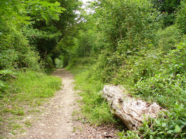
Covering an area of approximately 100 acres, Shere Heath boasts a diverse range of flora and fauna. The woodland is primarily composed of oak and beech trees, creating a dense canopy that provides shade and shelter for various wildlife species. Visitors can expect to encounter a variety of bird species, including woodpeckers, owls, and songbirds, as well as small mammals like squirrels and rabbits.

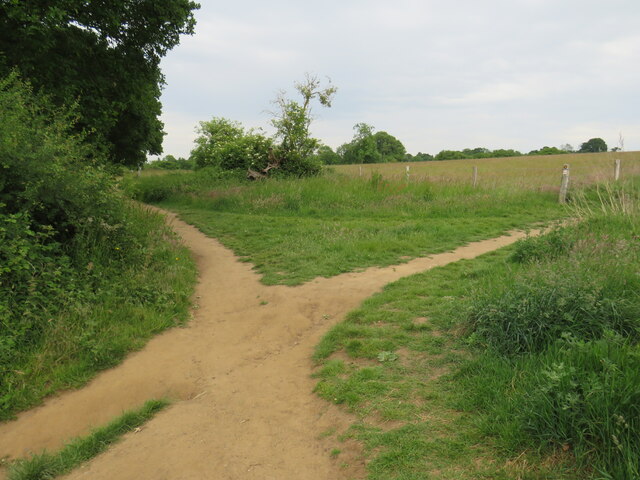
The heath offers numerous walking trails, allowing visitors to explore the natural beauty of the area at their own pace. These well-maintained paths meander through the woodland, offering glimpses of scenic vistas and opportunities for birdwatching. The peaceful ambiance of Shere Heath makes it an ideal location for picnics, family outings, and nature photography.

In addition to its natural beauty, Shere Heath holds historical significance. The area was once part of the ancient forest of Surrey and has retained its wild and untouched character throughout the centuries. Today, it serves as a valuable conservation site, preserving the unique ecosystem and contributing to the biodiversity of the region.

Overall, Shere Heath in Surrey is a haven for nature enthusiasts seeking solace in the beauty of woodlands. Its serene atmosphere, diverse wildlife, and rich history make it a must-visit destination for those looking to connect with nature and explore the enchanting countryside of Surrey.

If you have any feedback on the listing, please let us know in the comments section below.
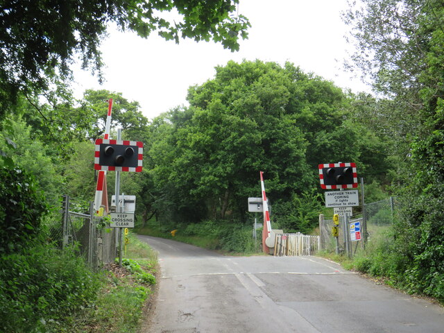
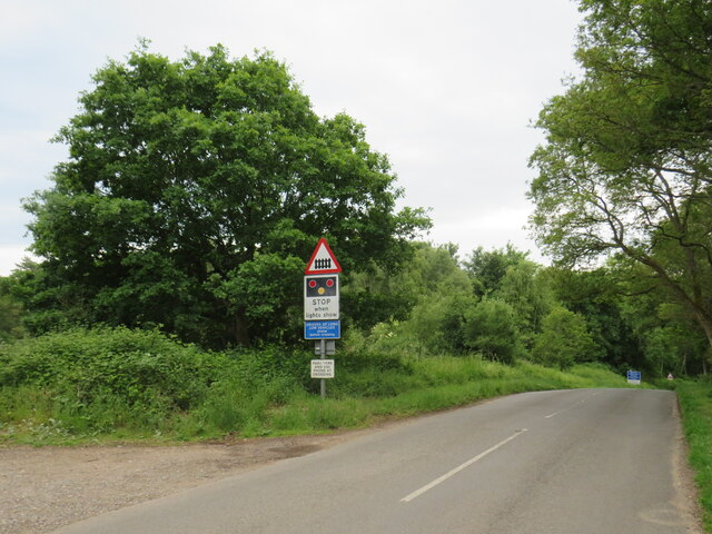
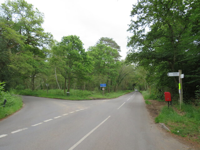
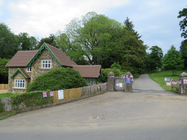
Shere Heath Images

Images are sourced within 2km of 51.212104/-0.47114805 or Grid Reference TQ0646. Thanks to Geograph Open Source API. All images are credited.

No. 35028 'Clan Line' with the Belmond British Pullman No. 35028 'Clan Line' approaches the Sandy Lane bridge near Shere with the Belmond British Pullman circular dining tour from Victoria via Guildford.
No. 35028 'Clan Line' with the Belmond British Pullman
No. 35028 'Clan Line' approaches the Sandy Lane bridge near Shere with the Belmond British Pullman circular dining tour from Victoria via Guildford.
August Lane, Farley Green August Lane entering the small hamlet of Farley Green in Surrey.  This road is on route 22 of the National Cycle Network.
August Lane, Farley Green
August Lane entering the small hamlet of Farley Green in Surrey. This road is on route 22 of the National Cycle Network.
Road junction at Farley Green A road junction in the Surrey hamlet of Farley Green.  The road to the right is on route 22 of the National Cycle Network.
Road junction at Farley Green
A road junction in the Surrey hamlet of Farley Green. The road to the right is on route 22 of the National Cycle Network.
Caravan park entrance, Farley Green, near Guildford The entrance to Edgeley caravan park in the Surrey countryside.
Caravan park entrance, Farley Green, near Guildford
The entrance to Edgeley caravan park in the Surrey countryside.
New Road, Brook, near Guildford New Road passing through the hamlet of Brook, near Guildford.
New Road, Brook, near Guildford
New Road passing through the hamlet of Brook, near Guildford.
Level crossing at Brook, near Guildford A level crossing on the North Downs Line at Brook, near Guildford.  Train services on this railway line connect Reading and Guildford with Dorking, Redhill and Gatwick Airport
Level crossing at Brook, near Guildford
A level crossing on the North Downs Line at Brook, near Guildford. Train services on this railway line connect Reading and Guildford with Dorking, Redhill and Gatwick Airport
New Road, near Albury New Road in Surrey countryside, close to the village of Albury.  The road sign warns of a railway level crossing ahead.
New Road, near Albury
New Road in Surrey countryside, close to the village of Albury. The road sign warns of a railway level crossing ahead.
Road junction near Albury A junction of minor roads in the Surrey Hills, near the village of Albury.
Road junction near Albury
A junction of minor roads in the Surrey Hills, near the village of Albury.
Albury Park entrance and lodge An entrance to Albury Park, in Surrey.  The building to the left of the entrance is a lodge.
Albury Park entrance and lodge
An entrance to Albury Park, in Surrey. The building to the left of the entrance is a lodge.
A248 road at Albury A double bend on the A248 road as it enters the village of Albury.
A248 road at Albury
A double bend on the A248 road as it enters the village of Albury.
A25 road near Albury A view eastwards along the A25 road between Albury and Shere in Surrey.  The building on the opposite side of the road is Home Farm.
A25 road near Albury
A view eastwards along the A25 road between Albury and Shere in Surrey. The building on the opposite side of the road is Home Farm.
Upper Street, Shere Upper Street entering the village of Shere in Surrey.  The speed limit drops to 20 miles per hour through the village.
Upper Street, Shere
Upper Street entering the village of Shere in Surrey. The speed limit drops to 20 miles per hour through the village.
Upper Street, Shere Upper Street in the Surrey village of Shere.
Upper Street, Shere
Upper Street in the Surrey village of Shere.
Upper Street, Shere Upper Street in the Surrey village of Shere.
Upper Street, Shere
Upper Street in the Surrey village of Shere.
Shere village centre A road junction in the centre of the village of Shere in Surrey.
Shere village centre
A road junction in the centre of the village of Shere in Surrey.
Middle Street, Shere Middle Street in the village of Shere in Surrey.  To the right of the image is a pub called The White Horse.
Middle Street, Shere
Middle Street in the village of Shere in Surrey. To the right of the image is a pub called The White Horse.
The Spinning Walk, Shere The Spinning Walk, in the village of Shere, is on route 22 of the National Cycle Network.
The Spinning Walk, Shere
The Spinning Walk, in the village of Shere, is on route 22 of the National Cycle Network.
Paths cross near Shere Two paths cross on a hillside near Shere, in Surrey.  The path which bears left forms part of route 22 of the National Cycle Network.
Paths cross near Shere
Two paths cross on a hillside near Shere, in Surrey. The path which bears left forms part of route 22 of the National Cycle Network.
Show me another place!

Shere Heath is located at Grid Ref: TQ0646 (Lat: 51.212104, Lng: -0.47114805)

Administrative County: Surrey

District: Guildford

Police Authority: Surrey

What 3 Words

///vase.simply.danger. Near Peaslake, Surrey

Related Wikis

Albury Park

Albury Park is a country park and Grade II* listed historic country house (Albury Park Mansion) in Surrey, England. It covers over 150 acres (0.61 km2...
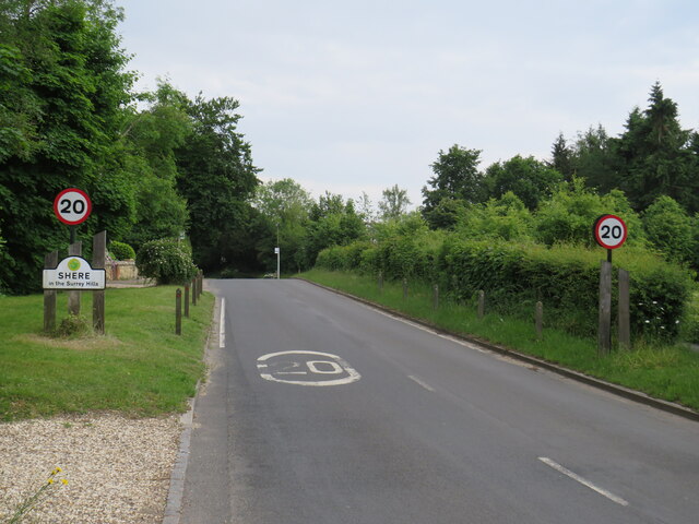
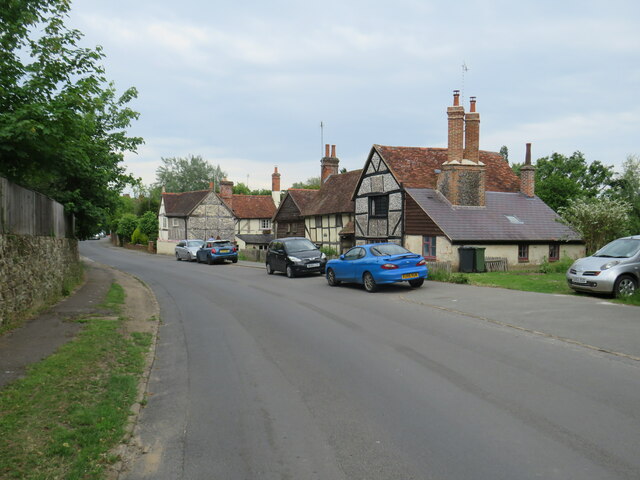
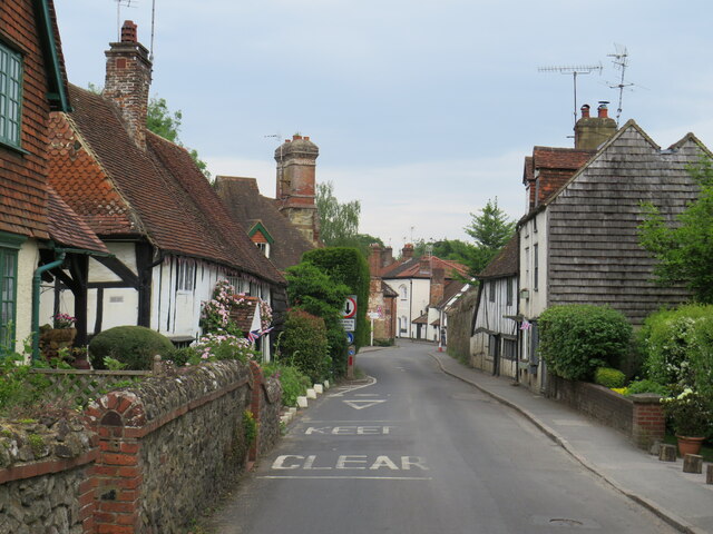
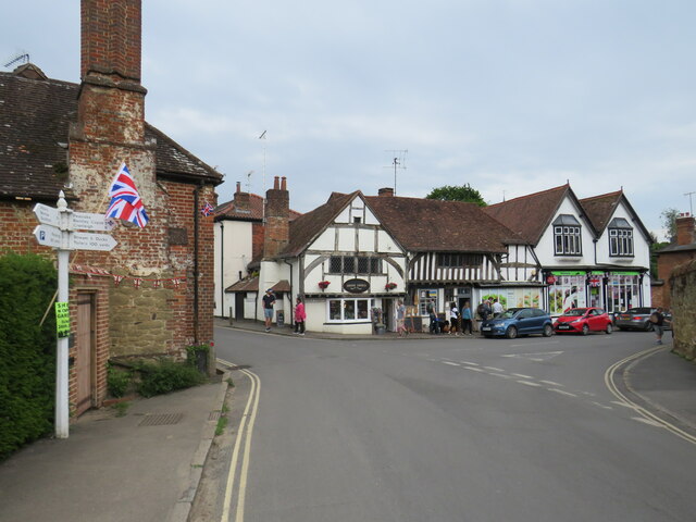
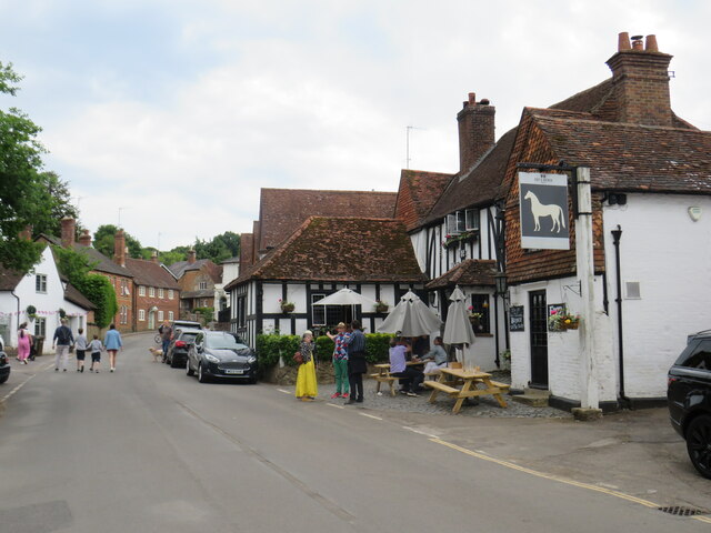
Shere

Shere is a village in the Guildford district of Surrey, England 4.8 miles (7.7 km) east south-east of Guildford and 5.4 miles (8.7 km) west of Dorking...

Old St Peter and St Paul's Church, Albury

Old St Peter and St Paul's Church is a former Anglican church near the village of Albury, Surrey, England in the care of The Churches Conservation Trust...

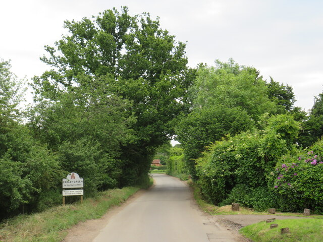
Farley Green, Surrey

Farley Green is a small hamlet of Albury in the Greensand Ridge where it forms the south of the Surrey Hills AONB, to the south east of Guildford. �...
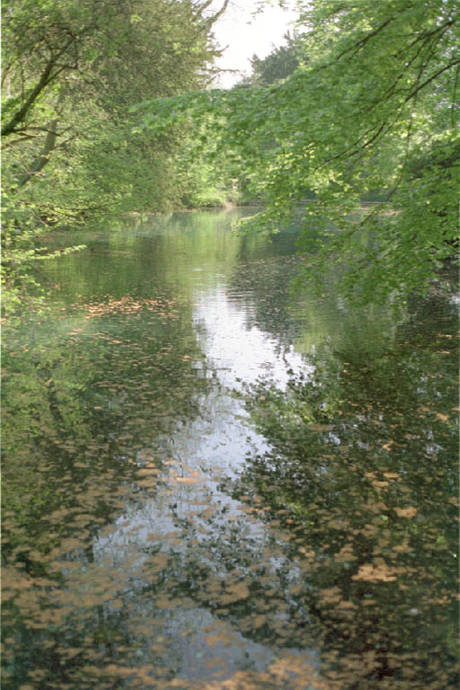
Silent Pool

Silent Pool is a spring-fed lake at the foot of the North Downs, about 4 miles (6 km) east of Guildford in Surrey. The outflow from Silent Pool runs into...

Combe Bottom

Combe Bottom is a 42.1-hectare (104-acre) biological Site of Special Scientific Interest north of Shere in Surrey. It is designated a Local Nature Reserve...

Gomshall

Gomshall is a village in the borough of Guildford in Surrey, England.It is on the A25, roughly halfway between Guildford and Dorking, and in Shere civil...

Gomshall railway station

Gomshall railway station serves the village of Gomshall in Surrey, England. The station, and all trains serving it, are operated by Great Western Railway...

Nearby Amenities

Located within 500m of 51.212104,-0.47114805
Barrier: kissing_gate
Lat/Long: 51.212313/-0.4756905
Note: The crossing here is now closed. Replaced by a bridge to the NE.
Lat/Long: 51.2101751/-0.4701197
Little London
Place: hamlet
Lat/Long: 51.2103405/-0.477215
Bench
Lat/Long: 51.214182/-0.4729267
Barrier: stile
Lat/Long: 51.2107693/-0.4772877
Post Box
Post Box Type: lamp
Ref: GU5 177
Royal Cypher: EIIR
Royal Cypher Wikidata: Q33102113
Lat/Long: 51.2115619/-0.4647605
Advertising: board
Support: pole
Lat/Long: 51.209105/-0.4764161
Barrier: bollard
Lat/Long: 51.210113/-0.4698184
Bench
Backrest: no
Seats: 2
Lat/Long: 51.2121563/-0.4739115
Power: substation
Lat/Long: 51.2107743/-0.4771334
Man Made: street_cabinet
Operator: BT
Street Cabinet: vdslam
Lat/Long: 51.2100007/-0.4755305
Man Made: street_cabinet
Operator: BT
Street Cabinet: pcp
Lat/Long: 51.2099949/-0.4752395
The data included in this document is from www.openstreetmap.org. The data is made available under ODbL.

Have you been to Shere Heath?

Leave your review of Shere Heath below (or comments, questions and feedback).