Brook

Settlement in Surrey Guildford

England

Brook

Direction Sign – Signpost on Upper Street, Shere Located on the north side of the junction of Upper Street and Middle Street in Shere parish. 3 arms and cone finial.

Milestone Society National ID: SY_TQ0747
Direction Sign – Signpost on Upper Street, Shere Credit: John V Nicholls

Brook is a charming village located in the county of Surrey, England. Situated just a few miles south-east of the town of Woking, Brook is a small and close-knit community with a population of around 800 residents.

The village is known for its picturesque rural setting, nestled amidst the rolling hills and lush green countryside that Surrey is famous for. The area is characterized by its tranquil and peaceful atmosphere, offering residents and visitors a serene escape from the bustling city life.

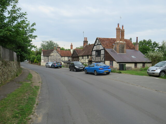
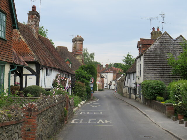
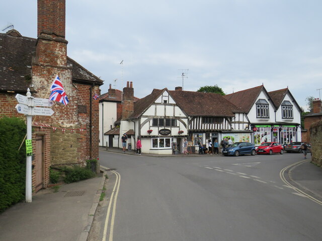
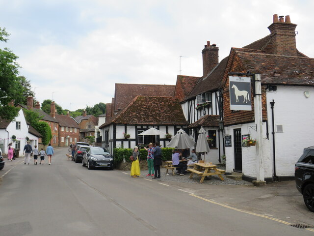
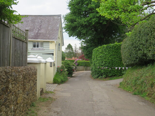
Brook is home to a number of traditional cottages and historic buildings, giving the village a timeless and idyllic feel. The village center features a quaint church, a primary school, and a local pub, providing essential amenities to the community.

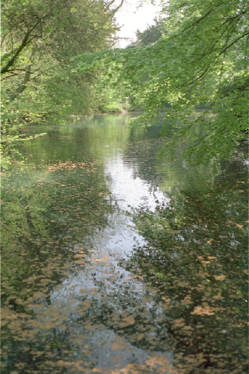
Nature enthusiasts will find plenty to explore in and around Brook. The village is surrounded by beautiful woodlands and scenic walking trails, offering opportunities for leisurely strolls and outdoor activities. The nearby Brookwood Country Park is a popular destination for nature lovers, boasting an abundance of wildlife and a peaceful lake.

Despite its rural setting, Brook is conveniently located within close proximity to larger towns and cities. The nearby town of Woking offers a range of amenities, including shopping centers, restaurants, and entertainment venues. The village also enjoys excellent transport links, with easy access to major road networks and a train station that connects to London and other surrounding areas.

Overall, Brook is a charming and peaceful village, providing a serene and picturesque place to live or visit for those seeking a slower pace of life in the heart of Surrey's countryside.

If you have any feedback on the listing, please let us know in the comments section below.
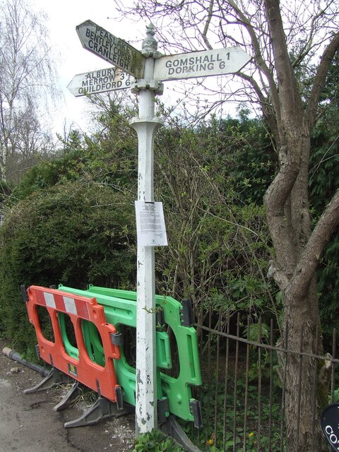
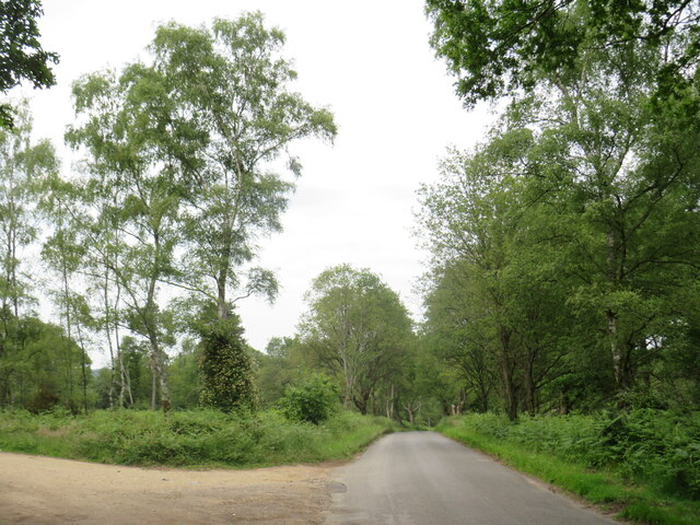
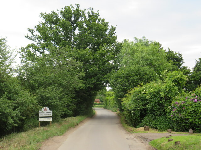
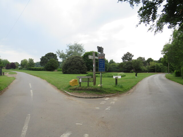
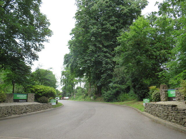
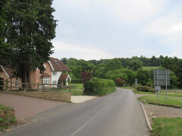
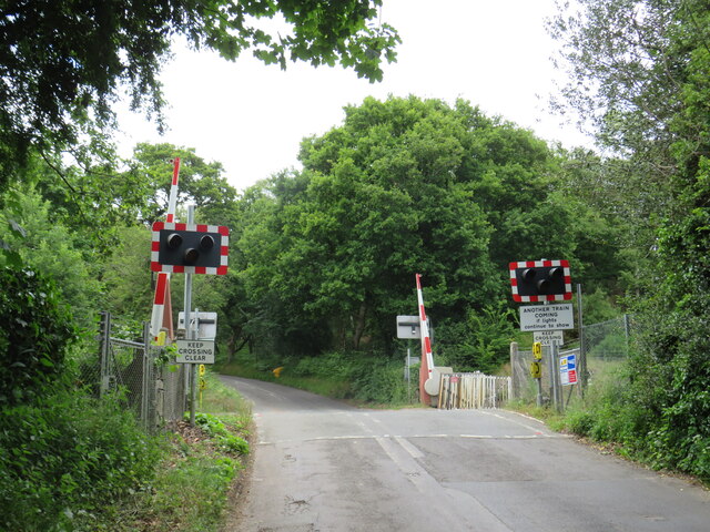
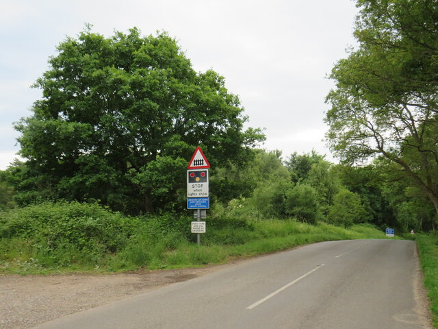
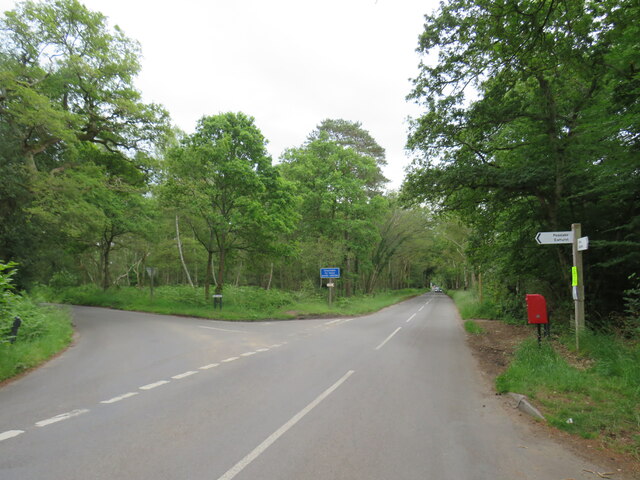
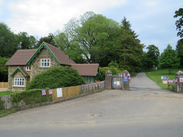
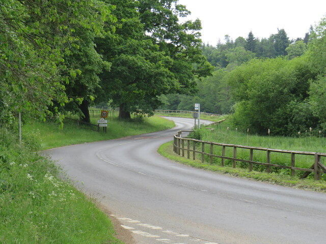
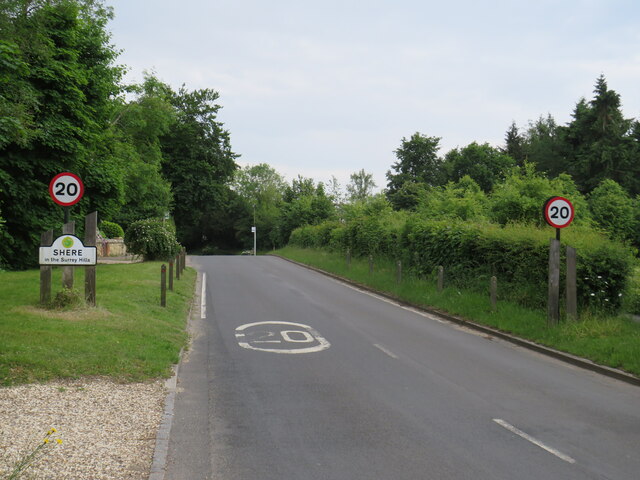
Brook Images

Images are sourced within 2km of 51.206816/-0.482562 or Grid Reference TQ0646. Thanks to Geograph Open Source API. All images are credited.

Direction Sign – Signpost on Upper Street, Shere Located on the north side of the junction of Upper Street and Middle Street in Shere parish. 3 arms and cone finial.

Milestone Society National ID: SY_TQ0747
Direction Sign – Signpost on Upper Street, Shere
Located on the north side of the junction of Upper Street and Middle Street in Shere parish. 3 arms and cone finial. Milestone Society National ID: SY_TQ0747
No. 35028 'Clan Line' with the Belmond British Pullman No. 35028 'Clan Line' approaches the Sandy Lane bridge near Shere with the Belmond British Pullman circular dining tour from Victoria via Guildford.
No. 35028 'Clan Line' with the Belmond British Pullman
No. 35028 'Clan Line' approaches the Sandy Lane bridge near Shere with the Belmond British Pullman circular dining tour from Victoria via Guildford.
Farley Heath Road, near Farley Green Farley Heath Road is a minor road passing through Surrey countryside.  It is on route 22 of the National Cycle Network
Farley Heath Road, near Farley Green
Farley Heath Road is a minor road passing through Surrey countryside. It is on route 22 of the National Cycle Network
August Lane, Farley Green August Lane entering the small hamlet of Farley Green in Surrey.  This road is on route 22 of the National Cycle Network.
August Lane, Farley Green
August Lane entering the small hamlet of Farley Green in Surrey. This road is on route 22 of the National Cycle Network.
Road junction at Farley Green A road junction in the Surrey hamlet of Farley Green.  The road to the right is on route 22 of the National Cycle Network.
Road junction at Farley Green
A road junction in the Surrey hamlet of Farley Green. The road to the right is on route 22 of the National Cycle Network.
Caravan park entrance, Farley Green, near Guildford The entrance to Edgeley caravan park in the Surrey countryside.
Caravan park entrance, Farley Green, near Guildford
The entrance to Edgeley caravan park in the Surrey countryside.
New Road, Brook, near Guildford New Road passing through the hamlet of Brook, near Guildford.
New Road, Brook, near Guildford
New Road passing through the hamlet of Brook, near Guildford.
Level crossing at Brook, near Guildford A level crossing on the North Downs Line at Brook, near Guildford.  Train services on this railway line connect Reading and Guildford with Dorking, Redhill and Gatwick Airport
Level crossing at Brook, near Guildford
A level crossing on the North Downs Line at Brook, near Guildford. Train services on this railway line connect Reading and Guildford with Dorking, Redhill and Gatwick Airport
New Road, near Albury New Road in Surrey countryside, close to the village of Albury.  The road sign warns of a railway level crossing ahead.
New Road, near Albury
New Road in Surrey countryside, close to the village of Albury. The road sign warns of a railway level crossing ahead.
Road junction near Albury A junction of minor roads in the Surrey Hills, near the village of Albury.
Road junction near Albury
A junction of minor roads in the Surrey Hills, near the village of Albury.
Albury Park entrance and lodge An entrance to Albury Park, in Surrey.  The building to the left of the entrance is a lodge.
Albury Park entrance and lodge
An entrance to Albury Park, in Surrey. The building to the left of the entrance is a lodge.
A248 road at Albury A double bend on the A248 road as it enters the village of Albury.
A248 road at Albury
A double bend on the A248 road as it enters the village of Albury.
Upper Street, Shere Upper Street entering the village of Shere in Surrey.  The speed limit drops to 20 miles per hour through the village.
Upper Street, Shere
Upper Street entering the village of Shere in Surrey. The speed limit drops to 20 miles per hour through the village.
Upper Street, Shere Upper Street in the Surrey village of Shere.
Upper Street, Shere
Upper Street in the Surrey village of Shere.
Upper Street, Shere Upper Street in the Surrey village of Shere.
Upper Street, Shere
Upper Street in the Surrey village of Shere.
Shere village centre A road junction in the centre of the village of Shere in Surrey.
Shere village centre
A road junction in the centre of the village of Shere in Surrey.
Middle Street, Shere Middle Street in the village of Shere in Surrey.  To the right of the image is a pub called The White Horse.
Middle Street, Shere
Middle Street in the village of Shere in Surrey. To the right of the image is a pub called The White Horse.
The Spinning Walk, Shere The Spinning Walk, in the village of Shere, is on route 22 of the National Cycle Network.
The Spinning Walk, Shere
The Spinning Walk, in the village of Shere, is on route 22 of the National Cycle Network.
Show me another place!

Brook is located at Grid Ref: TQ0646 (Lat: 51.206816, Lng: -0.482562)

Administrative County: Surrey

District: Guildford

Police Authority: Surrey

What 3 Words

///intensely.dabbing.headlight. Near Peaslake, Surrey

Related Wikis

Farley Green, Surrey

Farley Green is a small hamlet of Albury in the Greensand Ridge where it forms the south of the Surrey Hills AONB, to the south east of Guildford. �...

Albury Park

Albury Park is a country park and Grade II* listed historic country house (Albury Park Mansion) in Surrey, England. It covers over 150 acres (0.61 km2...

Surrey Hills AONB

The Surrey Hills is a 422 km2 (163 sq mi) Area of Outstanding Natural Beauty (AONB) in Surrey, England, which principally covers parts of the North Downs...

Old St Peter and St Paul's Church, Albury

Old St Peter and St Paul's Church is a former Anglican church near the village of Albury, Surrey, England in the care of The Churches Conservation Trust...

Shere

Shere is a village in the Guildford district of Surrey, England 4.8 miles (7.7 km) east south-east of Guildford and 5.4 miles (8.7 km) west of Dorking...

Albury, Surrey

Albury is a village and civil parish in central Surrey, England, around 3.5 miles (5.6 km) east of Guildford. It is in the Surrey Hills Area of Outstanding...

Silent Pool

Silent Pool is a spring-fed lake at the foot of the North Downs, about 4 miles (6 km) east of Guildford in Surrey. The outflow from Silent Pool runs into...

Blackheath Common

Blackheath Common is an area of 250 acres (100 ha) of heathland in Surrey, England, near the village of Albury in the borough of Waverley. It is part of...

Nearby Amenities

Located within 500m of 51.206816,-0.482562
Post Box
Postal Code: GU5
Ref: GU5 146
Source: photo
Lat/Long: 51.209035/-0.4764694
Brook
Place: hamlet
Source: npe
Lat/Long: 51.2069662/-0.4809063
Albury Heath
Natural: heath
Source: npe
Lat/Long: 51.2093441/-0.486587
Telephone
Booth: K6
Covered: booth
Man Made: telephone_box
Note: Due for removal? Jan 2009
Old Phone: +44 1483 202097
Lat/Long: 51.2046706/-0.4835021
Post Box
Post Box Type: wall
Postal Code: GU5
Ref: GU5 54
Royal Cypher: GR
Royal Cypher Wikidata: Q33102273
Lat/Long: 51.2047971/-0.483577
Tourism: artwork
Lat/Long: 51.2106576/-0.4848954
Bench
Lat/Long: 51.2111636/-0.4817682
Barrier: stile
Lat/Long: 51.2035212/-0.4834634
Advertising: board
Support: pole
Lat/Long: 51.209105/-0.4764161
Crossing Barrier: half
Railway: level_crossing
Lat/Long: 51.2075034/-0.4827471
Railway: level_crossing
Lat/Long: 51.2074701/-0.4827646
Barrier: stile
Source: gps
Lat/Long: 51.2028013/-0.4817992
The data included in this document is from www.openstreetmap.org. The data is made available under ODbL.

Have you been to Brook?

Leave your review of Brook below (or comments, questions and feedback).