Brook
Settlement in Kent Ashford
England
Brook

Brook is a charming village located in the county of Kent, England. Situated in the southeastern part of the country, it falls within the borough of Ashford. The village is nestled among the picturesque countryside and is known for its idyllic rural setting.
With a population of just over 500 residents, Brook exudes a tranquil and close-knit community atmosphere. The village is primarily residential, consisting of a mix of traditional thatched cottages, modern houses, and a few historic buildings. The stunning landscape surrounding Brook includes rolling green hills, meandering streams, and beautiful woodland areas, making it a haven for nature lovers and outdoor enthusiasts.
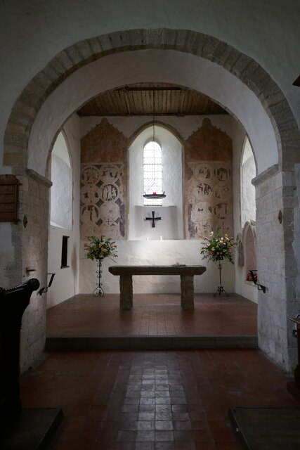
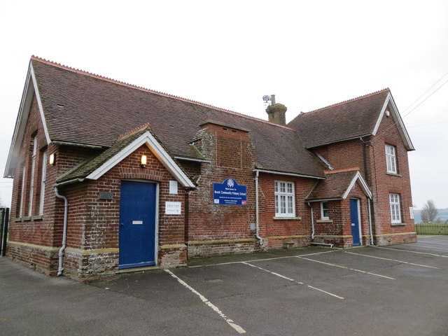
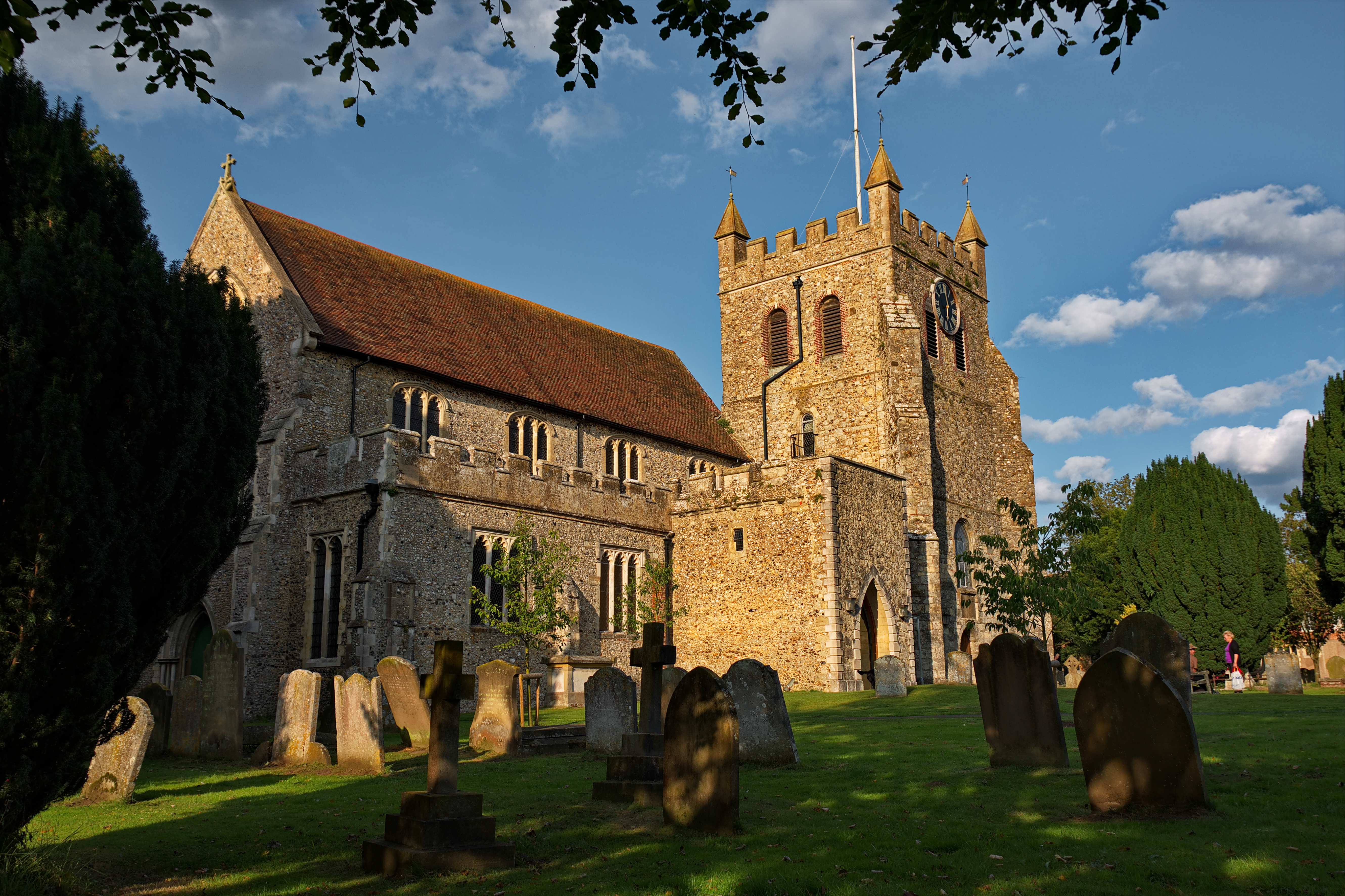
Despite its small size, Brook offers several amenities to its residents. These include a local pub, a village hall, and a small church that adds to the village's historic charm. The village also benefits from convenient transportation links, with nearby access to major roads and railways, making it an ideal location for commuters.
Brook is surrounded by a wealth of natural beauty and opportunities for outdoor activities. The nearby Kent Downs, an Area of Outstanding Natural Beauty, provides ample opportunities for walking, cycling, and exploring the countryside. Additionally, the village is within easy reach of several historic sites and attractions, including Leeds Castle and Canterbury Cathedral, making it an excellent base for day trips and exploring the wider region of Kent.
In conclusion, Brook is a delightful village in Kent that offers a peaceful and picturesque setting, a strong sense of community, and convenient access to both nature and cultural attractions.
If you have any feedback on the listing, please let us know in the comments section below.
Brook Images
Images are sourced within 2km of 51.158673/0.949046 or Grid Reference TR0644. Thanks to Geograph Open Source API. All images are credited.


Brook is located at Grid Ref: TR0644 (Lat: 51.158673, Lng: 0.949046)
Administrative County: Kent
District: Ashford
Police Authority: Kent
What 3 Words
///fits.negotiators.another. Near Wye, Kent
Nearby Locations
Related Wikis
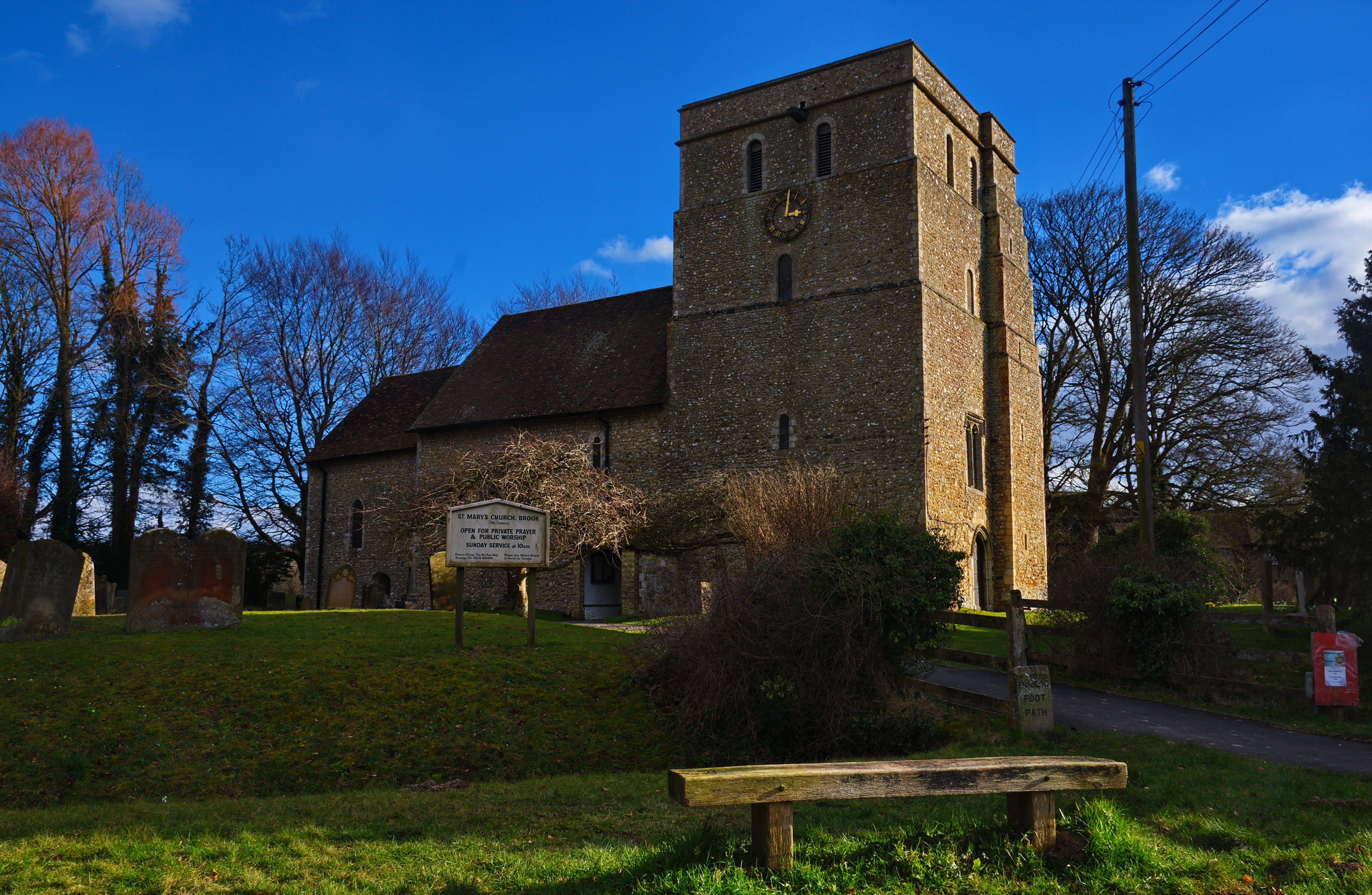
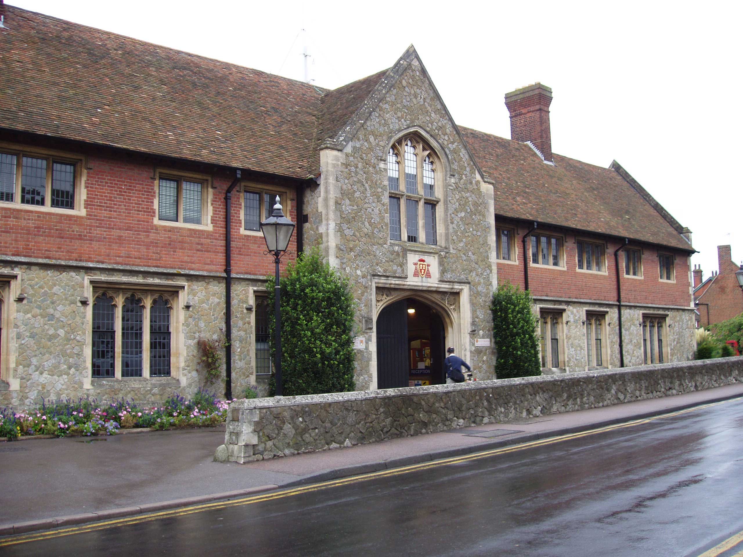
Brook, Kent
Brook is a small village and civil parish in the borough of Ashford in Kent, England, centred 4.5 miles (7.2 km) east-northeast of the town of Ashford...

Wye and Crundale Downs
Wye and Crundale Downs is a 358.3-hectare (885-acre) biological and geological Site of Special Scientific Interest in a number of separate areas east of...

Wye with Hinxhill
Wye with Hinxhill is a hillside civil parish in the borough of Ashford northeast of Ashford, Kent itself, centred 3.7 miles (6.0 km) NNE of the town centre...
Wye, Kent
Wye is a village and former civil parish, now in the parish of Wye with Hinxhill, in the Ashford district, in Kent, England, 5 miles (8.0 km) from Ashford...
Wye College
The College of St Gregory and St Martin at Wye, commonly known as Wye College, was an education and research institution in the village of Wye, Kent. In...

Wye School
Wye School is a British, mixed, secondary, free school in Wye, Kent. As of 2022, it is operated by United Learning. == History == Wye School opened in...
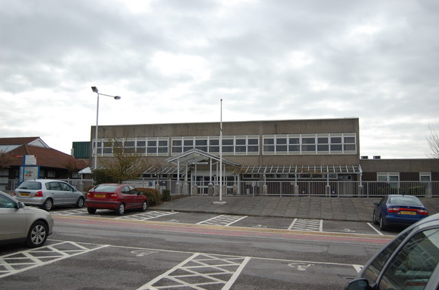
William Harvey Hospital
The William Harvey Hospital is a hospital in Willesborough, Ashford, Kent, England. It is one of the three main hospitals in the East Kent Hospitals University...
AHBS Community Radio
AHBS Hospital Radio is a hospital radio station serving the town of Ashford, Kent which launched on December 26, 1971. The station broadcasts 24 hours...
Related Videos

Country Walking: Challock and Boughton Aluph. 29/9/22
A very good 8.8 mile walk from Country Walking magazine (though adapted here to 12.3 miles) on a pleasant autumn afternoon.

Summer Solstice Evening Walk 🌞
Summer Solstice is my fave night to explore! Sunset is at 9.15 ish! There have been a couple of previous SS videos as mentioned ...

Summer Solstice Party Walk!!!
summersolstice #party #kentwalks Summer Solstice is the best festival and time of the year. It is right at the top of the walking ...

Family hike vlog | Kent Downs UK | Wye Valley
Our hike around one of the many beautiful walks in Kent, UK. Between Canterbury and Ashford, a convenient free car park makes ...
Nearby Amenities
Located within 500m of 51.158673,0.949046Have you been to Brook?
Leave your review of Brook below (or comments, questions and feedback).