Little London

Settlement in Surrey Guildford

England

Little London

Direction Sign – Signpost on Upper Street, Shere Located on the north side of the junction of Upper Street and Middle Street in Shere parish. 3 arms and cone finial.

Milestone Society National ID: SY_TQ0747
Direction Sign – Signpost on Upper Street, Shere Credit: John V Nicholls

Little London is a charming village located in the heart of Surrey, England. Situated just a few miles from the bustling town of Guildford, this picturesque hamlet offers a tranquil retreat from the hustle and bustle of city life. With a population of around 1,000 residents, it maintains a close-knit community atmosphere and a strong sense of village pride.

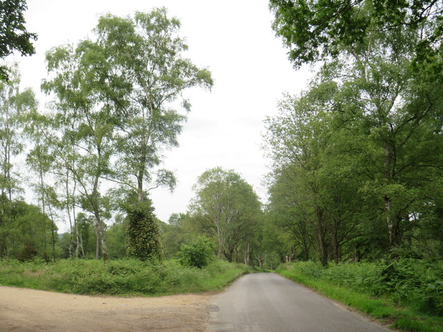
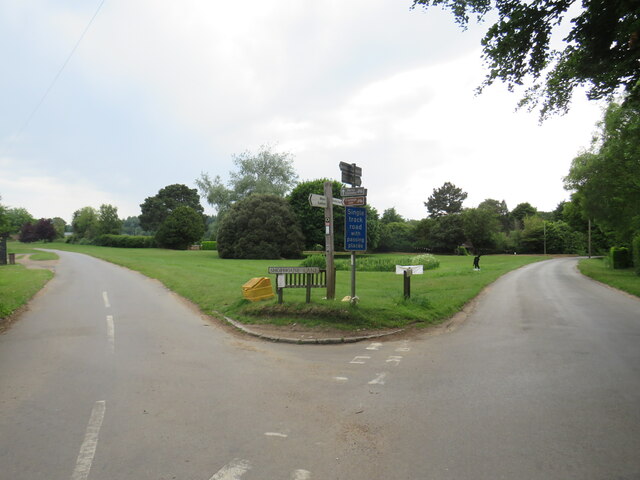
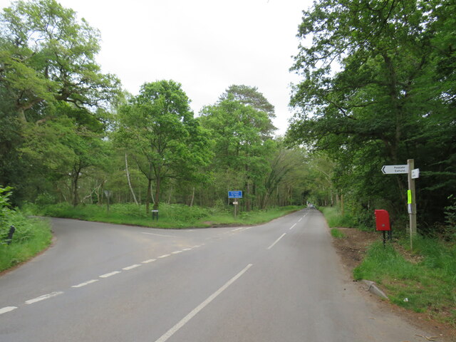
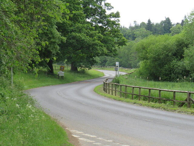
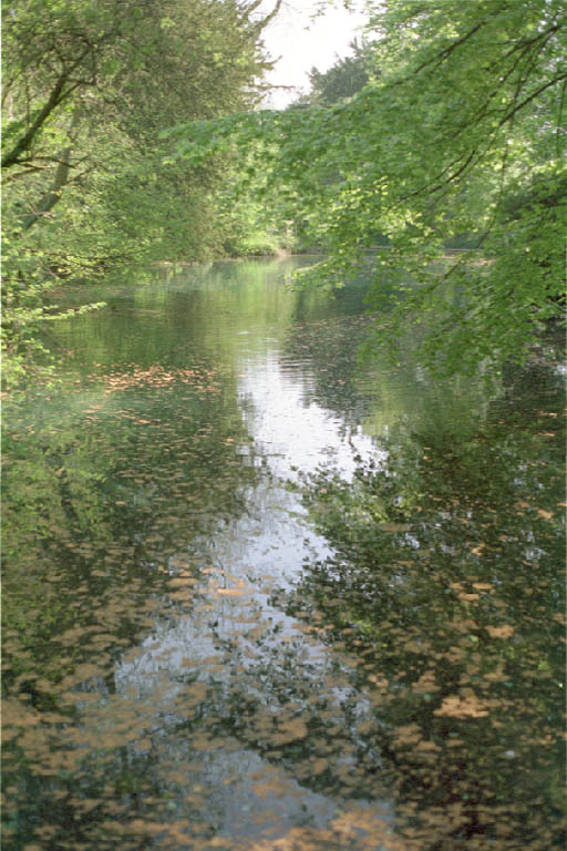
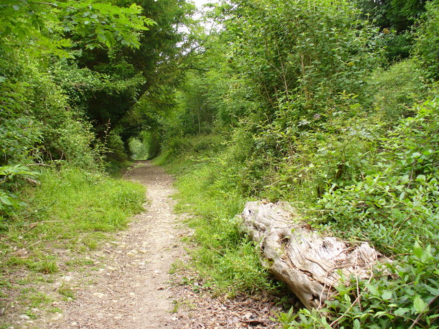
One of the standout features of Little London is its stunning natural surroundings. Surrounded by lush green fields and rolling hills, the village provides an idyllic setting for outdoor enthusiasts. Numerous walking and cycling trails crisscross the area, allowing visitors and locals alike to explore the beautiful countryside.

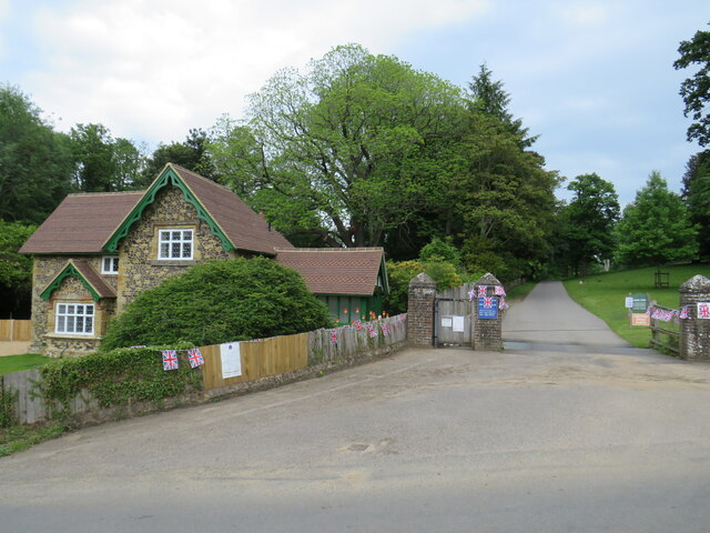
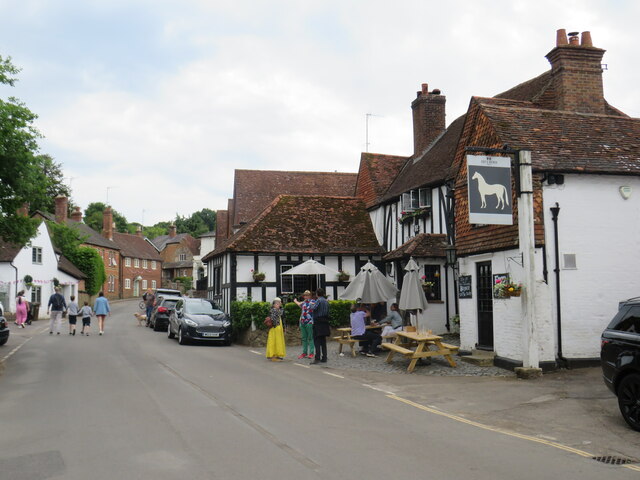
The village itself boasts an array of quaint cottages and historic buildings, giving it an authentic and timeless feel. The centerpiece of Little London is the charming St. Mary's Church, a Grade I listed building dating back to the 12th century. Its striking architecture and peaceful churchyard make it a popular spot for both locals and history enthusiasts.

Although small in size, Little London offers a handful of amenities to cater to its residents. These include a local pub, The Red Lion Inn, which serves delicious traditional British cuisine, and a village hall that hosts various community events throughout the year.

Overall, Little London, Surrey, is a hidden gem that offers a peaceful and picturesque escape for those seeking a slower pace of life. Its natural beauty, historic charm, and strong sense of community make it a truly special place to visit or call home.

If you have any feedback on the listing, please let us know in the comments section below.

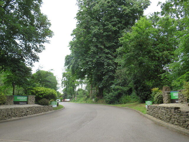
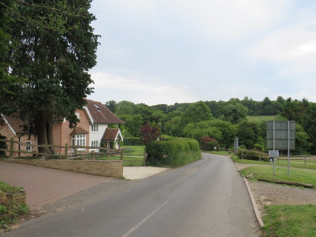
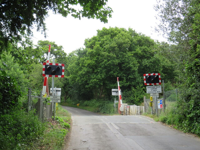
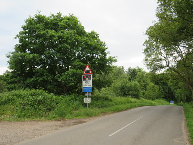
Little London Images

Images are sourced within 2km of 51.209932/-0.47564378 or Grid Reference TQ0646. Thanks to Geograph Open Source API. All images are credited.

Direction Sign – Signpost on Upper Street, Shere Located on the north side of the junction of Upper Street and Middle Street in Shere parish. 3 arms and cone finial.

Milestone Society National ID: SY_TQ0747
Direction Sign – Signpost on Upper Street, Shere
Located on the north side of the junction of Upper Street and Middle Street in Shere parish. 3 arms and cone finial. Milestone Society National ID: SY_TQ0747
No. 35028 'Clan Line' with the Belmond British Pullman No. 35028 'Clan Line' approaches the Sandy Lane bridge near Shere with the Belmond British Pullman circular dining tour from Victoria via Guildford.
No. 35028 'Clan Line' with the Belmond British Pullman
No. 35028 'Clan Line' approaches the Sandy Lane bridge near Shere with the Belmond British Pullman circular dining tour from Victoria via Guildford.
Farley Heath Road, near Farley Green Farley Heath Road is a minor road passing through Surrey countryside.  It is on route 22 of the National Cycle Network
Farley Heath Road, near Farley Green
Farley Heath Road is a minor road passing through Surrey countryside. It is on route 22 of the National Cycle Network
August Lane, Farley Green August Lane entering the small hamlet of Farley Green in Surrey.  This road is on route 22 of the National Cycle Network.
August Lane, Farley Green
August Lane entering the small hamlet of Farley Green in Surrey. This road is on route 22 of the National Cycle Network.
Road junction at Farley Green A road junction in the Surrey hamlet of Farley Green.  The road to the right is on route 22 of the National Cycle Network.
Road junction at Farley Green
A road junction in the Surrey hamlet of Farley Green. The road to the right is on route 22 of the National Cycle Network.
Caravan park entrance, Farley Green, near Guildford The entrance to Edgeley caravan park in the Surrey countryside.
Caravan park entrance, Farley Green, near Guildford
The entrance to Edgeley caravan park in the Surrey countryside.
New Road, Brook, near Guildford New Road passing through the hamlet of Brook, near Guildford.
New Road, Brook, near Guildford
New Road passing through the hamlet of Brook, near Guildford.
Level crossing at Brook, near Guildford A level crossing on the North Downs Line at Brook, near Guildford.  Train services on this railway line connect Reading and Guildford with Dorking, Redhill and Gatwick Airport
Level crossing at Brook, near Guildford
A level crossing on the North Downs Line at Brook, near Guildford. Train services on this railway line connect Reading and Guildford with Dorking, Redhill and Gatwick Airport
New Road, near Albury New Road in Surrey countryside, close to the village of Albury.  The road sign warns of a railway level crossing ahead.
New Road, near Albury
New Road in Surrey countryside, close to the village of Albury. The road sign warns of a railway level crossing ahead.
Road junction near Albury A junction of minor roads in the Surrey Hills, near the village of Albury.
Road junction near Albury
A junction of minor roads in the Surrey Hills, near the village of Albury.
Albury Park entrance and lodge An entrance to Albury Park, in Surrey.  The building to the left of the entrance is a lodge.
Albury Park entrance and lodge
An entrance to Albury Park, in Surrey. The building to the left of the entrance is a lodge.
A248 road at Albury A double bend on the A248 road as it enters the village of Albury.
A248 road at Albury
A double bend on the A248 road as it enters the village of Albury.
A25 road near Albury A view eastwards along the A25 road between Albury and Shere in Surrey.  The building on the opposite side of the road is Home Farm.
A25 road near Albury
A view eastwards along the A25 road between Albury and Shere in Surrey. The building on the opposite side of the road is Home Farm.
Upper Street, Shere Upper Street entering the village of Shere in Surrey.  The speed limit drops to 20 miles per hour through the village.
Upper Street, Shere
Upper Street entering the village of Shere in Surrey. The speed limit drops to 20 miles per hour through the village.
Upper Street, Shere Upper Street in the Surrey village of Shere.
Upper Street, Shere
Upper Street in the Surrey village of Shere.
Upper Street, Shere Upper Street in the Surrey village of Shere.
Upper Street, Shere
Upper Street in the Surrey village of Shere.
Shere village centre A road junction in the centre of the village of Shere in Surrey.
Shere village centre
A road junction in the centre of the village of Shere in Surrey.
Middle Street, Shere Middle Street in the village of Shere in Surrey.  To the right of the image is a pub called The White Horse.
Middle Street, Shere
Middle Street in the village of Shere in Surrey. To the right of the image is a pub called The White Horse.
Show me another place!

Little London is located at Grid Ref: TQ0646 (Lat: 51.209932, Lng: -0.47564378)

Administrative County: Surrey

District: Guildford

Police Authority: Surrey

What 3 Words

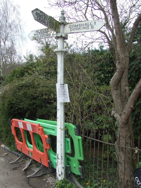
///ground.chew.grew. Near Peaslake, Surrey

Related Wikis

Albury Park

Albury Park is a country park and Grade II* listed historic country house (Albury Park Mansion) in Surrey, England. It covers over 150 acres (0.61 km2...

Old St Peter and St Paul's Church, Albury

Old St Peter and St Paul's Church is a former Anglican church near the village of Albury, Surrey, England in the care of The Churches Conservation Trust...

Shere

Shere is a village in the Guildford district of Surrey, England 4.8 miles (7.7 km) east south-east of Guildford and 5.4 miles (8.7 km) west of Dorking...

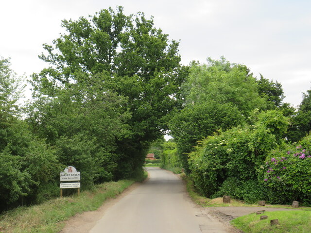
Farley Green, Surrey

Farley Green is a small hamlet of Albury in the Greensand Ridge where it forms the south of the Surrey Hills AONB, to the south east of Guildford. �...

Silent Pool

Silent Pool is a spring-fed lake at the foot of the North Downs, about 4 miles (6 km) east of Guildford in Surrey. The outflow from Silent Pool runs into...

Surrey Hills AONB

The Surrey Hills is a 422 km2 (163 sq mi) Area of Outstanding Natural Beauty (AONB) in Surrey, England, which principally covers parts of the North Downs...

Albury, Surrey

Albury is a village and civil parish in central Surrey, England, around 3.5 miles (5.6 km) east of Guildford. It is in the Surrey Hills Area of Outstanding...

Combe Bottom

Combe Bottom is a 42.1-hectare (104-acre) biological Site of Special Scientific Interest north of Shere in Surrey. It is designated a Local Nature Reserve...

Related Videos

The Holiday Filming Location | Shere, Surrey England

The Holiday Filming Location Today, I took a little day trip from London to Shere in the Guildford district of Surrey. I tried to visit as ...

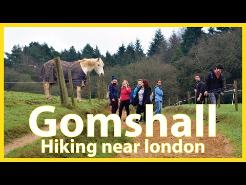
Leith Hill 🇬🇧 Holmwood to Gomshall walk | Hiking UK

Gomshall to Guildford walk Historic Shere, then a walk through a broad wooded valley, then along a canal to historic Guildford Se ...

The Holiday movie location - Shere, Surrey

Join this channel to get access to perks: https://www.youtube.com/channel/UCDEPoz1HuWuWG4Rvk5XRF7A/join Instagram ...

Gomshall - Shere Circular Walking Trail | Marathi Travelogue

This is a 8.9-km circular trail near Guildford, Surrey. Generally considered an easy route, it takes an average of 2 h 53 min to ...

Nearby Amenities

Located within 500m of 51.209932,-0.47564378
Post Box
Postal Code: GU5
Ref: GU5 146
Source: photo
Lat/Long: 51.209035/-0.4764694
Brook
Place: hamlet
Source: npe
Lat/Long: 51.2069662/-0.4809063
ALBURY-1
Disused: yes
Man Made: petroleum_well
Ref GB Decc: LR/23-3
Source: DECC
Lat/Long: 51.2135/-0.4796111
Bus Stop
Bench: yes
Bin: no
Shelter: yes
Tactile Paving: no
Lat/Long: 51.2122555/-0.4786647
Bus Stop
Bench: no
Bin: no
Shelter: no
Tactile Paving: no
Lat/Long: 51.2124383/-0.4789909
Talgai
Naptan AtcoCode: 40004407394A
Naptan Bearing: W
Naptan BusStopType: CUS
Naptan CommonName: Talgai
Naptan Indicator: Just after
Naptan Landmark: Talgai
Naptan NaptanCode: suratgwp
Naptan Street: Park Road
Naptan Verified: no
Source: naptan_import
Lat/Long: 51.212265/-0.478824
Talgai
Naptan AtcoCode: 40004407394B
Naptan Bearing: E
Naptan BusStopType: CUS
Naptan CommonName: Talgai
Naptan Indicator: Just Before
Naptan Landmark: Talgai
Naptan NaptanCode: suratjad
Naptan Street: Park Road
Naptan Verified: no
Source: naptan_import
Lat/Long: 51.2123255/-0.4786359
Barrier: kissing_gate
Lat/Long: 51.212313/-0.4756905
Note: The crossing here is now closed. Replaced by a bridge to the NE.
Lat/Long: 51.2101751/-0.4701197
Little London
Place: hamlet
Lat/Long: 51.2103405/-0.477215
Barrier: stile
Lat/Long: 51.2062858/-0.4726322
Barrier: stile
Lat/Long: 51.2107693/-0.4772877
Bench
Lat/Long: 51.2111636/-0.4817682
Advertising: board
Support: pole
Lat/Long: 51.209105/-0.4764161
Barrier: bollard
Lat/Long: 51.210113/-0.4698184
Bench
Backrest: no
Seats: 2
Lat/Long: 51.2121563/-0.4739115
Power: substation
Lat/Long: 51.2107743/-0.4771334
Man Made: street_cabinet
Operator: BT
Street Cabinet: vdslam
Lat/Long: 51.2100007/-0.4755305
Man Made: street_cabinet
Operator: BT
Street Cabinet: pcp
Lat/Long: 51.2099949/-0.4752395
The data included in this document is from www.openstreetmap.org. The data is made available under ODbL.

Have you been to Little London?

Leave your review of Little London below (or comments, questions and feedback).