Brook

Settlement in Hampshire

England

Brook

Climbing up from Compton Beach – 1978 Not the best of weather for an open-top bus trip, this was a special hire by a group of bus enthusiasts visiting the island.

Southern Vectis 702 is a Bristol K with ECW bodywork, new to the company in 1939 and converted for open top services in 1959. When this view was taken she was already approaching her 40th year of service with the company, and although seen here on a private charter, was still regularly used on normal services. In 2021, now affectionately called 'The Old Girl', she is still in service, although now only used for special private charter work. As such, she holds the UK, and possibly world, record for a bus in continuous service with the same operator.

This is one of a series of views featuring buses in the 60s, 70s, and 80s. <a title="https://www.geograph.org.uk/search.php?i=137652761" href="https://www.geograph.org.uk/search.php?i=137652761">Link</a>
Climbing up from Compton Beach – 1978 Credit: Alan Murray-Rust

Brook is a small village located in the county of Hampshire, England. Situated in the rural Meon Valley, it is nestled amidst picturesque countryside and offers a tranquil setting for its residents. With a population of around 500 people, the village maintains a close-knit community atmosphere.

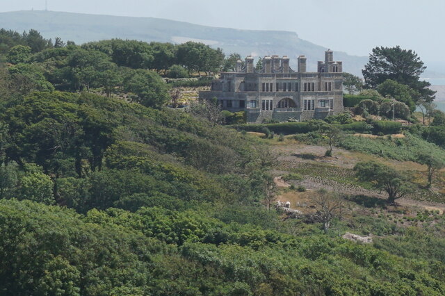
The origins of Brook can be traced back to the medieval era, and its history is reflected in the charming architecture that can be found throughout the village. Traditional thatched cottages, ancient farmhouses, and a beautiful 12th-century church contribute to the area's character and appeal.

Despite its small size, Brook is well-served by amenities. The village boasts a primary school, a community center, and a pub, which serves as a popular gathering place for locals. The community center hosts various events and activities, fostering a strong sense of community spirit.

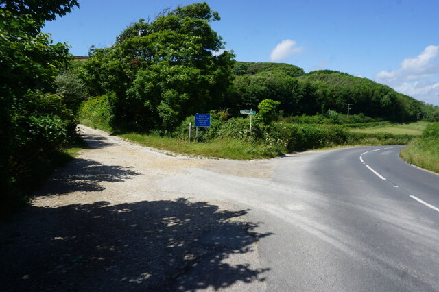
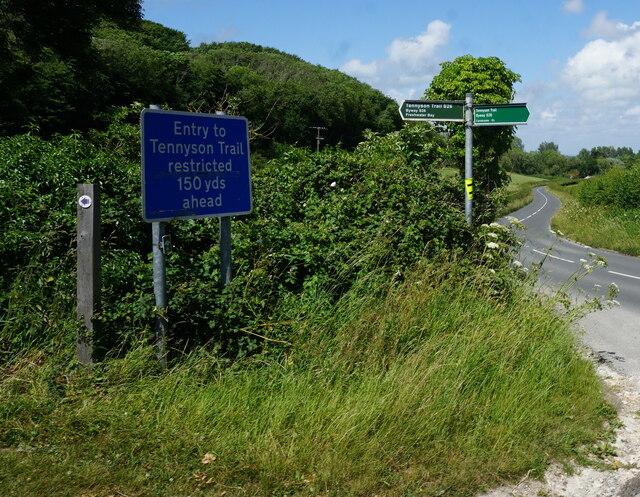
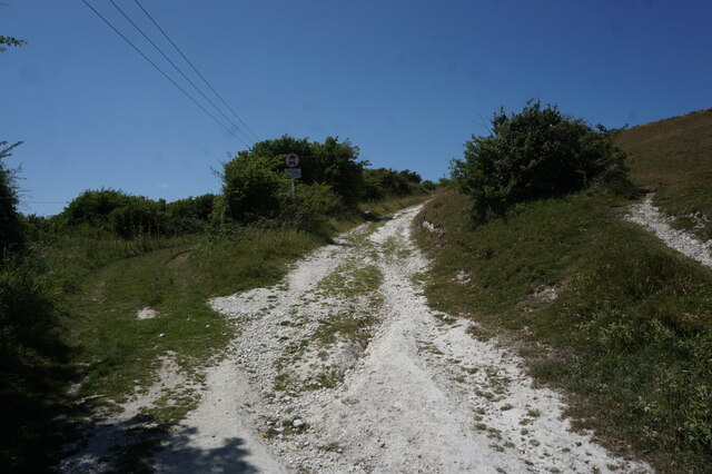
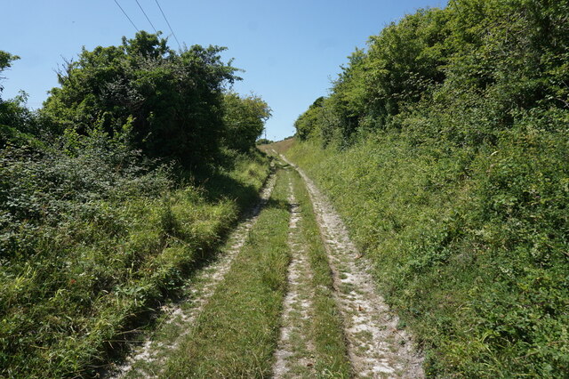
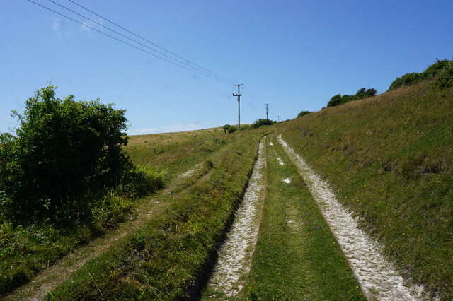
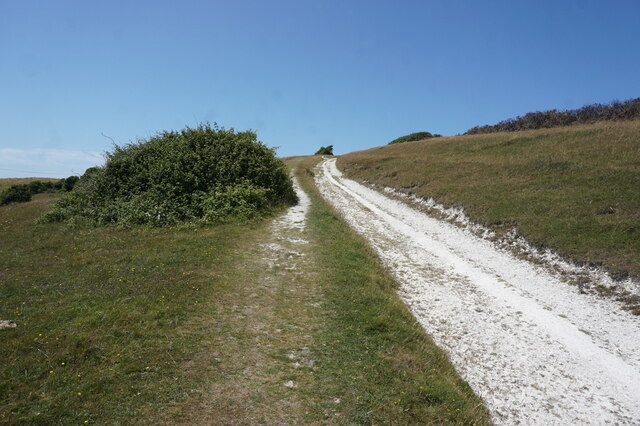
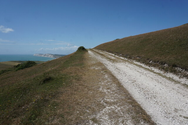
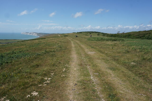
Surrounded by rolling hills and meandering rivers, Brook is a haven for outdoor enthusiasts. The village is situated near the South Downs National Park, providing ample opportunities for hiking, cycling, and horse riding. Additionally, the nearby Meon Valley Trail offers a scenic route for walkers, runners, and cyclists to explore the surrounding countryside.

Brook's location also makes it an ideal base for exploring the wider Hampshire area. The historic city of Winchester, with its famous cathedral and bustling high street, is just a short drive away. The coastal cities of Portsmouth and Southampton are also within easy reach, offering a range of cultural attractions, shopping opportunities, and seaside activities.

In summary, Brook is a charming village nestled in the idyllic Hampshire countryside, with a rich history, a strong sense of community, and easy access to both natural beauty and urban amenities.

If you have any feedback on the listing, please let us know in the comments section below.
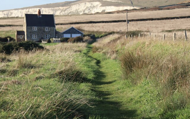
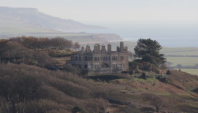
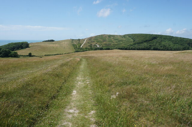
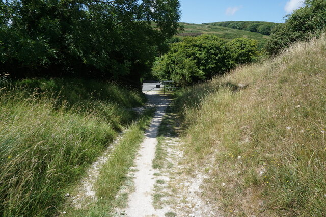
Brook Images

Images are sourced within 2km of 50.653733/-1.460579 or Grid Reference SZ3883. Thanks to Geograph Open Source API. All images are credited.

Climbing up from Compton Beach – 1978 Not the best of weather for an open-top bus trip, this was a special hire by a group of bus enthusiasts visiting the island.

Southern Vectis 702 is a Bristol K with ECW bodywork, new to the company in 1939 and converted for open top services in 1959. When this view was taken she was already approaching her 40th year of service with the company, and although seen here on a private charter, was still regularly used on normal services. In 2021, now affectionately called 'The Old Girl', she is still in service, although now only used for special private charter work. As such, she holds the UK, and possibly world, record for a bus in continuous service with the same operator.

This is one of a series of views featuring buses in the 60s, 70s, and 80s. <a title="https://www.geograph.org.uk/search.php?i=137652761" href="https://www.geograph.org.uk/search.php?i=137652761">Link</a>
Climbing up from Compton Beach – 1978
Not the best of weather for an open-top bus trip, this was a special hire by a group of bus enthusiasts visiting the island. Southern Vectis 702 is a Bristol K with ECW bodywork, new to the company in 1939 and converted for open top services in 1959. When this view was taken she was already approaching her 40th year of service with the company, and although seen here on a private charter, was still regularly used on normal services. In 2021, now affectionately called 'The Old Girl', she is still in service, although now only used for special private charter work. As such, she holds the UK, and possibly world, record for a bus in continuous service with the same operator. This is one of a series of views featuring buses in the 60s, 70s, and 80s. Link
Grassy path from Brook This is Public Bridleway BS87, an extension of Coastguard Lane towards Compton Grange.
Grassy path from Brook
This is Public Bridleway BS87, an extension of Coastguard Lane towards Compton Grange.
The Tennyson Trail across Brook Down Offering wonderful views from the top of West Wight's chalkland spine, the Trail passes through the whole of the grid square en route to Tennyson Down.
The Tennyson Trail across Brook Down
Offering wonderful views from the top of West Wight's chalkland spine, the Trail passes through the whole of the grid square en route to Tennyson Down.
Brook Hill House A Grade 2-listed country house built in the early years of the 20th century for Charles Seely, 1st Baronet (1833-1915). The building became the home of writer J B Priestley between 1948 and 1959, and has since been converted into six apartments.
Brook Hill House
A Grade 2-listed country house built in the early years of the 20th century for Charles Seely, 1st Baronet (1833-1915). The building became the home of writer J B Priestley between 1948 and 1959, and has since been converted into six apartments.
Sunset seen from Shippards Chine
Tennyson Trail towards Brook Down
Tennyson Trail crosses over the B3399
Tennyson Trail at the B3399
Tennyson Trail enters Brook Down
Tennyson Trail on Brook Down
Path on Brook Down
Path on Brook Down
Path on Brook Down
Path on Brook Down
Tennyson Trail on Brook Down
Brook Hill House from Brook Down
Tennyson Trail on Brook Down
View from Brook Down
Tennyson Trail on Brook Down
Show me another place!

Brook is located at Grid Ref: SZ3883 (Lat: 50.653733, Lng: -1.460579)

Unitary Authority: Isle of Wight

Police Authority: Hampshire

What 3 Words

///electrode.tutorial.automatic. Near Brighstone, Isle of Wight

Related Wikis

Brook Bay

Brook Bay is a bay on the south western coast of the Isle of Wight, England. It lies to the west of the village of Brook. It faces south west out into...

Brook, Isle of Wight

Brook is a village and former civil parish, now in the parish of Brighstone, on the Isle of Wight, England. In 1931 the parish had a population of 156...

Brookgreen

Brook Green is a small hamlet on the Isle of Wight located at Brook on the Back of the Wight. It is owned by the National Trust. == References ==

St Mary's Church, Brook

St Mary's Church, Brook is a parish church in the Church of England located in Brook, Isle of Wight. == History == The church dates from 1864 by the architect...

Hulverstone

Hulverstone is a hamlet of about 12 houses on the Isle of Wight on the edge of the English Channel. It has a post office in a private home and the 400...

1957 Aquila Airways Solent crash

The 1957 Aquila Airways Solent crash occurred on the Isle of Wight in England on 15 November. With 45 lives lost, at the time it was the second worst aircraft...

Shalcombe

Shalcombe is a hamlet on the Isle of Wight towards the west in an area known as West Wight. It is in the civil parish of Shalfleet. It is situated along...

Compton Down

Compton Down is a hill on the Isle of Wight just to the east of Freshwater Bay. It is part of the chalk ridge which forms the "backbone" of the Isle of...

Nearby Amenities

Located within 500m of 50.653733,-1.460579
Source: PGS
Lat/Long: 50.6514812/-1.4616298
Source: Bing
Lat/Long: 50.6549/-1.4670879
Source: Locally rectified NPE map
Lat/Long: 50.6561353/-1.454948
Source: Locally rectified NPE map
Lat/Long: 50.6526147/-1.4562021
Bus Stop
Compton Bay
Bench: no
Bin: no
Bus: yes
Contact Website: https://www.islandbuses.info/stops/230000012120
Lit: no
Naptan AtcoCode: 230000012120
Naptan Bearing: NW
Naptan CommonName: Hanover Point
Naptan Indicator: towards Freshwater Bay
Naptan Landmark: National Trust Car Park
Naptan NaptanCode: iowjpdp
Naptan Street: Military Road
Public Transport: platform
Shelter: no
Source: naptan_import
Source Name: Southern Vectis
Tactile Paving: no
Lat/Long: 50.6551257/-1.4657589
Bus Stop
Compton Bay
Bench: no
Bin: no
Bus: yes
Contact Website: https://www.islandbuses.info/stops/230000013620
Lit: no
Naptan AtcoCode: 230000013620
Naptan Bearing: SE
Naptan BusStopType: CUS
Naptan CommonName: Hanover Point
Naptan Indicator: towards Newport
Naptan NaptanCode: iowmgmj
Naptan Street: Military Road
Public Transport: platform
Shelter: no
Source: naptan_import
Source Name: Southern Vectis
Tactile Paving: no
Lat/Long: 50.6552829/-1.4655649
Bicycle Parking
Hanover Point bike parking
Bicycle Parking: stands
Capacity: 8
Covered: no
Lat/Long: 50.6552588/-1.4662373
Seamark Type: beacon_special_purpose
Lat/Long: 50.6515402/-1.4647835
Disused Shop: yes
Lat/Long: 50.6552819/-1.4666068
Board Type: wildlife
Check Date: 2022-10-09
Information: board
Tourism: information
Lat/Long: 50.655103/-1.4661987
Vending Machine
Check Date: 2022-10-09
Vending: parking_tickets
Lat/Long: 50.6550333/-1.4663208
Hiking: yes
Information: guidepost
Tourism: information
Lat/Long: 50.6524379/-1.4608611
Hiking: yes
Information: guidepost
Tourism: information
Lat/Long: 50.6506646/-1.4564234
Vending Machine
Vending: parking_tickets
Lat/Long: 50.650784/-1.4558353
Bicycle Parking
Lat/Long: 50.6507781/-1.4557971
Information: board
Tourism: information
Lat/Long: 50.650764/-1.45584
Hiking: yes
Information: guidepost
Tourism: information
Lat/Long: 50.6507955/-1.4558876
Addr Housename: Coastguard Cottages
Lat/Long: 50.6526981/-1.4558067
Addr Housename: Dunsbury Cottages
Lat/Long: 50.6564396/-1.4552861
Hiking: yes
Information: guidepost
Tourism: information
Lat/Long: 50.6527546/-1.456752
Barrier: stile
Lat/Long: 50.6527767/-1.4567707
Defibrillator
Check Date: 2023-10-22
Emergency: defibrillator
Lat/Long: 50.6552914/-1.4660358
The data included in this document is from www.openstreetmap.org. The data is made available under ODbL.

Have you been to Brook?

Leave your review of Brook below (or comments, questions and feedback).