Lavender Dale

Valley in Yorkshire

England

Lavender Dale

Track on top of the wold looking north
Track on top of the wold looking north Credit: David Brown

The requested URL returned error: 429 Too Many Requests

If you have any feedback on the listing, please let us know in the comments section below.

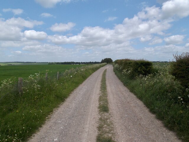
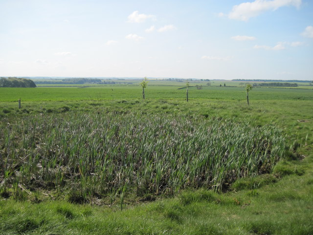
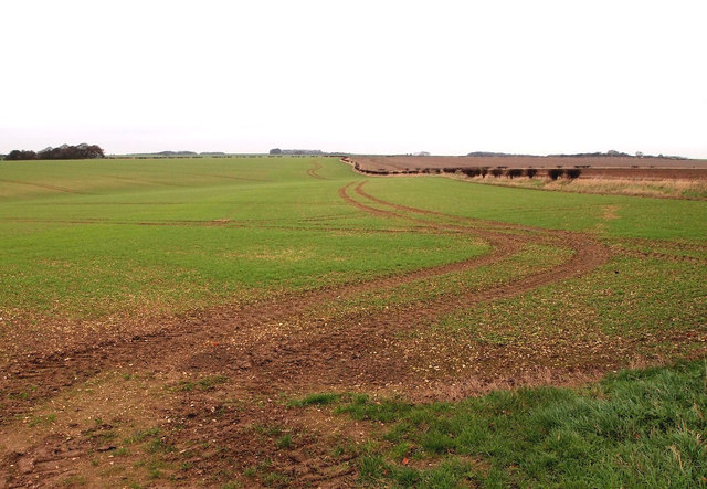
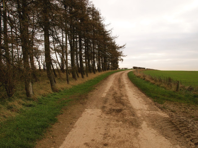
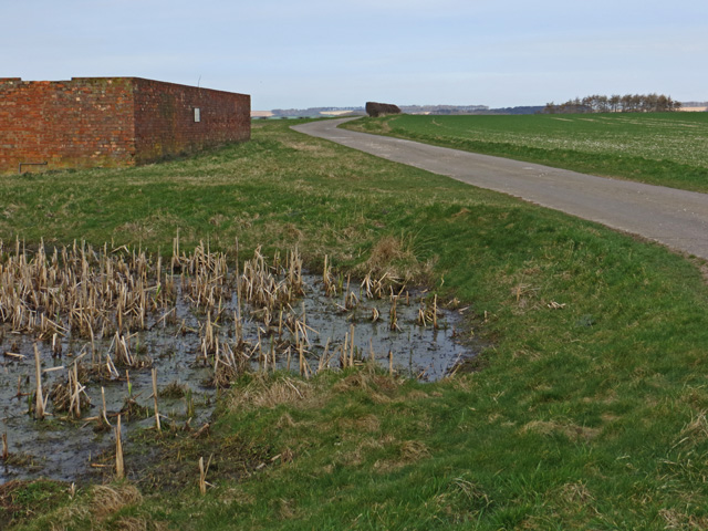
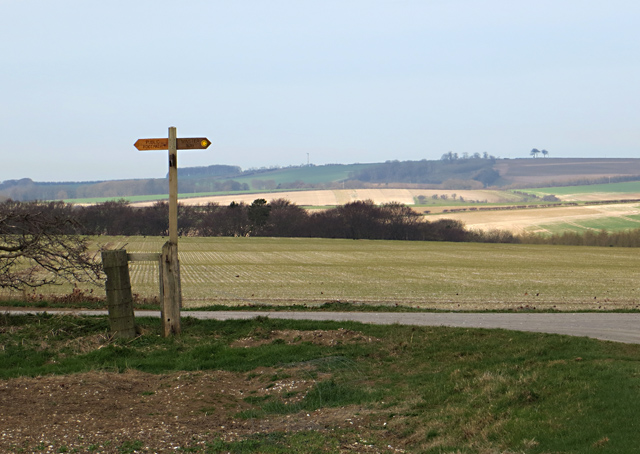
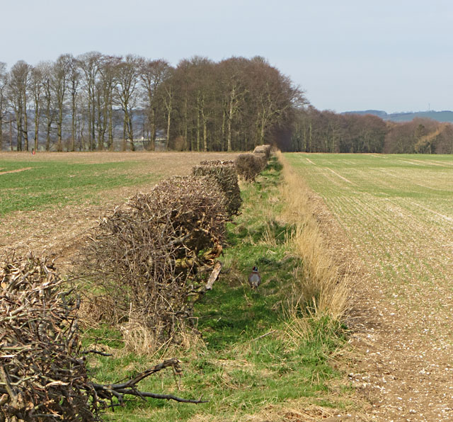
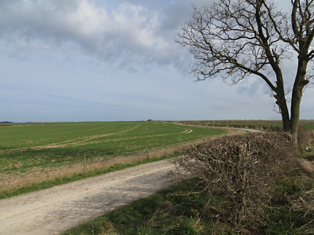
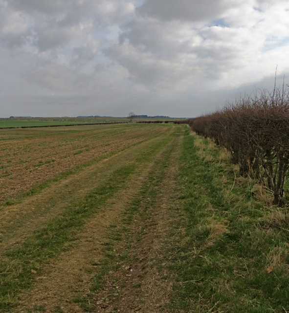
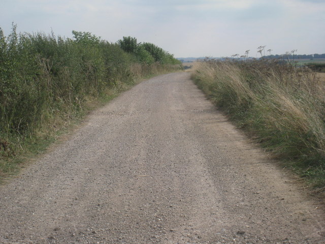
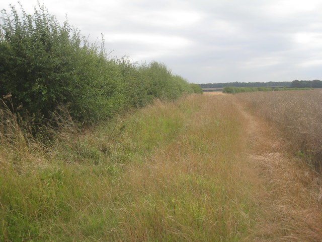
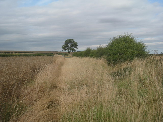
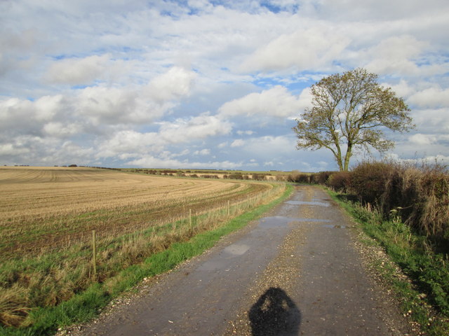
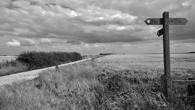
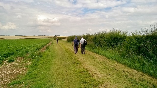
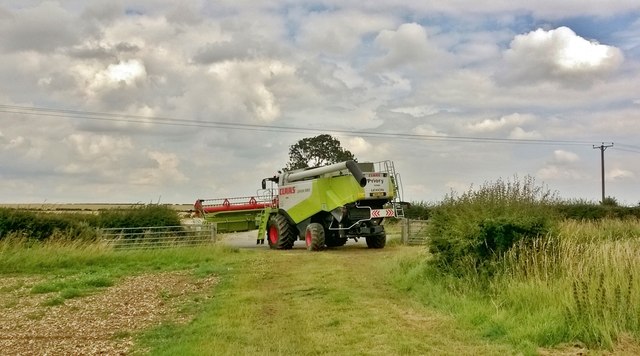
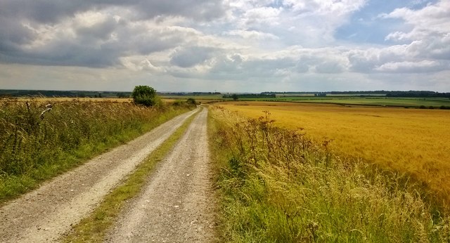
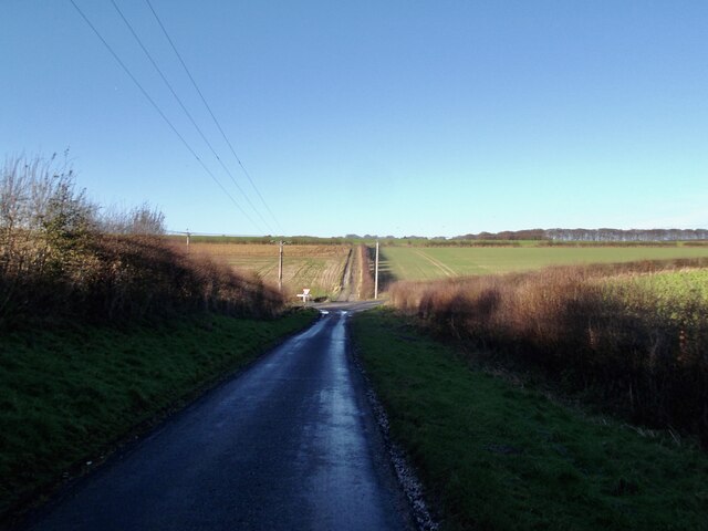
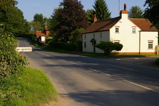
Lavender Dale Images

Images are sourced within 2km of 53.958081/-0.64918473 or Grid Reference SE8852. Thanks to Geograph Open Source API. All images are credited.

Track on top of the wold looking north
Dew  Pond  on  the  Yorkshire  Wolds As we have had a very dry spring it's dry. Alongside the Minster Way footpath.
Dew Pond on the Yorkshire Wolds
As we have had a very dry spring it's dry. Alongside the Minster Way footpath.
Farmland north east of Thirty Acres
Copse near Thirty Acres
By the Minster Way, E. Yorks A small pond and isolated farm buildings sit to the south of the farm road which carries the Minster Way west of North Dalton
By the Minster Way, E. Yorks
A small pond and isolated farm buildings sit to the south of the farm road which carries the Minster Way west of North Dalton
Yorkshire Wolds footpath junction The Minster Way route takes a right turn to the north here (indicated on the waymarker post); the footpath to the left runs along the farm road towards the B1246 Middleton to Warter road.
Yorkshire Wolds footpath junction
The Minster Way route takes a right turn to the north here (indicated on the waymarker post); the footpath to the left runs along the farm road towards the B1246 Middleton to Warter road.
Towards Thirty Acre Plantation Hedgerow to the west of the footpath/farm road (a pheasant is just about visible to the right of the hedge)
Towards Thirty Acre Plantation
Hedgerow to the west of the footpath/farm road (a pheasant is just about visible to the right of the hedge)
Footpath towards Huggate Farm track/public footpath running north from the B1246 Middleton to Warter road; eventually it joins the Minster Way and heads towards Huggate
Footpath towards Huggate
Farm track/public footpath running north from the B1246 Middleton to Warter road; eventually it joins the Minster Way and heads towards Huggate
Footpath on the Yorkshire Wolds Footpath running south of the B1246 to the west of Warter Farm House
Footpath on the Yorkshire Wolds
Footpath running south of the B1246 to the west of Warter Farm House
Footpath near Thirty Acres Uses this farm track.
Footpath near Thirty Acres
Uses this farm track.
Footpath to Middleton Road Rather hard going at this time of year due to the uncut vegetation.
Footpath to Middleton Road
Rather hard going at this time of year due to the uncut vegetation.
Footpath to the B1246 Rather hard going at this time of year owing to the uncut vegetation.
Footpath to the B1246
Rather hard going at this time of year owing to the uncut vegetation.
Track  from  the  B1246  to  Blanch  Farm It is also a footpath and links to the long distance Minster Way on the wold top.
Track from the B1246 to Blanch Farm
It is also a footpath and links to the long distance Minster Way on the wold top.
High on the Yorkshire Wolds... ... a touch of nostalgia overtook me. I took some of my first pictures around here in the 1950s with a 1920s pin hole box camera. Sadly, none have survived.

The Minster Way connects the magnificent minsters of Beverley and York in a 50 mile route across the Wolds and in the Derwent valley; see; <span class="nowrap"><a title="https://www.ldwa.org.uk/ldp/members/show_path.php?path_name=Minster+Way" rel="nofollow ugc noopener" href="https://www.ldwa.org.uk/ldp/members/show_path.php?path_name=Minster+Way">Link</a><img style="margin-left:2px;" alt="External link" title="External link - shift click to open in new window" src="https://s1.geograph.org.uk/img/external.png" width="10" height="10"/></span>
High on the Yorkshire Wolds...
... a touch of nostalgia overtook me. I took some of my first pictures around here in the 1950s with a 1920s pin hole box camera. Sadly, none have survived. The Minster Way connects the magnificent minsters of Beverley and York in a 50 mile route across the Wolds and in the Derwent valley; see; LinkExternal link
Track near Dalton Gates Potatoes coming on well in the field
Track near Dalton Gates
Potatoes coming on well in the field
Combine going to harvest Curiously, this machine was exiting a field of peas.
Combine going to harvest
Curiously, this machine was exiting a field of peas.
Cornfield near Thirty Acre
Sharp shadows at Dalton Gates
Show me another place!

Lavender Dale is located at Grid Ref: SE8852 (Lat: 53.958081, Lng: -0.64918473)

Division: East Riding

Unitary Authority: East Riding of Yorkshire

Police Authority: Humberside

What 3 Words

///outfit.bordering.nurtures. Near Millington, East Yorkshire

Related Wikis

Bigger Trees Near Warter

Bigger Trees Near Warter or ou Peinture en Plein Air pour l'age Post-Photographique is a large landscape painting by British artist David Hockney. Measuring...

St James' Church, Warter

St James’ Church lies in Warter, an estate village in England, in the Yorkshire Wolds, part of the East Riding of Yorkshire. == Origins and history... ==

Warter

Warter is a small village and civil parish in the East Riding of Yorkshire, England. It is situated approximately 4 miles (6.4 km) east of Pocklington...

Huggate

Huggate is a village and civil parish in the East Riding of Yorkshire, England. It is situated approximately 13 miles (21 km) north-west of Beverley town...

Related Videos

A walk from Huggate to Thixendale - Walks Around Britain Shorts

A quick look at a short walk along part of the 79 mile Yorkshire Wolds Way National Trail - between the villages of Huggate in the ...

HUGGATE: East Riding of Yorkshire Parish #84 of 172

EAST RIDING OF YORKSHIRE PARISH #84: HUGGATE We're on the High Wolds again folks, welcome to Huggate which lies ...

Z6 vs D500 for Wildlife Photography

Join me on a wildlife walk and talk. I cover mindfulness, nature and wildlife photography at a new 'mystery' location. Having had ...

WANDER: Poetry Bench, Huggate. One massive achievement!

WHAT CAN I SAY! I am going to be paying for today's walk for a week or more, but what an achievement! I feel so refreshed!

Nearby Amenities

Located within 500m of 53.958081,-0.64918473
Information: route_marker
Tourism: information
Lat/Long: 53.9590063/-0.6546964
The data included in this document is from www.openstreetmap.org. The data is made available under ODbL.

Have you been to Lavender Dale?

Leave your review of Lavender Dale below (or comments, questions and feedback).