Loaningdale Bottom
Valley in Yorkshire
England
Loaningdale Bottom
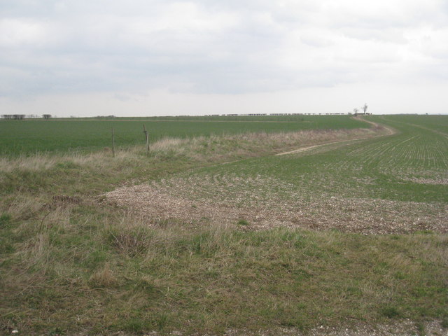
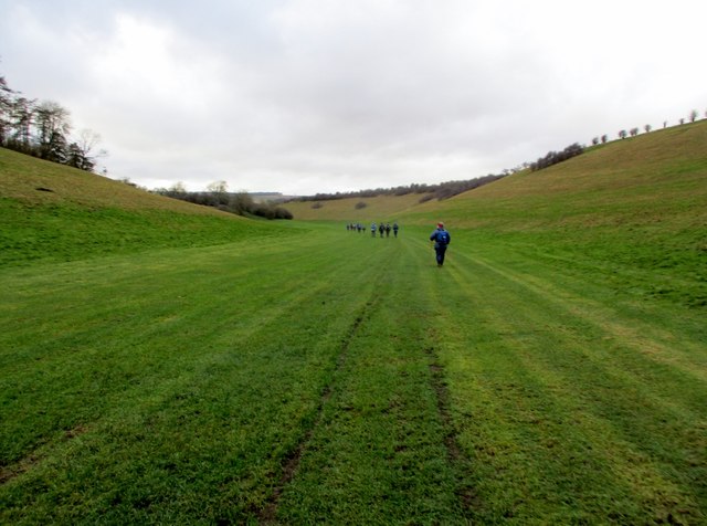
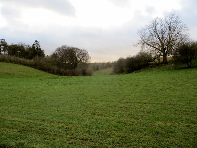
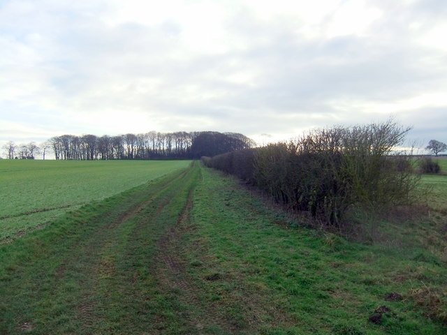
Loaningdale Bottom is a picturesque valley located in the county of Yorkshire, England. Nestled amidst rolling hills and lush greenery, this idyllic landscape is a haven for nature enthusiasts and those seeking tranquility away from the hustle and bustle of urban life.
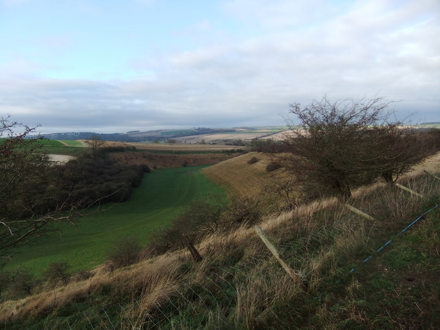
The valley is situated in the heart of Yorkshire, approximately 10 miles northeast of the city of Leeds. Its unique geographical features are primarily shaped by the meandering Loaningdale Beck, a charming stream that flows through the valley, providing a sense of serenity and natural beauty.
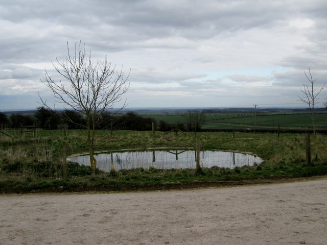
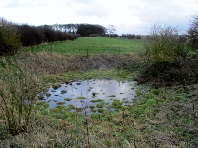
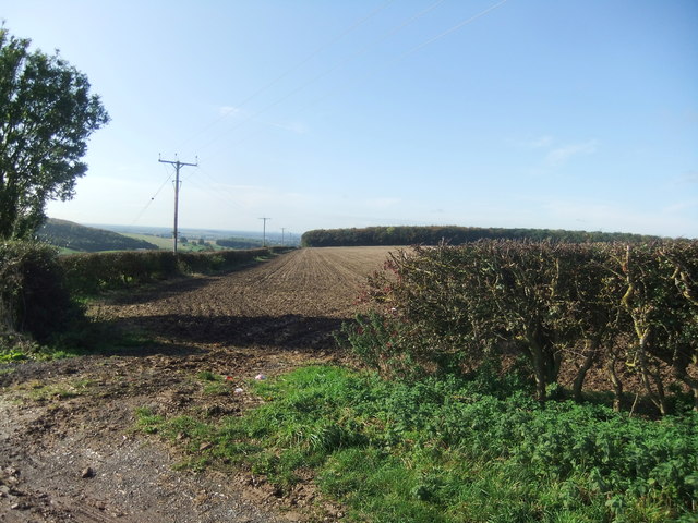
Loaningdale Bottom boasts a diverse range of flora and fauna, with its verdant meadows and woodlands providing a habitat for a variety of wildlife species. Visitors can expect to encounter an array of bird species, including kingfishers, herons, and various waterfowl, as well as small mammals such as rabbits and squirrels.
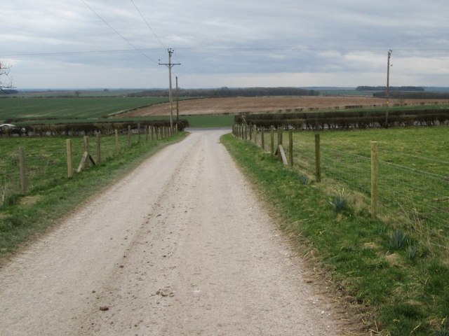
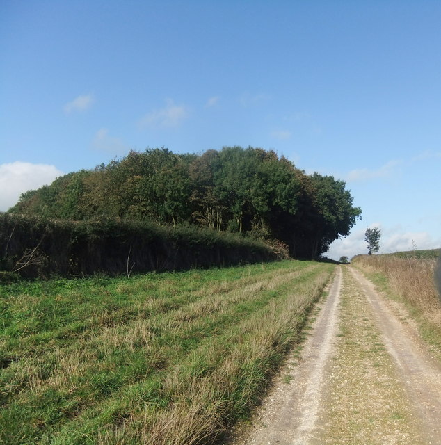
The valley is also home to several walking trails and footpaths, making it an ideal destination for outdoor enthusiasts and hikers. These routes offer breathtaking views of the surrounding countryside, with opportunities to explore the valley's enchanting woodlands, babbling brooks, and charming villages.
In addition to its natural beauty, Loaningdale Bottom is steeped in history. The valley is dotted with remnants of ancient settlements, including stone circles and burial mounds, providing a fascinating glimpse into the area's rich heritage.
Overall, Loaningdale Bottom, Yorkshire, is a hidden gem that showcases the beauty of rural England. Its tranquil atmosphere, stunning landscapes, and rich history make it a must-visit destination for anyone seeking a peaceful retreat in the heart of Yorkshire.
If you have any feedback on the listing, please let us know in the comments section below.
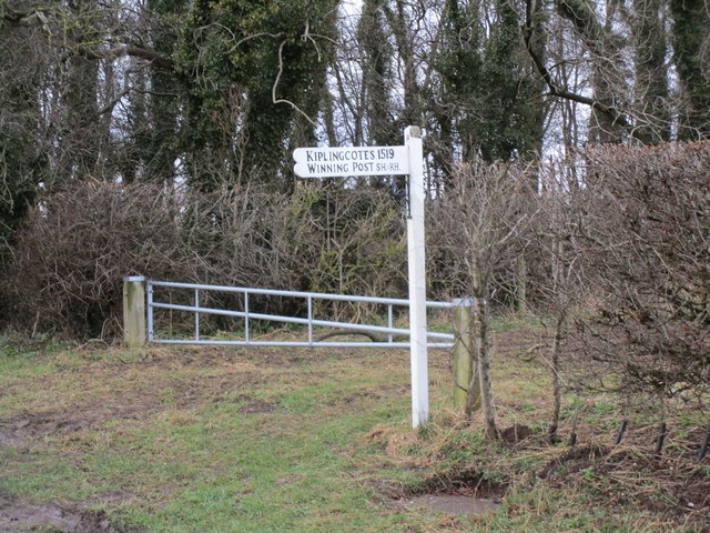
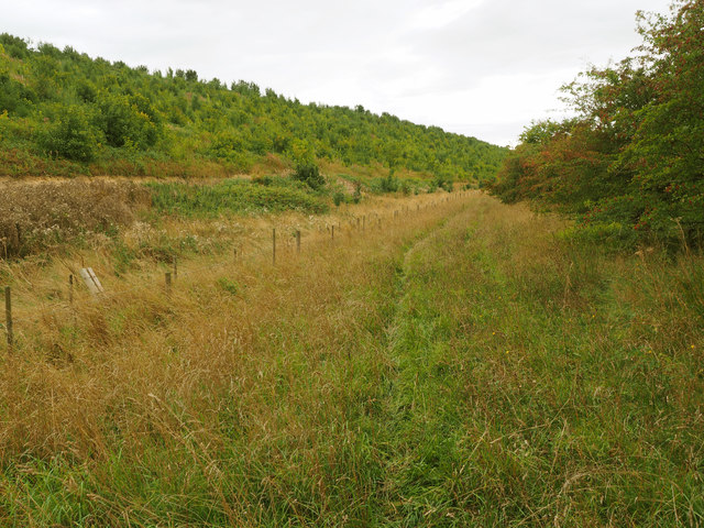
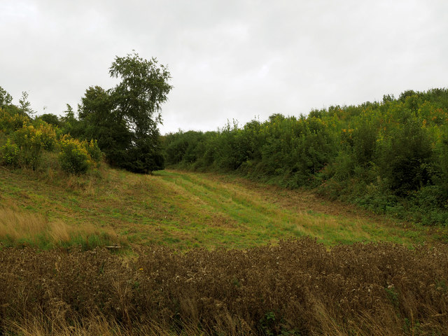
Loaningdale Bottom Images
Images are sourced within 2km of 53.921601/-0.65037784 or Grid Reference SE8848. Thanks to Geograph Open Source API. All images are credited.


Loaningdale Bottom is located at Grid Ref: SE8848 (Lat: 53.921601, Lng: -0.65037784)
Division: East Riding
Unitary Authority: East Riding of Yorkshire
Police Authority: Humberside
What 3 Words
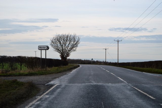
///rocky.tungsten.initial. Near Londesborough, East Yorkshire
Nearby Locations
Related Wikis
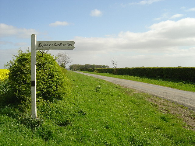
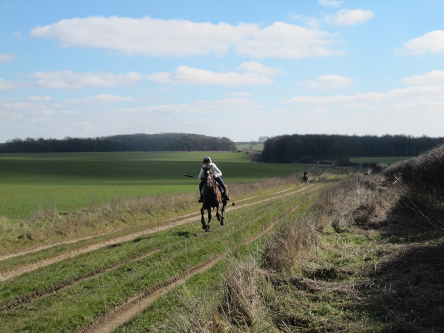
Kiplingcotes Derby
Kiplingcotes Derby (also spelt Kipling Cotes), run at Kiplingcotes in the East Riding of Yorkshire, is widely accepted to be the oldest annual horse race...

Bigger Trees Near Warter
Bigger Trees Near Warter or ou Peinture en Plein Air pour l'age Post-Photographique is a large landscape painting by British artist David Hockney. Measuring...

Middlethorpe, East Riding of Yorkshire
Middlethorpe is a hamlet in the East Riding of Yorkshire, England. It is situated approximately 2.5 miles (4 km) north-east of the market town of Market...

Londesborough Hall
Londesborough Hall is a country house in the village of Londesborough in the East Riding of Yorkshire, England, close to the towns of Market Weighton and...
Nearby Amenities
Located within 500m of 53.921601,-0.65037784Have you been to Loaningdale Bottom?
Leave your review of Loaningdale Bottom below (or comments, questions and feedback).