Nattley Griff
Valley in Yorkshire Ryedale
England
Nattley Griff
Nattley Griff is a small village nestled within Yorkshire Valley, an idyllic and picturesque location in the heart of Yorkshire, England. Located approximately 10 miles southwest of the bustling city of Leeds, this quaint village is known for its natural beauty, stunning landscapes, and rich history.
Surrounded by rolling hills and lush greenery, Nattley Griff offers a peaceful and tranquil setting for residents and visitors alike. The village is characterized by charming stone cottages, traditional architecture, and well-tended gardens. The local community takes pride in preserving its heritage, evident in the well-maintained historic buildings and traditional shops that line the main street.
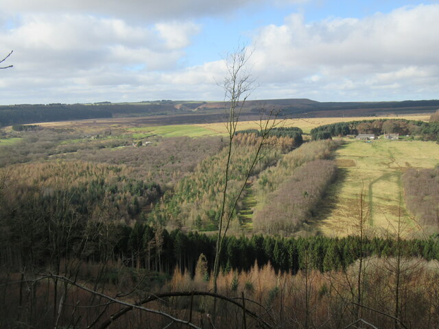
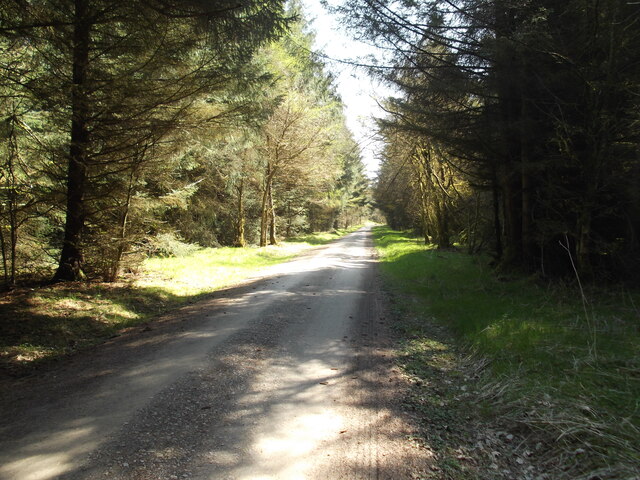
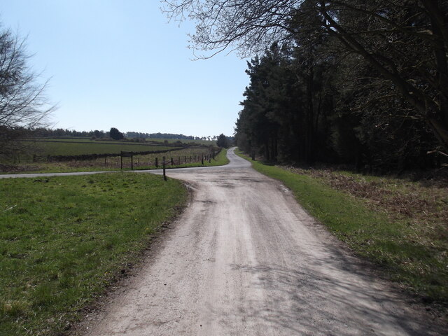
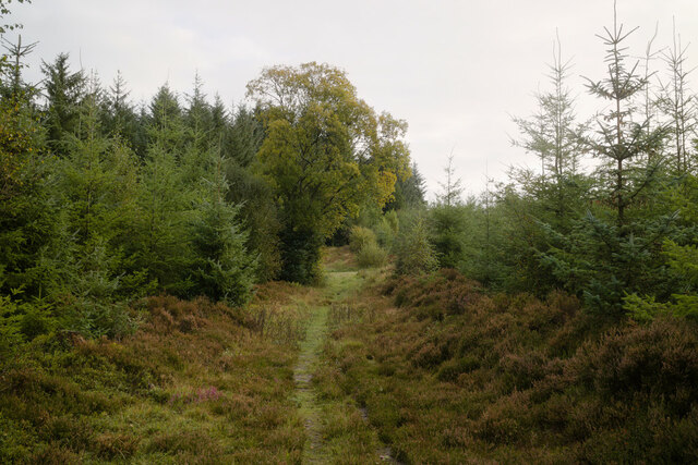
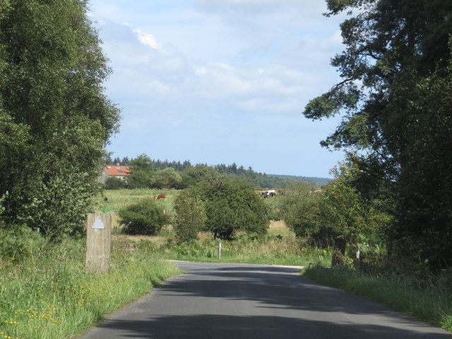
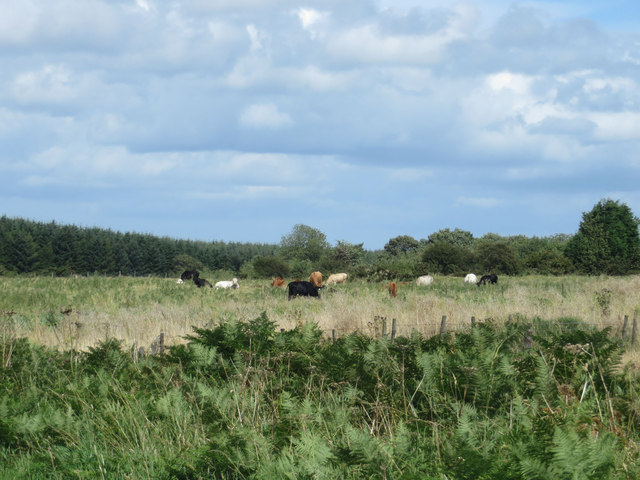
One of the main attractions in Nattley Griff is its stunning countryside, which provides ample opportunities for outdoor activities such as hiking, cycling, and horseback riding. The Yorkshire Valley, with its meandering river and unspoiled woodlands, offers a haven for nature enthusiasts and wildlife lovers.
In addition to its natural beauty, Nattley Griff is also home to some notable landmarks. The village church, dating back to the 12th century, stands as a testament to the area's long-standing religious heritage. There are also several historic manor houses and estates in the vicinity, showcasing the grandeur and elegance of Yorkshire's past.
Despite its small size, Nattley Griff boasts a strong sense of community, with regular events and gatherings organized by local residents. The village pub, a popular meeting spot for both locals and visitors, offers a friendly atmosphere and a chance to sample traditional Yorkshire cuisine and locally brewed ales.
Overall, Nattley Griff in Yorkshire Valley is a charming and picturesque village that offers a perfect blend of natural beauty, history, and community spirit.
If you have any feedback on the listing, please let us know in the comments section below.
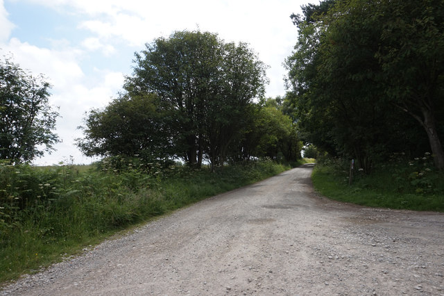
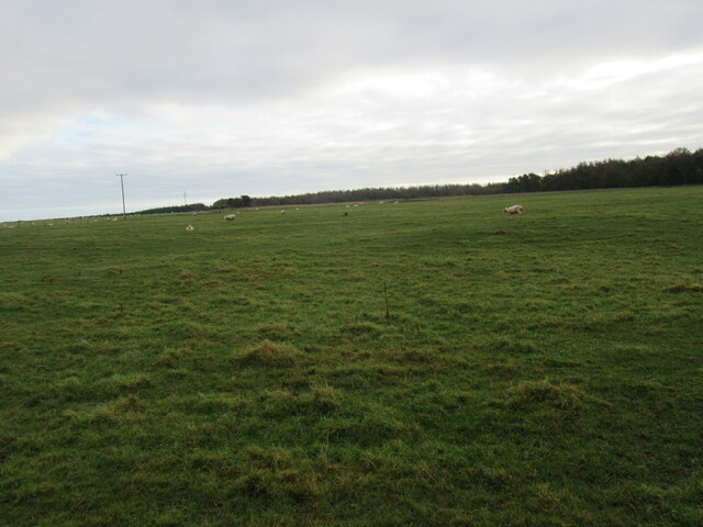
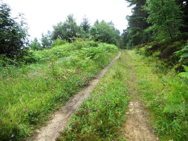
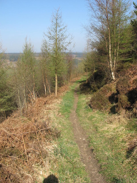
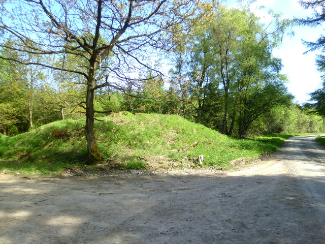
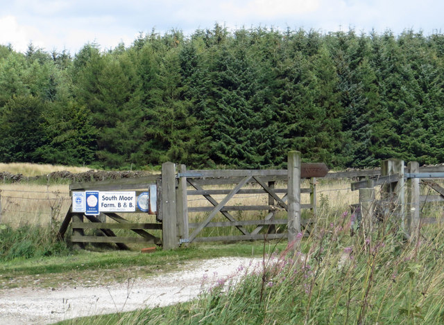
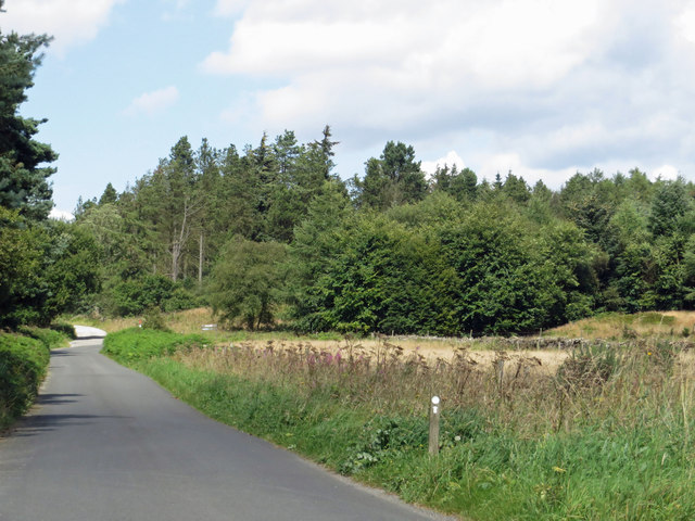
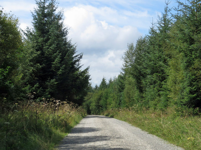
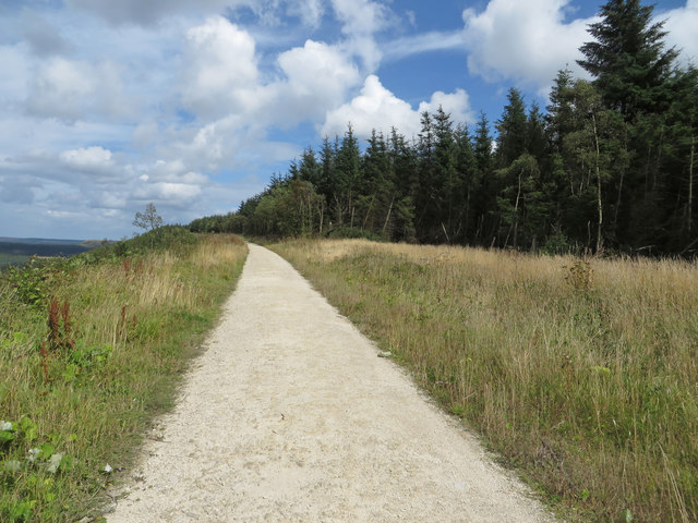
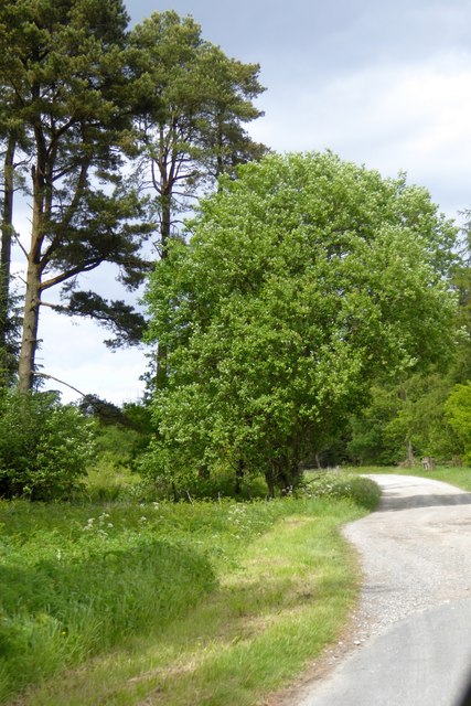
Nattley Griff Images
Images are sourced within 2km of 54.307072/-0.64005791 or Grid Reference SE8891. Thanks to Geograph Open Source API. All images are credited.


Nattley Griff is located at Grid Ref: SE8891 (Lat: 54.307072, Lng: -0.64005791)
Division: North Riding
Administrative County: North Yorkshire
District: Ryedale
Police Authority: North Yorkshire
What 3 Words
///withdrew.sprinkle.presenter. Near Thornton Dale, North Yorkshire
Nearby Locations
Related Wikis

Blakey Topping standing stones
Blakey Topping standing stones is a small group of standing stones near the Hole of Horcum in the North York Moors. It sits at the foot of Blakey Topping...

Dalby Forest
Dalby Forest is a forest located on the southern slopes of the North York Moors National Park in North Yorkshire, England. It is maintained by Forestry...

Langdale Forest
Langdale Forest is an area of primarily coniferous woodland at the southern end of the North York Moors National Park, in North Yorkshire, England. The...

Lockton
Lockton is a small village and civil parish in North Yorkshire, England. It is situated in the North York Moors about 4 miles (6.4 km) north-east of Pickering...
Related Videos

Walk The Ancient Bridestones In North Yorkshire
Dalby Forest bridestones circular walk is a beautiful place so relaxing and peaceful.

Blakey Topping & Newtondale, North York Moors - 18 August 2021
A 12 mile walk from Saltergate on the A169. The route heads east along Saltergate Brow to Malo Cross and then heads south to ...

4k The Bridestones Trail , Dalby Forest Yorkshire.
4k Bridestones Trail relaxing virtual walk with Spring birdsong no music. Join me on a May Spring walk through The Bridestones ...

150 Million yrs old Rock During Ice Age | Dalby Forest #beapick #shorts #dalbyforest
This Rock is beautiful and its calle The Bridestone at Dalby Forest. It was 150 Million years old during Ice Age.
Nearby Amenities
Located within 500m of 54.307072,-0.64005791Have you been to Nattley Griff?
Leave your review of Nattley Griff below (or comments, questions and feedback).