Minningdale Plantation
Wood, Forest in Yorkshire
England
Minningdale Plantation
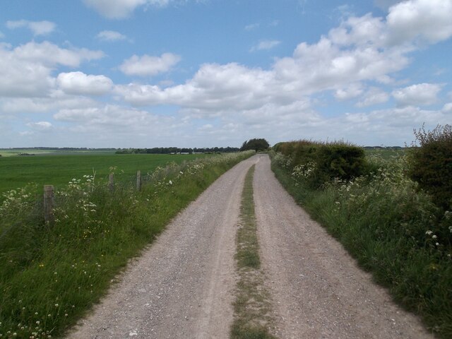
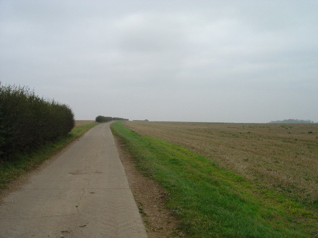
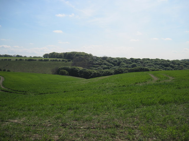
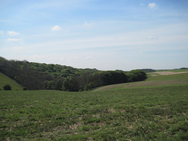
Minningdale Plantation is a picturesque woodland located in Yorkshire, England. Situated in the heart of the renowned North York Moors National Park, the plantation covers a vast area of approximately 100 hectares. It is predominantly composed of deciduous trees, including oak, beech, and birch, creating a beautiful and diverse forest landscape.
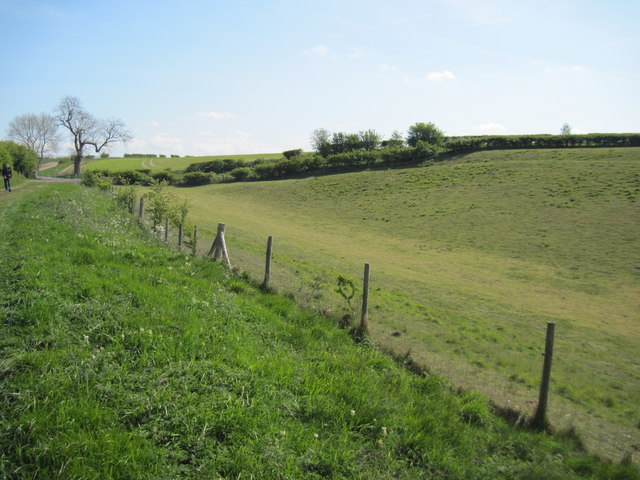
The plantation offers a tranquil escape for nature enthusiasts and hikers, with various walking trails leading through its stunning surroundings. Visitors can explore the plantation's well-maintained paths, taking in the sights and sounds of the wildlife that call this woodland home. The diverse range of flora and fauna found in Minningdale Plantation makes it an ideal destination for birdwatchers and botanists alike.
The woodland is also rich in history, with evidence of human habitation dating back to prehistoric times. Archaeological finds within the plantation include ancient burial mounds and remnants of a Roman settlement. These historical elements add a layer of fascination to the natural beauty of the area.
Minningdale Plantation is managed by the Yorkshire Forestry Commission, who ensure the preservation and conservation of the woodland. The plantation plays a vital role in carbon sequestration and contributes to the region's overall ecological balance.
Overall, Minningdale Plantation offers a captivating blend of natural beauty, historical significance, and recreational opportunities. Whether it be for a peaceful stroll, wildlife observation, or a journey into the past, this woodland gem in Yorkshire provides a truly enriching experience for visitors of all ages.
If you have any feedback on the listing, please let us know in the comments section below.
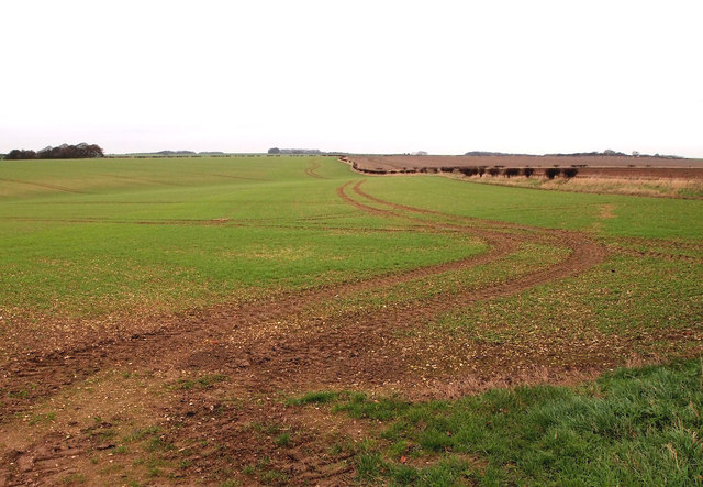
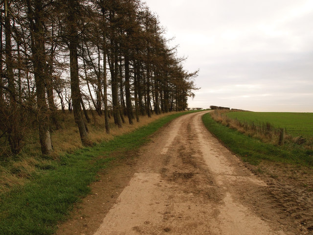
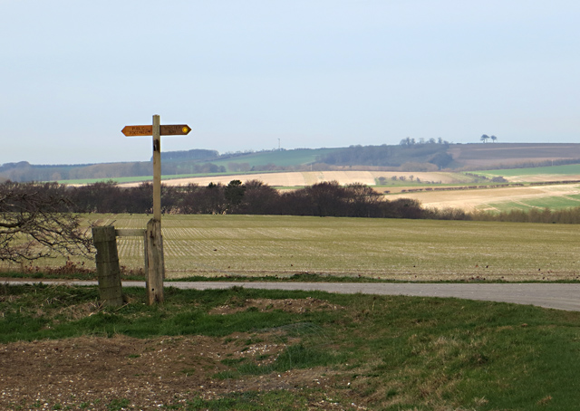
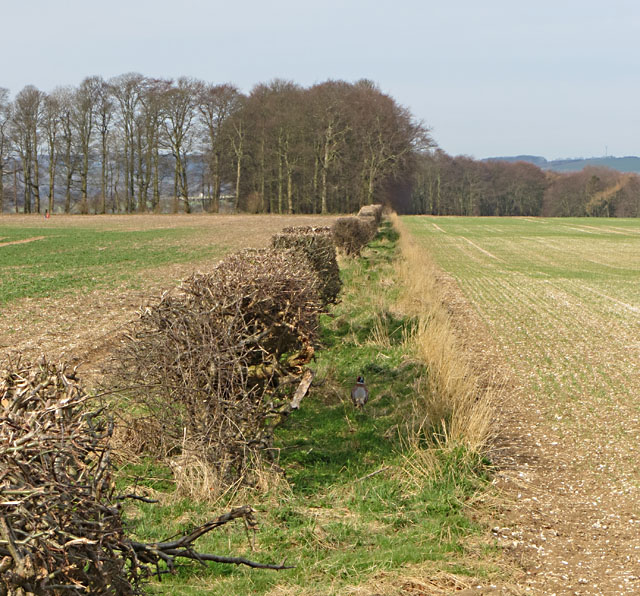
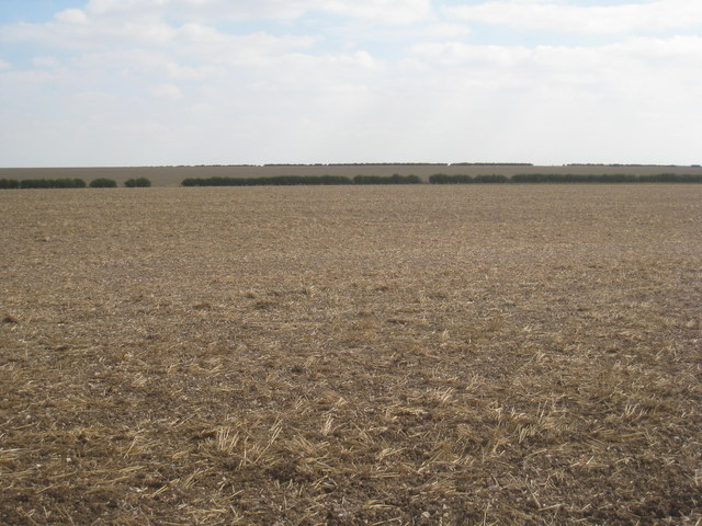
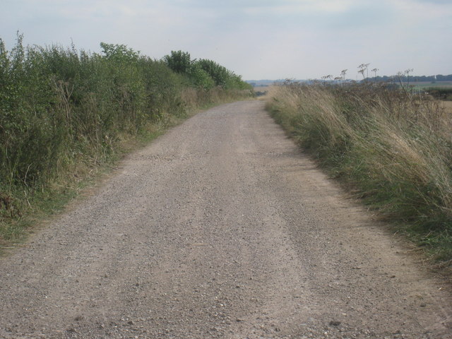
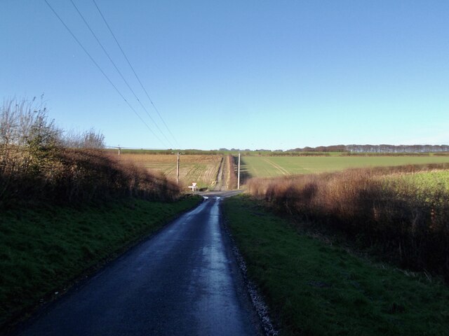
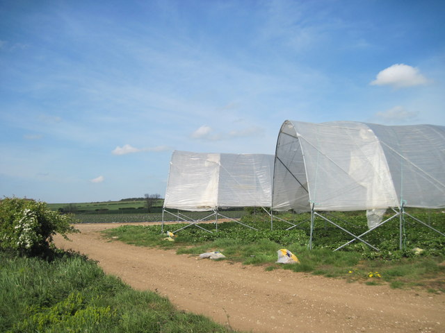
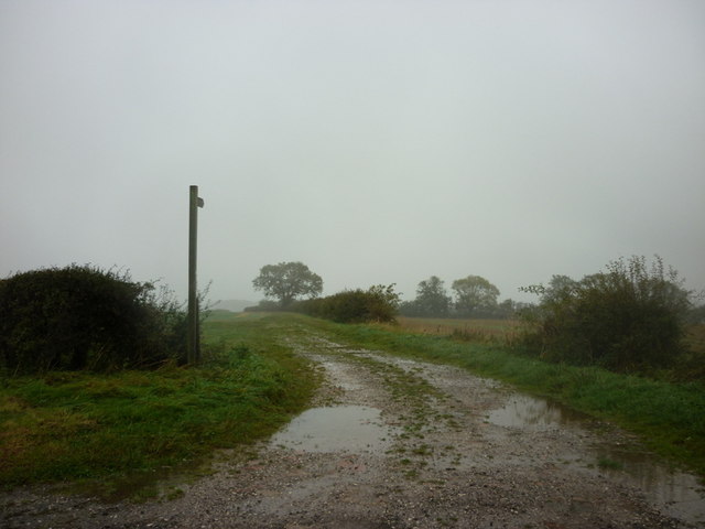
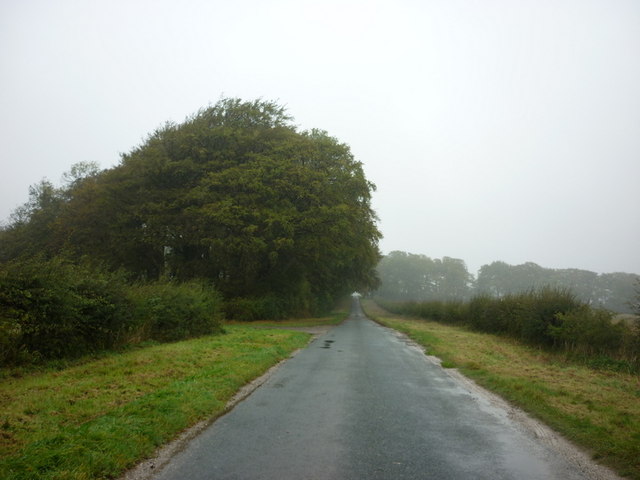
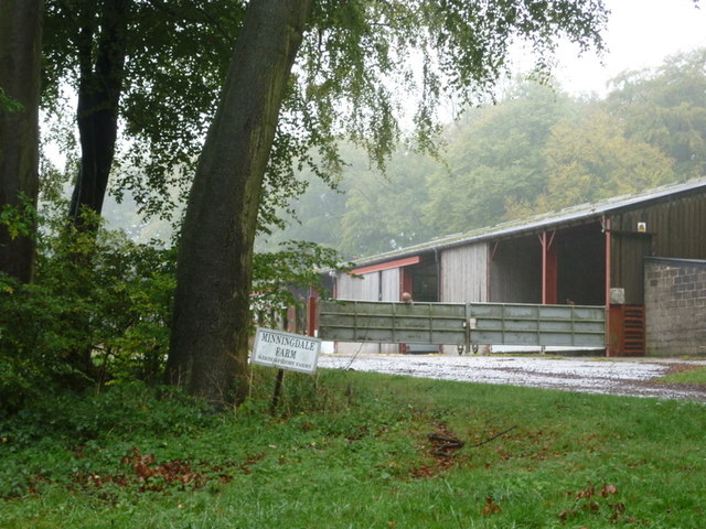
Minningdale Plantation Images
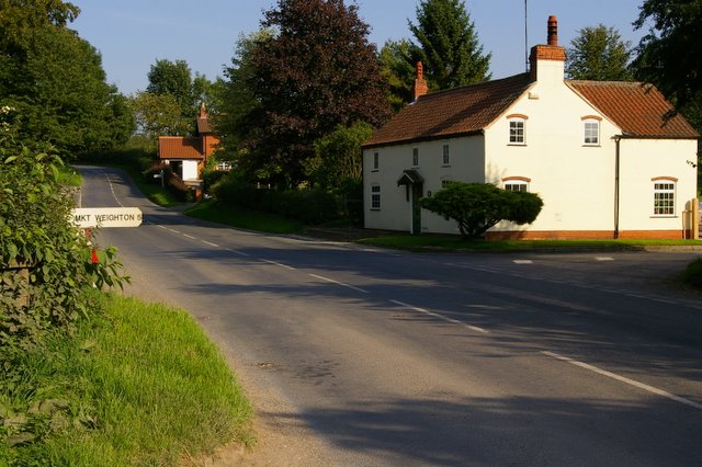
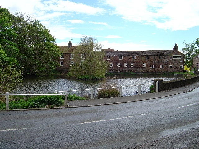
Images are sourced within 2km of 53.963719/-0.65263033 or Grid Reference SE8852. Thanks to Geograph Open Source API. All images are credited.


Minningdale Plantation is located at Grid Ref: SE8852 (Lat: 53.963719, Lng: -0.65263033)
Division: East Riding
Unitary Authority: East Riding of Yorkshire
Police Authority: Humberside
What 3 Words
///scenes.perkily.subtitle. Near Millington, East Yorkshire
Nearby Locations
Related Wikis

Huggate
Huggate is a village and civil parish in the East Riding of Yorkshire, England. It is situated approximately 13 miles (21 km) north-west of Beverley town...

St James' Church, Warter
St James’ Church lies in Warter, an estate village in England, in the Yorkshire Wolds, part of the East Riding of Yorkshire. == Origins and history... ==

Bigger Trees Near Warter
Bigger Trees Near Warter or ou Peinture en Plein Air pour l'age Post-Photographique is a large landscape painting by British artist David Hockney. Measuring...
Warter
Warter is a small village and civil parish in the East Riding of Yorkshire, England. It is situated approximately 4 miles (6.4 km) east of Pocklington...
Warter Priory
Warter Priory is an 11,000 acres (4,500 ha) country estate in the East Riding of Yorkshire Yorkshire Wolds, centred 1 mile (2 km) south-west of the village...
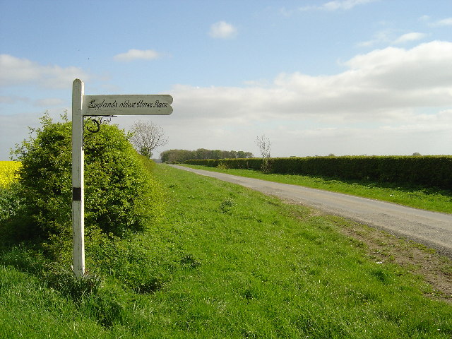
Kiplingcotes Derby
Kiplingcotes Derby (also spelt Kipling Cotes), run at Kiplingcotes in the East Riding of Yorkshire, is widely accepted to be the oldest annual horse race...
North Dalton
North Dalton is a village and civil parish in the East Riding of Yorkshire, England. It is situated approximately 6 miles (10 km) south-west of the town...
Nunburnholme Priory
Nunburnholme Priory was a priory of Benedictine nuns in the East Riding of Yorkshire, England. It was founded during the reign of Henry II of England by...
Nearby Amenities
Located within 500m of 53.963719,-0.65263033Have you been to Minningdale Plantation?
Leave your review of Minningdale Plantation below (or comments, questions and feedback).