Scatter Dale
Valley in Yorkshire
England
Scatter Dale
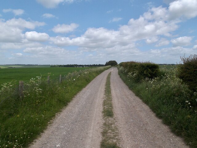
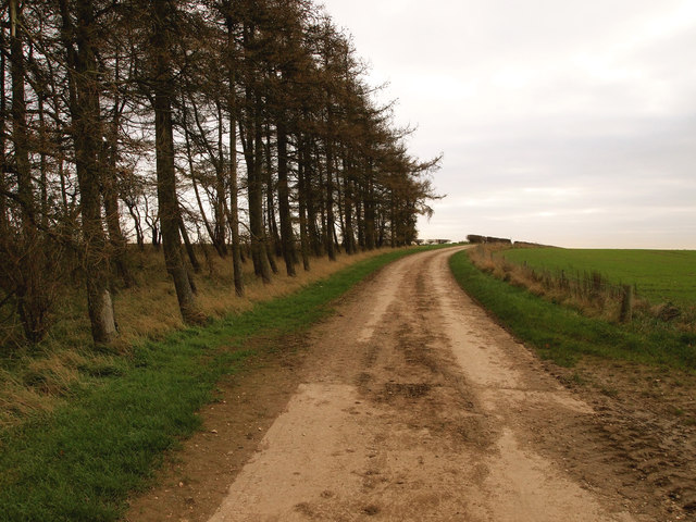
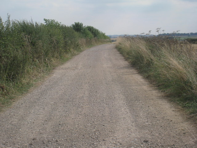
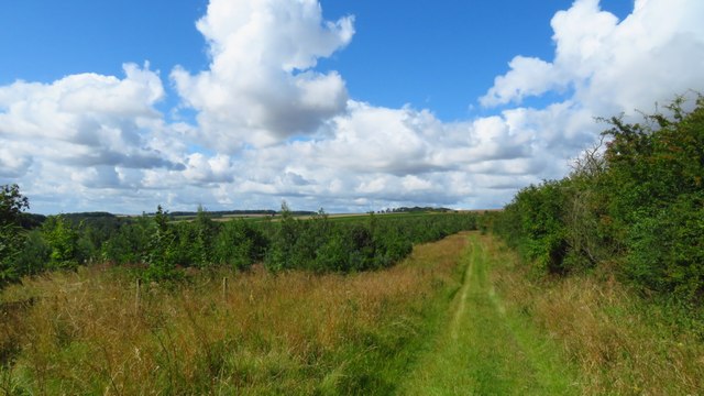
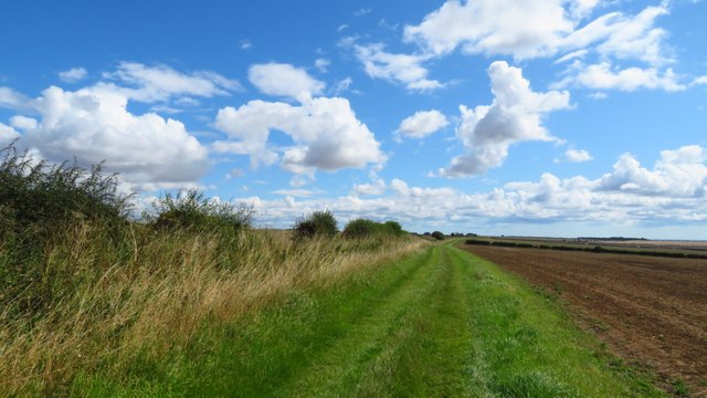
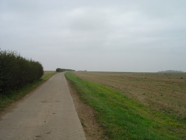
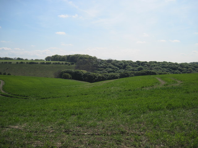
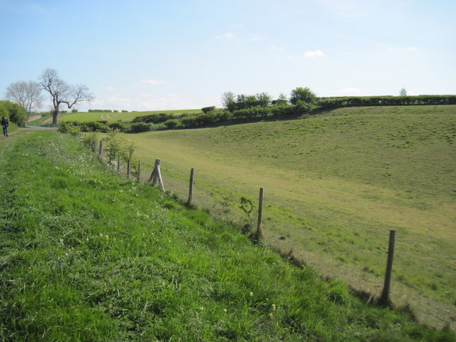
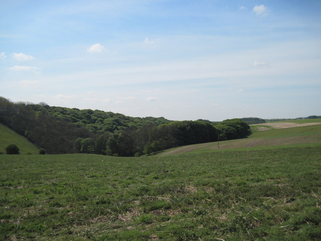
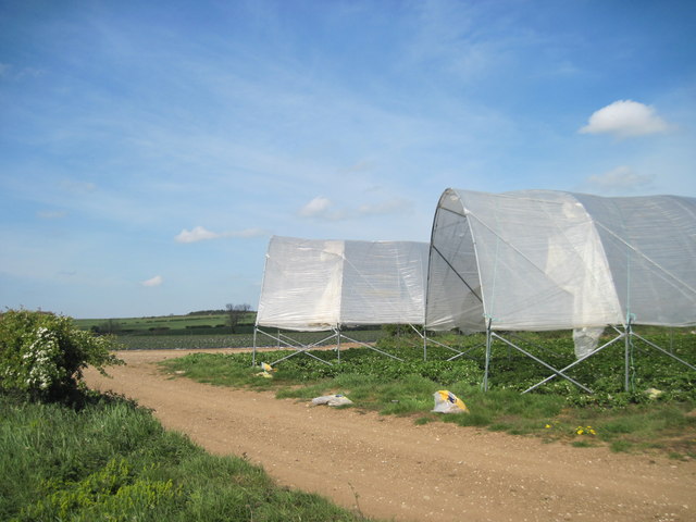
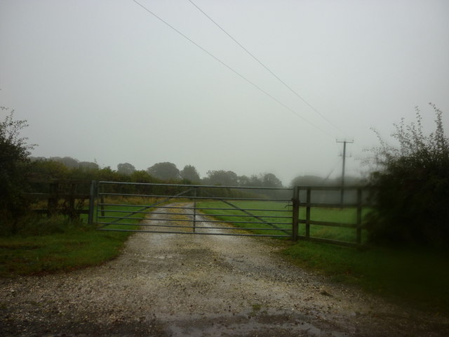
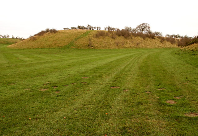
Scatter Dale is a picturesque valley located in the heart of Yorkshire, England. Nestled amidst rolling hills and lush green landscapes, it is renowned for its breathtaking natural beauty and tranquil atmosphere. The valley stretches for approximately 5 miles, with the charming village of Scatter Dale situated at its heart.
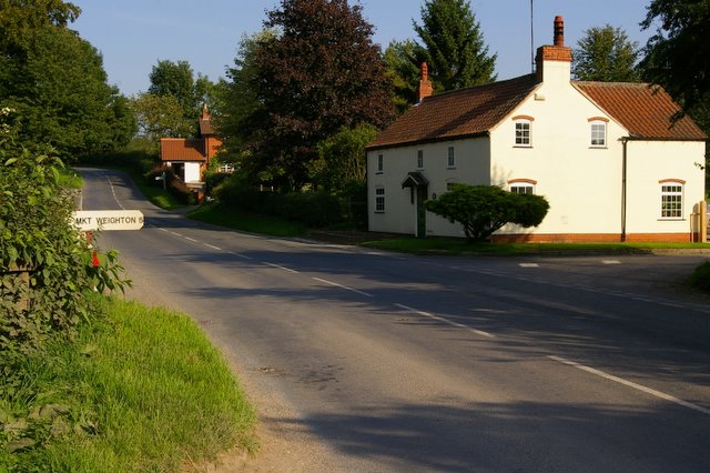
The village itself is small yet vibrant, with a close-knit community that prides itself on preserving the area's rich history and traditional way of life. Characterized by quaint stone cottages and well-manicured gardens, Scatter Dale exudes a timeless charm that captivates visitors from near and far.
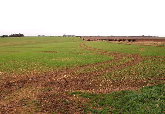
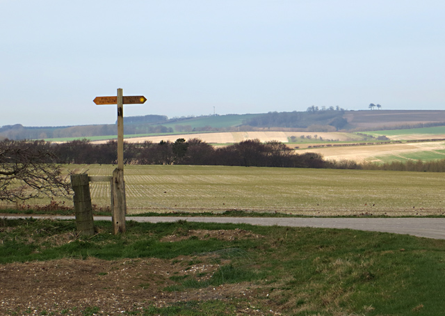
The valley is home to a diverse range of flora and fauna, with numerous walking trails and nature reserves allowing visitors to explore the area's natural wonders. From peaceful riverside strolls to challenging hikes up the surrounding hills, there is something for every outdoor enthusiast in Scatter Dale.
For history buffs, Scatter Dale boasts several historical landmarks, including an ancient church that dates back to the 12th century. The church's stunning architecture and well-preserved interior offer a glimpse into the region's rich past.
Additionally, the valley hosts an array of events throughout the year, including a popular summer fair and a festive Christmas market. These events provide an opportunity for both locals and tourists to come together and celebrate the vibrant community spirit that defines Scatter Dale.
Overall, Scatter Dale is a hidden gem in Yorkshire, offering visitors a chance to escape the hustle and bustle of modern life and immerse themselves in the beauty of nature and the warmth of a tight-knit community.
If you have any feedback on the listing, please let us know in the comments section below.
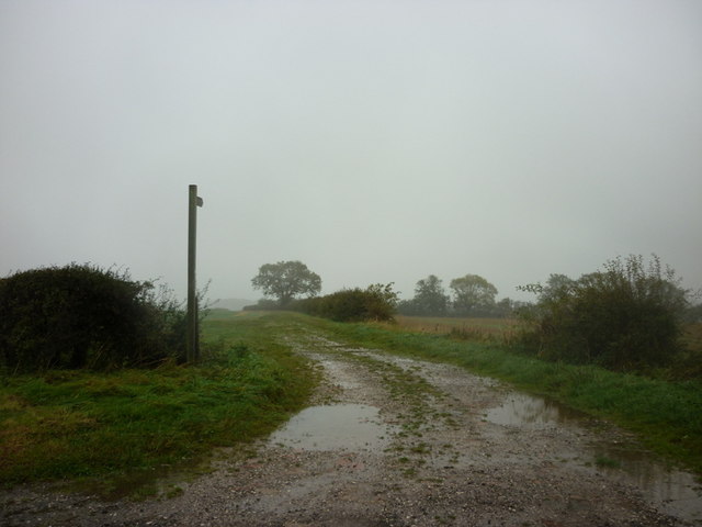
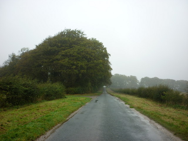
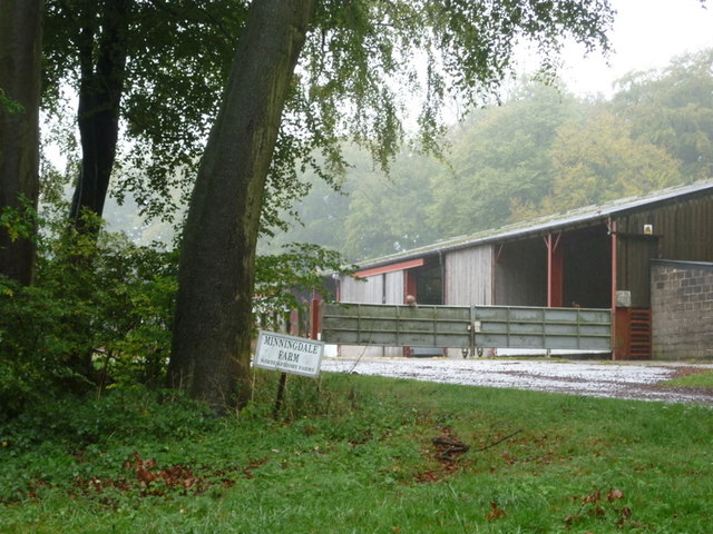
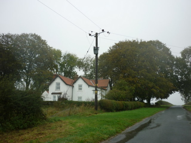
Scatter Dale Images
Images are sourced within 2km of 53.965454/-0.65661402 or Grid Reference SE8852. Thanks to Geograph Open Source API. All images are credited.
Scatter Dale is located at Grid Ref: SE8852 (Lat: 53.965454, Lng: -0.65661402)
Division: East Riding
Unitary Authority: East Riding of Yorkshire
Police Authority: Humberside
What 3 Words
///bogus.tugging.vote. Near Millington, East Yorkshire
Nearby Locations
Related Wikis

Huggate
Huggate is a village and civil parish in the East Riding of Yorkshire, England. It is situated approximately 13 miles (21 km) north-west of Beverley town...

St James' Church, Warter
St James’ Church lies in Warter, an estate village in England, in the Yorkshire Wolds, part of the East Riding of Yorkshire. == Origins and history... ==

Bigger Trees Near Warter
Bigger Trees Near Warter or ou Peinture en Plein Air pour l'age Post-Photographique is a large landscape painting by British artist David Hockney. Measuring...
Warter
Warter is a small village and civil parish in the East Riding of Yorkshire, England. It is situated approximately 4 miles (6.4 km) east of Pocklington...
Nearby Amenities
Located within 500m of 53.965454,-0.65661402Have you been to Scatter Dale?
Leave your review of Scatter Dale below (or comments, questions and feedback).