Keasey Plantation
Wood, Forest in Yorkshire
England
Keasey Plantation
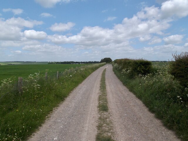
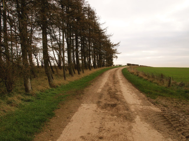
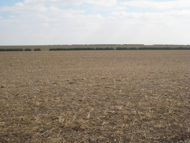
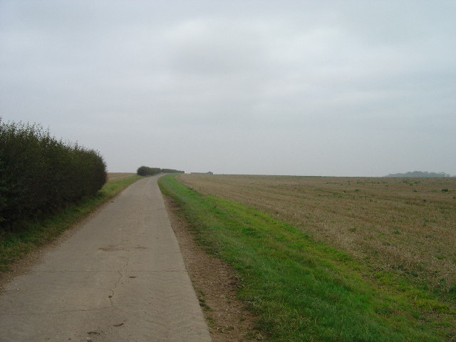
Keasey Plantation, nestled in the picturesque Yorkshire countryside, is a captivating destination that showcases the natural beauty of wood and forest landscapes. Located in the northern region of England, this plantation spans over 500 acres of land and is a haven for nature enthusiasts and outdoor adventurers alike.
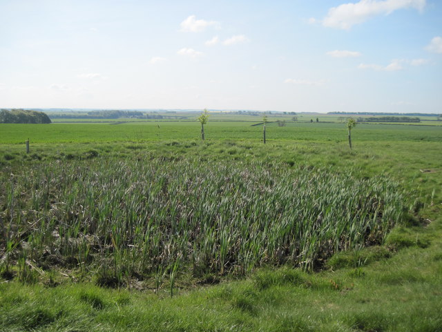
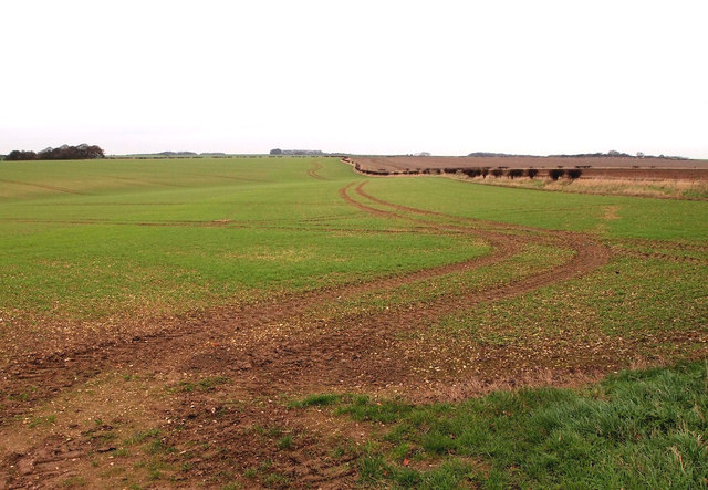
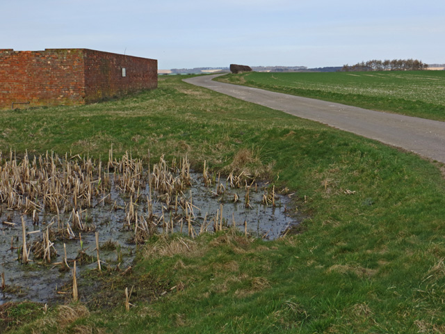
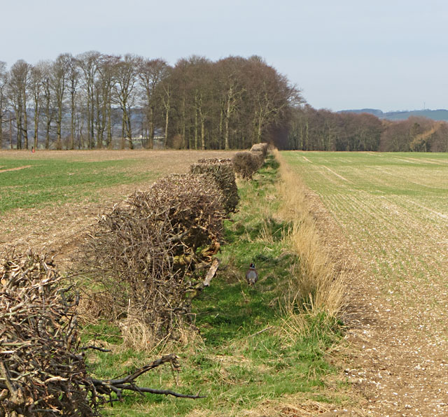
The plantation boasts a diverse ecosystem, consisting of dense woodlands, sprawling meadows, and enchanting forest trails. It is home to a wide variety of flora and fauna, including ancient oaks, towering pines, and vibrant wildflowers that add a splash of color to the landscape. The plantation's rich biodiversity attracts numerous bird species, making it a popular spot for birdwatching enthusiasts.
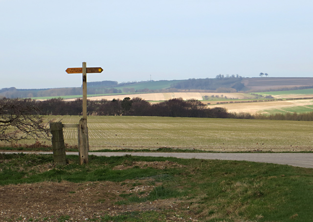
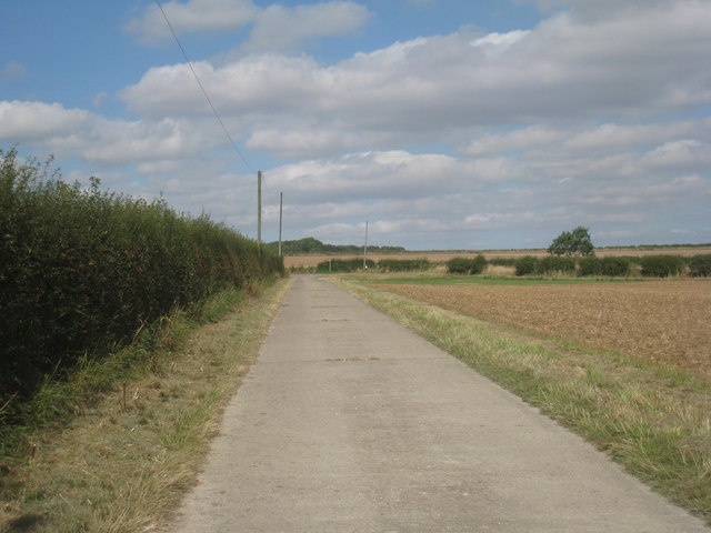
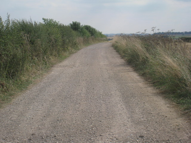
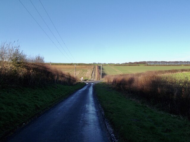
Visitors can explore the plantation's extensive network of walking and cycling trails, offering opportunities to immerse themselves in the tranquil surroundings. The trails lead to hidden gems such as tranquil ponds, babbling brooks, and secret clearings where one can unwind and connect with nature.
Keasey Plantation is not only a haven for wildlife but also a place of historical significance. The site has a rich heritage dating back centuries, with remnants of ancient settlements and archaeological sites scattered throughout. History buffs can delve into the past and uncover the plantation's intriguing stories through guided tours and informative displays.
Whether it's a leisurely stroll, an adventurous hike, or an educational excursion, Keasey Plantation offers a diverse range of activities for visitors to enjoy. Its serene ambiance, picturesque landscapes, and rich natural and historical heritage make it a must-visit destination for those seeking a retreat from the hustle and bustle of everyday life.
If you have any feedback on the listing, please let us know in the comments section below.
Keasey Plantation Images
Images are sourced within 2km of 53.965223/-0.64884712 or Grid Reference SE8852. Thanks to Geograph Open Source API. All images are credited.


Keasey Plantation is located at Grid Ref: SE8852 (Lat: 53.965223, Lng: -0.64884712)
Division: East Riding
Unitary Authority: East Riding of Yorkshire
Police Authority: Humberside
What 3 Words
///movie.comb.ramps. Near Millington, East Yorkshire
Nearby Locations
Related Wikis

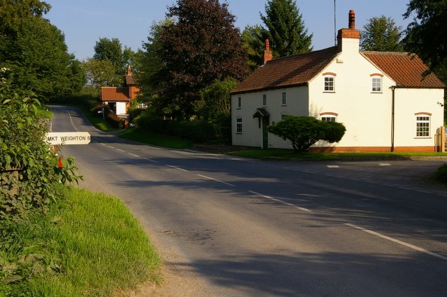
Huggate
Huggate is a village and civil parish in the East Riding of Yorkshire, England. It is situated approximately 13 miles (21 km) north-west of Beverley town...

Bigger Trees Near Warter
Bigger Trees Near Warter or ou Peinture en Plein Air pour l'age Post-Photographique is a large landscape painting by British artist David Hockney. Measuring...

St James' Church, Warter
St James’ Church lies in Warter, an estate village in England, in the Yorkshire Wolds, part of the East Riding of Yorkshire. == Origins and history... ==
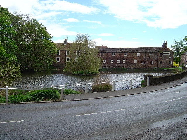
Warter
Warter is a small village and civil parish in the East Riding of Yorkshire, England. It is situated approximately 4 miles (6.4 km) east of Pocklington...
North Dalton
North Dalton is a village and civil parish in the East Riding of Yorkshire, England. It is situated approximately 6 miles (10 km) south-west of the town...
Warter Priory
Warter Priory is an 11,000 acres (4,500 ha) country estate in the East Riding of Yorkshire Yorkshire Wolds, centred 1 mile (2 km) south-west of the village...
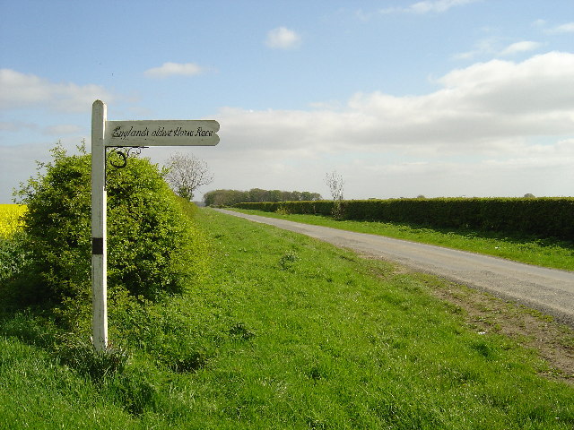
Kiplingcotes Derby
Kiplingcotes Derby (also spelt Kipling Cotes), run at Kiplingcotes in the East Riding of Yorkshire, is widely accepted to be the oldest annual horse race...
Nunburnholme Priory
Nunburnholme Priory was a priory of Benedictine nuns in the East Riding of Yorkshire, England. It was founded during the reign of Henry II of England by...
Nearby Amenities
Located within 500m of 53.965223,-0.64884712Have you been to Keasey Plantation?
Leave your review of Keasey Plantation below (or comments, questions and feedback).