Porridge Bottom

Valley in Berkshire

England

Porridge Bottom

Fleethill Gravel Pit near Yateley The conveyer which runs under the B3016 to the processing plant at Manor Farm, a distance of 1.3Km
Fleethill Gravel Pit near Yateley Credit: Alan Hunt

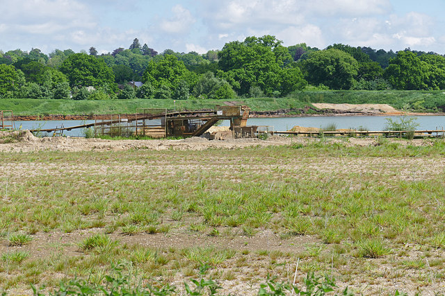
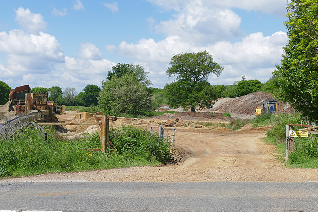
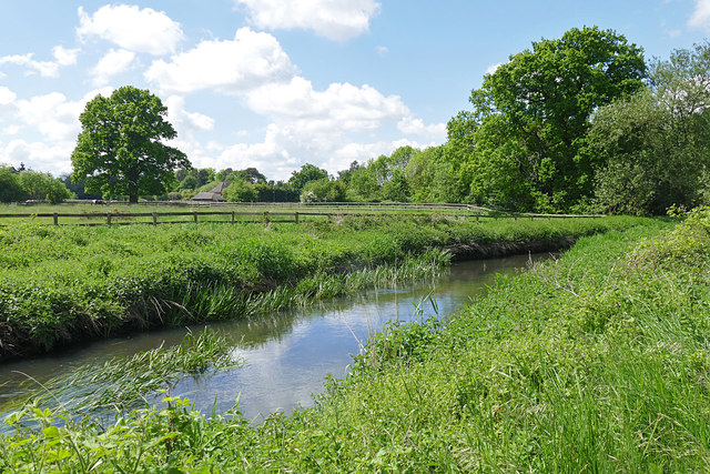
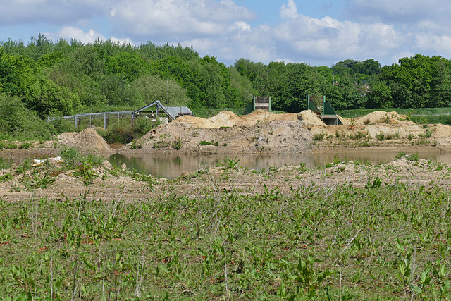
Porridge Bottom is a picturesque valley located in the county of Berkshire, England. Situated near the village of Lambourn, it is known for its stunning natural beauty and tranquil atmosphere. The valley stretches for approximately two miles, nestled between rolling hills and green landscapes.

The name "Porridge Bottom" is said to have originated from the local dialect, as the valley was once known for its fertile soil ideal for growing oats, a key ingredient of porridge. The area has a rich history, with evidence of human habitation dating back to the Neolithic period. Archaeological discoveries, including pottery and tools, have been made in and around the valley.

Today, Porridge Bottom is a popular destination for nature lovers and outdoor enthusiasts. The valley is home to a diverse range of flora and fauna, including wildflowers, birds, and small mammals. It offers several walking trails, allowing visitors to explore its beauty at their own pace.

The valley is also famous for its equestrian connections, being located in the heart of the Lambourn Valley, which is often referred to as the "Valley of the Racehorse." Many horse training stables are found in the area, and the valley provides an idyllic backdrop for horse enthusiasts and racing enthusiasts alike.

Overall, Porridge Bottom, Berkshire is a peaceful and scenic valley, offering a blend of natural beauty, historical significance, and equestrian culture. It is a place that truly captures the essence of the English countryside.

If you have any feedback on the listing, please let us know in the comments section below.

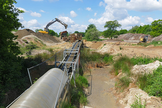
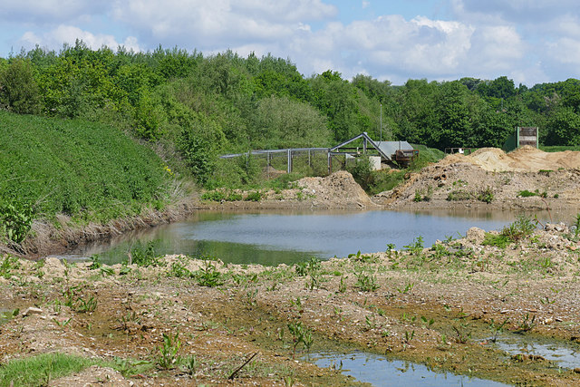
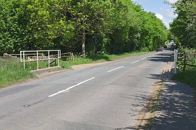
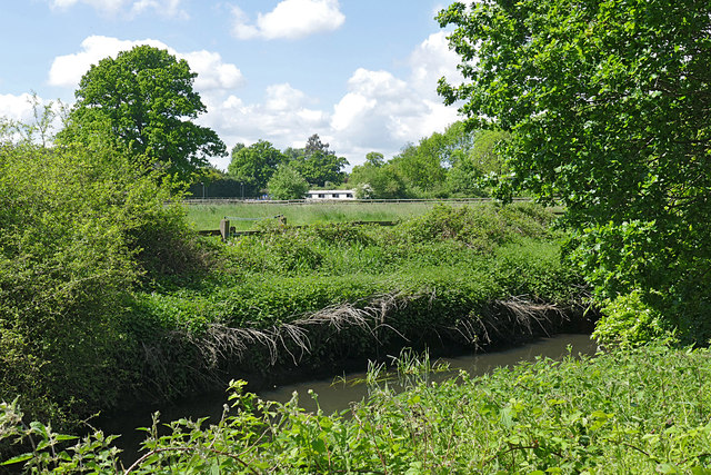
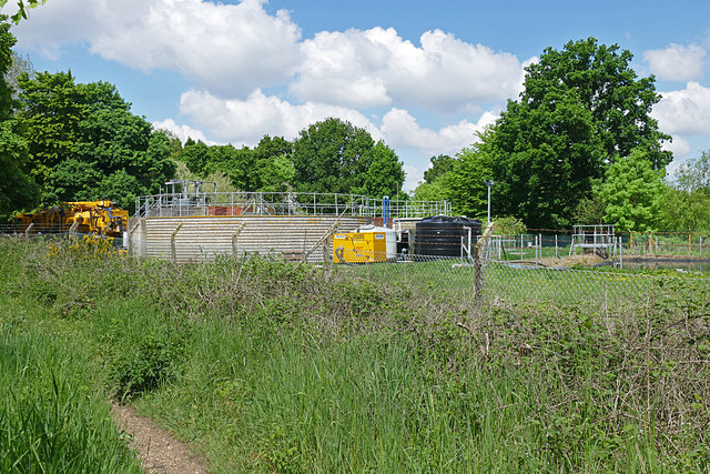
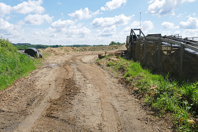
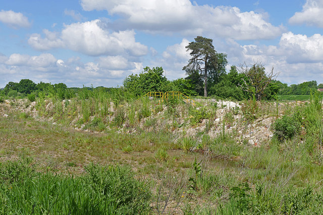
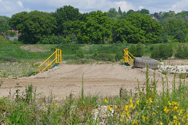
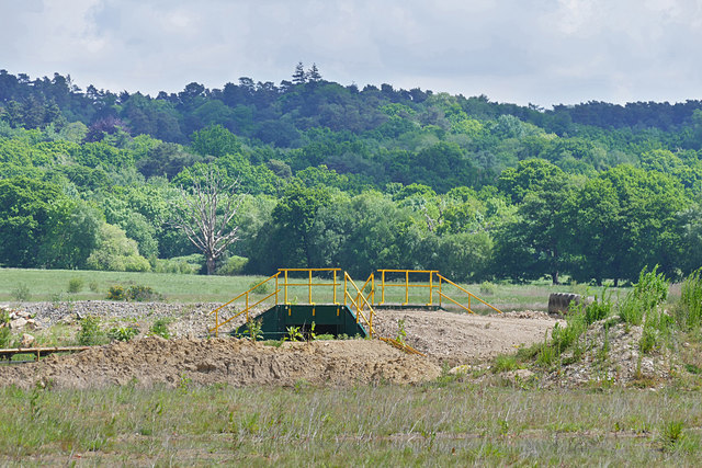
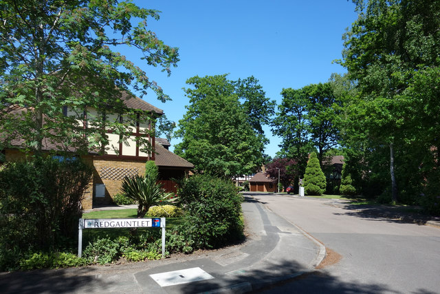
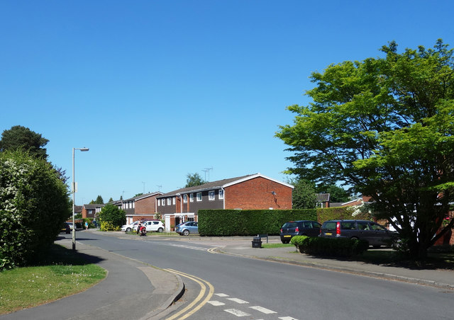
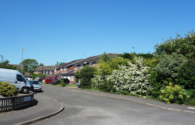
Porridge Bottom Images

Images are sourced within 2km of 51.365111/-0.84495542 or Grid Reference SU8063. Thanks to Geograph Open Source API. All images are credited.

Fleethill Gravel Pit near Yateley The conveyer which runs under the B3016 to the processing plant at Manor Farm, a distance of 1.3Km
Fleethill Gravel Pit near Yateley
The conveyer which runs under the B3016 to the processing plant at Manor Farm, a distance of 1.3Km
Manor Farm gravel pit near Yateley The western end of the pit near the B3016. The pond was once part of a much larger lake which has been infilled. This area is designated to become a nature reserve once operations have ceased, possibly passing to the RSPB.
Manor Farm gravel pit near Yateley
The western end of the pit near the B3016. The pond was once part of a much larger lake which has been infilled. This area is designated to become a nature reserve once operations have ceased, possibly passing to the RSPB.
B3016, Longwater Road The road running from Eversley Cross to Finchampstead. The bridge is an underpass for the mineral conveyor belt from the Fleethill gravel pit on the left to the Manor Farm processing plant south of the River Blackwater.
B3016, Longwater Road
The road running from Eversley Cross to Finchampstead. The bridge is an underpass for the mineral conveyor belt from the Fleethill gravel pit on the left to the Manor Farm processing plant south of the River Blackwater.
River Blackwater near Eversley Cross The view across the Blackwater towards the farmland near Eversley Cross.
River Blackwater near Eversley Cross
The view across the Blackwater towards the farmland near Eversley Cross.
Sewage works near Eversley Cross The filter beds of this small sewage farm off the B3016 near Eversley Cross.
Sewage works near Eversley Cross
The filter beds of this small sewage farm off the B3016 near Eversley Cross.
Manor Farm gravel pit The entrance to Manor Farm gravel pit off the B3016. The conveyor belt running across the site is on the right.
Manor Farm gravel pit
The entrance to Manor Farm gravel pit off the B3016. The conveyor belt running across the site is on the right.
Manor Farm gravel pit The dried up lake bed along the Blackwater Valley path which runs across the site following the course of the river. Large flocks of finches frequent these beds.
Manor Farm gravel pit
The dried up lake bed along the Blackwater Valley path which runs across the site following the course of the river. Large flocks of finches frequent these beds.
Bridge, Manor Farm A vehicle bridge over the mineral conveyor belt in the Manor Farm gravel pit near Yateley.
Bridge, Manor Farm
A vehicle bridge over the mineral conveyor belt in the Manor Farm gravel pit near Yateley.
Manor Farm gravel pit A transfer station where the mineral conveyor belt takes a change of direction. The conveyor which runs for 1.3Km has a number of transfer stations along its length.
Manor Farm gravel pit
A transfer station where the mineral conveyor belt takes a change of direction. The conveyor which runs for 1.3Km has a number of transfer stations along its length.
Fleethill Farm gravel pit entrance The entrance to the Fleethill Farm gravel pit off the B3016 near Finchampstead.
Fleethill Farm gravel pit entrance
The entrance to the Fleethill Farm gravel pit off the B3016 near Finchampstead.
River Blackwater, Eversley Cross Looking across the Blackwater towards one of the houses on the B3016 in Eversley Cross.
River Blackwater, Eversley Cross
Looking across the Blackwater towards one of the houses on the B3016 in Eversley Cross.
Manor Farm gravel pit The west end of the gravel pits with a vehicle bridge over the conveyor belt and a belt transfer station to the left where the belt changes direction.
Manor Farm gravel pit
The west end of the gravel pits with a vehicle bridge over the conveyor belt and a belt transfer station to the left where the belt changes direction.
View towards Finchampstead Ridges Looking across the workings of Manor Farm gravel pit towards the wooded heights of Finchampstead Ridges.
View towards Finchampstead Ridges
Looking across the workings of Manor Farm gravel pit towards the wooded heights of Finchampstead Ridges.
Redgauntlet, Finchampstead In the heart of the leafy outskirts of Wokingham there is a street called Redgauntlet. I wonder why?
It's not like we're on the Novels Estate or anything, with Wuthering Heights over the road and Lorna Doone first on the left. Redgauntlet is off Manor Park Drive which couldn't sound more residential.
Sir Walter Scott's tale of kidnap and Jacobite plotting seems a world away from life in  the commuter belt, but you never know........
Redgauntlet, Finchampstead
In the heart of the leafy outskirts of Wokingham there is a street called Redgauntlet. I wonder why? It's not like we're on the Novels Estate or anything, with Wuthering Heights over the road and Lorna Doone first on the left. Redgauntlet is off Manor Park Drive which couldn't sound more residential. Sir Walter Scott's tale of kidnap and Jacobite plotting seems a world away from life in the commuter belt, but you never know........
Gorse Ride North, Finchampstead A road name recalling the heath and woodland which was here before all the houses were built.
Gorse Ride North, Finchampstead
A road name recalling the heath and woodland which was here before all the houses were built.
Gibbs Close, Finchampstead
Petrol station on The Village, Finchampstead
Lower Sandhurst Road, Finchampstead
Show me another place!

Porridge Bottom is located at Grid Ref: SU8063 (Lat: 51.365111, Lng: -0.84495542)

Unitary Authority: Wokingham

Police Authority: Thames Valley

What 3 Words

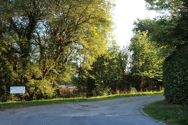
///roaming.pads.spruced. Near Finchampstead, Berkshire

Related Wikis

Finchampstead F.C.

Finchampstead Football Club is a football club based in Finchampstead, Berkshire, England. They are currently members of the Thames Valley Premier League...

Finchampstead

Finchampstead is a village and civil parish in the Wokingham Borough in the shire of Berkshire, England. Its northern extremity is 2 miles (3 km) south...

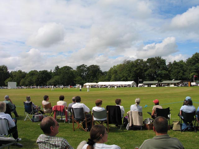
Memorial Ground, Finchampstead

The Memorial Ground (also known as Finchampstead Park) is a cricket ground in Finchampstead, Berkshire, England. The ground is located at the northern...

Eversley & California F.C.

Eversley & California Football Club is a football club based in Eversley, Hampshire, England. They are currently members of the Combined Counties League...

Crowthorne railway station

Crowthorne railway station is a railway station in the village of Crowthorne in Berkshire, England. The station is managed by Great Western Railway, who...

Eversley Cross

Eversley Cross is a village in the eastern corner of the Eversley parish in the Hart District of Hampshire, England. It is in the civil parish of Eversley...

East Berkshire Golf Club

East Berkshire Golf Club is a golf club, located in Crowthorne, Berkshire, England. It was established in 1903. The course was designed by Peter Paxton...

Ambarrow Court

Ambarrow Court is a 7.8-hectare (19-acre) Local Nature Reserve in Little Sandhurst in Berkshire. It is owned and managed by Bracknell Forest Borough Council...

Nearby Amenities

Located within 500m of 51.365111,-0.84495542
Parking
Parking: street_side
Lat/Long: 51.3644992/-0.8390606
Post Box
Mapillary: 469286304130579
Operator: Royal Mail
Post Box Mounting: pier
Post Box Type: lamp
Survey Date: 2020-10-17
Lat/Long: 51.3651933/-0.8405505
Bench
Backrest: no
Lat/Long: 51.363779/-0.8384779
North Court Farm
Landuse: farm
Note Retag: CS #48756035
Source: OS_OpenData_StreetView
Lat/Long: 51.367695/-0.8499704
Bench
Backrest: no
Lat/Long: 51.3631167/-0.8392117
Give Way
Lat/Long: 51.3657721/-0.850373
Direction: 180
Generator Method: photovoltaic
Generator Output Electricity: yes
Generator Solar Modules: 24
Generator Source: solar
Generator Type: solar_photovoltaic_panel
Location: roof
Power: generator
Lat/Long: 51.3638466/-0.8485107
Direction: 150
Generator Method: photovoltaic
Generator Output Electricity: yes
Generator Solar Modules: 39
Generator Source: solar
Generator Type: solar_photovoltaic_panel
Location: roof
Power: generator
Lat/Long: 51.3647535/-0.8491646
Board Type: sport
Information: board
Tourism: information
Lat/Long: 51.3644824/-0.8391246
Bench
Backrest: no
Lat/Long: 51.3644726/-0.8392568
Bench
Backrest: no
Lat/Long: 51.3642182/-0.838953
Board Type: history
Information: board
Tourism: information
Lat/Long: 51.3632987/-0.8392342
Board Type: plants
Information: board
Tourism: information
Lat/Long: 51.3638403/-0.8384727
Bench
Backrest: no
Lat/Long: 51.363015/-0.8393177
The data included in this document is from www.openstreetmap.org. The data is made available under ODbL.

Have you been to Porridge Bottom?

Leave your review of Porridge Bottom below (or comments, questions and feedback).