Spout Pond

Lake, Pool, Pond, Freshwater Marsh in Berkshire

England

Spout Pond

Finchampstead Memorial Hall Finchampstead's Village Hall was built in 1960.
Finchampstead Memorial Hall Credit: Des Blenkinsopp

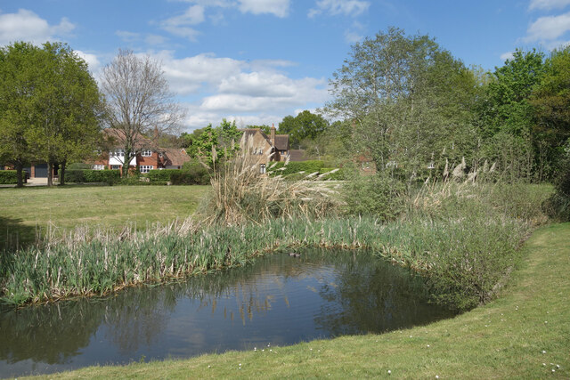
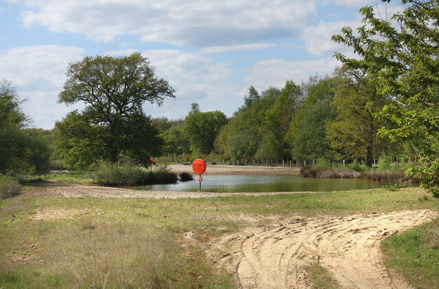
Spout Pond is a picturesque freshwater pond located in Berkshire, England. Situated amidst lush greenery and rolling hills, this natural water body is a popular destination for both locals and tourists seeking tranquility and natural beauty.

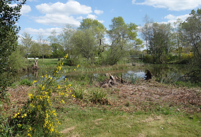
Covering an area of approximately 10 acres, Spout Pond offers a refreshing escape from the hustle and bustle of city life. The pond is surrounded by a dense forest of oak and beech trees, creating a serene ambiance and providing ample shade during hot summer days. The crystal-clear water reflects the surrounding landscape, making it a perfect spot for photography enthusiasts.

Spout Pond is home to a diverse range of aquatic flora and fauna. The pond is teeming with various fish species, including perch, roach, and carp, making it a popular spot for fishing enthusiasts. Birdwatchers can also enjoy spotting a variety of waterfowl and migratory birds that visit the pond throughout the year.

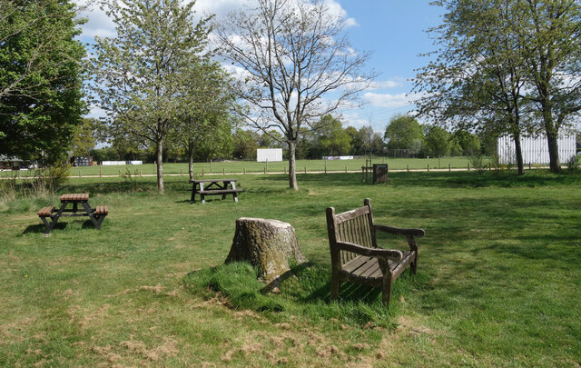
The pond has a gradual sloping shoreline, which makes it suitable for swimming and other water activities. Families often gather here during the summer months to enjoy a day out, picnicking on the grassy banks or relaxing under the shade of trees. The calm and peaceful atmosphere makes it an ideal place for nature lovers to unwind and connect with the natural world.

Overall, Spout Pond in Berkshire offers a serene and idyllic setting, providing visitors with an opportunity to immerse themselves in nature and experience the beauty of a freshwater ecosystem.

If you have any feedback on the listing, please let us know in the comments section below.
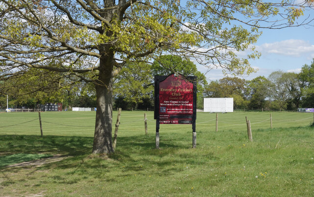
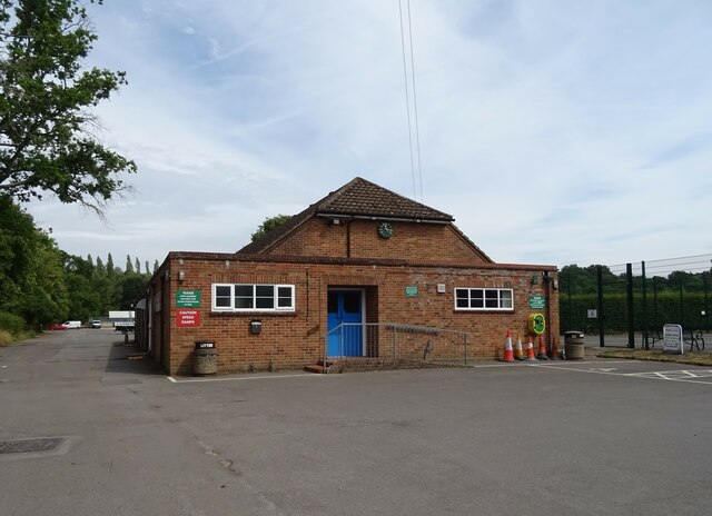
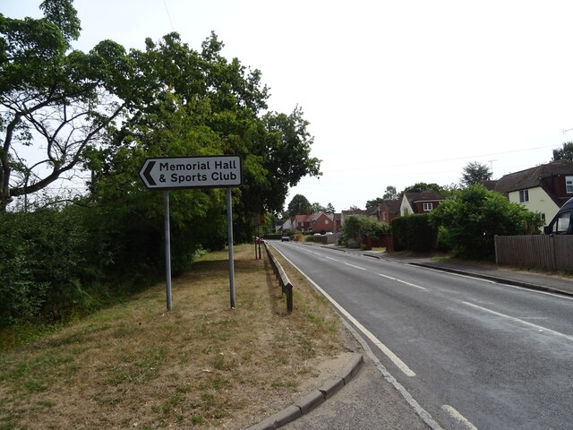
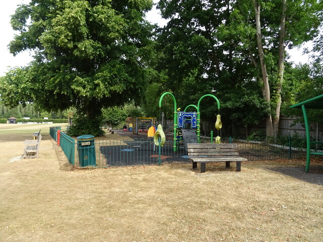
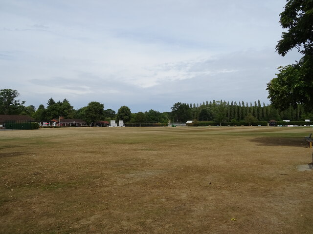
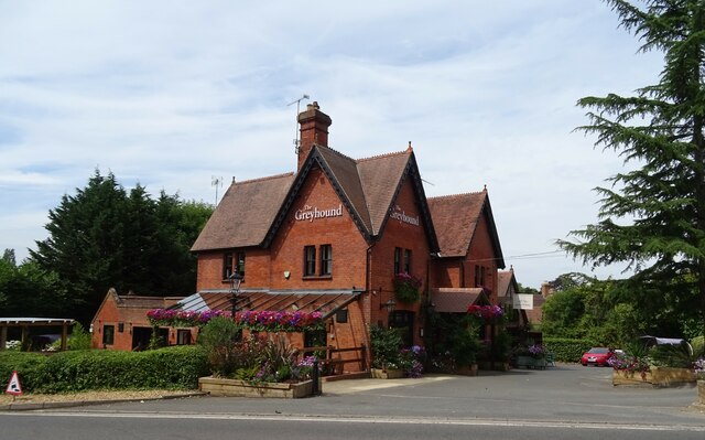
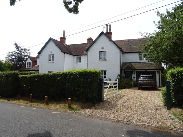
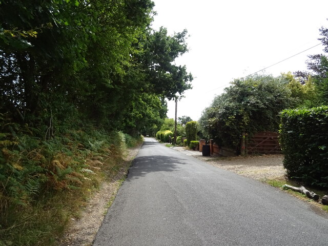
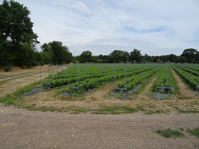
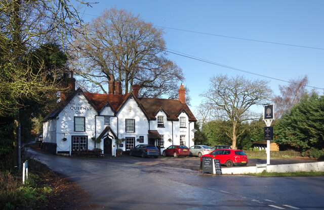
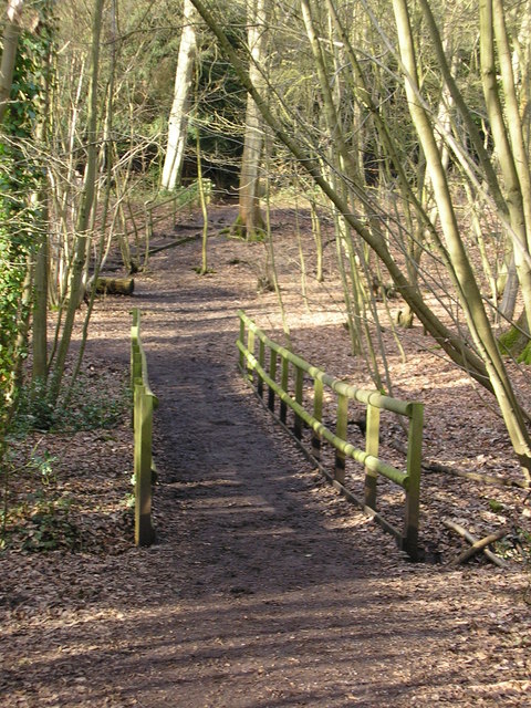
Spout Pond Images

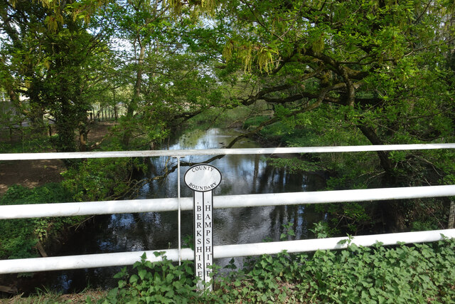
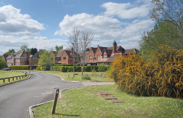
Images are sourced within 2km of 51.360929/-0.83846793 or Grid Reference SU8063. Thanks to Geograph Open Source API. All images are credited.

Finchampstead Memorial Hall Finchampstead's Village Hall was built in 1960.
Finchampstead Memorial Hall
Finchampstead's Village Hall was built in 1960.
Berkshire & Hampshire The River Blackwater is the border between the two counties.
Berkshire & Hampshire
The River Blackwater is the border between the two counties.
Pond, Burnmoor Meadow A holding pond on a new residential development on the edge of Finchampstead.
Pond, Burnmoor Meadow
A holding pond on a new residential development on the edge of Finchampstead.
Burnmoor Meadow, Finchampstead A new residential street on the edge of Finchampstead.
Burnmoor Meadow, Finchampstead
A new residential street on the edge of Finchampstead.
Long Water, Eversley Cross Another of the numerous old gravel pits along the Blackwater Valley.
Long Water, Eversley Cross
Another of the numerous old gravel pits along the Blackwater Valley.
Cross Green Cricket Ground Eversley Cricket Club's ground, which saw its first game back in 1787 and is one of the oldest grounds in the country.
Cross Green Cricket Ground
Eversley Cricket Club's ground, which saw its first game back in 1787 and is one of the oldest grounds in the country.
Seats by the pond at Eversley Cross A bit of a green beside the village pond with Eversley Cricket Club's Cross Green ground beyond.
Seats by the pond at Eversley Cross
A bit of a green beside the village pond with Eversley Cricket Club's Cross Green ground beyond.
Pond at Eversley Cross
Finchampstead Village Hall
B3348, Finchampstead
Children's playground, Finchampstead
Parched sports fields, Finchampstead
The Greyhound, Finchampstead On Longwater Road.
See <a href="https://www.geograph.org.uk/photo/7250173">SU7963 : Sign for the Greyhound, Finchampstead</a> for sign.
The Greyhound, Finchampstead
On Longwater Road. See SU7963 : Sign for the Greyhound, Finchampstead for sign.
Sign for the Greyhound, Finchampstead See <a href="https://www.geograph.org.uk/photo/7250172">SU7963 : The Greyhound, Finchampstead</a> for public house.
Sign for the Greyhound, Finchampstead
House on Cricket Hill, Finchampstead
Cricket Hill, Finchampstead
Crop field near Finchampstead
The Queen's Oak, Finchampstead A country pub near the parish church.
The Queen's Oak, Finchampstead
A country pub near the parish church.
Show me another place!

Spout Pond is located at Grid Ref: SU8063 (Lat: 51.360929, Lng: -0.83846793)

Unitary Authority: Wokingham

Police Authority: Thames Valley

What 3 Words

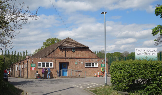
///labels.boomed.heaven. Near Finchampstead, Berkshire

Related Wikis

Finchampstead

Finchampstead is a village and civil parish in the Wokingham Borough in the shire of Berkshire, England. Its northern extremity is 2 miles (3 km) south...

Crowthorne railway station

Crowthorne railway station is a railway station in the village of Crowthorne in Berkshire, England. The station is managed by Great Western Railway, who...

Finchampstead F.C.

Finchampstead Football Club is a football club based in Finchampstead, Berkshire, England. They are currently members of the Thames Valley Premier League...

Ambarrow Court

Ambarrow Court is a 7.8-hectare (19-acre) Local Nature Reserve in Little Sandhurst in Berkshire. It is owned and managed by Bracknell Forest Borough Council...

Nearby Amenities

Located within 500m of 51.360929,-0.83846793
Post Box
Operator: Royal Mail
Post Box Type: lamp
Ref: RG40 309
Royal Cypher: EIIR
Royal Cypher Wikidata: Q33102113
Lat/Long: 51.3581805/-0.8395657
Parking
Parking: street_side
Lat/Long: 51.3644992/-0.8390606
Moor Green Lakes Nature Reserve
Bicycle: no
Hiking: yes
Horse: yes
Information: map
Map Size: site
Map Type: street
Tourism: information
Lat/Long: 51.3582527/-0.8442415
Post Box
Mapillary: 469286304130579
Operator: Royal Mail
Post Box Mounting: pier
Post Box Type: lamp
Survey Date: 2020-10-17
Lat/Long: 51.3651933/-0.8405505
Foxglade Farm
Landuse: farm
Note Retag: CS #48756035
Source: OS_OpenData_StreetView
Lat/Long: 51.3577367/-0.8411353
Hall Farm
Landuse: farm
Note Retag: CS #48756035
Source: OS_OpenData_StreetView
Lat/Long: 51.3582762/-0.8374177
Moor Green Farm
Landuse: farm
Note Retag: CS #48756035
Source: OS_OpenData_StreetView
Lat/Long: 51.3577703/-0.8423315
Bench
Backrest: no
Lat/Long: 51.363779/-0.8384779
Bench
Backrest: no
Lat/Long: 51.3631167/-0.8392117
Direction: 150
Generator Method: photovoltaic
Generator Output Electricity: yes
Generator Solar Modules: 6
Generator Source: solar
Generator Type: solar_photovoltaic_panel
Location: roof
Power: generator
Lat/Long: 51.3636693/-0.8358061
Generator Method: photovoltaic
Generator Output Electricity: yes
Generator Solar Modules: 24
Generator Source: solar
Generator Type: solar_photovoltaic_panel
Location: roof
Power: generator
Tilted: no
Lat/Long: 51.3636073/-0.8357456
Direction: 180
Generator Method: photovoltaic
Generator Output Electricity: yes
Generator Solar Modules: 15
Generator Source: solar
Generator Type: solar_photovoltaic_panel
Location: roof
Power: generator
Lat/Long: 51.3603372/-0.836301
Board Type: sport
Information: board
Tourism: information
Lat/Long: 51.3644824/-0.8391246
Bench
Backrest: no
Lat/Long: 51.3644726/-0.8392568
Bench
Backrest: no
Lat/Long: 51.3642182/-0.838953
Board Type: history
Information: board
Tourism: information
Lat/Long: 51.3632987/-0.8392342
Board Type: plants
Information: board
Tourism: information
Lat/Long: 51.3638403/-0.8384727
Bench
Backrest: no
Lat/Long: 51.363015/-0.8393177
The data included in this document is from www.openstreetmap.org. The data is made available under ODbL.

Have you been to Spout Pond?

Leave your review of Spout Pond below (or comments, questions and feedback).