The Ridges

Settlement in Berkshire

England

The Ridges

Reading Road, Eversley Cross
Reading Road, Eversley Cross Credit: David Howard

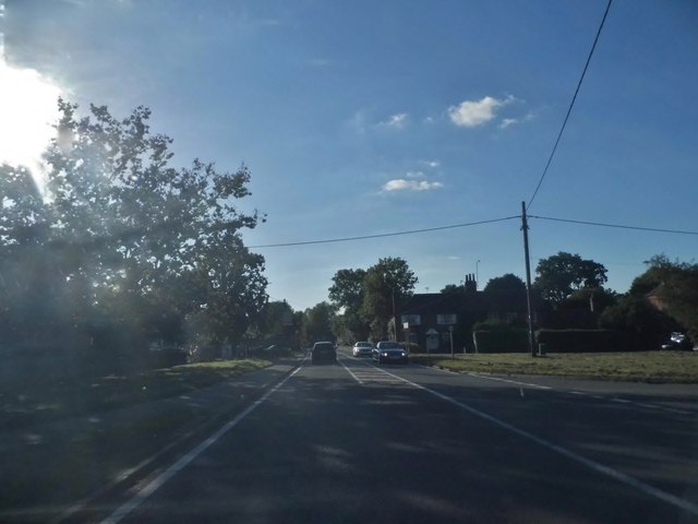
The Ridges is a picturesque area located in Berkshire, England. Situated amidst the rolling hills and lush greenery, it offers a tranquil and idyllic setting for residents and visitors alike. This residential area is known for its exclusive properties and high standard of living.

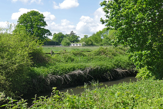
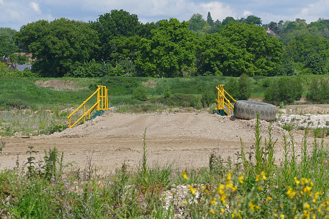
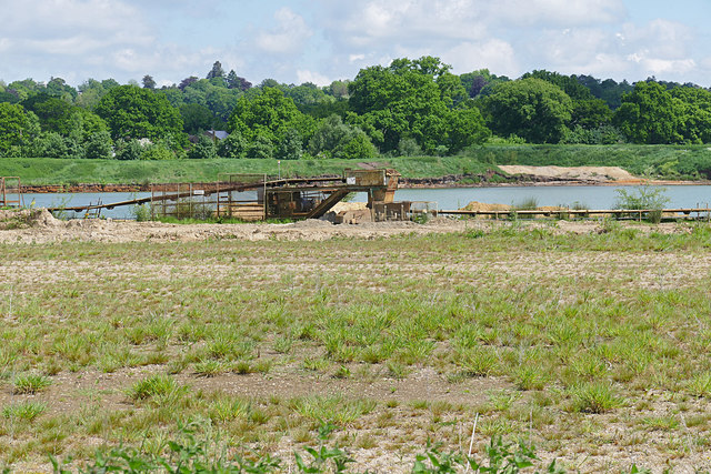
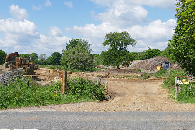
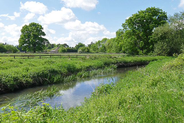
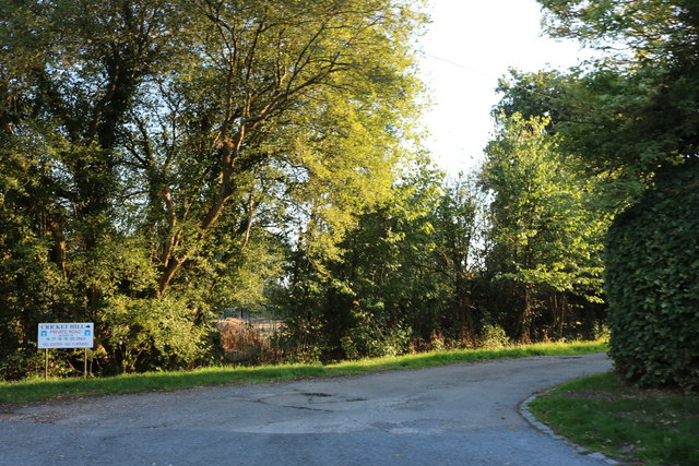
The Ridges is renowned for its beautiful landscapes and scenic views. Surrounded by nature reserves and protected areas, it provides ample opportunities for outdoor activities such as hiking, cycling, and picnicking. The area is dotted with charming villages and hamlets, each exuding its own unique character and charm.

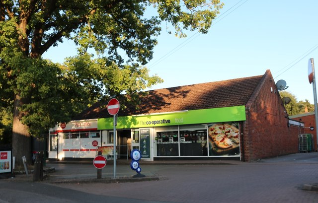
In terms of amenities, The Ridges offers a range of facilities to cater to the needs of its residents. There are several prestigious schools and colleges in the vicinity, making it an attractive location for families with children. Additionally, the area boasts a variety of shopping centers, restaurants, and recreational facilities, ensuring that residents have easy access to all their requirements.

The Ridges benefits from excellent transport links, with major motorways and railway stations located nearby. This makes commuting to major cities, such as London, easily accessible for those who work in the city but prefer a quieter residential environment.

Overall, The Ridges in Berkshire is a highly sought-after location that offers a perfect blend of natural beauty, modern conveniences, and a high quality of life. Whether it is for its stunning landscapes, prestigious schools, or convenient transport links, The Ridges has something to offer for everyone.

If you have any feedback on the listing, please let us know in the comments section below.
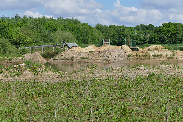
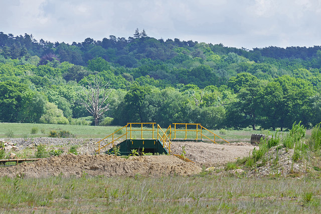
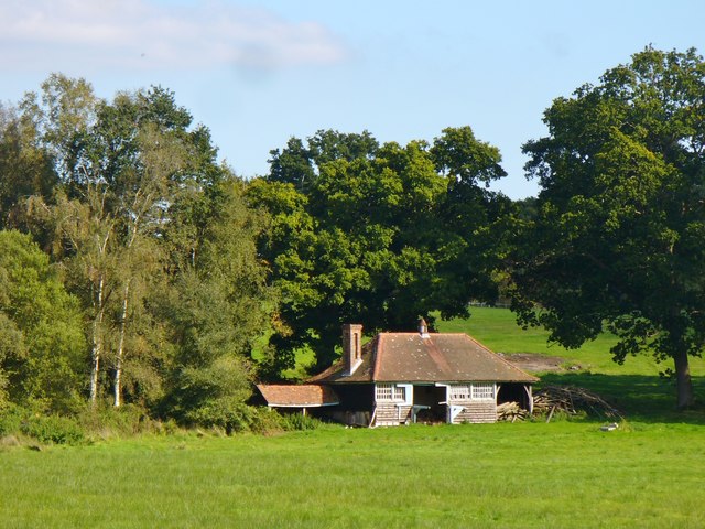
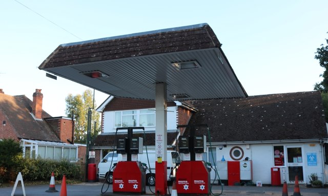
The Ridges Images

Images are sourced within 2km of 51.360446/-0.8523835 or Grid Reference SU8063. Thanks to Geograph Open Source API. All images are credited.

Reading Road, Eversley Cross
Fleethill Gravel Pit near Yateley The conveyer which runs under the B3016 to the processing plant at Manor Farm, a distance of 1.3Km
Fleethill Gravel Pit near Yateley
The conveyer which runs under the B3016 to the processing plant at Manor Farm, a distance of 1.3Km
Manor Farm gravel pit near Yateley The western end of the pit near the B3016. The pond was once part of a much larger lake which has been infilled. This area is designated to become a nature reserve once operations have ceased, possibly passing to the RSPB.
Manor Farm gravel pit near Yateley
The western end of the pit near the B3016. The pond was once part of a much larger lake which has been infilled. This area is designated to become a nature reserve once operations have ceased, possibly passing to the RSPB.
B3016, Longwater Road The road running from Eversley Cross to Finchampstead. The bridge is an underpass for the mineral conveyor belt from the Fleethill gravel pit on the left to the Manor Farm processing plant south of the River Blackwater.
B3016, Longwater Road
The road running from Eversley Cross to Finchampstead. The bridge is an underpass for the mineral conveyor belt from the Fleethill gravel pit on the left to the Manor Farm processing plant south of the River Blackwater.
River Blackwater near Eversley Cross The view across the Blackwater towards the farmland near Eversley Cross.
River Blackwater near Eversley Cross
The view across the Blackwater towards the farmland near Eversley Cross.
Sewage works near Eversley Cross The filter beds of this small sewage farm off the B3016 near Eversley Cross.
Sewage works near Eversley Cross
The filter beds of this small sewage farm off the B3016 near Eversley Cross.
Manor Farm gravel pit The entrance to Manor Farm gravel pit off the B3016. The conveyor belt running across the site is on the right.
Manor Farm gravel pit
The entrance to Manor Farm gravel pit off the B3016. The conveyor belt running across the site is on the right.
Manor Farm gravel pit The dried up lake bed along the Blackwater Valley path which runs across the site following the course of the river. Large flocks of finches frequent these beds.
Manor Farm gravel pit
The dried up lake bed along the Blackwater Valley path which runs across the site following the course of the river. Large flocks of finches frequent these beds.
Bridge, Manor Farm A vehicle bridge over the mineral conveyor belt in the Manor Farm gravel pit near Yateley.
Bridge, Manor Farm
A vehicle bridge over the mineral conveyor belt in the Manor Farm gravel pit near Yateley.
Manor Farm gravel pit A transfer station where the mineral conveyor belt takes a change of direction. The conveyor which runs for 1.3Km has a number of transfer stations along its length.
Manor Farm gravel pit
A transfer station where the mineral conveyor belt takes a change of direction. The conveyor which runs for 1.3Km has a number of transfer stations along its length.
Fleethill Farm gravel pit entrance The entrance to the Fleethill Farm gravel pit off the B3016 near Finchampstead.
Fleethill Farm gravel pit entrance
The entrance to the Fleethill Farm gravel pit off the B3016 near Finchampstead.
River Blackwater, Eversley Cross Looking across the Blackwater towards one of the houses on the B3016 in Eversley Cross.
River Blackwater, Eversley Cross
Looking across the Blackwater towards one of the houses on the B3016 in Eversley Cross.
Manor Farm gravel pit The west end of the gravel pits with a vehicle bridge over the conveyor belt and a belt transfer station to the left where the belt changes direction.
Manor Farm gravel pit
The west end of the gravel pits with a vehicle bridge over the conveyor belt and a belt transfer station to the left where the belt changes direction.
View towards Finchampstead Ridges Looking across the workings of Manor Farm gravel pit towards the wooded heights of Finchampstead Ridges.
View towards Finchampstead Ridges
Looking across the workings of Manor Farm gravel pit towards the wooded heights of Finchampstead Ridges.
Rural Finchampstead Perhaps a barn to the west of Finchampstead village.
Rural Finchampstead
Perhaps a barn to the west of Finchampstead village.
Petrol station on The Village, Finchampstead
Lower Sandhurst Road, Finchampstead
Co-op Food on Finchampstead Road
Show me another place!

The Ridges is located at Grid Ref: SU8063 (Lat: 51.360446, Lng: -0.8523835)

Unitary Authority: Wokingham

Police Authority: Thames Valley

What 3 Words

///soggy.wounds.leaflet. Near Finchampstead, Berkshire

Related Wikis

Finchampstead

Finchampstead is a village and civil parish in the Wokingham Borough in the shire of Berkshire, England. Its northern extremity is 2 miles (3 km) south...

Finchampstead F.C.

Finchampstead Football Club is a football club based in Finchampstead, Berkshire, England. They are currently members of the Thames Valley Premier League...

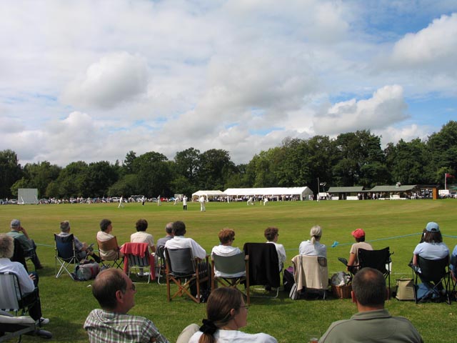
Memorial Ground, Finchampstead

The Memorial Ground (also known as Finchampstead Park) is a cricket ground in Finchampstead, Berkshire, England. The ground is located at the northern...

Eversley & California F.C.

Eversley & California Football Club is a football club based in Eversley, Hampshire, England. They are currently members of the Combined Counties League...

Eversley Cross

Eversley Cross is a village in the eastern corner of the Eversley parish in the Hart District of Hampshire, England. It is in the civil parish of Eversley...

Eversley Centre

Eversley Centre is a village in the Hart District of Hampshire, England. Its nearest town is Yateley, approximately 2 miles (2.5 km) away from the village...

Eversley

Eversley is a village and civil parish in the Hart district of Hampshire, England. The village is located around 11 miles (18 km) northeast of Basingstoke...
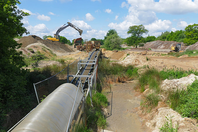
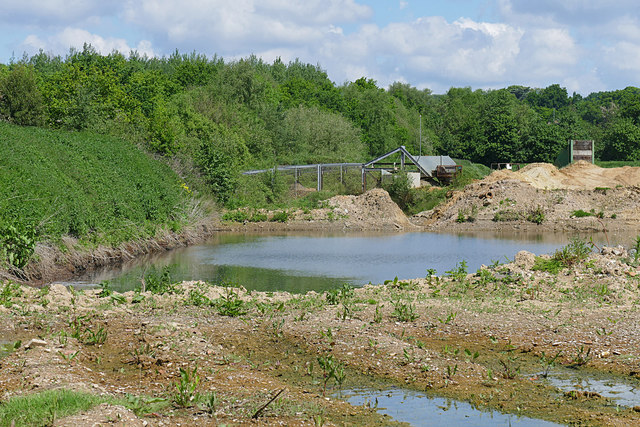
Yateley Complex

The Yateley Complex is a working gravel pit and a series of fishing lakes at Yateley, Hampshire, England, operated by CEMEX, the world's largest building...

Nearby Amenities

Located within 500m of 51.360446,-0.8523835
Leisure: playground
Lat/Long: 51.3589229/-0.8575947
Barrier: kerb
Lat/Long: 51.3599009/-0.8584204
Post Box
Operator: Royal Mail
Post Box Type: lamp
Source: drive-by survey
Lat/Long: 51.3589608/-0.8580694
Crossing
Crossing: unmarked
Kerb: lowered
Sloped Curb: yes
Source: seen on journey
Lat/Long: 51.3607155/-0.8583214
Barrier: kerb
Lat/Long: 51.3599437/-0.8585221
Finchampstead
Note: Finchampstead effecivtely has two centres
Place: village
Lat/Long: 51.3615408/-0.8585256
Give Way
Source: DigitalGlobe-Premium
Lat/Long: 51.3623364/-0.8577913
Direction: 150
Generator Method: photovoltaic
Generator Output Electricity: yes
Generator Solar Modules: 13
Generator Source: solar
Generator Type: solar_photovoltaic_panel
Location: roof
Power: generator
Lat/Long: 51.3609473/-0.8577542
Direction: 165
Generator Method: photovoltaic
Generator Output Electricity: yes
Generator Solar Modules: 14
Generator Source: solar
Generator Type: solar_photovoltaic_panel
Location: roof
Power: generator
Lat/Long: 51.3620333/-0.8588468
Direction: 180
Generator Method: photovoltaic
Generator Output Electricity: yes
Generator Solar Modules: 24
Generator Source: solar
Generator Type: solar_photovoltaic_panel
Location: roof
Power: generator
Lat/Long: 51.3638466/-0.8485107
Direction: 100
Generator Method: photovoltaic
Generator Output Electricity: yes
Generator Solar Modules: 9
Generator Source: solar
Generator Type: solar_photovoltaic_panel
Location: roof
Power: generator
Lat/Long: 51.3588727/-0.8585206
Direction: 280
Generator Method: photovoltaic
Generator Output Electricity: yes
Generator Solar Modules: 10
Generator Source: solar
Generator Type: solar_photovoltaic_panel
Location: roof
Power: generator
Lat/Long: 51.358881/-0.8585765
The data included in this document is from www.openstreetmap.org. The data is made available under ODbL.

Have you been to The Ridges?

Leave your review of The Ridges below (or comments, questions and feedback).