Finchampstead Ridges

Heritage Site in Berkshire

England

Finchampstead Ridges

Fleethill Gravel Pit near Yateley The conveyer which runs under the B3016 to the processing plant at Manor Farm, a distance of 1.3Km
Fleethill Gravel Pit near Yateley Credit: Alan Hunt

Finchampstead Ridges, located in Berkshire, England, is a renowned heritage site known for its natural beauty and historical significance. Covering an area of approximately 150 acres, the site is situated on the edge of the ancient Finchampstead village, offering breathtaking views of the surrounding countryside.

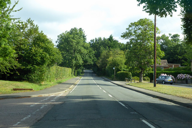
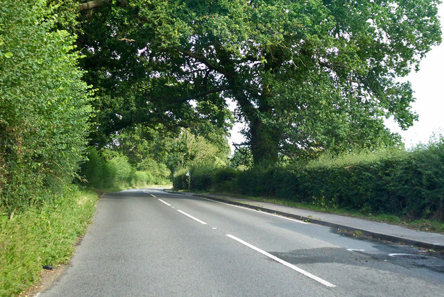
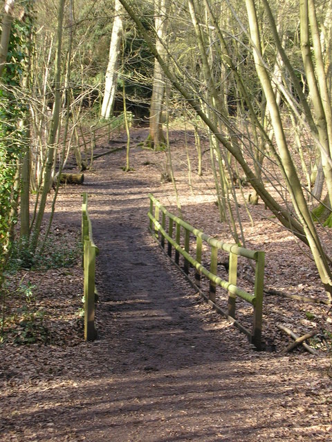
The Ridges are an extensive network of undulating hills and valleys, formed by the erosion of sand and gravel deposits over millions of years. The area is characterized by its vibrant heathland, rich in diverse flora and fauna. Visitors can explore the picturesque landscape, consisting of heather, gorse, bracken, and scattered oak and birch trees.

Apart from its natural splendor, Finchampstead Ridges also boasts a rich historical heritage. The site has been inhabited since prehistoric times, with archaeological evidence suggesting human activity dating back to the Neolithic era. Additionally, the Ridges served as an important defense site during the Iron Age, with remnants of hillforts and defensive ditches still visible today.

During the medieval period, Finchampstead Ridges played a significant role in local agriculture and provided grazing land for livestock. The site also witnessed military activity during World War II, with trenches and other defensive structures built to protect the area.

Today, Finchampstead Ridges is a designated Site of Special Scientific Interest (SSSI) and a popular destination for nature enthusiasts, hikers, and history buffs alike. The site offers several walking trails, allowing visitors to explore its diverse ecosystem and enjoy panoramic views of the surrounding countryside. With its combination of natural beauty and historical significance, Finchampstead Ridges continues to captivate and inspire visitors from near and far.

If you have any feedback on the listing, please let us know in the comments section below.

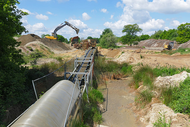
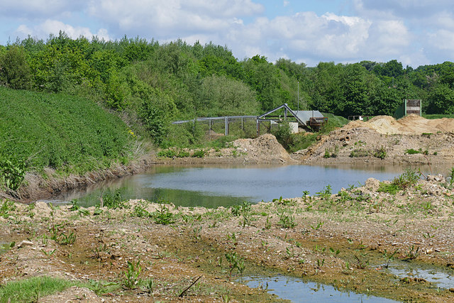
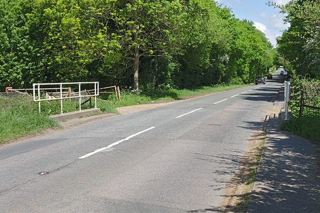
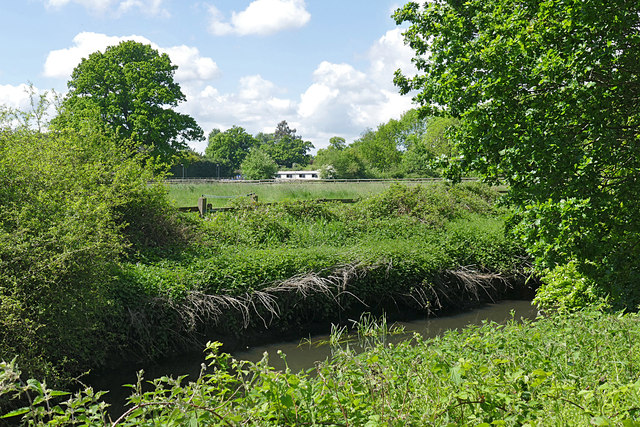
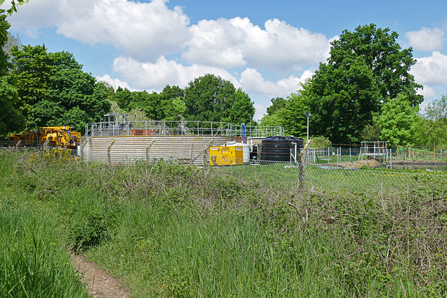
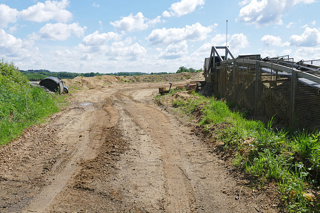
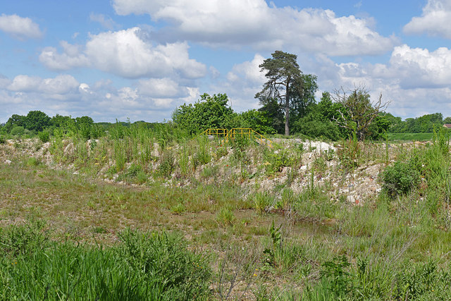
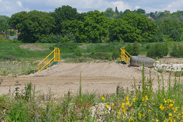
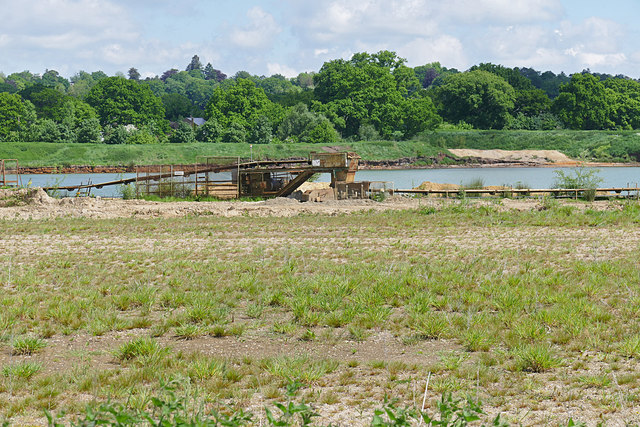
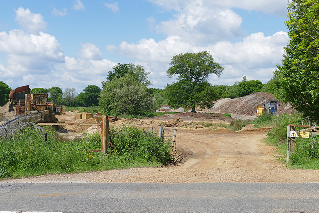
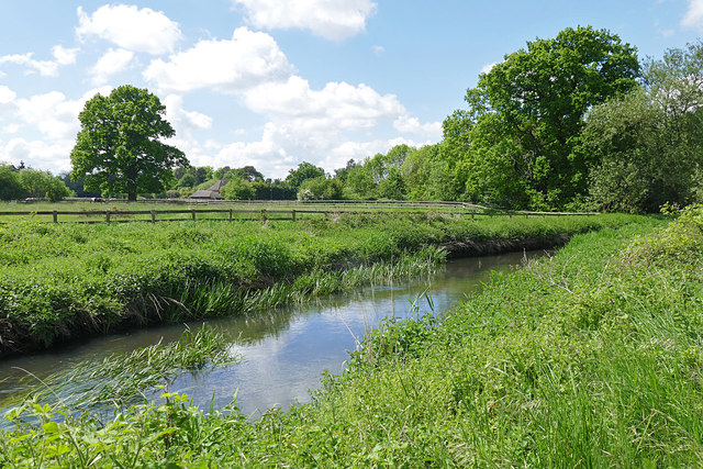
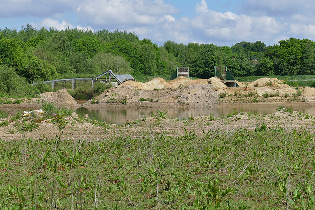
Finchampstead Ridges Images

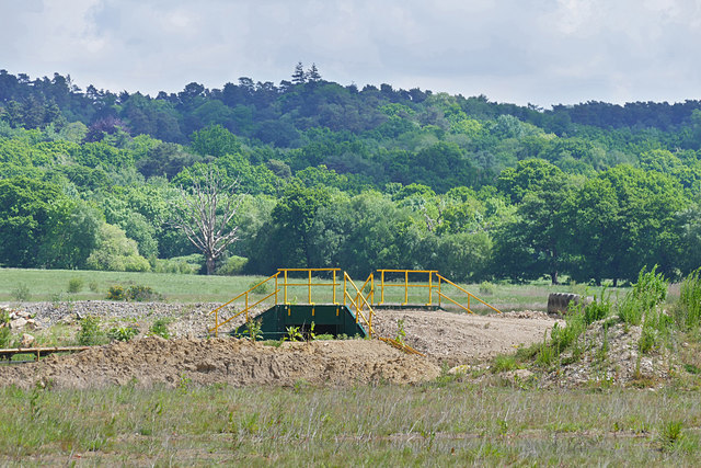
Images are sourced within 2km of 51.364/-0.841 or Grid Reference SU8063. Thanks to Geograph Open Source API. All images are credited.

Fleethill Gravel Pit near Yateley The conveyer which runs under the B3016 to the processing plant at Manor Farm, a distance of 1.3Km
Fleethill Gravel Pit near Yateley
The conveyer which runs under the B3016 to the processing plant at Manor Farm, a distance of 1.3Km
Manor Farm gravel pit near Yateley The western end of the pit near the B3016. The pond was once part of a much larger lake which has been infilled. This area is designated to become a nature reserve once operations have ceased, possibly passing to the RSPB.
Manor Farm gravel pit near Yateley
The western end of the pit near the B3016. The pond was once part of a much larger lake which has been infilled. This area is designated to become a nature reserve once operations have ceased, possibly passing to the RSPB.
B3016, Longwater Road The road running from Eversley Cross to Finchampstead. The bridge is an underpass for the mineral conveyor belt from the Fleethill gravel pit on the left to the Manor Farm processing plant south of the River Blackwater.
B3016, Longwater Road
The road running from Eversley Cross to Finchampstead. The bridge is an underpass for the mineral conveyor belt from the Fleethill gravel pit on the left to the Manor Farm processing plant south of the River Blackwater.
River Blackwater near Eversley Cross The view across the Blackwater towards the farmland near Eversley Cross.
River Blackwater near Eversley Cross
The view across the Blackwater towards the farmland near Eversley Cross.
Sewage works near Eversley Cross The filter beds of this small sewage farm off the B3016 near Eversley Cross.
Sewage works near Eversley Cross
The filter beds of this small sewage farm off the B3016 near Eversley Cross.
Manor Farm gravel pit The entrance to Manor Farm gravel pit off the B3016. The conveyor belt running across the site is on the right.
Manor Farm gravel pit
The entrance to Manor Farm gravel pit off the B3016. The conveyor belt running across the site is on the right.
Manor Farm gravel pit The dried up lake bed along the Blackwater Valley path which runs across the site following the course of the river. Large flocks of finches frequent these beds.
Manor Farm gravel pit
The dried up lake bed along the Blackwater Valley path which runs across the site following the course of the river. Large flocks of finches frequent these beds.
Bridge, Manor Farm A vehicle bridge over the mineral conveyor belt in the Manor Farm gravel pit near Yateley.
Bridge, Manor Farm
A vehicle bridge over the mineral conveyor belt in the Manor Farm gravel pit near Yateley.
Manor Farm gravel pit A transfer station where the mineral conveyor belt takes a change of direction. The conveyor which runs for 1.3Km has a number of transfer stations along its length.
Manor Farm gravel pit
A transfer station where the mineral conveyor belt takes a change of direction. The conveyor which runs for 1.3Km has a number of transfer stations along its length.
Fleethill Farm gravel pit entrance The entrance to the Fleethill Farm gravel pit off the B3016 near Finchampstead.
Fleethill Farm gravel pit entrance
The entrance to the Fleethill Farm gravel pit off the B3016 near Finchampstead.
River Blackwater, Eversley Cross Looking across the Blackwater towards one of the houses on the B3016 in Eversley Cross.
River Blackwater, Eversley Cross
Looking across the Blackwater towards one of the houses on the B3016 in Eversley Cross.
Manor Farm gravel pit The west end of the gravel pits with a vehicle bridge over the conveyor belt and a belt transfer station to the left where the belt changes direction.
Manor Farm gravel pit
The west end of the gravel pits with a vehicle bridge over the conveyor belt and a belt transfer station to the left where the belt changes direction.
View towards Finchampstead Ridges Looking across the workings of Manor Farm gravel pit towards the wooded heights of Finchampstead Ridges.
View towards Finchampstead Ridges
Looking across the workings of Manor Farm gravel pit towards the wooded heights of Finchampstead Ridges.
Petrol station on The Village, Finchampstead
Lower Sandhurst Road, Finchampstead
Co-op Food on Finchampstead Road
B3016 Longwater Road, Finchampstead Towards Wokingham.
B3016 Longwater Road, Finchampstead
Towards Wokingham.
B3016 towards Wokingham
Show me another place!

Finchampstead Ridges is located at Grid Ref: SU8063 (Lat: 51.364, Lng: -0.841)

Unitary Authority: Wokingham

Police Authority: Thames Valley

What 3 Words

///arch.awkward.interrupt. Near Finchampstead, Berkshire

Related Wikis

Finchampstead F.C.

Finchampstead Football Club is a football club based in Finchampstead, Berkshire, England. They are currently members of the Thames Valley Premier League...

Finchampstead

Finchampstead is a village and civil parish in the Wokingham Borough in the shire of Berkshire, England. Its northern extremity is 2 miles (3 km) south...

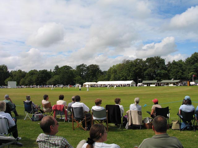
Memorial Ground, Finchampstead

The Memorial Ground (also known as Finchampstead Park) is a cricket ground in Finchampstead, Berkshire, England. The ground is located at the northern...

Crowthorne railway station

Crowthorne railway station is a railway station in the village of Crowthorne in Berkshire, England. The station is managed by Great Western Railway, who...

Eversley & California F.C.

Eversley & California Football Club is a football club based in Eversley, Hampshire, England. They are currently members of the Combined Counties League...

East Berkshire Golf Club

East Berkshire Golf Club is a golf club, located in Crowthorne, Berkshire, England. It was established in 1903. The course was designed by Peter Paxton...

Ambarrow Court

Ambarrow Court is a 7.8-hectare (19-acre) Local Nature Reserve in Little Sandhurst in Berkshire. It is owned and managed by Bracknell Forest Borough Council...

Eversley Cross

Eversley Cross is a village in the eastern corner of the Eversley parish in the Hart District of Hampshire, England. It is in the civil parish of Eversley...

Nearby Amenities

Located within 500m of 51.364,-0.841
Parking
Parking: street_side
Lat/Long: 51.3644992/-0.8390606
Post Box
Mapillary: 469286304130579
Operator: Royal Mail
Post Box Mounting: pier
Post Box Type: lamp
Survey Date: 2020-10-17
Lat/Long: 51.3651933/-0.8405505
Bench
Backrest: no
Lat/Long: 51.363779/-0.8384779
Ford: yes
Lat/Long: 51.367366/-0.8372043
Bench
Backrest: no
Lat/Long: 51.3631167/-0.8392117
Direction: 150
Generator Method: photovoltaic
Generator Output Electricity: yes
Generator Solar Modules: 6
Generator Source: solar
Generator Type: solar_photovoltaic_panel
Location: roof
Power: generator
Lat/Long: 51.3636693/-0.8358061
Generator Method: photovoltaic
Generator Output Electricity: yes
Generator Solar Modules: 24
Generator Source: solar
Generator Type: solar_photovoltaic_panel
Location: roof
Power: generator
Tilted: no
Lat/Long: 51.3636073/-0.8357456
Board Type: sport
Information: board
Tourism: information
Lat/Long: 51.3644824/-0.8391246
Bench
Backrest: no
Lat/Long: 51.3644726/-0.8392568
Bench
Backrest: no
Lat/Long: 51.3642182/-0.838953
Board Type: history
Information: board
Tourism: information
Lat/Long: 51.3632987/-0.8392342
Board Type: plants
Information: board
Tourism: information
Lat/Long: 51.3638403/-0.8384727
Bench
Backrest: no
Lat/Long: 51.363015/-0.8393177
The data included in this document is from www.openstreetmap.org. The data is made available under ODbL.

Have you been to Finchampstead Ridges?

Leave your review of Finchampstead Ridges below (or comments, questions and feedback).