Plomer's Bottom

Valley in Buckinghamshire

England

Plomer's Bottom

Farmland, Saunderton Wheat in Slough Bottom, a dry valley to the north of West Wycombe.
Farmland, Saunderton Credit: Andrew Smith

Plomer's Bottom is a picturesque valley located in the county of Buckinghamshire, England. Nestled within the Chiltern Hills, this idyllic area is renowned for its natural beauty and tranquility. The valley is named after the Plomer family, who owned the land during the 18th century.

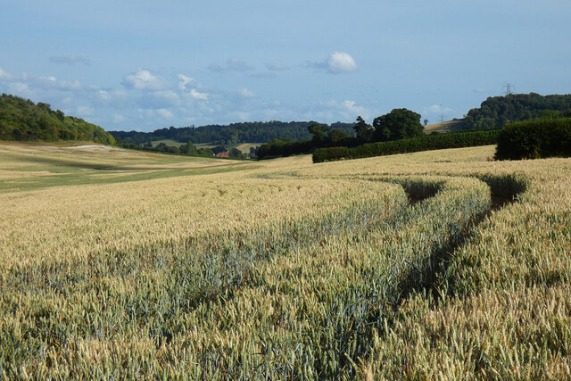
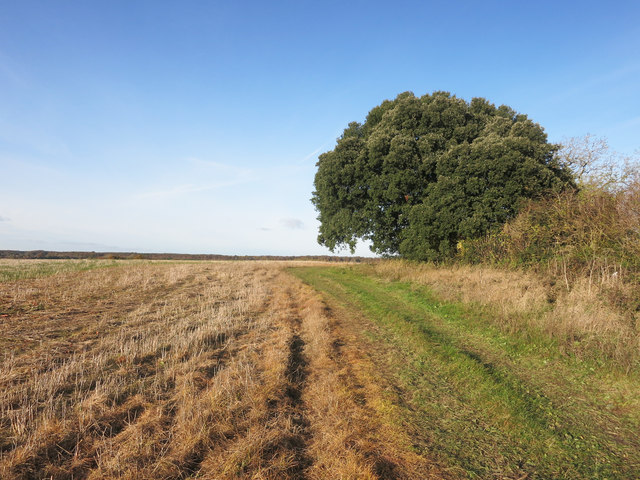
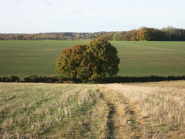
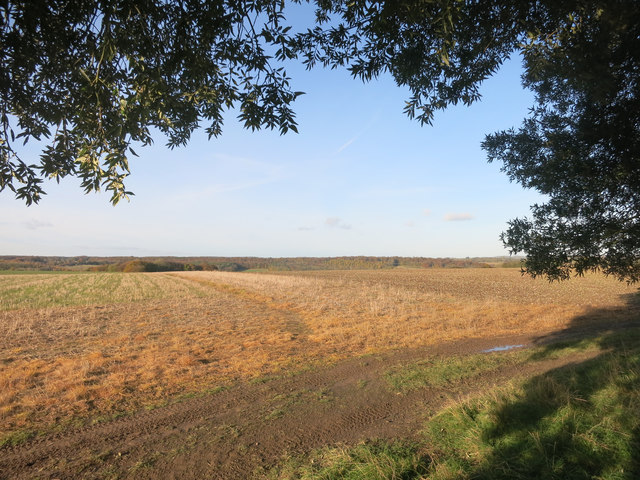
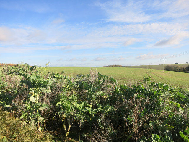
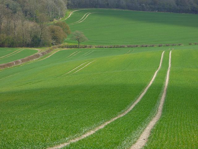
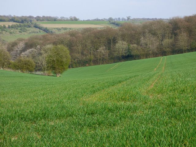
Covering an area of approximately 2 square miles, Plomer's Bottom is characterized by its rolling hills, lush green meadows, and meandering streams. The landscape is predominantly rural, dotted with charming cottages and traditional farmhouses, adding to its timeless appeal. The valley is home to a diverse range of flora and fauna, with ancient woodland and hedgerows providing a haven for various wildlife species.

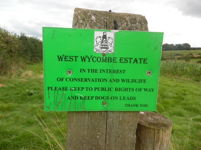
Plomer's Bottom is a popular destination for outdoor enthusiasts, offering numerous walking and hiking trails that showcase the stunning countryside. Visitors can explore the valley's footpaths, taking in the breathtaking views of the surrounding hills and valleys. The area is also known for its abundant wildlife, making it a haven for birdwatchers and nature lovers.

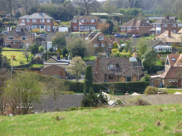
Despite its rural setting, Plomer's Bottom is conveniently located near several charming villages and towns. The nearby market town of Amersham offers a range of amenities, including shops, restaurants, and historical sites. Additionally, the city of London is just a short train ride away, making Plomer's Bottom an ideal location for those seeking a peaceful retreat while still having access to urban amenities.

In summary, Plomer's Bottom is a picturesque valley nestled within the Chiltern Hills, offering a tranquil escape from the bustle of city life. With its natural beauty, diverse wildlife, and proximity to nearby towns, it is a popular destination for nature lovers and those seeking a peaceful countryside experience.

If you have any feedback on the listing, please let us know in the comments section below.

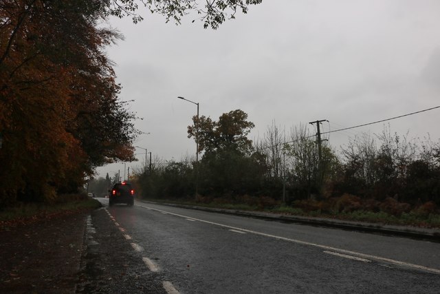
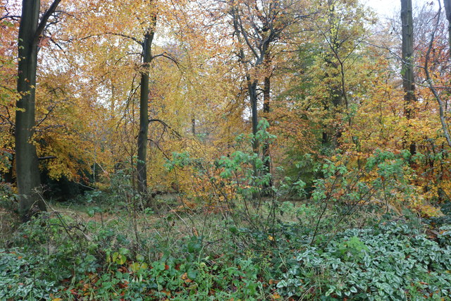
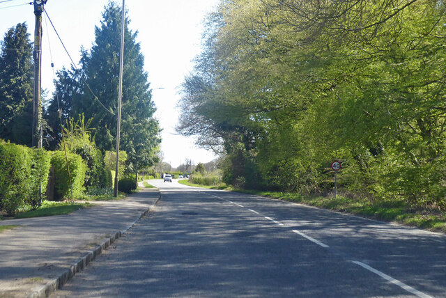
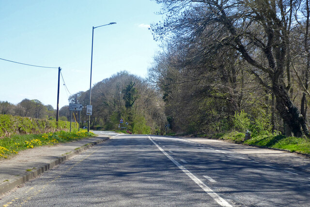
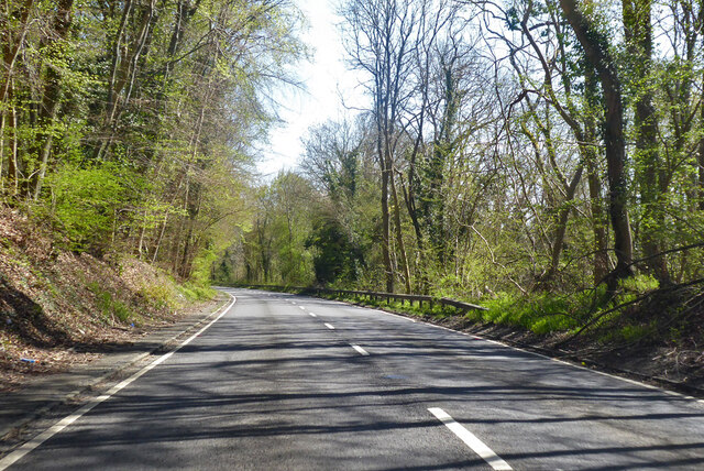
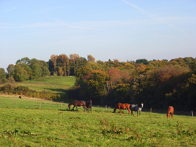
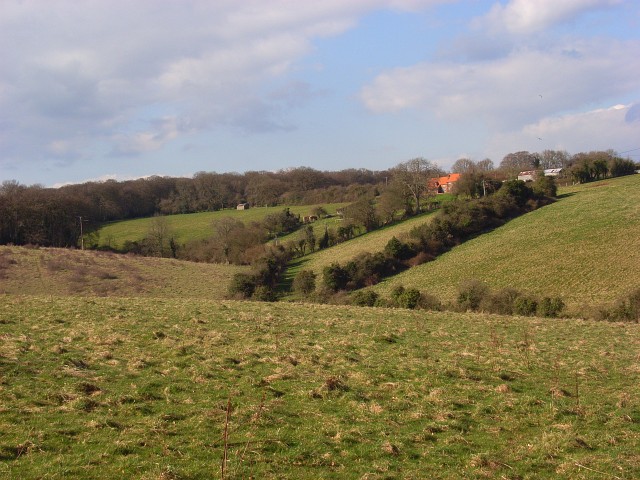
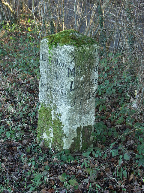
Plomer's Bottom Images

Images are sourced within 2km of 51.648276/-0.83965338 or Grid Reference SU8095. Thanks to Geograph Open Source API. All images are credited.

Farmland, Saunderton Wheat in Slough Bottom, a dry valley to the north of West Wycombe.
Farmland, Saunderton
Wheat in Slough Bottom, a dry valley to the north of West Wycombe.
West Wycombe Estate Notice Located on the footpath between Denham Farm and Great Wood, this notice has been erected by the West Wycombe Estate and has the following wording:

                                            WEST WYCOMBE ESTATE

                                                  IN THE INTEREST
                                  OF CONSERVATION AND WILDLIFE
                            PLEASE KEEP TO PUBLIC RIGHTS OF WAY
                                            AND KEEP DOGS ON LEADS
                                                             
                                                                                      THANK YOU.
West Wycombe Estate Notice
Located on the footpath between Denham Farm and Great Wood, this notice has been erected by the West Wycombe Estate and has the following wording: WEST WYCOMBE ESTATE IN THE INTEREST OF CONSERVATION AND WILDLIFE PLEASE KEEP TO PUBLIC RIGHTS OF WAY AND KEEP DOGS ON LEADS THANK YOU.
Former Methodist Church, Radnage Situated in Green End Road at the junction with Radnage Common Road, this church dates from 1865 and was one of several churches in the High Wycombe Methodist Circuit. Services were held here each Sunday at 3.00pm until the final service took place on Sunday 23rd March 2003. It was then converted into a private dwelling.
Former Methodist Church, Radnage
Situated in Green End Road at the junction with Radnage Common Road, this church dates from 1865 and was one of several churches in the High Wycombe Methodist Circuit. Services were held here each Sunday at 3.00pm until the final service took place on Sunday 23rd March 2003. It was then converted into a private dwelling.
Footpath near Huckenden Farm One of four paths running more or less north - south across this square.
Footpath near Huckenden Farm
One of four paths running more or less north - south across this square.
Heading for a Tree The footpath crosses open farmland in a shallow dry valley.
Heading for a Tree
The footpath crosses open farmland in a shallow dry valley.
Footpath leaves the farm track A path heads off over the fields leaving a muddier track that has had vehicles along it. Both are rights of way in this very accessible square.
Footpath leaves the farm track
A path heads off over the fields leaving a muddier track that has had vehicles along it. Both are rights of way in this very accessible square.
Field and fence at Dell's Farm
Sprouts by the Path A strip of sprouts is growing between the footpath and the next field.
Sprouts by the Path
A strip of sprouts is growing between the footpath and the next field.
Old Milestone by the A40, south east of Beacon's Bottom Carved stone post by the A40, in parish of Stokenchurch (Wycombe District), Old Dashwood Hill; Studley Green, where old and new roads rejoin at top of Dashwood Hill, in bushes on wedge of ground formed where old road and new roads branch; North of new road, South of old road, on South side of old road. Beaconsfield diamond pillar, erected by the Beaconsfield & Stokenchurch turnpike trust in the 18th century. 

Inscription reads:-
: Oxford / 20 / Tetsworth / 8 : : London / 34 / Wycombe / 5 : : XXXIV / Miles from / London / 1744 :  
Rivet benchmark on top.

Grade II listed.
List Entry Number: 1125727 <span class="nowrap"><a title="https://historicengland.org.uk/listing/the-list/list-entry/1125727" rel="nofollow ugc noopener" href="https://historicengland.org.uk/listing/the-list/list-entry/1125727">Link</a><img style="margin-left:2px;" alt="External link" title="External link - shift click to open in new window" src="https://s1.geograph.org.uk/img/external.png" width="10" height="10"/></span>

Milestone Society National ID: BU_LW34
Old Milestone by the A40, south east of Beacon's Bottom
Carved stone post by the A40, in parish of Stokenchurch (Wycombe District), Old Dashwood Hill; Studley Green, where old and new roads rejoin at top of Dashwood Hill, in bushes on wedge of ground formed where old road and new roads branch; North of new road, South of old road, on South side of old road. Beaconsfield diamond pillar, erected by the Beaconsfield & Stokenchurch turnpike trust in the 18th century. Inscription reads:- : Oxford / 20 / Tetsworth / 8 : : London / 34 / Wycombe / 5 : : XXXIV / Miles from / London / 1744 : Rivet benchmark on top. Grade II listed. List Entry Number: 1125727 LinkExternal link Milestone Society National ID: BU_LW34
Old Boundary Marker by Old Dashwood Hill, Stokenchurch parish Parish Boundary Marker by the UC road, in parish of Stokenchurch (Wycombe District), Old Dashwood Hill, Studley Green, outside last house on South end of village, on wide well cut lawn, South side of road.

Inscription reads:-
: WEST / WYCOMBE / PARISH : : STOKENCHURCH / PARISH :
Maker:-
: WILDER :

Surveyed

Milestone Society National ID: BU_LW33pb
Old Boundary Marker by Old Dashwood Hill, Stokenchurch parish
Parish Boundary Marker by the UC road, in parish of Stokenchurch (Wycombe District), Old Dashwood Hill, Studley Green, outside last house on South end of village, on wide well cut lawn, South side of road. Inscription reads:- : WEST / WYCOMBE / PARISH : : STOKENCHURCH / PARISH : Maker:- : WILDER : Surveyed Milestone Society National ID: BU_LW33pb
Farmland, Stokenchurch A sweep of rolling arable farmland viewed from the footpath between Barn Wood and Watercroft Wood.
Farmland, Stokenchurch
A sweep of rolling arable farmland viewed from the footpath between Barn Wood and Watercroft Wood.
Beacon's Bottom, Stokenchurch Houses in St Framcis Road and Water End Road viewed from a footpath climbing from the latter.
Beacon's Bottom, Stokenchurch
Houses in St Framcis Road and Water End Road viewed from a footpath climbing from the latter.
Farmland, Studley Green, Stokenchurch Beside a footpath north of the A40. The dry valley winds its way down to Piddington and West Wycombe.
Farmland, Studley Green, Stokenchurch
Beside a footpath north of the A40. The dry valley winds its way down to Piddington and West Wycombe.
Wycombe Road, Studley Green
Thirds Wood, Studley Green
A40 Wycombe Road Towards Wycombe and London.
A40 Wycombe Road
Towards Wycombe and London.
A40 Wycombe Road Towards Wycombe and London, the old route peels off to the left, to rejoin at the bottom of the hill, it has an inconveniently steep and narrow section. The deviation appears to date from the 1930s.
A40 Wycombe Road
Towards Wycombe and London, the old route peels off to the left, to rejoin at the bottom of the hill, it has an inconveniently steep and narrow section. The deviation appears to date from the 1930s.
A40 Wycombe Road Towards Wycombe, here descending a hill on a deviation from the old route, which has a steeper and narrower descent. The deviation appears to date from the 1930s.
A40 Wycombe Road
Towards Wycombe, here descending a hill on a deviation from the old route, which has a steeper and narrower descent. The deviation appears to date from the 1930s.
Show me another place!

Plomer's Bottom is located at Grid Ref: SU8095 (Lat: 51.648276, Lng: -0.83965338)

Unitary Authority: Buckinghamshire

Police Authority: Thames Valley

What 3 Words

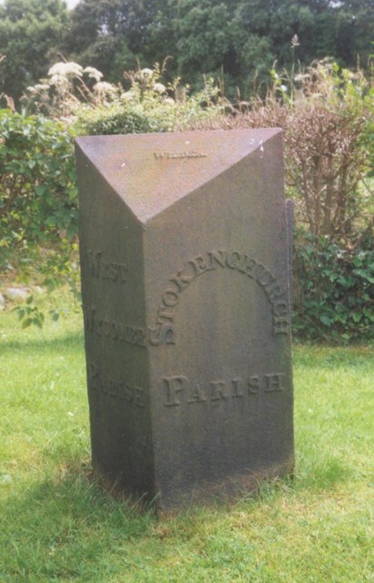
///shell.meant.starfish. Near Stokenchurch, Buckinghamshire

Related Wikis

Bottom Wood

Bottom Wood is a 14.5-hectare (36-acre) woodland in the English county of Buckinghamshire, located just north of the A40 near the hamlet of Studley Green...

Piddington, Buckinghamshire

Piddington is a hamlet in the parish of Piddington and Wheeler End in Buckinghamshire, England. It is located on the main A40 between Stokenchurch and...

Horsleys Green

Horsleys Green (often incorrectly referred to as Horsley's Green) is a hamlet located on the A40 between Piddington and Stokenchurch in Buckinghamshire...

Studley Green

Studley Green is a hamlet located on the A40 between Piddington and Stokenchurch in Buckinghamshire, England. The term 'Studley Green' is also used to...

Piddington and Wheeler End

Piddington and Wheeler End is a small civil parish within Wycombe District Council, Buckinghamshire, England. Within the parish are the main hamlets of...

Buttlers Hangings

Buttlers Hangings is a 3.9-hectare (9.6-acre) Site of Special Scientific Interest north of West Wycombe in Buckinghamshire. It is in the Chilterns Area...

Beacon's Bottom

Beacon's Bottom, also known as Bacon's Bottom, is a hamlet on the A40 between Piddington and Stokenchurch in England. Until 1895 it was administratively...

Wheeler End

Wheeler End is a hamlet in the parish of Piddington and Wheeler End, in Buckinghamshire, England. The hamlet is located close to the main A40 between...

Nearby Amenities

Located within 500m of 51.648276,-0.83965338
Crossing
Lat/Long: 51.6516171/-0.8381682
Barrier: stile
Lat/Long: 51.648854/-0.8364067
The data included in this document is from www.openstreetmap.org. The data is made available under ODbL.

Have you been to Plomer's Bottom?

Leave your review of Plomer's Bottom below (or comments, questions and feedback).