Bramshott Bottom
Valley in Sussex Chichester
England
Bramshott Bottom
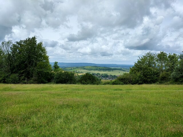
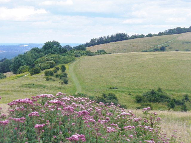
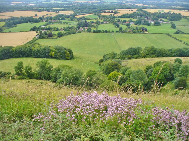
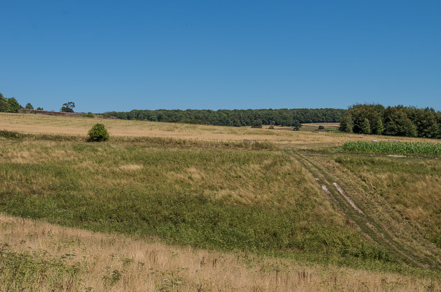
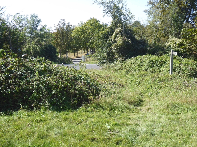
Bramshott Bottom, situated in the county of Sussex, is a picturesque valley renowned for its natural beauty and tranquil atmosphere. Nestled within the South Downs National Park, this idyllic location offers visitors a glimpse into the unspoiled English countryside.
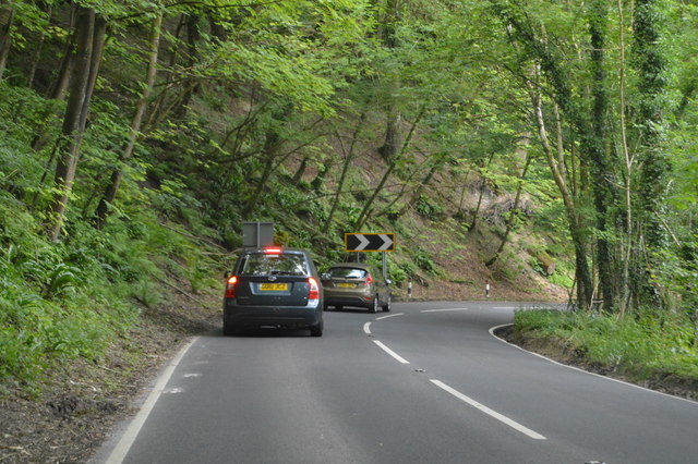
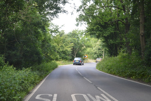
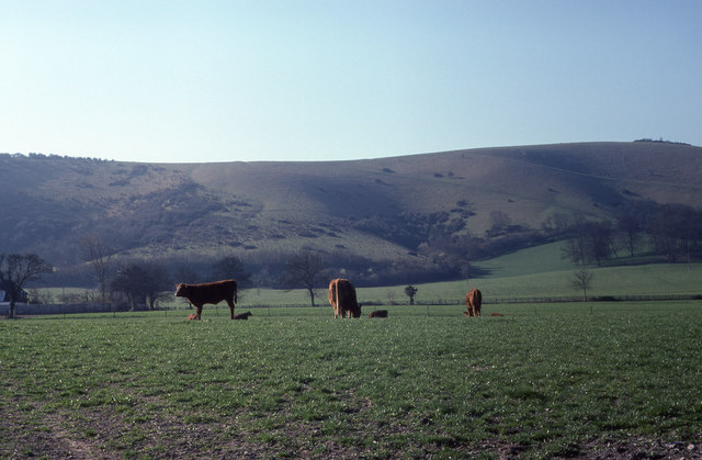
The valley is characterized by rolling hills, verdant meadows, and meandering streams, creating a haven for wildlife enthusiasts and nature lovers. The diverse landscape of Bramshott Bottom showcases a mix of woodland areas, open fields, and small water bodies, contributing to the rich biodiversity found in the area.
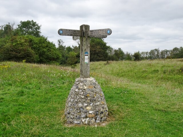
The valley is home to a variety of flora and fauna, including rare species such as the Adonis blue butterfly and the nightingale. The abundance of walking trails allows visitors to explore the valley's natural wonders at their own pace, providing ample opportunities for birdwatching, picnicking, or simply enjoying the serenity of the surroundings.
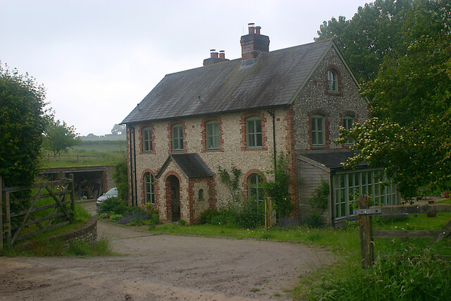
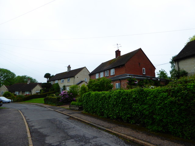
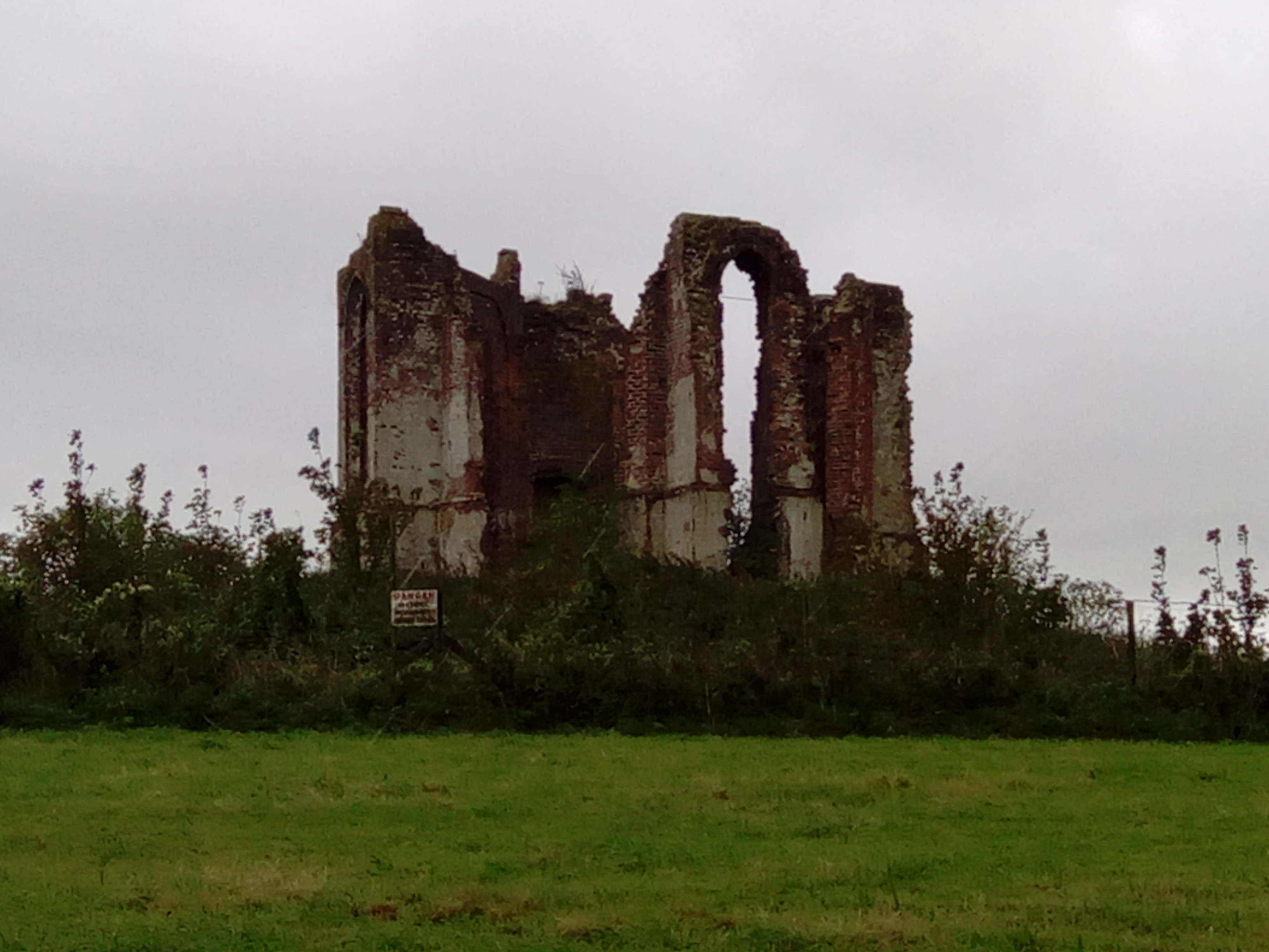
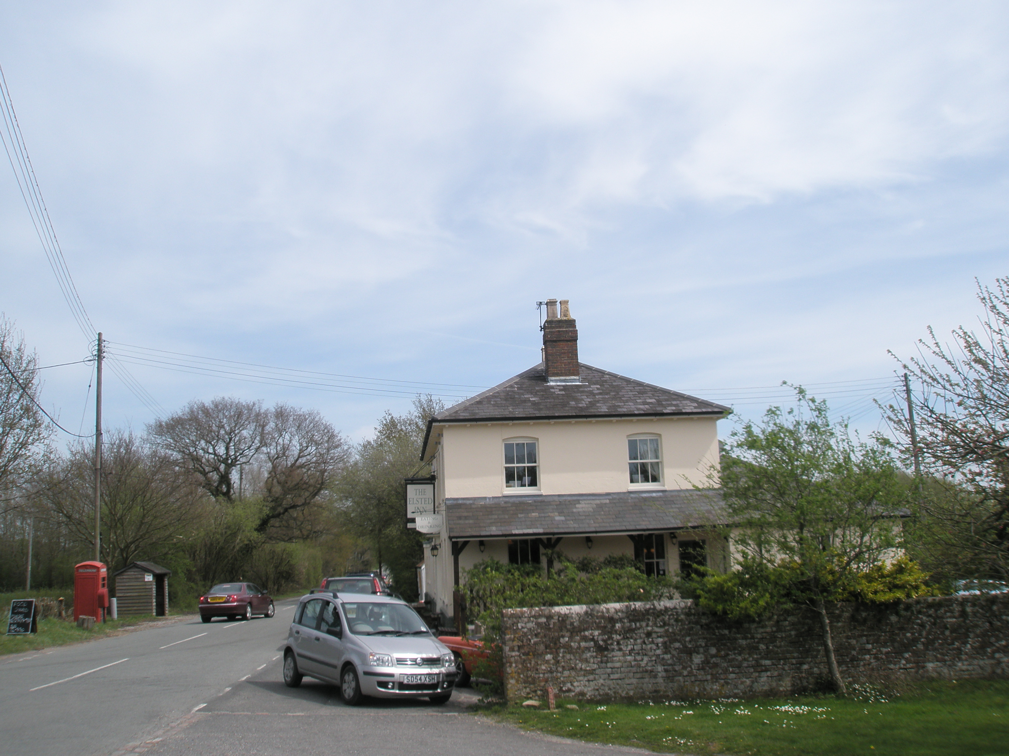
In addition to its natural attractions, Bramshott Bottom boasts a rich historical heritage. The valley is dotted with remnants of ancient settlements, including Iron Age hill forts and Roman ruins, offering a glimpse into the region's past. Nearby, the quaint village of Bramshott provides a charming backdrop with its traditional thatched cottages and a historic church.
With its combination of natural beauty and historical significance, Bramshott Bottom is a place that encapsulates the essence of the Sussex countryside. Whether it's exploring the natural trails, immersing in the local history, or simply unwinding amidst the tranquility, this valley has something to offer for every visitor seeking a genuine connection with nature and a glimpse into England's past.
If you have any feedback on the listing, please let us know in the comments section below.
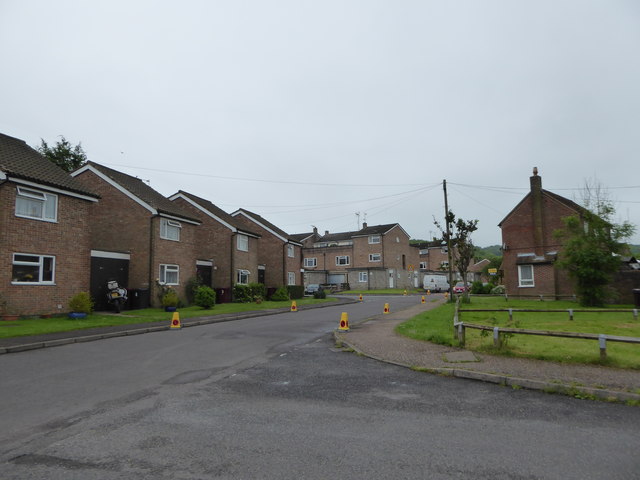
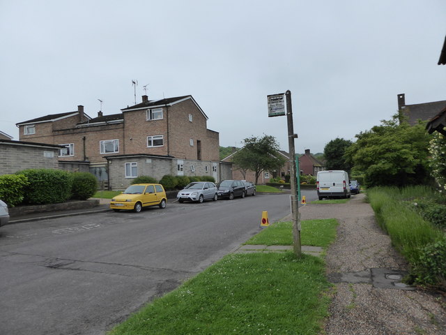
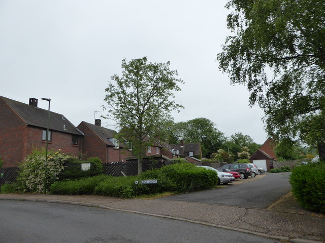
Bramshott Bottom Images
Images are sourced within 2km of 50.956223/-0.85906404 or Grid Reference SU8018. Thanks to Geograph Open Source API. All images are credited.
Bramshott Bottom is located at Grid Ref: SU8018 (Lat: 50.956223, Lng: -0.85906404)
Administrative County: West Sussex
District: Chichester
Police Authority: Sussex
What 3 Words
///mess.capacity.blurs. Near South Harting, West Sussex
Nearby Locations
Related Wikis

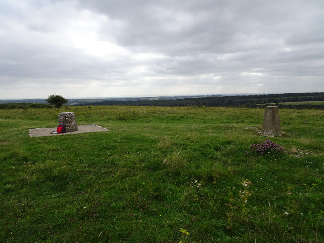
Harting Downs
Harting Downs is a 336.3-hectare (831-acre) biological Site of Special Scientific Interest west of Midhurst in West Sussex. It is a Nature Conservation...
Beacon Hill, West Sussex
Beacon Hill, also known as Harting Beacon, is a hillfort on the South Downs, in the county of West Sussex in southern England. The hillfort is located...

Rook Clift
Rook Clift is a 10.7-hectare (26-acre) biological Site of Special Scientific Interest east of South Harting in West Sussex. It is also a Special Area of...
Vandalian Tower
The Vandalian Tower at Harting, West Sussex, England, is an 18th-century folly, built to commemorate the British colony of Vandalia, a short-lived colony...

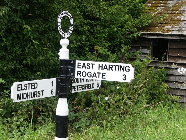
East Harting
East Harting is a hamlet in the Chichester district of West Sussex, England. It lies on the South Harting to Elsted road 4 miles (6.4 km) southeast of...

North Marden
North Marden is a tiny village and former civil parish, now in the parish of Marden, in the Chichester district of West Sussex, England. It is 7.5 miles...
Elsted and Treyford
Elsted and Treyford is a civil parish in the Chichester district of West Sussex, west of Midhurst. It contains the settlements of Elsted, Elsted Marsh...

Elsted
Elsted is a village, Anglican parish and former civil parish, now in the civil parish of Elsted and Treyford, in the Chichester district of West Sussex...
Nearby Amenities
Located within 500m of 50.956223,-0.85906404Have you been to Bramshott Bottom?
Leave your review of Bramshott Bottom below (or comments, questions and feedback).