Barton Slack
Valley in Yorkshire Scarborough
England
Barton Slack

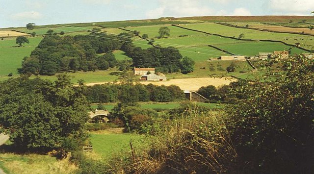
Barton Slack, located in Yorkshire, is a picturesque valley nestled amidst the rolling hills of northern England. This small, yet charming village is renowned for its natural beauty, rich history, and welcoming community.
Surrounded by lush greenery and meandering streams, Barton Slack offers a tranquil escape from the hustle and bustle of urban life. The valley is dotted with traditional stone cottages, giving it a timeless appeal that attracts visitors from far and wide.
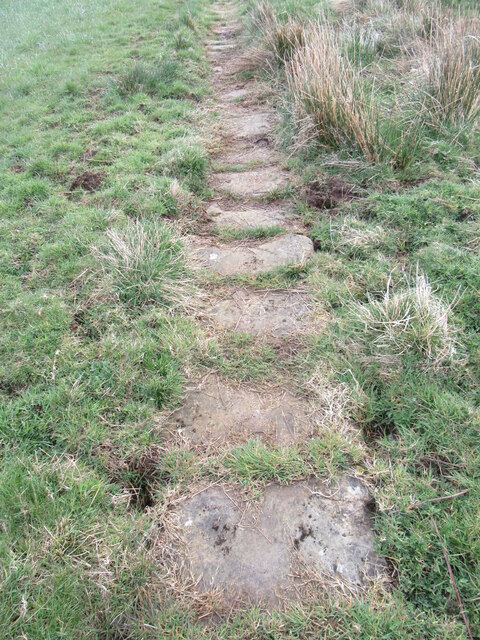
Nature enthusiasts will be delighted by the diverse flora and fauna that call Barton Slack home. The valley is a haven for birdwatchers, with numerous species of birds, including kingfishers and herons, frequenting the area. The surrounding hills offer ample opportunities for hiking and exploring, with breathtaking panoramic views at every turn.
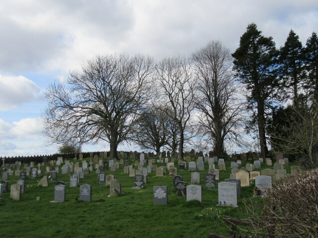
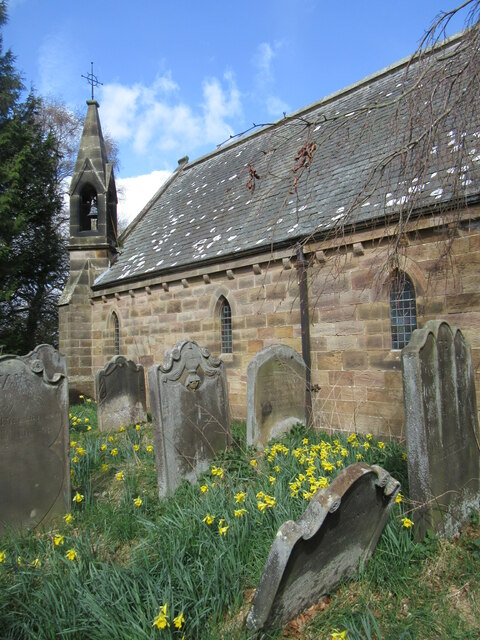
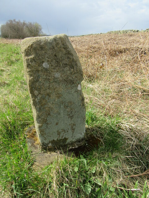
Steeped in history, Barton Slack boasts a number of historical landmarks. The village is home to an ancient church, St. Mary's, which dates back to the 12th century and features stunning stained glass windows. Additionally, remnants of an old Roman road can still be seen, reminding visitors of the area's ancient past.
The community of Barton Slack is known for its warm and friendly atmosphere. The villagers take great pride in their heritage and often organize local events and festivals to celebrate their traditions. Visitors can experience the warmth of Yorkshire hospitality by exploring the local pubs and enjoying traditional cuisine.
In conclusion, Barton Slack, Yorkshire, is a hidden gem that offers a perfect blend of natural beauty, historical significance, and community spirit. Whether seeking a tranquil retreat or an opportunity to immerse oneself in local culture, this charming village has something for everyone.
If you have any feedback on the listing, please let us know in the comments section below.
Barton Slack Images
Images are sourced within 2km of 54.460901/-0.76407477 or Grid Reference NZ8007. Thanks to Geograph Open Source API. All images are credited.


Barton Slack is located at Grid Ref: NZ8007 (Lat: 54.460901, Lng: -0.76407477)
Division: North Riding
Administrative County: North Yorkshire
District: Scarborough
Police Authority: North Yorkshire
What 3 Words
///uttering.forgiven.yesterday. Near Sleights, North Yorkshire
Nearby Locations
Related Wikis

A171 road
The A171 is a road in England that links the North Yorkshire towns of Middlesbrough, Guisborough, Whitby, Robin Hood's Bay and Scarborough. Locally it...

Egton
Egton is a village and civil parish in the Scarborough local administration district of North Yorkshire county, England, about 5 miles (8 km) west of Whitby...

St Hilda's Church, Egton
St Hilda's church, Egton, is a Church of England church in Egton, North Yorkshire, built in 1879 and designed by local architect E. H. Smales. St Hilda...
Eskdale, North Yorkshire
Eskdale is a valley running west to east from Westerdale on the North York Moors to Whitby on the Yorkshire Coast of England. Formed during the last major...

Egton railway station
Egton is a railway station on the Esk Valley Line, which runs between Middlesbrough and Whitby via Nunthorpe. The station, situated 7 miles 66 chains...
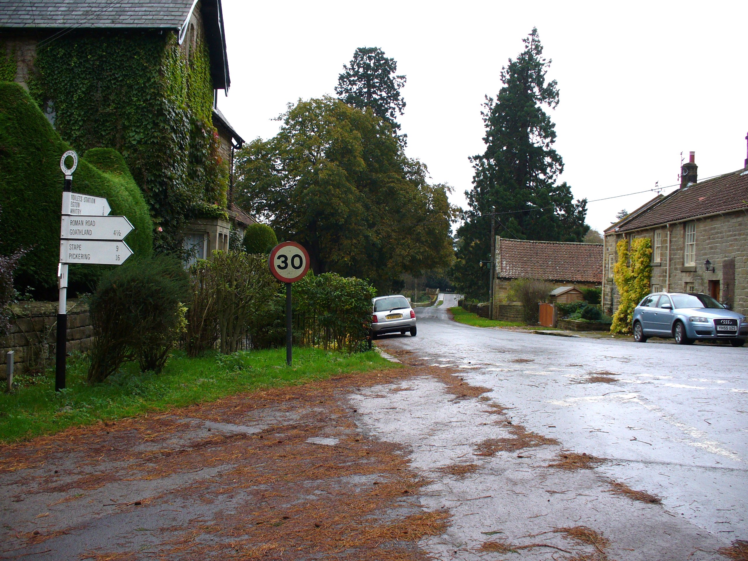
Egton Bridge
Egton Bridge is a village in the Scarborough district of North Yorkshire, England. It lies within the North York Moors National Park, on the River Esk...

Egton Manor
Egton Manor is an historic country house near the village of Egton Bridge, on the banks of the River Esk in the North Yorkshire Moors. The Grade II listed...
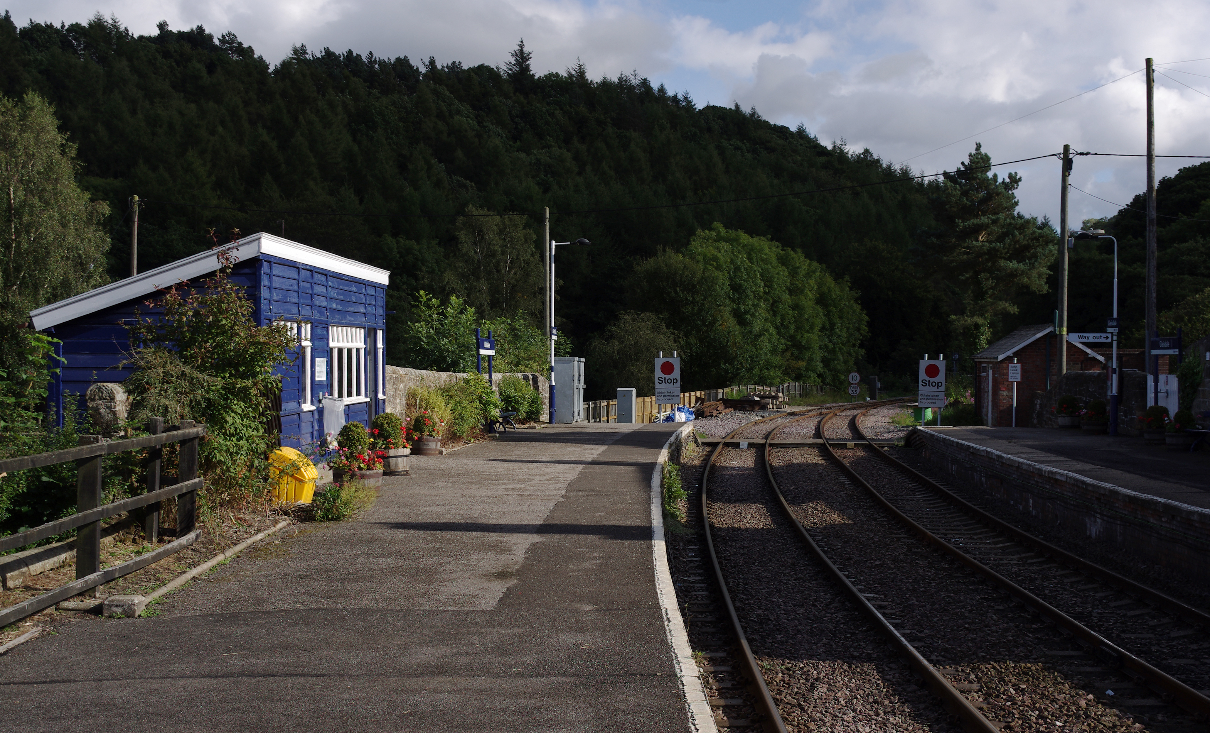
Glaisdale railway station
Glaisdale is a railway station on the Esk Valley Line, which runs between Middlesbrough and Whitby via Nunthorpe. The station, situated 9 miles 33 chains...
Nearby Amenities
Located within 500m of 54.460901,-0.76407477Have you been to Barton Slack?
Leave your review of Barton Slack below (or comments, questions and feedback).