Pond Wood
Wood, Forest in Buckinghamshire
England
Pond Wood
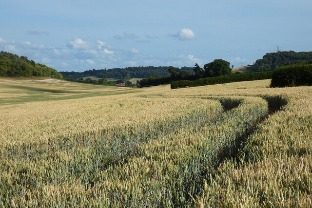
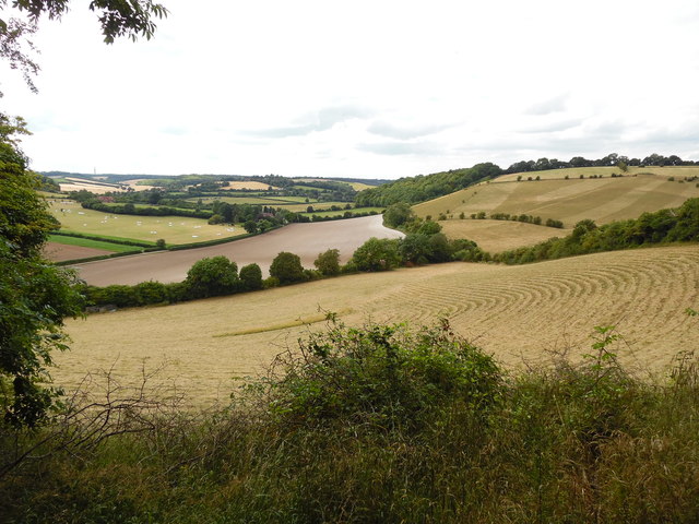
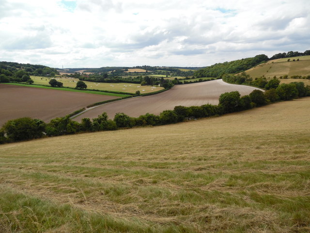
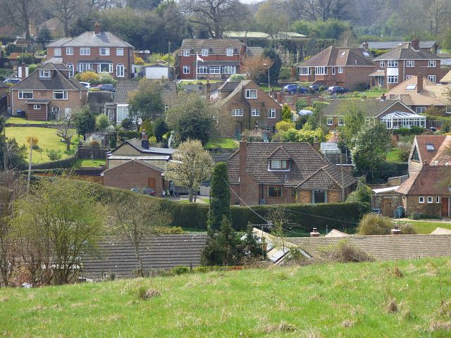
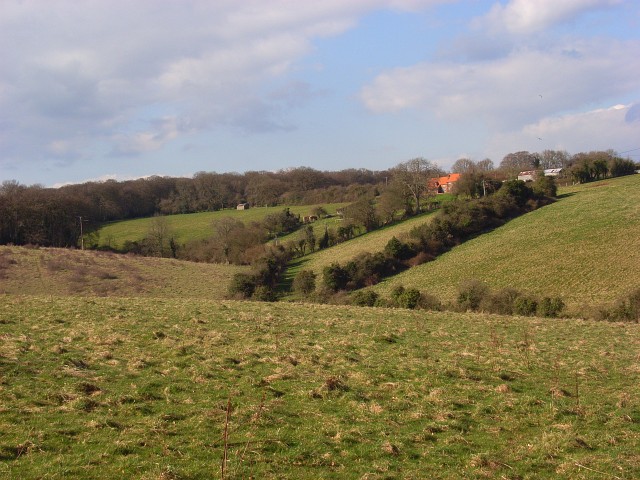
Pond Wood is a picturesque woodland located in Buckinghamshire, England. Spanning over an area of approximately 30 acres, it is situated near the village of Iver Heath. The wood is a popular destination for nature enthusiasts, hikers, and those seeking tranquility amidst the bustling city life.
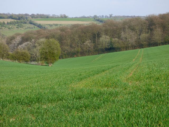
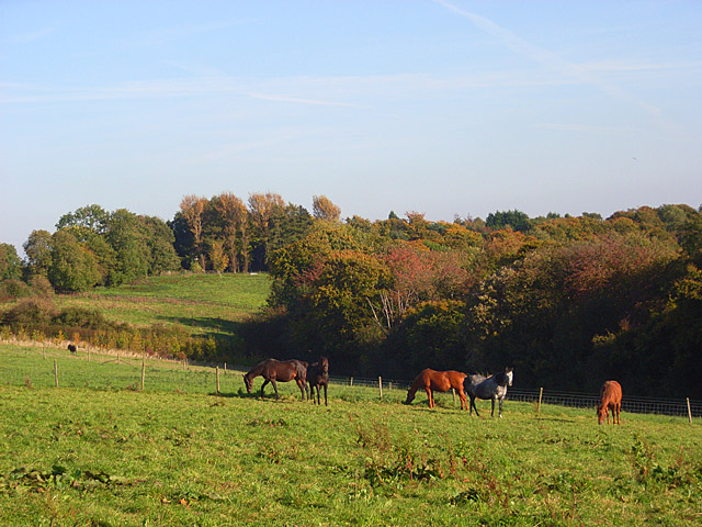
Characterized by its dense foliage and diverse flora, Pond Wood boasts a variety of tree species including oak, beech, birch, and willow. The woodland floor is adorned with a colorful carpet of wildflowers, creating a vibrant and enchanting atmosphere. The area is home to abundant wildlife, with sightings of deer, foxes, rabbits, and a myriad of bird species being common.
A standout feature of Pond Wood is the presence of several serene ponds, from which the woodland derives its name. These ponds provide a habitat for numerous aquatic creatures, such as frogs, newts, and dragonflies. The tranquil ambiance surrounding the ponds makes them an ideal spot for relaxation and meditation.
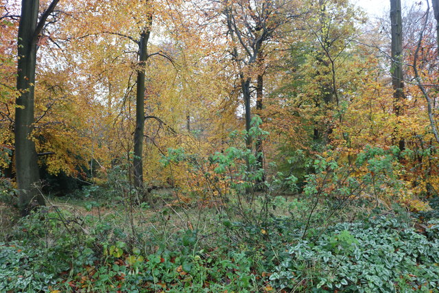
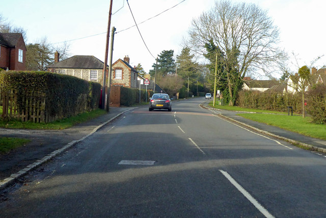
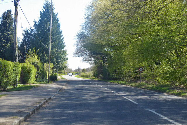
The wood is crisscrossed by a network of well-maintained footpaths, allowing visitors to explore its beauty at their own pace. These pathways meander through the towering trees, providing glimpses of sunlight filtering through the canopy. The wood also offers designated picnic areas, inviting visitors to enjoy a leisurely meal amidst nature's splendor.
Pond Wood is easily accessible, with ample parking facilities available nearby. It is a cherished local gem, attracting visitors from both the surrounding areas and farther afield. Whether one is seeking a peaceful retreat, a chance to reconnect with nature, or simply a scenic stroll, Pond Wood offers an idyllic setting for all.
If you have any feedback on the listing, please let us know in the comments section below.
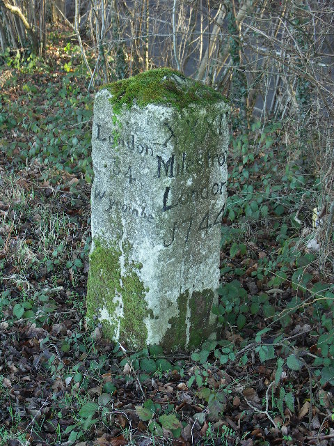
Pond Wood Images
Images are sourced within 2km of 51.655787/-0.84174569 or Grid Reference SU8095. Thanks to Geograph Open Source API. All images are credited.
Pond Wood is located at Grid Ref: SU8095 (Lat: 51.655787, Lng: -0.84174569)
Unitary Authority: Buckinghamshire
Police Authority: Thames Valley
What 3 Words
///ready.unrated.investor. Near Stokenchurch, Buckinghamshire
Nearby Locations
Related Wikis
Bottom Wood
Bottom Wood is a 14.5-hectare (36-acre) woodland in the English county of Buckinghamshire, located just north of the A40 near the hamlet of Studley Green...
Horsleys Green
Horsleys Green (often incorrectly referred to as Horsley's Green) is a hamlet located on the A40 between Piddington and Stokenchurch in Buckinghamshire...
Studley Green
Studley Green is a hamlet located on the A40 between Piddington and Stokenchurch in Buckinghamshire, England. The term 'Studley Green' is also used to...

Buttlers Hangings
Buttlers Hangings is a 3.9-hectare (9.6-acre) Site of Special Scientific Interest north of West Wycombe in Buckinghamshire. It is in the Chilterns Area...
Beacon's Bottom
Beacon's Bottom, also known as Bacon's Bottom, is a hamlet on the A40 between Piddington and Stokenchurch in England. Until 1895 it was administratively...

Bledlow Ridge
Bledlow Ridge is a village in the civil parish of Bledlow-cum-Saunderton in Buckinghamshire, England. In 2004 the population was 940. It is situated in...
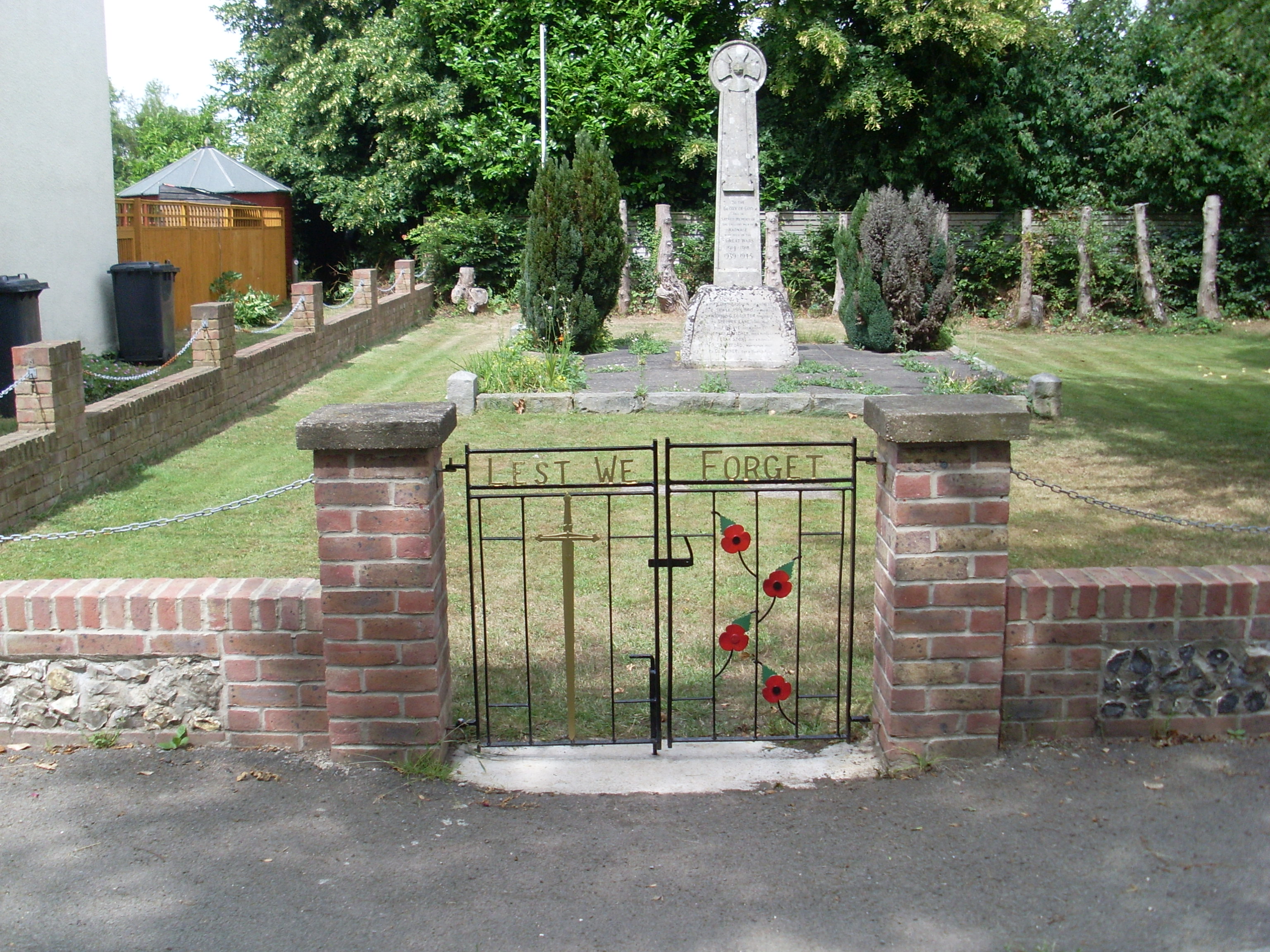
Radnage War Memorial
Radnage War Memorial is located at Mudds Bank, Radnage, Buckinghamshire, England. It is a grade II listed building with Historic England and commemorates...

Piddington, Buckinghamshire
Piddington is a hamlet in the parish of Piddington and Wheeler End in Buckinghamshire, England. It is located on the main A40 between Stokenchurch and...
Nearby Amenities
Located within 500m of 51.655787,-0.84174569Have you been to Pond Wood?
Leave your review of Pond Wood below (or comments, questions and feedback).