Green End

Settlement in Buckinghamshire

England

Green End

Farmland, Saunderton Wheat in Slough Bottom, a dry valley to the north of West Wycombe.
Farmland, Saunderton Credit: Andrew Smith

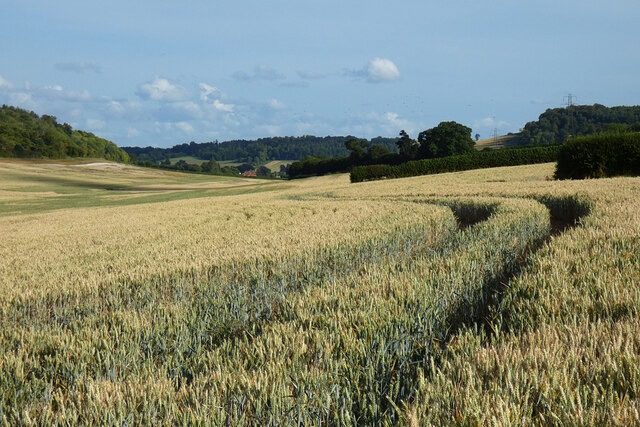
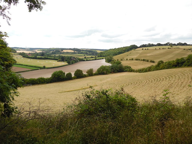
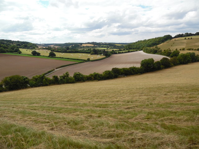
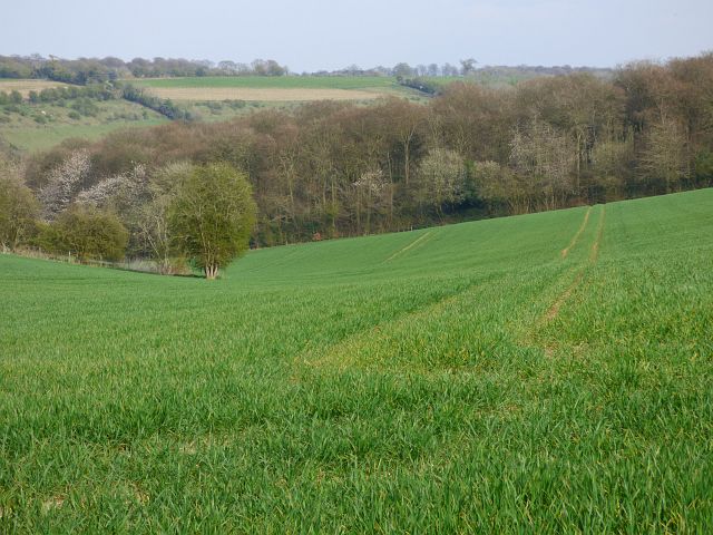
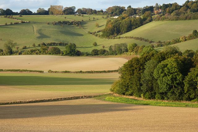
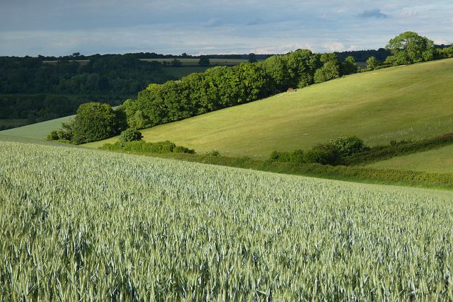
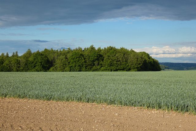
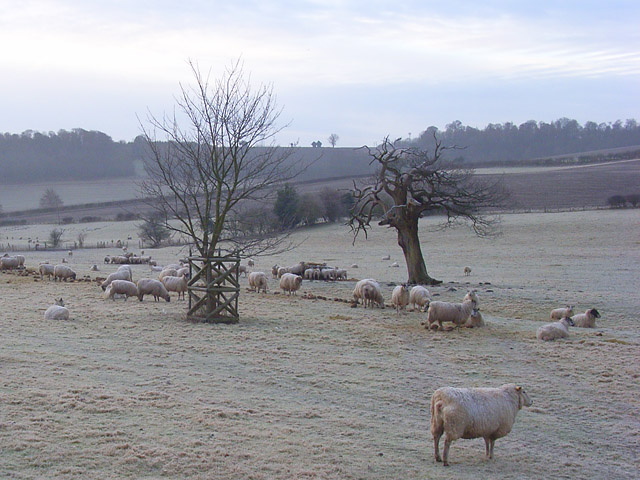
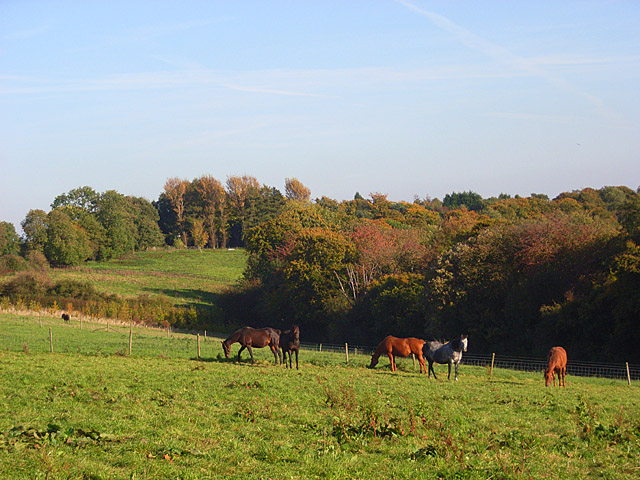
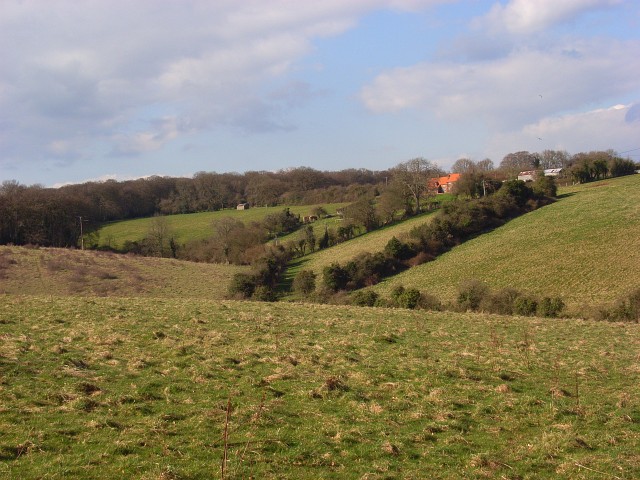
Green End is a small village located in the county of Buckinghamshire, England. Situated in the Aylesbury Vale district, it is nestled in the heart of the countryside, offering residents and visitors a tranquil and picturesque setting. The village is characterized by its charming rural landscape, with rolling hills, lush green fields, and a scattering of traditional cottages.

Despite its small size, Green End has a close-knit community and a rich history that dates back centuries. The village is known for its agricultural heritage, with farming playing a significant role in the local economy. The surrounding fields are often used for grazing livestock and cultivating crops, adding to the village's rustic charm.

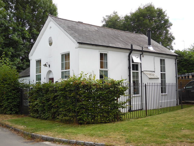
In terms of amenities, Green End offers a limited range of facilities. There is a village hall that serves as a hub for community events and gatherings, providing a space for locals to come together. However, for more extensive amenities and services, residents typically rely on nearby towns and villages.

The village's location provides an ideal base for those seeking to explore the surrounding area. The nearby Chiltern Hills, designated as an Area of Outstanding Natural Beauty, offer opportunities for outdoor activities such as hiking, cycling, and nature walks. Additionally, the historic market town of Aylesbury is within easy reach, providing a range of shopping, entertainment, and cultural attractions.

Overall, Green End offers a peaceful retreat for those seeking a rural lifestyle within Buckinghamshire's picturesque countryside. Its idyllic setting, strong sense of community, and proximity to natural beauty spots make it an appealing destination for residents and visitors alike.

If you have any feedback on the listing, please let us know in the comments section below.
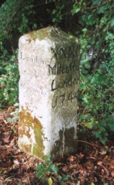
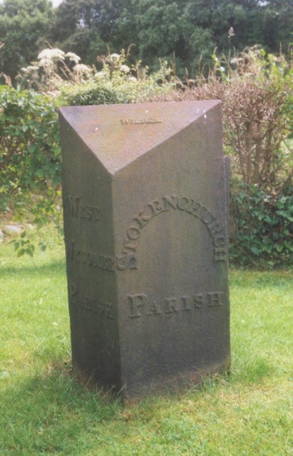
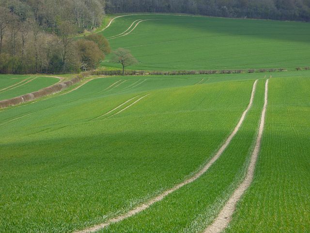
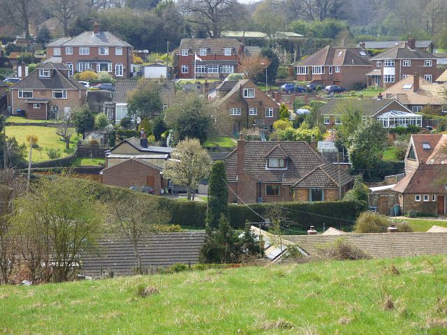
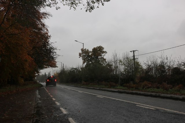
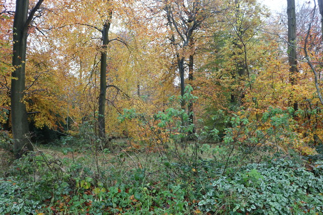
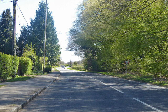
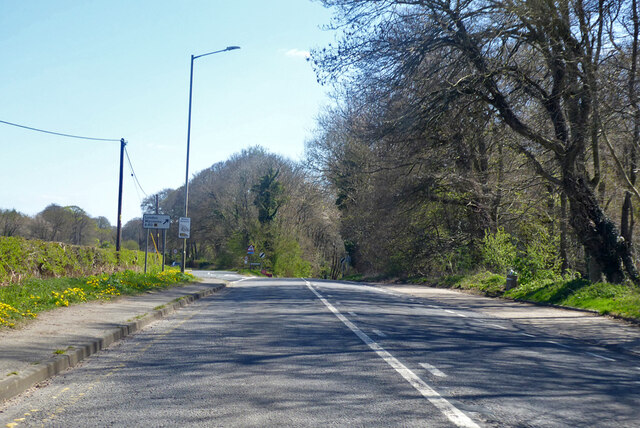
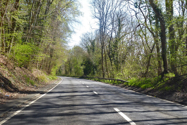
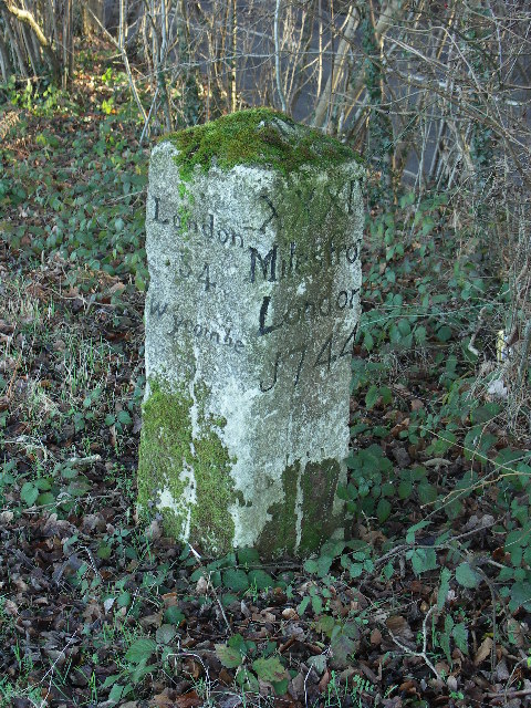
Green End Images

Images are sourced within 2km of 51.652763/-0.83969782 or Grid Reference SU8095. Thanks to Geograph Open Source API. All images are credited.

Farmland, Saunderton Wheat in Slough Bottom, a dry valley to the north of West Wycombe.
Farmland, Saunderton
Wheat in Slough Bottom, a dry valley to the north of West Wycombe.
Former Methodist Church, Radnage Situated in Green End Road at the junction with Radnage Common Road, this church dates from 1865 and was one of several churches in the High Wycombe Methodist Circuit. Services were held here each Sunday at 3.00pm until the final service took place on Sunday 23rd March 2003. It was then converted into a private dwelling.
Former Methodist Church, Radnage
Situated in Green End Road at the junction with Radnage Common Road, this church dates from 1865 and was one of several churches in the High Wycombe Methodist Circuit. Services were held here each Sunday at 3.00pm until the final service took place on Sunday 23rd March 2003. It was then converted into a private dwelling.
View from near Bledlow Ridge (1) This photo shows a typical Chiltern view looking north west towards Yoesden Wood and Radnage from the path between Bledlow Ridge and Bottom Wood.
View from near Bledlow Ridge (1)
This photo shows a typical Chiltern view looking north west towards Yoesden Wood and Radnage from the path between Bledlow Ridge and Bottom Wood.
View from near Bledlow Ridge (2) This photo shows the view looking north west from the path between Bledlow Ridge and Bottom Road. It is a typical Chiltern view with rolling fields and woods. On the horizon towards the left of the photo, can just be seen the BT radio tower West of Stokenchurch, SU7496 refers.
View from near Bledlow Ridge (2)
This photo shows the view looking north west from the path between Bledlow Ridge and Bottom Road. It is a typical Chiltern view with rolling fields and woods. On the horizon towards the left of the photo, can just be seen the BT radio tower West of Stokenchurch, SU7496 refers.
Old Milestone by the A40, south east of Beacon's Bottom Carved stone post by the A40, in parish of Stokenchurch (Wycombe District), Old Dashwood Hill; Studley Green, where old and new roads rejoin at top of Dashwood Hill, in bushes on wedge of ground formed where old road and new roads branch; North of new road, South of old road, on South side of old road. Beaconsfield diamond pillar, erected by the Beaconsfield & Stokenchurch turnpike trust in the 18th century. 

Inscription reads:-
: Oxford / 20 / Tetsworth / 8 : : London / 34 / Wycombe / 5 : : XXXIV / Miles from / London / 1744 :  
Rivet benchmark on top.

Grade II listed.
List Entry Number: 1125727 <span class="nowrap"><a title="https://historicengland.org.uk/listing/the-list/list-entry/1125727" rel="nofollow ugc noopener" href="https://historicengland.org.uk/listing/the-list/list-entry/1125727">Link</a><img style="margin-left:2px;" alt="External link" title="External link - shift click to open in new window" src="https://s1.geograph.org.uk/img/external.png" width="10" height="10"/></span>

Milestone Society National ID: BU_LW34
Old Milestone by the A40, south east of Beacon's Bottom
Carved stone post by the A40, in parish of Stokenchurch (Wycombe District), Old Dashwood Hill; Studley Green, where old and new roads rejoin at top of Dashwood Hill, in bushes on wedge of ground formed where old road and new roads branch; North of new road, South of old road, on South side of old road. Beaconsfield diamond pillar, erected by the Beaconsfield & Stokenchurch turnpike trust in the 18th century. Inscription reads:- : Oxford / 20 / Tetsworth / 8 : : London / 34 / Wycombe / 5 : : XXXIV / Miles from / London / 1744 : Rivet benchmark on top. Grade II listed. List Entry Number: 1125727 LinkExternal link Milestone Society National ID: BU_LW34
Old Boundary Marker by Old Dashwood Hill, Stokenchurch parish Parish Boundary Marker by the UC road, in parish of Stokenchurch (Wycombe District), Old Dashwood Hill, Studley Green, outside last house on South end of village, on wide well cut lawn, South side of road.

Inscription reads:-
: WEST / WYCOMBE / PARISH : : STOKENCHURCH / PARISH :
Maker:-
: WILDER :

Surveyed

Milestone Society National ID: BU_LW33pb
Old Boundary Marker by Old Dashwood Hill, Stokenchurch parish
Parish Boundary Marker by the UC road, in parish of Stokenchurch (Wycombe District), Old Dashwood Hill, Studley Green, outside last house on South end of village, on wide well cut lawn, South side of road. Inscription reads:- : WEST / WYCOMBE / PARISH : : STOKENCHURCH / PARISH : Maker:- : WILDER : Surveyed Milestone Society National ID: BU_LW33pb
Farmland, Stokenchurch A sweep of rolling arable farmland viewed from the footpath between Barn Wood and Watercroft Wood.
Farmland, Stokenchurch
A sweep of rolling arable farmland viewed from the footpath between Barn Wood and Watercroft Wood.
Beacon's Bottom, Stokenchurch Houses in St Framcis Road and Water End Road viewed from a footpath climbing from the latter.
Beacon's Bottom, Stokenchurch
Houses in St Framcis Road and Water End Road viewed from a footpath climbing from the latter.
Farmland, Studley Green, Stokenchurch Beside a footpath north of the A40. The dry valley winds its way down to Piddington and West Wycombe.
Farmland, Studley Green, Stokenchurch
Beside a footpath north of the A40. The dry valley winds its way down to Piddington and West Wycombe.
Wycombe Road, Studley Green
Thirds Wood, Studley Green
A40 Wycombe Road Towards Wycombe and London.
A40 Wycombe Road
Towards Wycombe and London.
A40 Wycombe Road Towards Wycombe and London, the old route peels off to the left, to rejoin at the bottom of the hill, it has an inconveniently steep and narrow section. The deviation appears to date from the 1930s.
A40 Wycombe Road
Towards Wycombe and London, the old route peels off to the left, to rejoin at the bottom of the hill, it has an inconveniently steep and narrow section. The deviation appears to date from the 1930s.
A40 Wycombe Road Towards Wycombe, here descending a hill on a deviation from the old route, which has a steeper and narrower descent. The deviation appears to date from the 1930s.
A40 Wycombe Road
Towards Wycombe, here descending a hill on a deviation from the old route, which has a steeper and narrower descent. The deviation appears to date from the 1930s.
Farmland, Radnage Arable fields in the valley bottom with pastures on the flank of Bledlow ridge beyond.
Farmland, Radnage
Arable fields in the valley bottom with pastures on the flank of Bledlow ridge beyond.
Farmland, Lane End A crop of wheat on the western flank of a dry valley to the south of Fillingdon Farm.
Farmland, Lane End
A crop of wheat on the western flank of a dry valley to the south of Fillingdon Farm.
Farmland, Stokenchurch The western side of Watercroft Wood seen across a field of wheat.
Farmland, Stokenchurch
The western side of Watercroft Wood seen across a field of wheat.
Pasture, West Wycombe Sheep grazing on a frosty morning beside the entrance to Cockshoot Farm.
Pasture, West Wycombe
Sheep grazing on a frosty morning beside the entrance to Cockshoot Farm.
Show me another place!

Green End is located at Grid Ref: SU8095 (Lat: 51.652763, Lng: -0.83969782)

Unitary Authority: Buckinghamshire

Police Authority: Thames Valley

What 3 Words

///menswear.stud.norms. Near Stokenchurch, Buckinghamshire

Related Wikis

Bottom Wood

Bottom Wood is a 14.5-hectare (36-acre) woodland in the English county of Buckinghamshire, located just north of the A40 near the hamlet of Studley Green...

Horsleys Green

Horsleys Green (often incorrectly referred to as Horsley's Green) is a hamlet located on the A40 between Piddington and Stokenchurch in Buckinghamshire...

Studley Green

Studley Green is a hamlet located on the A40 between Piddington and Stokenchurch in Buckinghamshire, England. The term 'Studley Green' is also used to...

Buttlers Hangings

Buttlers Hangings is a 3.9-hectare (9.6-acre) Site of Special Scientific Interest north of West Wycombe in Buckinghamshire. It is in the Chilterns Area...

Piddington, Buckinghamshire

Piddington is a hamlet in the parish of Piddington and Wheeler End in Buckinghamshire, England. It is located on the main A40 between Stokenchurch and...

Beacon's Bottom

Beacon's Bottom, also known as Bacon's Bottom, is a hamlet on the A40 between Piddington and Stokenchurch in England. Until 1895 it was administratively...

Piddington and Wheeler End

Piddington and Wheeler End is a small civil parish within Wycombe District Council, Buckinghamshire, England. Within the parish are the main hamlets of...

Bledlow Ridge

Bledlow Ridge is a village in the civil parish of Bledlow-cum-Saunderton in Buckinghamshire, England. In 2004 the population was 940. It is situated in...

Nearby Amenities

Located within 500m of 51.652763,-0.83969782
Crossing
Lat/Long: 51.6516171/-0.8381682
Direction: 115
Generator Method: photovoltaic
Generator Output Electricity: yes
Generator Solar Modules: 7
Generator Source: solar
Generator Type: solar_photovoltaic_panel
Location: roof
Power: generator
Lat/Long: 51.6536051/-0.838953
Direction: 130
Generator Method: photovoltaic
Generator Output Electricity: yes
Generator Solar Modules: 16
Generator Source: solar
Generator Type: solar_photovoltaic_panel
Location: roof
Power: generator
Lat/Long: 51.6536365/-0.8409299
Direction: 220
Generator Method: photovoltaic
Generator Output Electricity: yes
Generator Solar Modules: 16
Generator Source: solar
Generator Type: solar_photovoltaic_panel
Location: roof
Power: generator
Lat/Long: 51.6546073/-0.8445479
Direction: 200
Generator Method: photovoltaic
Generator Output Electricity: yes
Generator Solar Modules: 12
Generator Source: solar
Generator Type: solar_photovoltaic_panel
Location: roof
Power: generator
Lat/Long: 51.6551307/-0.8455452
Barrier: stile
Lat/Long: 51.648854/-0.8364067
The data included in this document is from www.openstreetmap.org. The data is made available under ODbL.

Have you been to Green End?

Leave your review of Green End below (or comments, questions and feedback).