Chawley Wood

Wood, Forest in Buckinghamshire

England

Chawley Wood

Farmland, Radnage Arable fields in the valley bottom with pastures on the flank of Bledlow ridge beyond.
Farmland, Radnage Credit: Andrew Smith

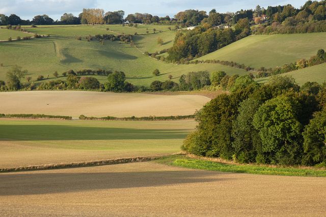
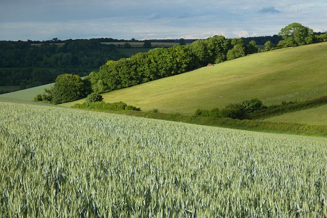
Chawley Wood is a picturesque woodland located in Buckinghamshire, England. Spread across an area of approximately 100 acres, it is renowned for its natural beauty and tranquil atmosphere. The wood is situated on the outskirts of the village of Cuxham, near the town of Watlington.

Chawley Wood is primarily composed of broadleaf trees such as oak, beech, and ash, creating a dense forest canopy that provides shade and shelter to a diverse range of flora and fauna. The wood is home to various species of birds, including woodpeckers, owls, and songbirds, making it a popular spot for birdwatching enthusiasts.

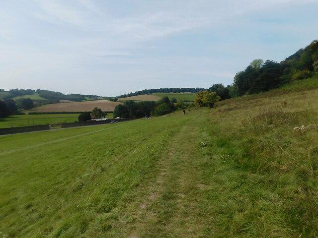
The woodland features several well-maintained walking trails, allowing visitors to explore its serene surroundings and admire the stunning flora that flourishes throughout the seasons. Bluebells, wild garlic, and primroses carpet the forest floor in spring, creating a vibrant and colorful display.

Chawley Wood is managed by the Chiltern Society, a local conservation organization dedicated to preserving the natural heritage of the Chiltern Hills area. The society works to maintain the woodland's ecological balance by implementing sustainable practices and organizing regular volunteer initiatives.

Visitors to Chawley Wood can enjoy a peaceful escape from the hustle and bustle of daily life, immersing themselves in the beauty of nature and taking in the fresh air. The wood offers a perfect setting for leisurely walks, family picnics, and nature photography, making it a cherished destination for both locals and tourists alike.

If you have any feedback on the listing, please let us know in the comments section below.
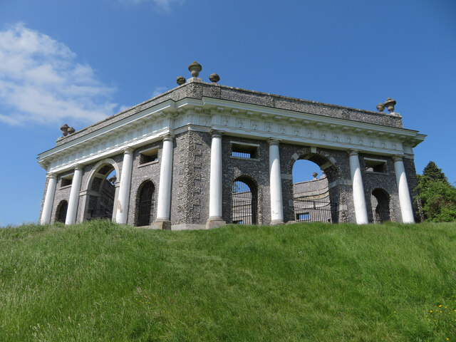
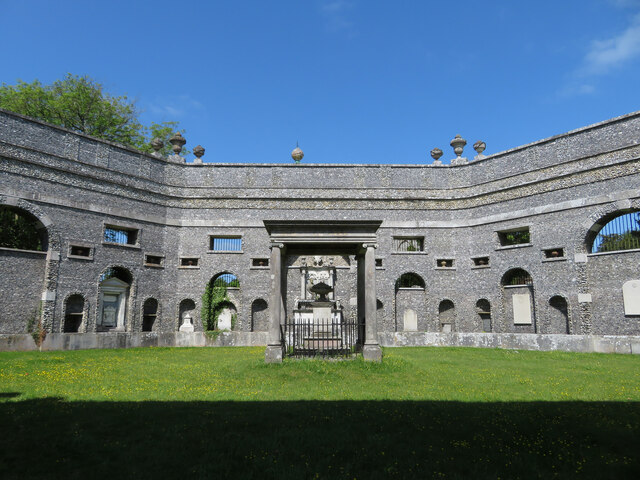
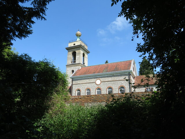
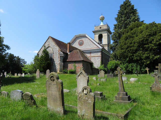
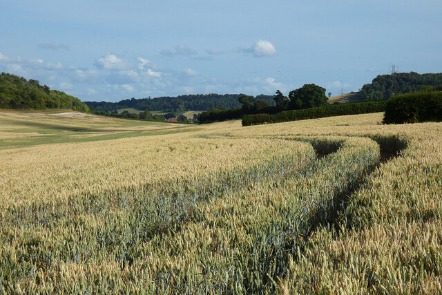
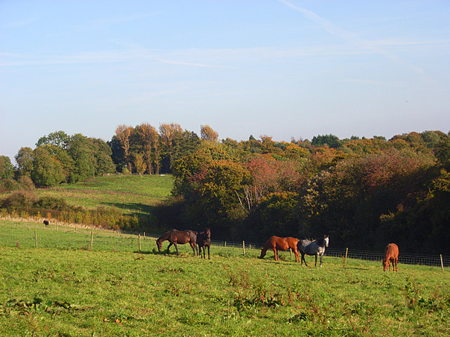
Chawley Wood Images

Images are sourced within 2km of 51.651204/-0.83203328 or Grid Reference SU8095. Thanks to Geograph Open Source API. All images are credited.

Farmland, Radnage Arable fields in the valley bottom with pastures on the flank of Bledlow ridge beyond.
Farmland, Radnage
Arable fields in the valley bottom with pastures on the flank of Bledlow ridge beyond.
Farmland, Lane End A crop of wheat on the western flank of a dry valley to the south of Fillingdon Farm.
Farmland, Lane End
A crop of wheat on the western flank of a dry valley to the south of Fillingdon Farm.
West Wycombe - St Lawrence's Church This hilltop "Summer Church" has medieval roots but was rebuilt in the 1760s and was reached by road after 1928. It is famed for its golden ball, Dashwood family and Hellfire Club connections.
<span class="nowrap"><a title="www.nationaltrust.org.uk" rel="nofollow ugc noopener" href="http://www.nationaltrust.org.uk">Link</a><img style="margin-left:2px;" alt="External link" title="External link - shift click to open in new window" src="https://s1.geograph.org.uk/img/external.png" width="10" height="10"/></span>
West Wycombe - St Lawrence's Church
This hilltop "Summer Church" has medieval roots but was rebuilt in the 1760s and was reached by road after 1928. It is famed for its golden ball, Dashwood family and Hellfire Club connections. LinkExternal link
West Wycombe Hill - Dashwood Mausoleum This roofless hexagonal structure was built in 1765 using local flint.
<span class="nowrap"><a title="www.nationaltrust.org.uk" rel="nofollow ugc noopener" href="http://www.nationaltrust.org.uk">Link</a><img style="margin-left:2px;" alt="External link" title="External link - shift click to open in new window" src="https://s1.geograph.org.uk/img/external.png" width="10" height="10"/></span>
West Wycombe Hill - Dashwood Mausoleum
This roofless hexagonal structure was built in 1765 using local flint. LinkExternal link
West Wycombe Hill - Dashwood Mausoleum This roofless hexagonal structure was built in 1765 using local flint. The centrepiece is an urn on pedestal dedicated to Sir Francis Dashwood's wife (d.1769).
<span class="nowrap"><a title="www.nationaltrust.org.uk" rel="nofollow ugc noopener" href="http://www.nationaltrust.org.uk">Link</a><img style="margin-left:2px;" alt="External link" title="External link - shift click to open in new window" src="https://s1.geograph.org.uk/img/external.png" width="10" height="10"/></span>
West Wycombe Hill - Dashwood Mausoleum
This roofless hexagonal structure was built in 1765 using local flint. The centrepiece is an urn on pedestal dedicated to Sir Francis Dashwood's wife (d.1769). LinkExternal link
West Wycombe Hill - Dashwood Mausoleum This monument on the wall commemorates Sir Francis Dashwood's mother (d.1710) and stepmother (d.1719).
<span class="nowrap"><a title="www.nationaltrust.org.uk" rel="nofollow ugc noopener" href="http://www.nationaltrust.org.uk">Link</a><img style="margin-left:2px;" alt="External link" title="External link - shift click to open in new window" src="https://s1.geograph.org.uk/img/external.png" width="10" height="10"/></span>
West Wycombe Hill - Dashwood Mausoleum
This monument on the wall commemorates Sir Francis Dashwood's mother (d.1710) and stepmother (d.1719). LinkExternal link
West Wycombe Hill path
Dashwood Mausoleum, West Wycombe Hill
St Lawrence Church, West Wycombe Hill
St Lawrence Church graveyard, West Wycombe Hill
Car park on West Wycombe Hill
Dashwood Mausoleum on West Wycombe Hill
St. Lawrence's church on West Wycombe Hill
Farmland, Saunderton Wheat in Slough Bottom, a dry valley to the north of West Wycombe.
Farmland, Saunderton
Wheat in Slough Bottom, a dry valley to the north of West Wycombe.
Show me another place!

Chawley Wood is located at Grid Ref: SU8095 (Lat: 51.651204, Lng: -0.83203328)

Unitary Authority: Buckinghamshire

Police Authority: Thames Valley

What 3 Words

///poem.caller.price. Near Stokenchurch, Buckinghamshire

Related Wikis

Buttlers Hangings

Buttlers Hangings is a 3.9-hectare (9.6-acre) Site of Special Scientific Interest north of West Wycombe in Buckinghamshire. It is in the Chilterns Area...

Piddington, Buckinghamshire

Piddington is a hamlet in the parish of Piddington and Wheeler End in Buckinghamshire, England. It is located on the main A40 between Stokenchurch and...

Bottom Wood

Bottom Wood is a 14.5-hectare (36-acre) woodland in the English county of Buckinghamshire, located just north of the A40 near the hamlet of Studley Green...

Piddington and Wheeler End

Piddington and Wheeler End is a small civil parish within Wycombe District Council, Buckinghamshire, England. Within the parish are the main hamlets of...

Nearby Amenities

Located within 500m of 51.651204,-0.83203328
Crossing
Lat/Long: 51.6516171/-0.8381682
Barrier: stile
Lat/Long: 51.648854/-0.8364067
Barrier: stile
Lat/Long: 51.6472585/-0.830164
The data included in this document is from www.openstreetmap.org. The data is made available under ODbL.

Have you been to Chawley Wood?

Leave your review of Chawley Wood below (or comments, questions and feedback).