Green End

Settlement in Buckinghamshire

England

Green End

Sunset from the Red Lion, Great Brickhill Looking over the countryside to the south of Milton Keynes as the sun sets. The image was taken from the garden of the Red Lion in Great Brickhill which is on considerably elevated ground (c.140m, 460' Cf the fields at about 75m, 246')
See <a href="https://www.geograph.org.uk/photo/7263677">SP9030 : View from the Red Lion, Great Brickhill just after sunset</a> for the view a few moments later.
Sunset from the Red Lion, Great Brickhill Credit: Rob Farrow

Green End is a charming village located in the county of Buckinghamshire, England. Situated in the Aylesbury Vale district, it is nestled amidst picturesque rolling countryside, offering tranquil surroundings and a peaceful way of life. The village is positioned approximately 9 miles southwest of Aylesbury, the county town.

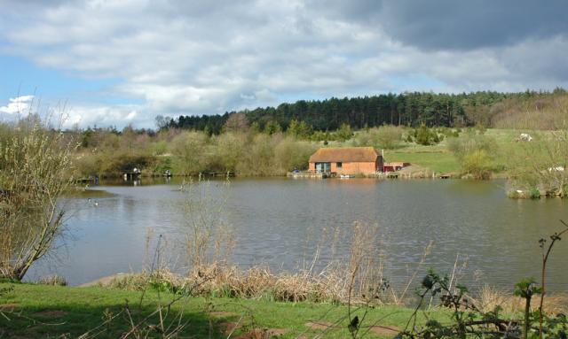
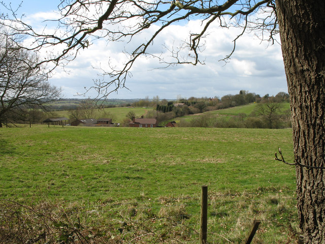
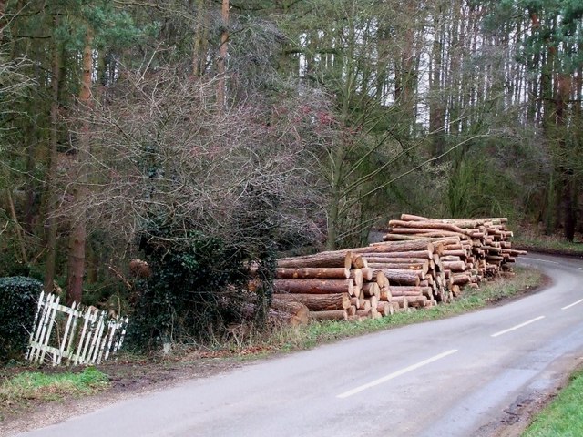
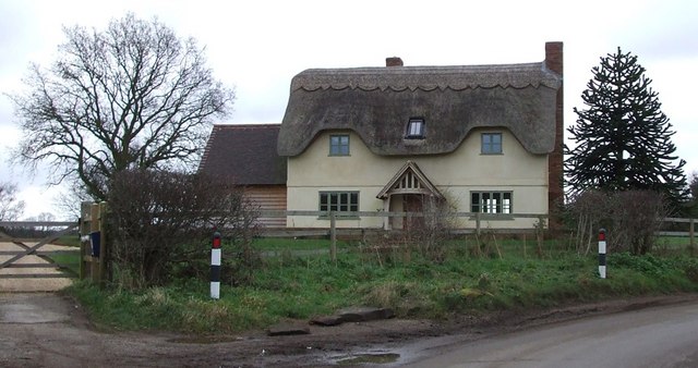
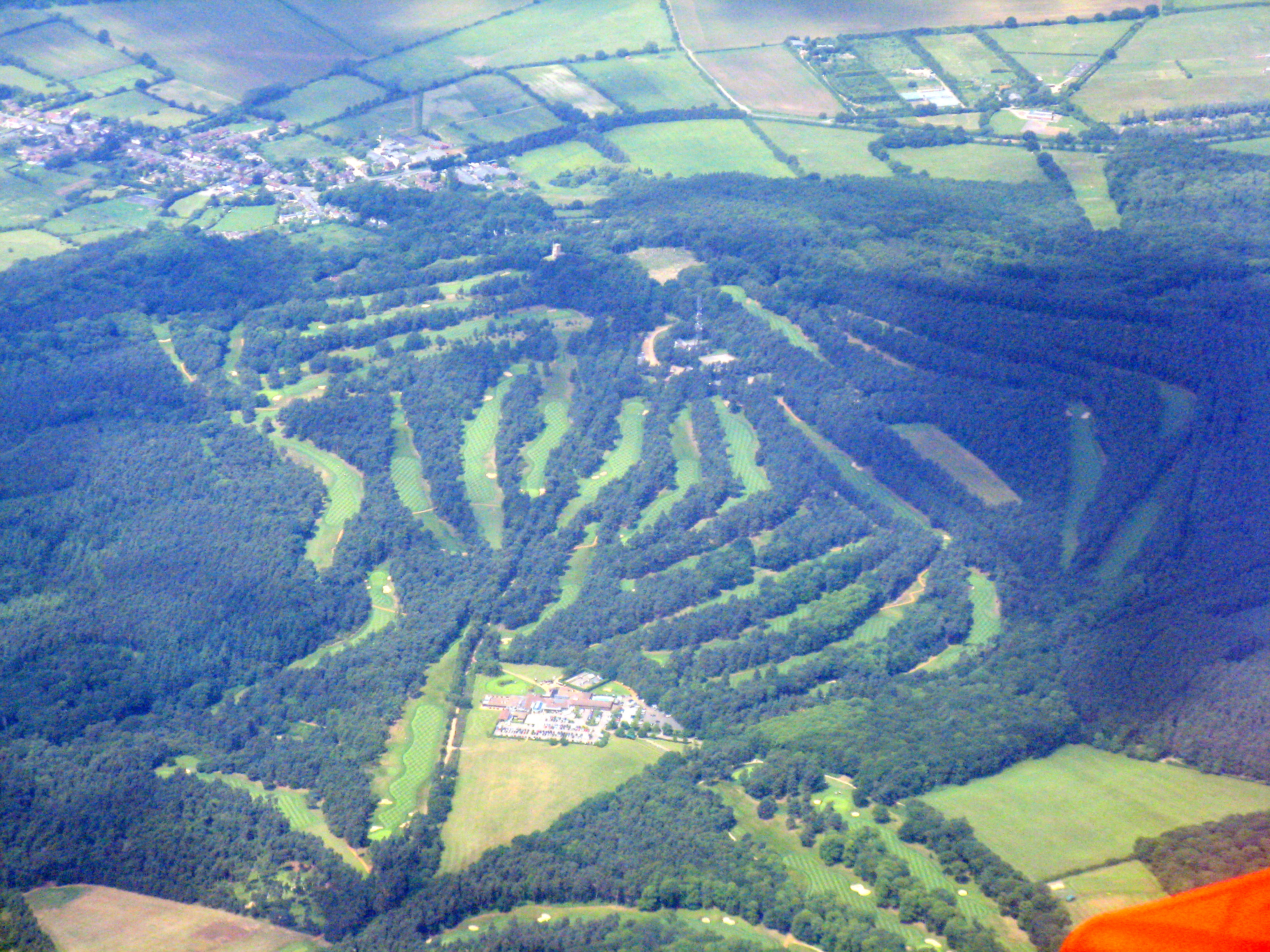
Green End is a close-knit community with a population of around 300 residents. It is known for its idyllic rural setting, characterized by lush green fields, ancient woodlands, and meandering streams. The architecture of the village is predominantly traditional, with charming stone cottages and well-maintained gardens that add to its appeal.

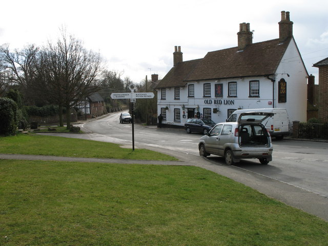
Although small in size, Green End boasts a vibrant community spirit. The village has a local pub, The Green Dragon, which serves as a social hub for both residents and visitors. Additionally, there is a village hall that hosts various community events and gatherings throughout the year.

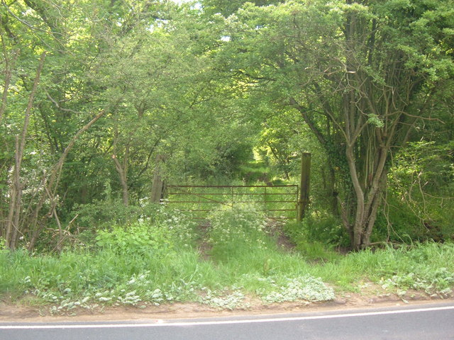
The surrounding countryside offers excellent opportunities for outdoor activities and leisure pursuits. Green End is home to several footpaths and bridleways, making it an ideal location for countryside walks, cycling, and horse riding. The nearby Chiltern Hills Area of Outstanding Natural Beauty provides further opportunities for exploration and enjoying the stunning landscapes.

Green End benefits from its proximity to nearby towns and cities. Aylesbury offers a range of amenities, including shopping centers, restaurants, and leisure facilities. The village is also conveniently located close to major road networks, allowing for easy access to other parts of Buckinghamshire and beyond.

Overall, Green End provides a peaceful and picturesque setting, making it an attractive place to live for those seeking a rural retreat within reach of essential amenities.

If you have any feedback on the listing, please let us know in the comments section below.
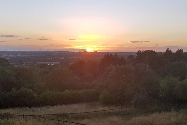
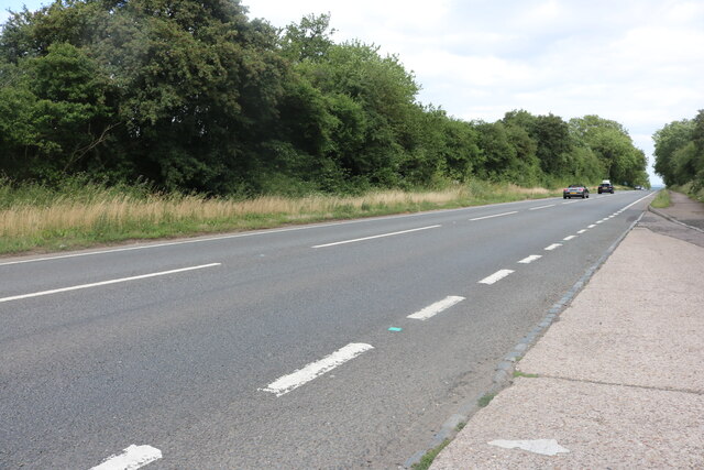
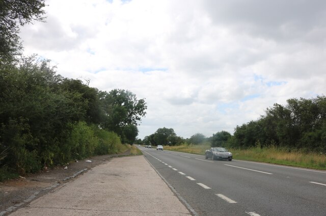
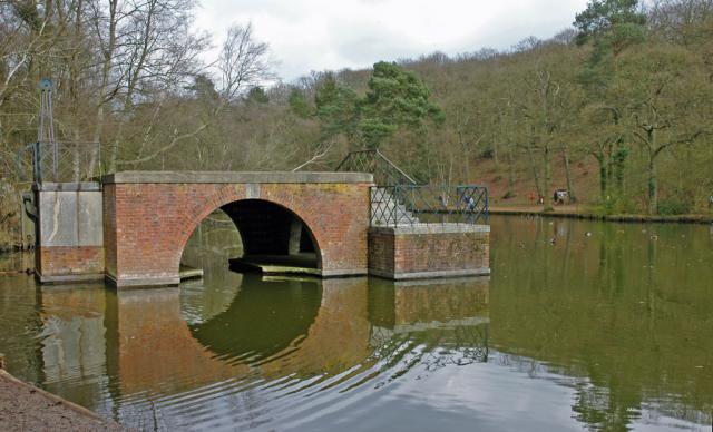
Green End Images

Images are sourced within 2km of 51.96706/-0.680027 or Grid Reference SP9030. Thanks to Geograph Open Source API. All images are credited.

Sunset from the Red Lion, Great Brickhill Looking over the countryside to the south of Milton Keynes as the sun sets. The image was taken from the garden of the Red Lion in Great Brickhill which is on considerably elevated ground (c.140m, 460' Cf the fields at about 75m, 246')
See <a href="https://www.geograph.org.uk/photo/7263677">SP9030 : View from the Red Lion, Great Brickhill just after sunset</a> for the view a few moments later.
Sunset from the Red Lion, Great Brickhill
Looking over the countryside to the south of Milton Keynes as the sun sets. The image was taken from the garden of the Red Lion in Great Brickhill which is on considerably elevated ground (c.140m, 460' Cf the fields at about 75m, 246') See SP9030 : View from the Red Lion, Great Brickhill just after sunset for the view a few moments later.
View from the Red Lion, Great Brickhill just after sunset Taken a few minutes after <a href="https://www.geograph.org.uk/photo/7263675">SP9030 : Sunset from the Red Lion, Great Brickhill</a> once the sun had set. See that photo for more information.
View from the Red Lion, Great Brickhill just after sunset
Taken a few minutes after SP9030 : Sunset from the Red Lion, Great Brickhill once the sun had set. See that photo for more information.
Watling Street, Sheeplane
Stockgrove Country Park The (artificial) lake was excavated in the 1920s and the boathouse was built soon afterwards.  The boathouse used to have a room above with a thatched roof - but it burned down in the 1960s.  Part of the drawbridge mechanism remains on the left hand side.
Stockgrove Country Park
The (artificial) lake was excavated in the 1920s and the boathouse was built soon afterwards. The boathouse used to have a room above with a thatched roof - but it burned down in the 1960s. Part of the drawbridge mechanism remains on the left hand side.
Fishing Pond & the Greensand Ridge.
Great Brickhill The centre of Great Brickhill with old style sign post, village pub and, just past the junction, a thatched barn converted to housing.   The barn and the wall beyond have buttresses to stop them falling into the road.
Great Brickhill
The centre of Great Brickhill with old style sign post, village pub and, just past the junction, a thatched barn converted to housing. The barn and the wall beyond have buttresses to stop them falling into the road.
Stoke Lane A steep climb up the last few hundred yards of Stoke Lane past houses into Great Brickhill.   The lane is an unmetalled bridleway for much of its route from Stoke Hammond.
Stoke Lane
A steep climb up the last few hundred yards of Stoke Lane past houses into Great Brickhill. The lane is an unmetalled bridleway for much of its route from Stoke Hammond.
Cromwell Cottages On Ivy Lane, Great Brickhill, stands a Thatched barn that has been converted to cottages.   Troops of the Earl of Essex were reputedly billeted in the barn during the English Civil war in 1643.
Cromwell Cottages
On Ivy Lane, Great Brickhill, stands a Thatched barn that has been converted to cottages. Troops of the Earl of Essex were reputedly billeted in the barn during the English Civil war in 1643.
Live life gently Carved seat beside the Three Locks / Great Brickhill circular walk.  The seat faces a woodland lake.  The carving includes acorns at the front whilst the face on the back tells us 'This life is good. Live it gently with fire and always with hope'.
Live life gently
Carved seat beside the Three Locks / Great Brickhill circular walk. The seat faces a woodland lake. The carving includes acorns at the front whilst the face on the back tells us 'This life is good. Live it gently with fire and always with hope'.
Kiln Farm View from the Three Locks / Great Brickhill circular walk.  Kiln Farm nestles in the valley, whilst the village of Bragenham is visible amongst the trees behind.
Kiln Farm
View from the Three Locks / Great Brickhill circular walk. Kiln Farm nestles in the valley, whilst the village of Bragenham is visible amongst the trees behind.
St Mary Magdalen, Little Brickhill Located at the highest point of the village, St Mary's church is on the corner of the Roman Road "Watling Street" and the old Woburn Road, which was removed as part of the A5 Bypass.
St Mary Magdalen, Little Brickhill
Located at the highest point of the village, St Mary's church is on the corner of the Roman Road "Watling Street" and the old Woburn Road, which was removed as part of the A5 Bypass.
Old Green Man Public House Located on the old A5 road Watling Street in Little Brickhill.
Old Green Man Public House
Located on the old A5 road Watling Street in Little Brickhill.
Gated track south of Little Brickhill This track has a rather rickety-looking gate across it tied up with a thick black strap. According to the map it's a track into Brookfield Wood - but there's not much evidence of the wood on the lefthand side, though it may have been recently replanted after felling.
Gated track south of Little Brickhill
This track has a rather rickety-looking gate across it tied up with a thick black strap. According to the map it's a track into Brookfield Wood - but there's not much evidence of the wood on the lefthand side, though it may have been recently replanted after felling.
Woodpile near Great Brickhill The land to the east of Great Brickhill is quite wooded. As can be seen, some of this wood has been harvested and is lying beside the lane presumably awaiting collection.
Woodpile near Great Brickhill
The land to the east of Great Brickhill is quite wooded. As can be seen, some of this wood has been harvested and is lying beside the lane presumably awaiting collection.
Waterworks Building, Little Brickhill Behind this little Waterworks building can be seen rising the embankment of one of two covered reservoirs here.
Waterworks Building, Little Brickhill
Behind this little Waterworks building can be seen rising the embankment of one of two covered reservoirs here.
Hanginglane Firs Hanginglane Firs is something of a misnomer really, as these trees are decidedly deciduous (as opposed to evergreen firs). It looks as though the ground here is being prepared for some kind of use, such as a small pipeline or cable to be laid; alternatively it may be the remnants of a continuation of <a href="https://www.geograph.org.uk/photo/313322">SP9031 : Sawpit Lane</a> which led through to Goodman's Wood on the western end of Duncombe Wood.
Hanginglane Firs
Hanginglane Firs is something of a misnomer really, as these trees are decidedly deciduous (as opposed to evergreen firs). It looks as though the ground here is being prepared for some kind of use, such as a small pipeline or cable to be laid; alternatively it may be the remnants of a continuation of SP9031 : Sawpit Lane which led through to Goodman's Wood on the western end of Duncombe Wood.
Blue Gate Farm This attractive thatched farmhouse is just out of Great Brickhill on a 90º bend on Heath Road and just sneaks into this gridsquare. A track (and public footpath) leads to Hillbottom Spinney from this point.
Blue Gate Farm
This attractive thatched farmhouse is just out of Great Brickhill on a 90º bend on Heath Road and just sneaks into this gridsquare. A track (and public footpath) leads to Hillbottom Spinney from this point.
Show me another place!

Green End is located at Grid Ref: SP9030 (Lat: 51.96706, Lng: -0.680027)

Unitary Authority: Buckinghamshire

Police Authority: Thames Valley

What 3 Words

///ocean.couch.misty. Near Heath and Reach, Bedfordshire

Related Wikis

Great Brickhill

Great Brickhill is a village and civil parish in the unitary authority area of Buckinghamshire, England. It is on the border with the City of Milton Keynes...

Little Brickhill

Little Brickhill is a village and civil parish in the unitary authority area of the City of Milton Keynes, Buckinghamshire, England. Located immediately...

Stockgrove Country Park

Stockgrove Country Park is located in England on the Bedfordshire/Buckinghamshire border in the parish of Heath and Reach. Stockgrove Park's 80 acres is...

Kings and Bakers Woods and Heaths

Kings and Bakers Woods and Heaths is a 212.8-hectare (526-acre) Site of Special Scientific Interest (SSSI) between Heath and Reach in Bedfordshire and...

King's Wood, Heath and Reach

King's Wood is an area of ancient woodland in the parish of Heath and Reach in Bedfordshire, England. The wood lies north of the village of Heath and...

2016 Women's British Open

The 2016 Ricoh Women's British Open was played 28–31 July in England at the Woburn Golf and Country Club near Milton Keynes, Buckinghamshire, northwest...

Woburn Golf and Country Club

Woburn Golf Club is a golf club in England located in Little Brickhill, near Milton Keynes within the county of Bedfordshire, about fifty miles (80 km...

2019 Women's British Open

The 2019 AIG Women's British Open was played from 1–4 August in England at Woburn Golf Club in Milton Keynes, Buckinghamshire, fifty miles (80 km) northwest...

Nearby Amenities

Located within 500m of 51.96706,-0.680027
Great Brickhill
Place: village
Lat/Long: 51.9650517/-0.6854483
Designation: public_footpath
Foot: designated
Lat/Long: 51.9685537/-0.6762047
Man Made: tower
Source: bing
Tower Type: communication
Lat/Long: 51.9661698/-0.6813959
Man Made: tower
Source: bing
Tower Type: communication
Lat/Long: 51.965697/-0.6803314
Post Box
Brand: Royal Mail
Brand Wikidata: Q638098
Brand Wikipedia: en:Royal Mail
Collection Times: Mo-Fr 16:15; Sa 10:00
Operator: Royal Mail
Operator Wikidata: Q638098
Post Box Type: lamp
Ref: MK17 93
Royal Cypher: EIIR
Royal Cypher Wikidata: Q33102113
Source: survey
Lat/Long: 51.9673905/-0.6821299
Direction: 255
Generator Method: photovoltaic
Generator Output Electricity: yes
Generator Solar Modules: 16
Generator Source: solar
Generator Type: solar_photovoltaic_panel
Location: roof
Power: generator
Lat/Long: 51.967208/-0.6837476
Direction: WSW
Generator Method: photovoltaic
Generator Output Electricity: yes
Generator Solar Modules: 48
Generator Source: solar
Generator Type: solar_photovoltaic_panel
Location: roof
Power: generator
Lat/Long: 51.9671739/-0.6870742
Direction: SSW
Generator Method: photovoltaic
Generator Output Electricity: yes
Generator Solar Modules: 16
Generator Source: solar
Generator Type: solar_photovoltaic_panel
Location: roof
Power: generator
Lat/Long: 51.9636692/-0.6840337
Direction: 195
Generator Method: photovoltaic
Generator Output Electricity: yes
Generator Solar Modules: 16
Generator Source: solar
Generator Type: solar_photovoltaic_panel
Location: roof
Power: generator
Lat/Long: 51.9664484/-0.6860574
Direction: S
Generator Method: photovoltaic
Generator Output Electricity: yes
Generator Solar Modules: 16
Generator Source: solar
Generator Type: solar_photovoltaic_panel
Location: roof
Power: generator
Lat/Long: 51.9635004/-0.6841791
Direction: 215
Generator Method: photovoltaic
Generator Output Electricity: yes
Generator Solar Modules: 16
Generator Source: solar
Generator Type: solar_photovoltaic_panel
Location: roof
Power: generator
Lat/Long: 51.9649375/-0.6858073
Direction: S
Generator Method: photovoltaic
Generator Output Electricity: yes
Generator Solar Modules: 9
Generator Source: solar
Generator Type: solar_photovoltaic_panel
Location: roof
Power: generator
Lat/Long: 51.9661755/-0.6866735
Power: pole
Lat/Long: 51.9644993/-0.6789779
Power: pole
Lat/Long: 51.9648081/-0.6805398
Power: pole
Lat/Long: 51.9659394/-0.6807153
Power: pole
Lat/Long: 51.9668612/-0.6808653
Barrier: kissing_gate
Source: GPS, observation
Lat/Long: 51.9635715/-0.6768447
Barrier: kissing_gate
Source: GPS, observation
Lat/Long: 51.964285/-0.6780457
Barrier: kissing_gate
Source: GPS, observation
Lat/Long: 51.9652051/-0.6819335
The data included in this document is from www.openstreetmap.org. The data is made available under ODbL.

Have you been to Green End?

Leave your review of Green End below (or comments, questions and feedback).