Gower Dale

Valley in Yorkshire Ryedale

England

Gower Dale

Hilltop pasture above Stoney Gill Hole Near level pasture on the hilltop, but the fence to the left is just above a very steep drop into the narrow little valley that is Stoney Gill Hole. The three ridges of Hawnby Hill, Easterside and Roppa Edge in the distance.
Hilltop pasture above Stoney Gill Hole Credit: Gordon Hatton

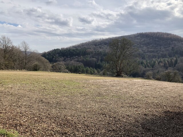
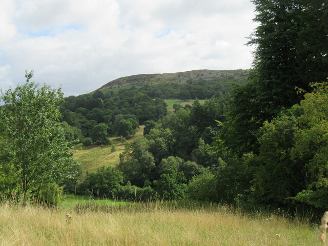
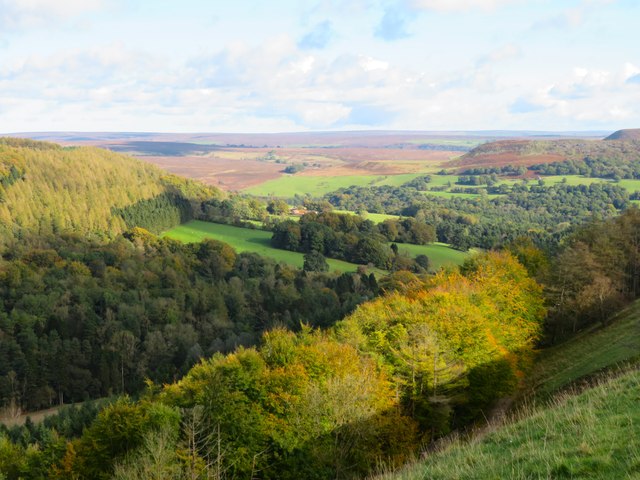
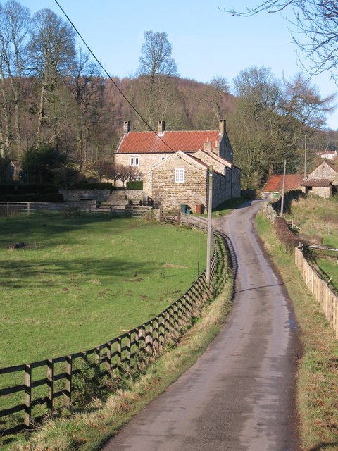
Gower Dale is a scenic valley located in the county of Yorkshire, England. Nestled amidst the picturesque countryside, this idyllic valley is renowned for its natural beauty and tranquil ambiance, attracting visitors from near and far.

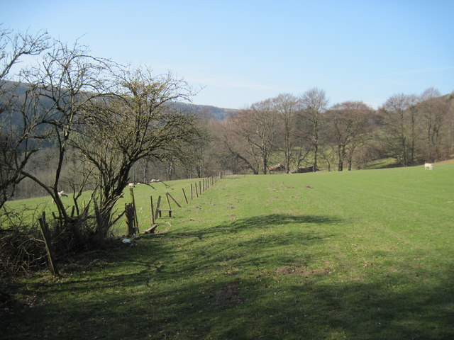
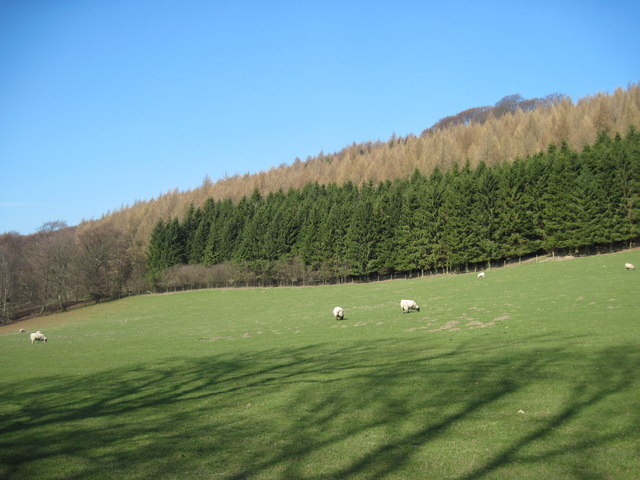
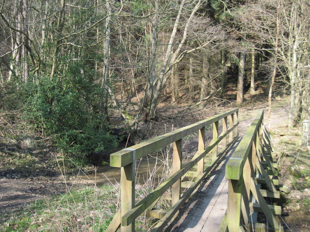
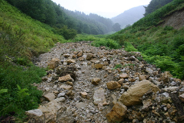
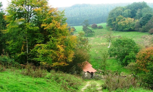
Surrounded by rolling hills and lush greenery, Gower Dale offers a peaceful escape from the hustle and bustle of city life. The valley is characterized by its meandering river, which flows through the landscape, creating a serene atmosphere. The river is frequented by wildlife, including ducks, swans, and various species of fish, making it a haven for nature enthusiasts and birdwatchers.

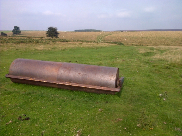
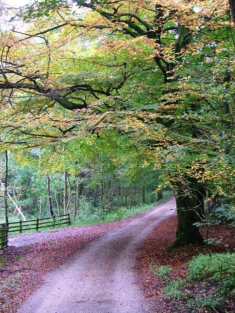
The valley is also home to a diverse range of flora, with colorful wildflowers adorning the meadows during spring and summer. Walking trails wind through the valley, allowing visitors to explore its natural wonders at their own pace. These trails offer breathtaking views of the surrounding countryside and provide opportunities for outdoor activities such as hiking, cycling, and picnicking.

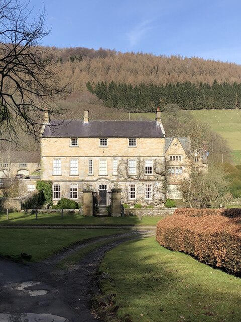
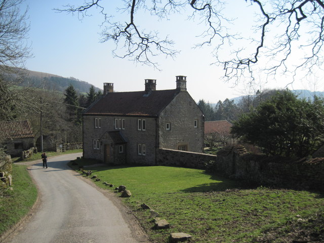
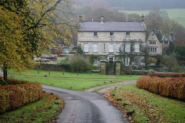
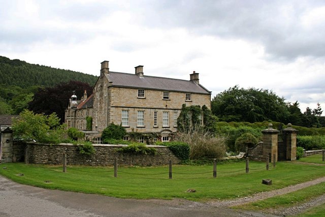
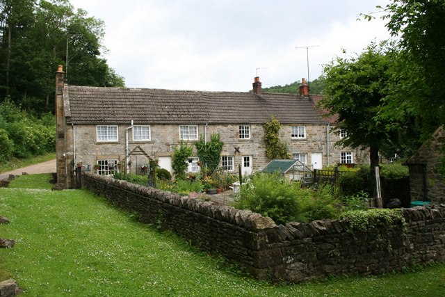
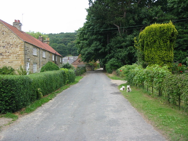
Gower Dale is steeped in history, with several historical landmarks dotted throughout the area. The valley is home to a number of charming villages, each with its own unique character and architecture. These villages boast quaint cottages, ancient churches, and traditional pubs, offering a glimpse into the region's rich heritage.

In summary, Gower Dale is a captivating destination that showcases the beauty of Yorkshire's countryside. With its stunning landscapes, abundant wildlife, and historical charm, it is a must-visit for those seeking a peaceful retreat in the heart of nature.

If you have any feedback on the listing, please let us know in the comments section below.
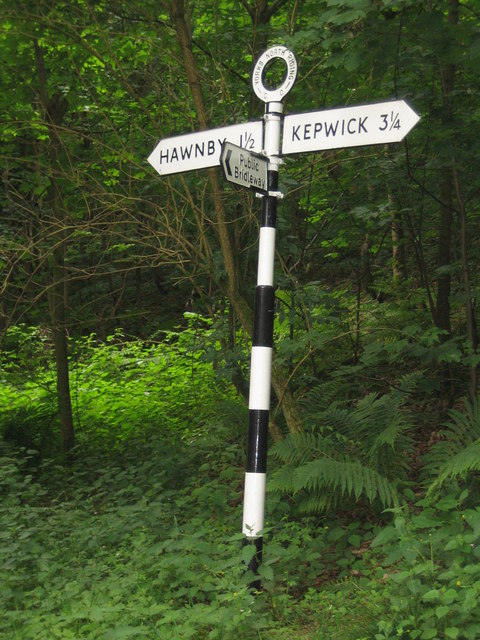
Gower Dale Images

Images are sourced within 2km of 54.294069/-1.1980047 or Grid Reference SE5289. Thanks to Geograph Open Source API. All images are credited.

Hilltop pasture above Stoney Gill Hole Near level pasture on the hilltop, but the fence to the left is just above a very steep drop into the narrow little valley that is Stoney Gill Hole. The three ridges of Hawnby Hill, Easterside and Roppa Edge in the distance.
Hilltop pasture above Stoney Gill Hole
Near level pasture on the hilltop, but the fence to the left is just above a very steep drop into the narrow little valley that is Stoney Gill Hole. The three ridges of Hawnby Hill, Easterside and Roppa Edge in the distance.
View Across Stubble Field To Coomb Hill
Arden Hall Seat of the Earl of Mexborough, purchased in 1897 from the Tancred family who had owned the property for the previous 300 years. Grade II listed.
Arden Hall
Seat of the Earl of Mexborough, purchased in 1897 from the Tancred family who had owned the property for the previous 300 years. Grade II listed.
Near New Hall Looking east from the road towards Hawnby Hill.
Near New Hall
Looking east from the road towards Hawnby Hill.
Above the Hawnby road The line of trees below the camera position mark the line of the Kepwick to Hawnby road, which for some 2.5mls across the moor is rough surfaced and unsuitable for cars. The view is towards the fields around Arden Hall, the valley of the River Rye and Hawnby Hill beyond to the right.
Above the Hawnby road
The line of trees below the camera position mark the line of the Kepwick to Hawnby road, which for some 2.5mls across the moor is rough surfaced and unsuitable for cars. The view is towards the fields around Arden Hall, the valley of the River Rye and Hawnby Hill beyond to the right.
The road to Kepwick The road from Hawnby to Kepwick on the approach to New Hall. Motorists would be well advised not to attempt to drive this way to Kepwick as the tarmac finishes at Arden Hall, after which there is about 3 miles of rough track before tarmac reappears at the top of Kepwick Bank. The photographer does admit to driving a VW Beetle across here several decades ago.
The road to Kepwick
The road from Hawnby to Kepwick on the approach to New Hall. Motorists would be well advised not to attempt to drive this way to Kepwick as the tarmac finishes at Arden Hall, after which there is about 3 miles of rough track before tarmac reappears at the top of Kepwick Bank. The photographer does admit to driving a VW Beetle across here several decades ago.
Footpath  through  field  north  of  Arden  Hall Path from Mount Pleasant Farm to North Moor Wood
Footpath through field north of Arden Hall
Path from Mount Pleasant Farm to North Moor Wood
Sheep  grazing  below  North  Moor  Wood From the footpath to Mount Pleasant Farm
Sheep grazing below North Moor Wood
From the footpath to Mount Pleasant Farm
Footbridge  and  Ford  in  Half  Moon  Plantation On the Footpath/ Bridleway south to New Hall
Footbridge and Ford in Half Moon Plantation
On the Footpath/ Bridleway south to New Hall
New  Hall  on  the  Arden  to  Hawnby  road
New Hall on the Arden to Hawnby road
Public Bridleway near Stoney Gill Hole
Stoney Gill Hole, 2005 The previous year a walk down Stoney Gill Hole meant a pleasant stroll down a grassy slope. After the devastating flash floods in July 2005, a journey down Stoney Gill Hole was transformed into a difficult and dangerous clamber over loose rocks and boulders.
Stoney Gill Hole, 2005
The previous year a walk down Stoney Gill Hole meant a pleasant stroll down a grassy slope. After the devastating flash floods in July 2005, a journey down Stoney Gill Hole was transformed into a difficult and dangerous clamber over loose rocks and boulders.
Arden Hall The imposing, part seventeenth century, three-storied mansion standing on the site of a twelfth century priory.
Arden Hall
The imposing, part seventeenth century, three-storied mansion standing on the site of a twelfth century priory.
Well restored traditional North Yorkshire road sign The roadsign is located at the junction leading down to Arden Hall, the home of the Earl of Mexborough.
Well restored traditional North Yorkshire road sign
The roadsign is located at the junction leading down to Arden Hall, the home of the Earl of Mexborough.
Looking Down to Thorodale Beck and the Old Mill
Track to Kepwick, Near Arden Hall
Arden Hall, Near Hawnby, North York Moors
Arden Hall Cottages
Arden Hall Cottages
Show me another place!

Gower Dale is located at Grid Ref: SE5289 (Lat: 54.294069, Lng: -1.1980047)

Division: North Riding

Administrative County: North Yorkshire

District: Ryedale

Police Authority: North Yorkshire

What 3 Words

///chromatic.given.causes. Near Bilsdale, North Yorkshire

Related Wikis

Hawnby

Hawnby is a small crossroads village and civil parish in Ryedale in the North York Moors National Park, North Yorkshire, England. The village is about...

Holy Trinity Church, Boltby

Holy Trinity Church, Boltby is a parish church in the Church of England: 81  in Boltby. == History == The first chapel was founded in 1409 and was rebuilt...

Boltby

Boltby is a village and civil parish in the Hambleton District of North Yorkshire, England. It is on the edge of the North York Moors National Park at...

Laskill

Laskill is a small hamlet in Bilsdale, 5 miles (8 km) north-west of Helmsley, North Yorkshire, England, on the road from Helmsley to Stokesley and is located...

Cold Kirby

Cold Kirby is a village and civil parish in the Ryedale district of North Yorkshire, England. The population at the 2011 census (including Angram Grange...

Old Byland and Scawton

Old Byland and Scawton is a civil parish in the Ryedale district, in the county of North Yorkshire, England. The parish includes the villages of Old Byland...

Kirby Knowle

Kirby Knowle is a village and civil parish in Hambleton District of North Yorkshire, England, on the border of the North Yorkshire Moors and near Upsall...

Kepwick

Kepwick is a village and civil parish in the Hambleton district of North Yorkshire, England, on the North York Moors and near the A19. The population according...

Nearby Amenities

Located within 500m of 54.294069,-1.1980047
High Buildings
Place: isolated_dwelling
Lat/Long: 54.2971892/-1.1936458
Natural: spring
Lat/Long: 54.2937105/-1.1917699
Natural: spring
Lat/Long: 54.293662/-1.1914293
Entrance: yes
Lat/Long: 54.2898286/-1.1995987
The data included in this document is from www.openstreetmap.org. The data is made available under ODbL.

Have you been to Gower Dale?

Leave your review of Gower Dale below (or comments, questions and feedback).