Sunny Bank Wood
Wood, Forest in Yorkshire Ryedale
England
Sunny Bank Wood

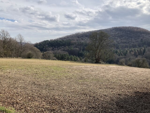
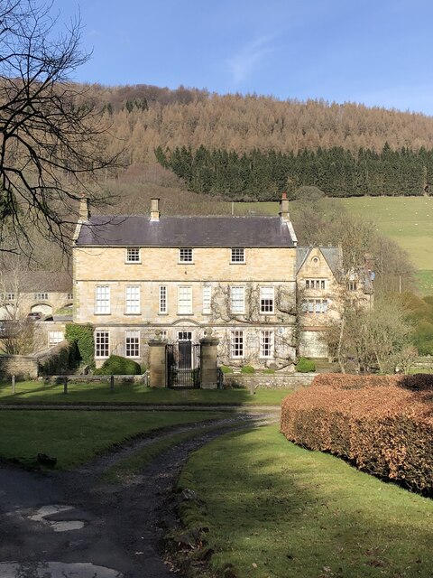
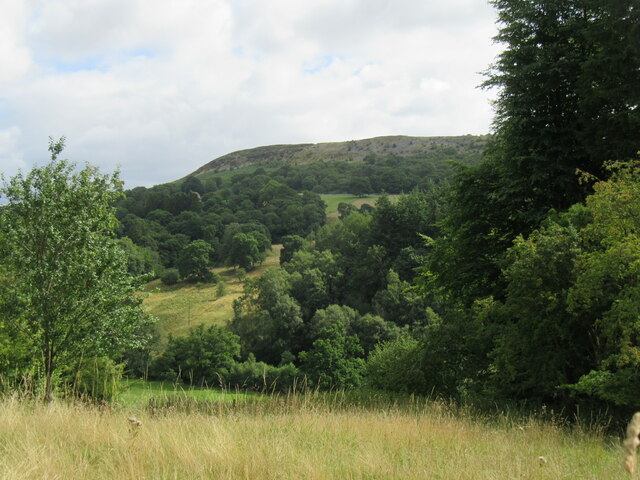
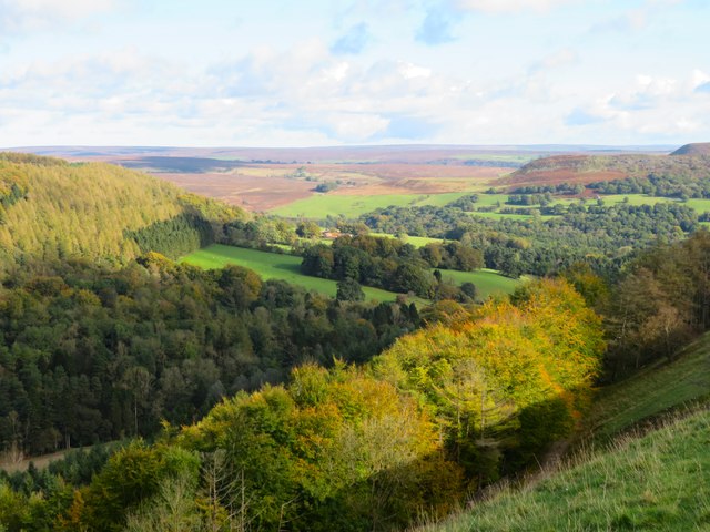
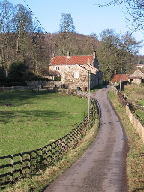
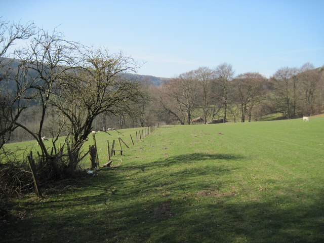
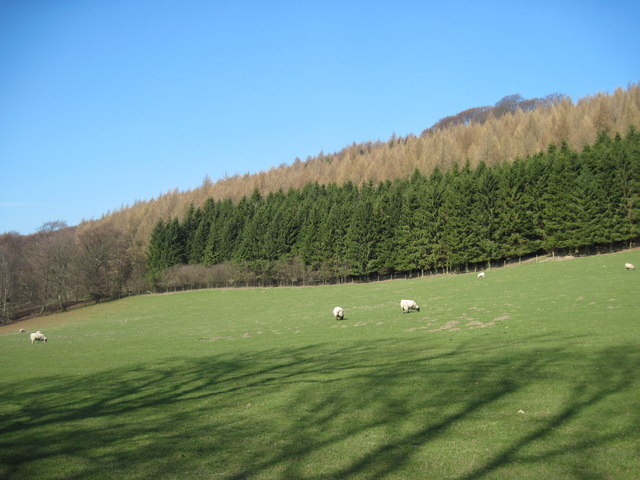
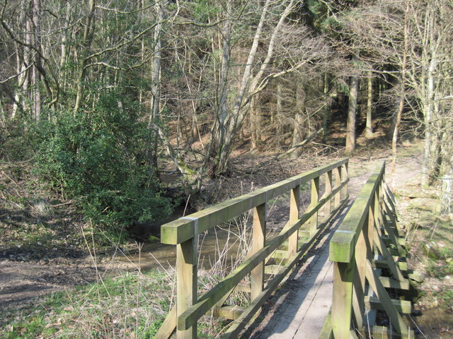
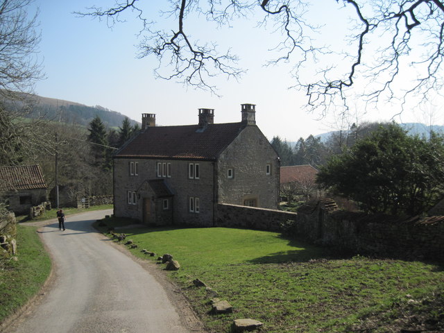
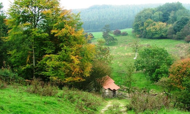
Sunny Bank Wood is a charming woodland area located in Yorkshire, England. Situated in the heart of the county, this picturesque forest spans over several acres and offers a tranquil escape from the bustling city life. The wood is known for its breathtaking natural beauty, with a diverse range of flora and fauna that attracts nature enthusiasts and hikers alike.
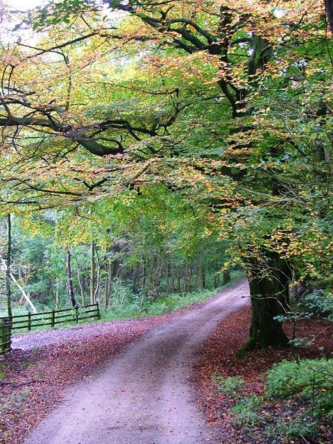
The woodland is predominantly made up of broadleaf trees, including oak, beech, and birch, which provide a dense canopy during the summer months. This creates a cool and shaded environment, perfect for escaping the heat on a sunny day. As visitors meander through the well-maintained trails, they can discover an array of wildflowers such as bluebells, primroses, and foxgloves, adding vibrant colors to the woodland landscape.
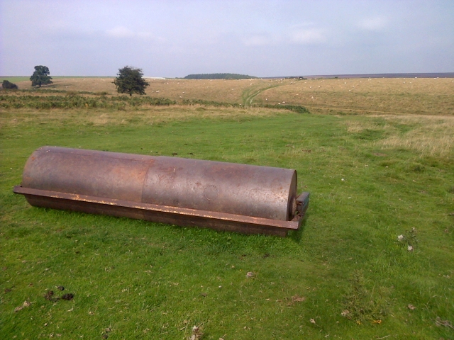
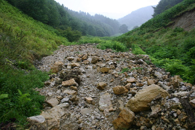
Sunny Bank Wood is also home to a variety of wildlife. Birdwatchers may spot species like woodpeckers, owls, and songbirds, while small mammals like hedgehogs and foxes can be seen darting through the undergrowth. The wood's peaceful atmosphere is further enhanced by the babbling brooks and trickling streams that run through the area, providing a soothing soundtrack to accompany the walk.
For those seeking more adventurous activities, there are designated picnic areas and camping spots available within the woodland. Additionally, the wood is part of a network of trails that connect to other nearby nature reserves, allowing visitors to explore further afield.
Overall, Sunny Bank Wood is a natural haven that offers a delightful escape into the wilderness. Its diverse ecosystem, scenic beauty, and peaceful ambiance make it a popular destination for nature lovers and outdoor enthusiasts in Yorkshire.
If you have any feedback on the listing, please let us know in the comments section below.
Sunny Bank Wood Images
Images are sourced within 2km of 54.294513/-1.195845 or Grid Reference SE5289. Thanks to Geograph Open Source API. All images are credited.


Sunny Bank Wood is located at Grid Ref: SE5289 (Lat: 54.294513, Lng: -1.195845)
Division: North Riding
Administrative County: North Yorkshire
District: Ryedale
Police Authority: North Yorkshire
What 3 Words
///recorders.bucks.timidly. Near Bilsdale, North Yorkshire
Nearby Locations
Related Wikis

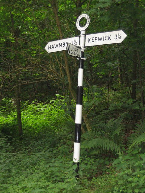
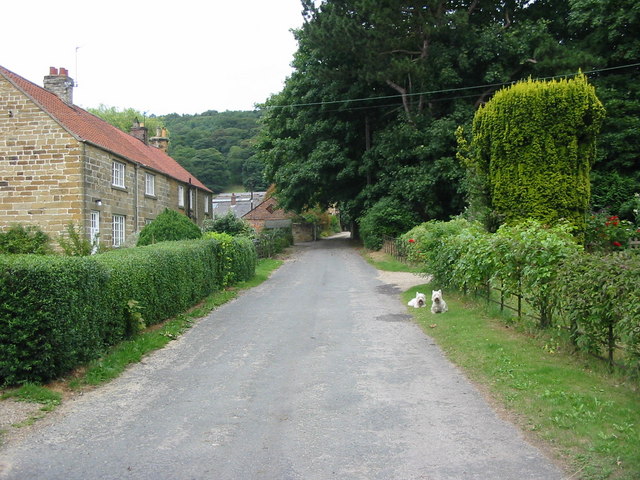
Hawnby
Hawnby is a small crossroads village and civil parish in Ryedale in the North York Moors National Park, North Yorkshire, England. The village is about...

Laskill
Laskill is a small hamlet in Bilsdale, 5 miles (8 km) north-west of Helmsley, North Yorkshire, England, on the road from Helmsley to Stokesley and is located...

Holy Trinity Church, Boltby
Holy Trinity Church, Boltby is a parish church in the Church of England: 81 in Boltby. == History == The first chapel was founded in 1409 and was rebuilt...

Boltby
Boltby is a village and civil parish in the Hambleton District of North Yorkshire, England. It is on the edge of the North York Moors National Park at...

Cold Kirby
Cold Kirby is a village and civil parish in the Ryedale district of North Yorkshire, England. The population at the 2011 census (including Angram Grange...

Old Byland and Scawton
Old Byland and Scawton is a civil parish in the Ryedale district, in the county of North Yorkshire, England. The parish includes the villages of Old Byland...
Kirby Knowle
Kirby Knowle is a village and civil parish in Hambleton District of North Yorkshire, England, on the border of the North Yorkshire Moors and near Upsall...

Kepwick
Kepwick is a village and civil parish in the Hambleton district of North Yorkshire, England, on the North York Moors and near the A19. The population according...
Nearby Amenities
Located within 500m of 54.294513,-1.195845Have you been to Sunny Bank Wood?
Leave your review of Sunny Bank Wood below (or comments, questions and feedback).