Cross Dyke
Heritage Site in Yorkshire Ryedale
England
Cross Dyke
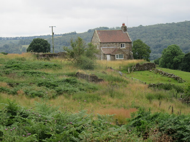
Cross Dyke is a historic heritage site located in Yorkshire, England. It is a well-preserved earthwork that dates back to the Iron Age, making it an important archaeological site. This ancient monument is situated near the village of Cayton, in the Scarborough district.
The site consists of a linear bank and ditch, forming a defensive boundary that stretches for approximately 500 meters. The earthwork is believed to have been constructed around 400-100 BC, during the late prehistoric period. It is thought to have served as a territorial boundary or a defensive fortification, protecting the settlement that once existed in the area.
Cross Dyke is constructed primarily from earth and soil, which were piled up to form a raised bank. The ditch, located on the outer side of the bank, adds an additional layer of defense. The earthwork is still clearly visible today, showcasing the remarkable craftsmanship and engineering skills of the Iron Age inhabitants.
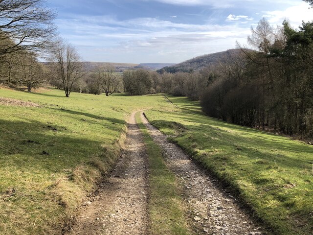
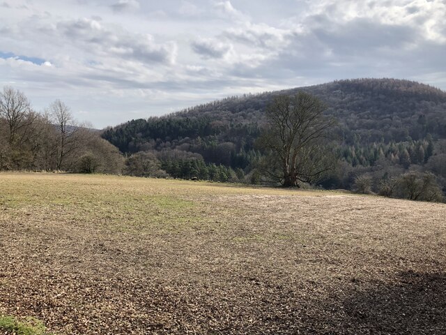
Visitors to Cross Dyke can explore the site and walk along the ancient earthwork, which offers panoramic views of the surrounding countryside. The site provides a glimpse into the lives and strategies of the Iron Age people who once inhabited this region. It offers a unique opportunity to connect with the past and understand the significance of this ancient monument.
Cross Dyke is protected as a Scheduled Ancient Monument, ensuring its preservation for future generations. It serves as an important archaeological site, contributing to our understanding of the Iron Age history and heritage of Yorkshire.
If you have any feedback on the listing, please let us know in the comments section below.
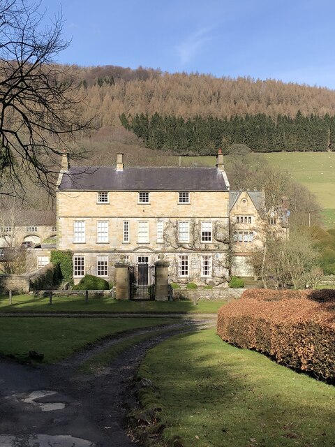
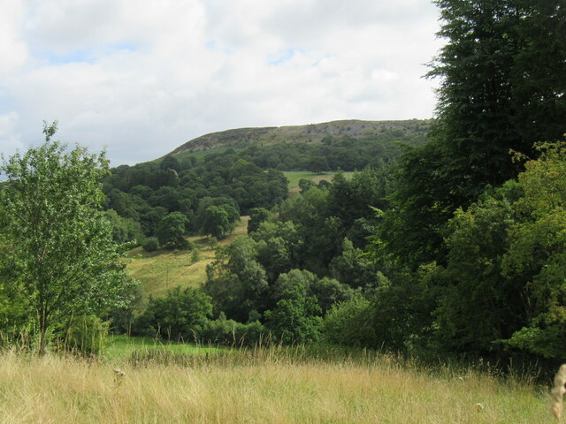
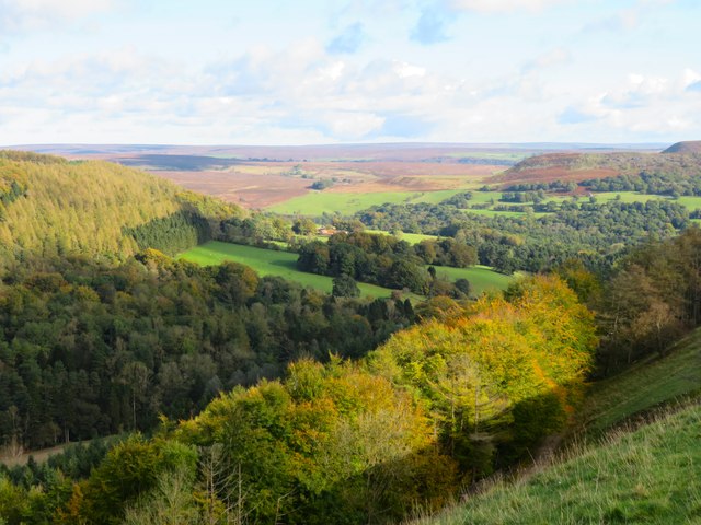
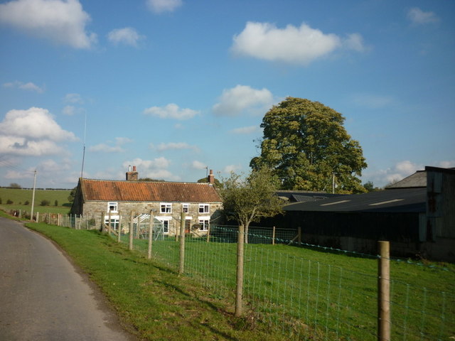
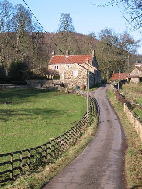
Cross Dyke Images
Images are sourced within 2km of 54.298/-1.193 or Grid Reference SE5289. Thanks to Geograph Open Source API. All images are credited.


Cross Dyke is located at Grid Ref: SE5289 (Lat: 54.298, Lng: -1.193)
Division: North Riding
Administrative County: North Yorkshire
District: Ryedale
Police Authority: North Yorkshire
What 3 Words
///defers.helpfully.opponent. Near Bilsdale, North Yorkshire
Nearby Locations
Related Wikis

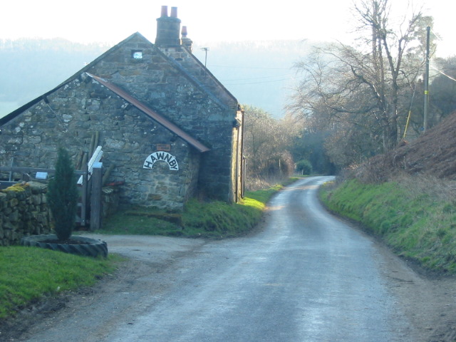
Hawnby
Hawnby is a small crossroads village and civil parish in Ryedale in the North York Moors National Park, North Yorkshire, England. The village is about...

Laskill
Laskill is a small hamlet in Bilsdale, 5 miles (8 km) north-west of Helmsley, North Yorkshire, England, on the road from Helmsley to Stokesley and is located...

Holy Trinity Church, Boltby
Holy Trinity Church, Boltby is a parish church in the Church of England: 81 in Boltby. == History == The first chapel was founded in 1409 and was rebuilt...

Boltby
Boltby is a village and civil parish in the Hambleton District of North Yorkshire, England. It is on the edge of the North York Moors National Park at...

Cold Kirby
Cold Kirby is a village and civil parish in the Ryedale district of North Yorkshire, England. The population at the 2011 census (including Angram Grange...

Old Byland and Scawton
Old Byland and Scawton is a civil parish in the Ryedale district, in the county of North Yorkshire, England. The parish includes the villages of Old Byland...

Kepwick
Kepwick is a village and civil parish in the Hambleton district of North Yorkshire, England, on the North York Moors and near the A19. The population according...

Bilsdale
Bilsdale is a dale in the western part of the North York Moors in North Yorkshire, England. The head of the dale is at Hasty Bank, and the dale extends...
Nearby Amenities
Located within 500m of 54.298,-1.193Have you been to Cross Dyke?
Leave your review of Cross Dyke below (or comments, questions and feedback).