Eskerdale
Valley in Yorkshire Ryedale
England
Eskerdale
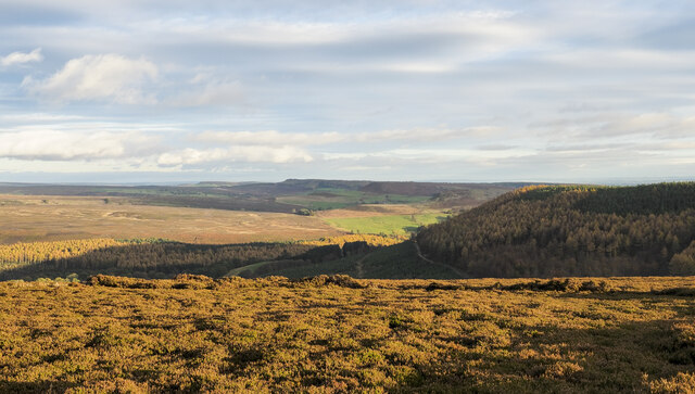
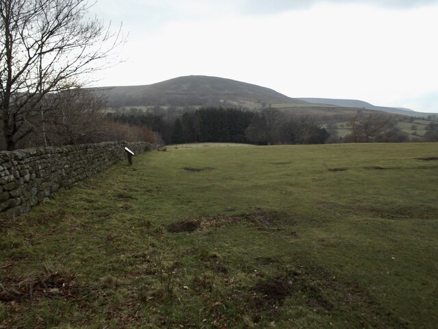
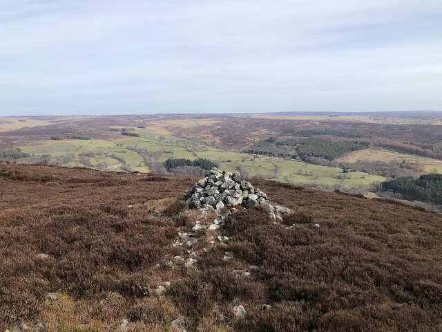
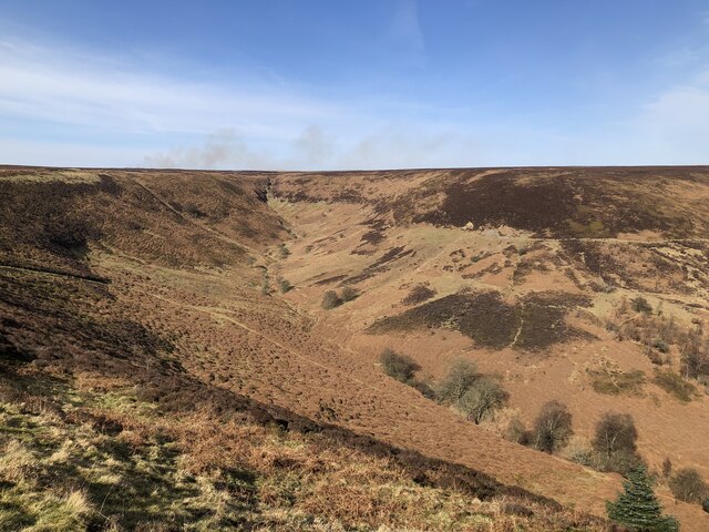
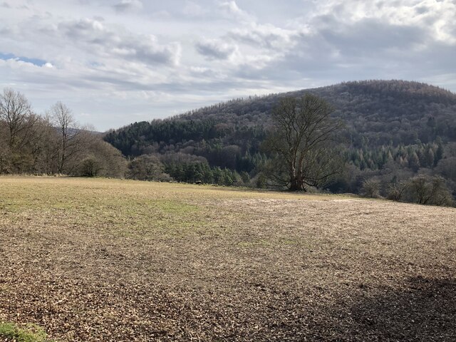
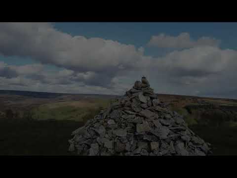
Eskerdale, also known as Eskdale, is a picturesque valley located in the county of Yorkshire, England. Nestled in the North York Moors National Park, this idyllic valley offers breathtaking views of rolling hills, lush greenery, and meandering rivers.
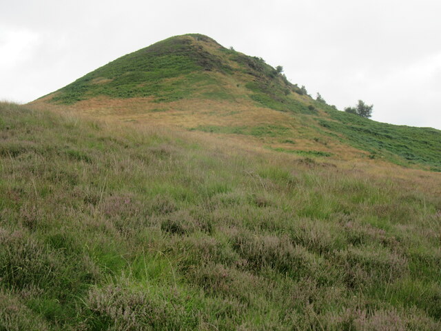
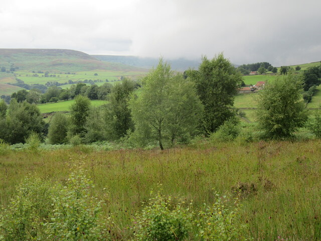
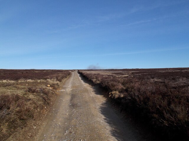
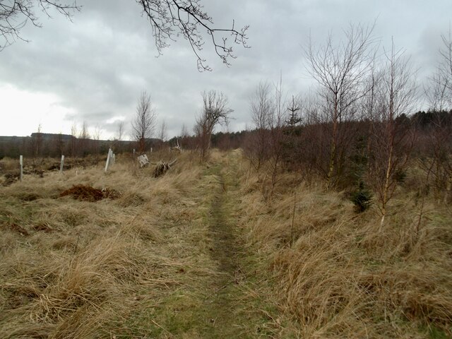
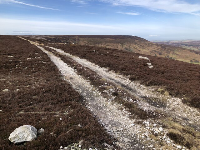
Characterized by its tranquil atmosphere, Eskerdale is a popular destination for nature enthusiasts and those seeking a peaceful retreat. The valley is home to a variety of flora and fauna, including heather-covered moorland, ancient oak woodlands, and numerous species of birds and wildlife.
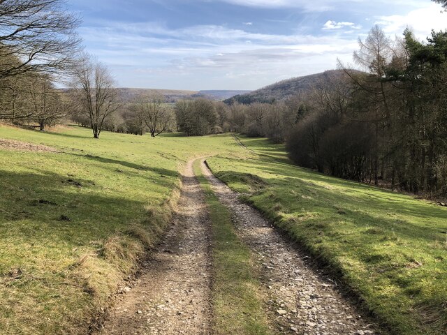
One of the highlights of Eskerdale is the River Esk, which flows through the valley, providing a serene backdrop for leisurely walks and picnics. The river is also renowned for its excellent fishing opportunities, attracting anglers from far and wide.
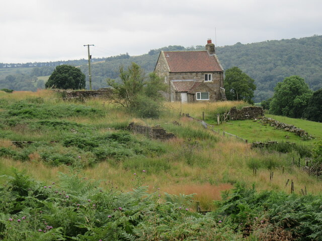
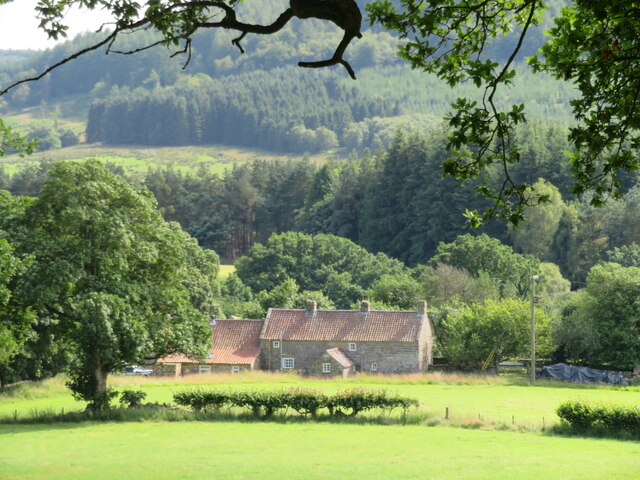
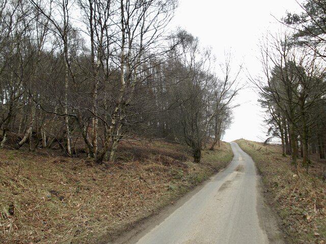
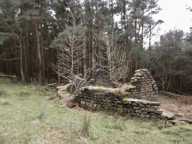
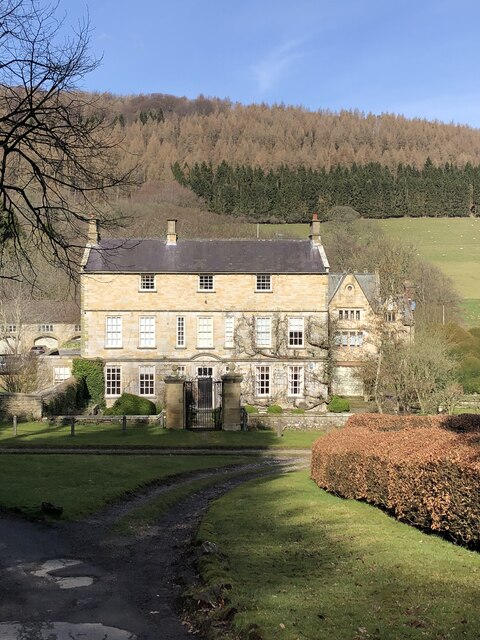
The valley is dotted with charming villages and hamlets, such as Egton and Grosmont, which showcase the traditional Yorkshire architecture and offer a glimpse into the region's rich history. Visitors can explore historic churches, quaint cottages, and even take a ride on the North Yorkshire Moors Railway, a heritage steam train that runs through the valley.
Eskerdale is a paradise for hikers and outdoor enthusiasts, with an extensive network of walking trails that cater to all levels of fitness and experience. From gentle strolls along the riverbanks to challenging hikes up the moors, there is something for everyone to enjoy.
In conclusion, Eskerdale, Yorkshire, offers visitors a serene and picturesque escape into nature. With its stunning landscapes, rich biodiversity, and historic charm, this valley is a true gem in the heart of Yorkshire.
If you have any feedback on the listing, please let us know in the comments section below.
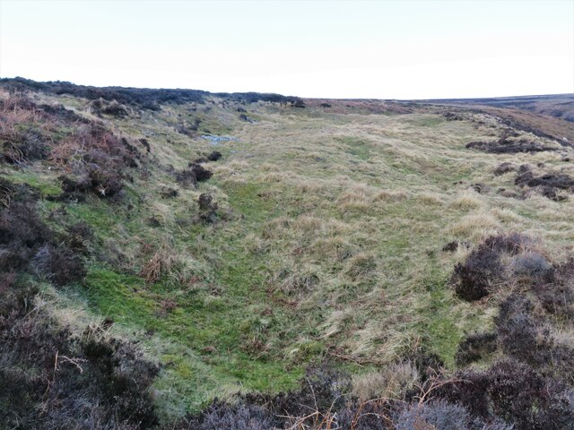
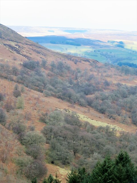
Eskerdale Images
Images are sourced within 2km of 54.322995/-1.1959816 or Grid Reference SE5292. Thanks to Geograph Open Source API. All images are credited.
Eskerdale is located at Grid Ref: SE5292 (Lat: 54.322995, Lng: -1.1959816)
Division: North Riding
Administrative County: North Yorkshire
District: Ryedale
Police Authority: North Yorkshire
What 3 Words
///thrilled.reseller.divided. Near Bilsdale, North Yorkshire
Nearby Locations
Related Wikis

Hawnby
Hawnby is a small crossroads village and civil parish in Ryedale in the North York Moors National Park, North Yorkshire, England. The village is about...

Laskill
Laskill is a small hamlet in Bilsdale, 5 miles (8 km) north-west of Helmsley, North Yorkshire, England, on the road from Helmsley to Stokesley and is located...

Bilsdale
Bilsdale is a dale in the western part of the North York Moors in North Yorkshire, England. The head of the dale is at Hasty Bank, and the dale extends...
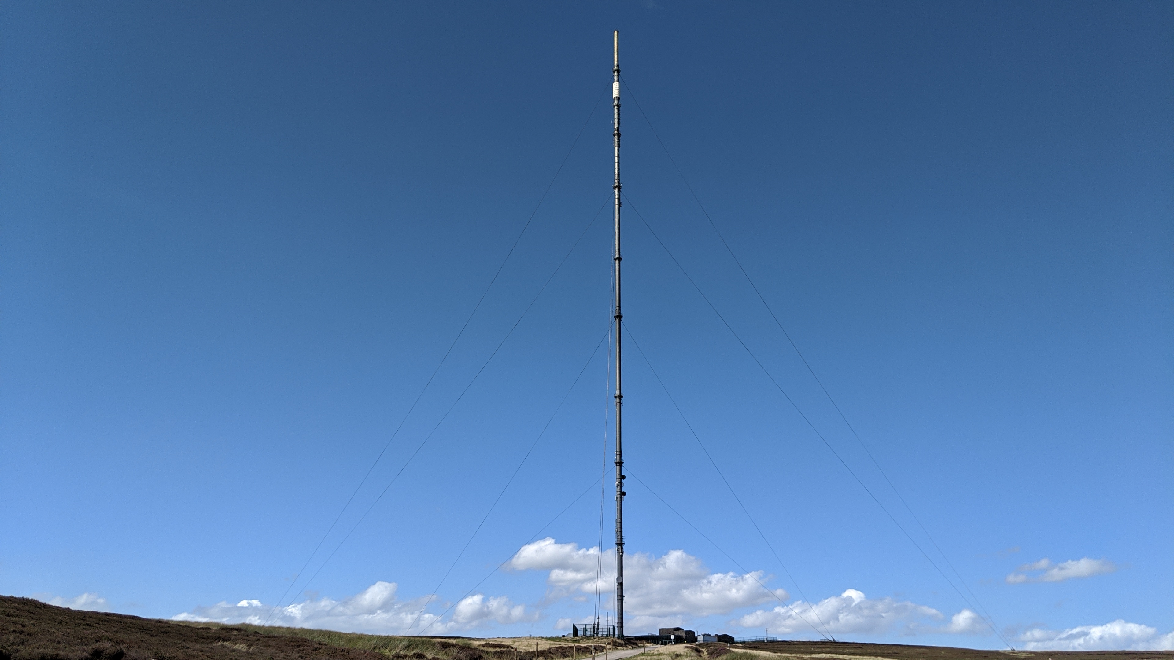
Bilsdale transmitting station
The Bilsdale transmitting station is a broadcasting and telecommunications facility, located at Bilsdale West Moor above Bilsdale, close to Helmsley, North...

Kepwick
Kepwick is a village and civil parish in the Hambleton district of North Yorkshire, England, on the North York Moors and near the A19. The population according...

Cowesby
Cowesby is a village and civil parish in the Hambleton District of North Yorkshire, England. Part of the village including The Cowesby Hall Estate is within...

Holy Trinity Church, Boltby
Holy Trinity Church, Boltby is a parish church in the Church of England: 81 in Boltby. == History == The first chapel was founded in 1409 and was rebuilt...

Boltby
Boltby is a village and civil parish in the Hambleton District of North Yorkshire, England. It is on the edge of the North York Moors National Park at...
Related Videos

Arden Hall & Hawnby Hill, North York Moors - 31 May 2021
A 12.6 mile walk starting from the base at the north end of Hawnby Hill. The route north west towards Hazel Head Wood and onto ...
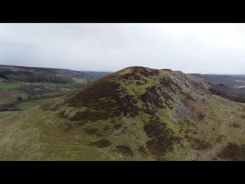
Hawnby Hill North York Moors April 2021
A little flight with my drone around Hawnby Hill on the North Yorkshire Moors just outside Northallerton in April 2021. It is such a ...
Drone flight around Hawnby Hill, North York Moors, April 2021
Another little drone flight around the beautiful Hawnby Hill on the North Yorks Moors, this time from the summit! The views from the ...
Nearby Amenities
Located within 500m of 54.322995,-1.1959816Have you been to Eskerdale?
Leave your review of Eskerdale below (or comments, questions and feedback).