Valley of Houlland
Valley in Shetland
Scotland
Valley of Houlland

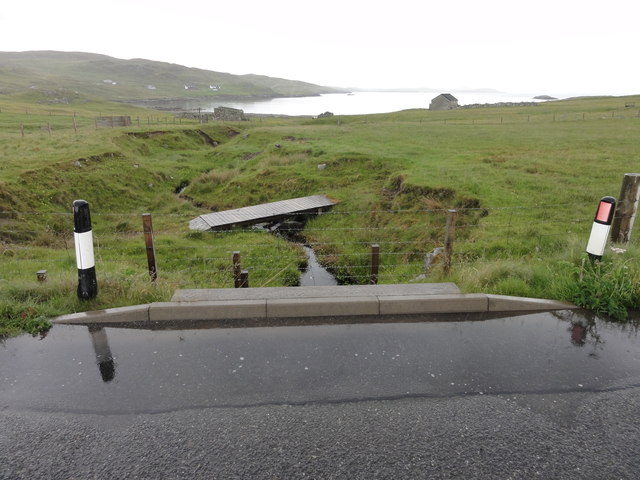
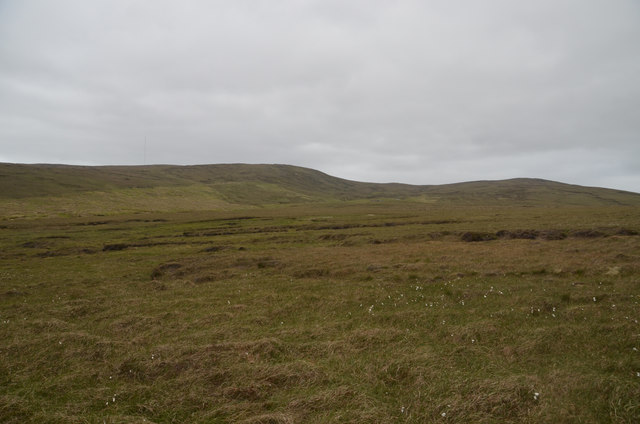
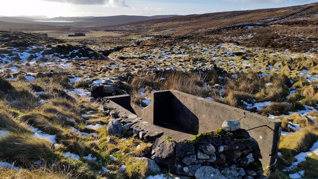
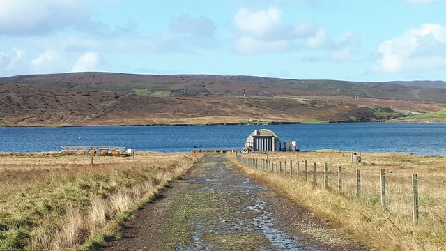
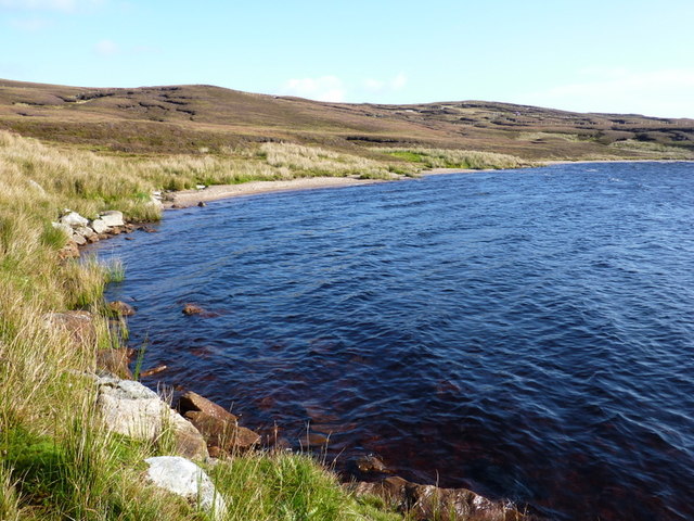
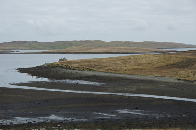
The Valley of Houlland, Shetland, commonly referred to as Valley, is a small settlement located on the west coast of the Shetland Islands, Scotland. Nestled within a tranquil valley, this picturesque hamlet is surrounded by rolling hills and rugged cliffs, offering breathtaking views of the North Atlantic Ocean.
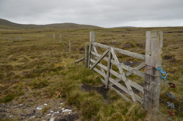
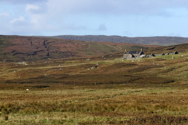
Valley is predominantly a crofting community, where residents engage in traditional farming practices and maintain close ties to the land. The fertile soil and mild climate of the valley provide favorable conditions for agriculture, allowing the locals to cultivate crops and rear livestock such as sheep and cattle.
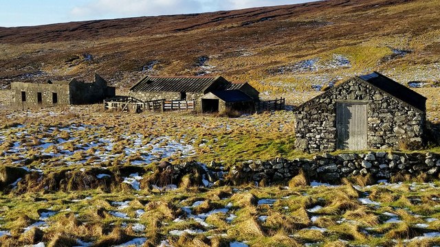
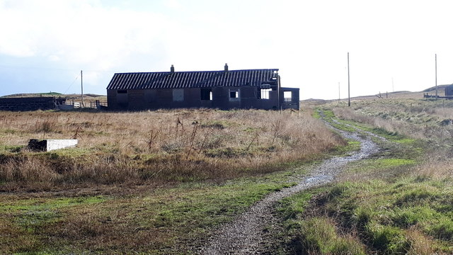
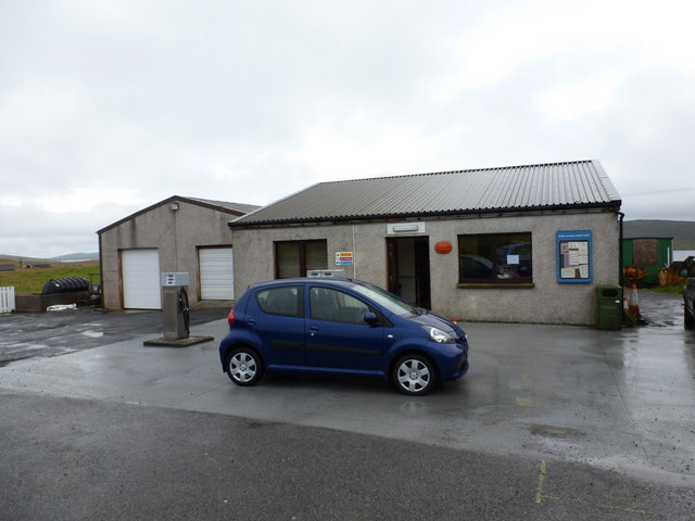
The settlement itself consists of a cluster of houses and traditional croft buildings, showcasing the architectural heritage of the region. Many of these buildings date back centuries, with their distinctive stone walls and thatched roofs adding to the area's charm. The community is tight-knit, with a population of around 100 people, fostering a strong sense of community spirit and support.
Valley is known for its natural beauty and serves as a gateway to the stunning coastline of Shetland. Visitors can explore the nearby cliffs, which are a haven for birdwatchers, as well as enjoy walks along the sandy beaches and rocky shores. The area is also popular for outdoor activities such as hiking, fishing, and wildlife spotting.
Overall, Valley of Houlland offers a peaceful and idyllic setting, where visitors can immerse themselves in the island's rich cultural heritage and appreciate the raw beauty of the Shetland landscape.
If you have any feedback on the listing, please let us know in the comments section below.
Valley of Houlland Images
Images are sourced within 2km of 60.273452/-1.1826136 or Grid Reference HU4554. Thanks to Geograph Open Source API. All images are credited.


Valley of Houlland is located at Grid Ref: HU4554 (Lat: 60.273452, Lng: -1.1826136)
Unitary Authority: Shetland Islands
Police Authority: Highlands and Islands
What 3 Words
///proves.ratio.respects. Near Aith, Shetland Islands
Nearby Locations
Related Wikis

RAF Catfirth
RAF Catfirth was a First World War seaplane base located on the island of Mainland in the Shetland Islands, Scotland. The base was under the control of...

Freester
Freester is a settlement on Mainland, Shetland, Scotland. It is in the parish of Nesting. == References == == External links == Canmore - Hard Knowe site...
Geopark Shetland
Geopark Shetland is the name used by the Geopark formally established in September 2009 on its entry into the European Geoparks Network. The Geopark extends...
Nesting, Shetland
Nesting is a parish in the Shetland Islands, Scotland. It includes a part of the east Shetland Mainland, measuring about twelve by four miles (19 by 6...

Brettabister
Brettabister is a settlement on the island of Mainland in Shetland, Scotland. It is in the parish of Nesting. St. Ola's parish church lies to the east...

North Isle of Gletness
The North Isle of Gletness is one of the Shetland Islands. It is east of the Shetland Mainland, near Gletness in Nesting parish, and is so called in contradistinction...
Viking Wind Farm
Viking Wind Farm is a large on-shore wind farm under construction in the Shetland Islands which is being developed by Viking Energy, a partnership between...

Central Mainland
The Central Mainland of the Shetland Islands is the part of the Mainland, the largest of the Shetland Islands, Scotland. It is located between Hellister...
Have you been to Valley of Houlland?
Leave your review of Valley of Houlland below (or comments, questions and feedback).