South Nesting

Settlement in Shetland

Scotland

South Nesting

South Nesting View of the road.
South Nesting Credit: Mat Tuck

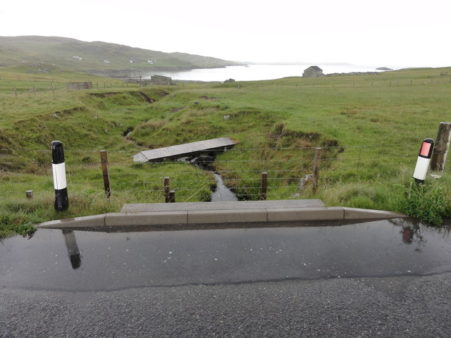
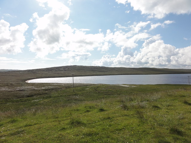
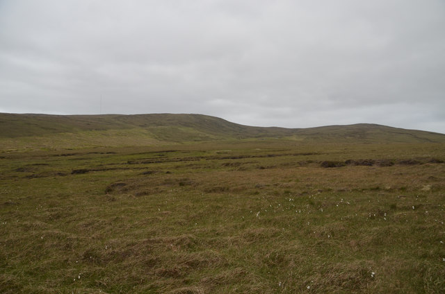
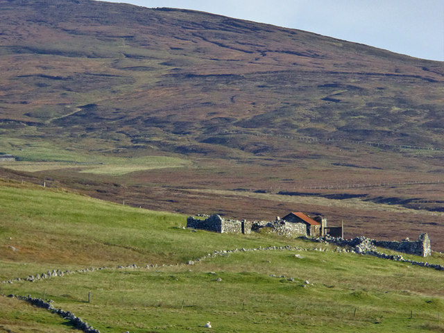
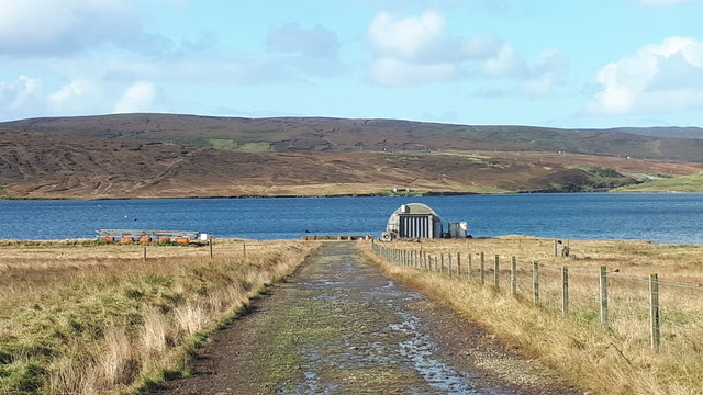
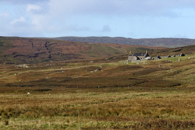
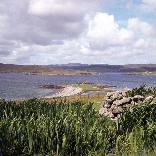
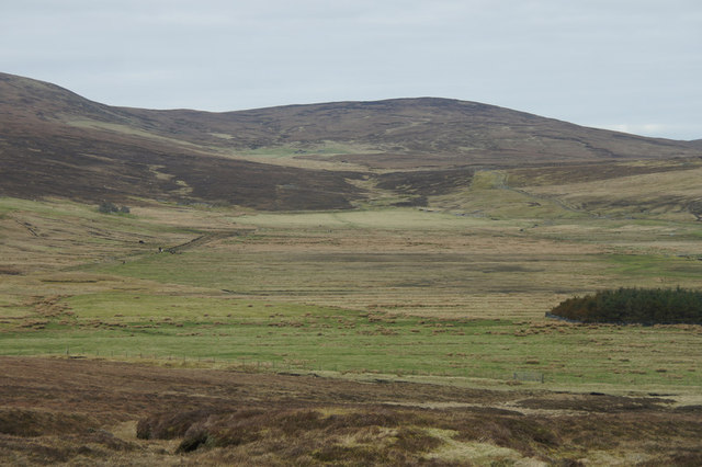
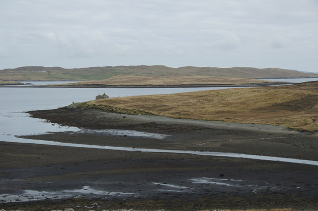
South Nesting is a small settlement located in the eastern part of the Shetland Islands, an archipelago in Scotland. Nestled in a picturesque coastal area, South Nesting offers stunning views of the North Sea and is surrounded by rolling hills and lush green landscapes. The village is situated about 13 miles northeast of the main town, Lerwick.

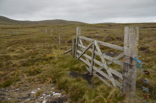
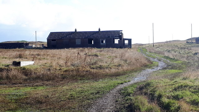
Despite its small size, South Nesting boasts a rich history and a close-knit community. The area has evidence of human habitation dating back thousands of years, with archaeological sites such as brochs and standing stones found nearby. The village is also known for its traditional crofting practices, where residents engage in small-scale farming and fishing.

The natural beauty of South Nesting attracts visitors who come to explore the tranquil beaches and enjoy the abundance of wildlife in the area. Birdwatchers flock to the region to spot various seabirds, including puffins and fulmars, while seals can often be seen basking on the rocky shores. The South Nesting Bay is particularly popular for sailing and boating activities, providing an opportunity to take in the stunning coastal scenery.

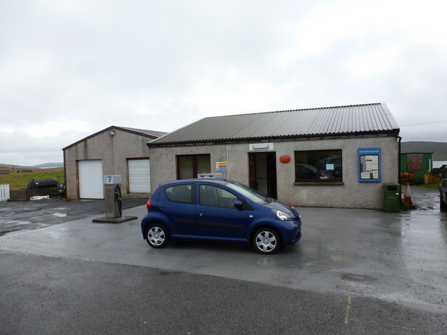
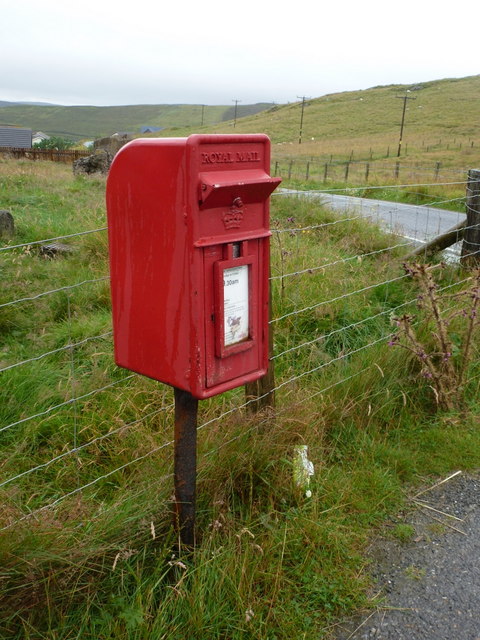
In terms of amenities, South Nesting has a community hall that serves as a hub for local events and activities. The nearest shops and services are located in nearby villages, and the area is well-connected by road, making it easily accessible for both residents and visitors alike.

Overall, South Nesting offers a peaceful and picturesque retreat where visitors can experience the natural beauty of the Shetland Islands while immersing themselves in the rich history and community spirit of this charming village.

If you have any feedback on the listing, please let us know in the comments section below.

South Nesting Images

Images are sourced within 2km of 60.268091/-1.1869588 or Grid Reference HU4554. Thanks to Geograph Open Source API. All images are credited.

South Nesting View of the road.
South Nesting
View of the road.
Burn of Grunnawater Small road bridge over the Burn of Grunnawater
Burn of Grunnawater
Small road bridge over the Burn of Grunnawater
Muckle Ayre View out to the sea at Muckle Ayre
Muckle Ayre
View out to the sea at Muckle Ayre
Loch of Girlsta View from the A970 of the Loch of Girlsta
Loch of Girlsta
View from the A970 of the Loch of Girlsta
Moorland at Flamister, Shetland
Moorland Gateway near Flamister, South Nesting, Shetland
Derelict Croft, Hill of Catfirth
Track to the shore at Catfirth
The remains of Catfirth airfield Only open for about a year at the end of the First World War, but of especial significance to Shetland as the location of the first plane to land in the islands.
The remains of Catfirth airfield
Only open for about a year at the end of the First World War, but of especial significance to Shetland as the location of the first plane to land in the islands.
Ruin at Crown, Catfirth
Loch of Benston, South Nesting
Benston and Garth, South Nesting
Vassa Voe, South Nesting
Quoy, Railsbrough
Quoy, Railsbrough
South Nesting: Skellister Post Office The Catfirth shop, on the B9075, serves as a petrol filling station like so many village stores on Shetland, and also houses the post office. The office is named Skellister perhaps suggesting that it was once in that part of South Nesting, a mile or so to the east.
South Nesting: Skellister Post Office
The Catfirth shop, on the B9075, serves as a petrol filling station like so many village stores on Shetland, and also houses the post office. The office is named Skellister perhaps suggesting that it was once in that part of South Nesting, a mile or so to the east.
South Nesting: postbox № ZE2 117 This post-1994 postbox is situated on the forecourt of <a href="https://www.geograph.org.uk/photo/2758908">HU4554 : South Nesting: Skellister Post Office</a>. It is emptied on weekday and Saturday mornings at half past nine.
South Nesting: postbox № ZE2 117
This post-1994 postbox is situated on the forecourt of HU4554 : South Nesting: Skellister Post Office. It is emptied on weekday and Saturday mornings at half past nine.
Low-lying land at Catfirth Looking up the valley towards the Hill of Flamister.
Low-lying land at Catfirth
Looking up the valley towards the Hill of Flamister.
Outflow of the Burn of Crookadale, Catfirth Looking towards the building at Vallin Ness.
Outflow of the Burn of Crookadale, Catfirth
Looking towards the building at Vallin Ness.
Show me another place!

South Nesting is located at Grid Ref: HU4554 (Lat: 60.268091, Lng: -1.1869588)

Unitary Authority: Shetland Islands

Police Authority: Highlands and Islands

What 3 Words

///insist.bloom.swims. Near Aith, Shetland Islands

Related Wikis

RAF Catfirth

RAF Catfirth was a First World War seaplane base located on the island of Mainland in the Shetland Islands, Scotland. The base was under the control of...

Freester

Freester is a settlement on Mainland, Shetland, Scotland. It is in the parish of Nesting. == References == == External links == Canmore - Hard Knowe site...

Geopark Shetland

Geopark Shetland is the name used by the Geopark formally established in September 2009 on its entry into the European Geoparks Network. The Geopark extends...

North Isle of Gletness

The North Isle of Gletness is one of the Shetland Islands. It is east of the Shetland Mainland, near Gletness in Nesting parish, and is so called in contradistinction...

Nearby Amenities

Located within 500m of 60.268091,-1.1869588
Post Box
Operator: Royal Mail
Operator Wikidata: Q638098
Ref: ZE2 117
Lat/Long: 60.2681371/-1.187693
Shop: convenience
Lat/Long: 60.267883/-1.187551
Fuel
Lat/Long: 60.2680307/-1.1874758
Post Office
Lat/Long: 60.2679708/-1.1876609
Power: pole
Lat/Long: 60.2689006/-1.1782661
Power: pole
Lat/Long: 60.2688047/-1.1794714
Power: pole
Lat/Long: 60.2687201/-1.1805539
Power: pole
Lat/Long: 60.2686378/-1.1816319
Power: pole
Lat/Long: 60.2685284/-1.1830761
Power: pole
Lat/Long: 60.2684562/-1.184054
Power: pole
Lat/Long: 60.2683603/-1.185116
Power: pole
Lat/Long: 60.2682701/-1.1863168
Power: pole
Lat/Long: 60.2684055/-1.1874812
Power: pole
Lat/Long: 60.268569/-1.1888731
Power: pole
Lat/Long: 60.2686525/-1.1896486
Power: pole
Lat/Long: 60.2687855/-1.1908221
Power: pole
Lat/Long: 60.2689152/-1.1920229
Power: pole
Lat/Long: 60.2693156/-1.1926619
Power: pole
Lat/Long: 60.2698232/-1.1934807
Power: pole
Lat/Long: 60.2703386/-1.1943153
Power: pole
Lat/Long: 60.2681043/-1.1883636
Power: pole
Lat/Long: 60.2676148/-1.1880634
Power: pole
Lat/Long: 60.2669798/-1.1876677
Power: pole
Lat/Long: 60.2663222/-1.1872743
Power: pole
Lat/Long: 60.2658823/-1.1864874
Power: pole
Lat/Long: 60.2652991/-1.1854504
Power: pole
Lat/Long: 60.2649156/-1.1847681
Power: pole
Lat/Long: 60.2644001/-1.1838357
The data included in this document is from www.openstreetmap.org. The data is made available under ODbL.

Have you been to South Nesting?

Leave your review of South Nesting below (or comments, questions and feedback).