Grunna Water
Lake, Pool, Pond, Freshwater Marsh in Shetland
Scotland
Grunna Water

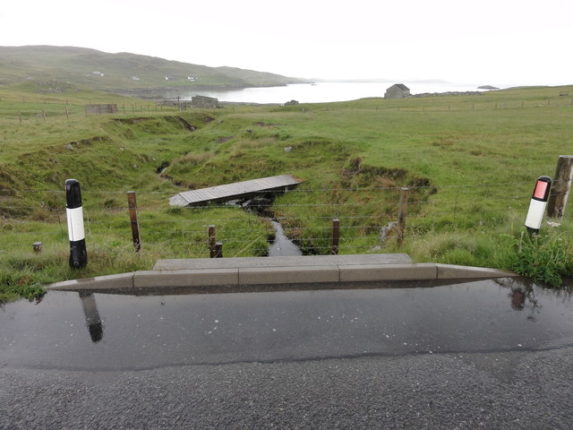
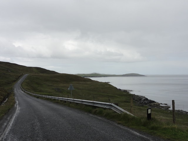
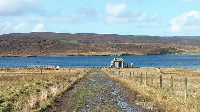
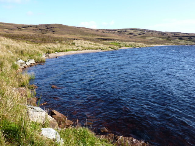
Grunna Water, located in Shetland, Scotland, is a picturesque freshwater loch nestled amidst the region's stunning natural landscape. With an area of approximately 10 hectares, this tranquil body of water offers a diverse habitat for a variety of aquatic life and attracts numerous bird species, making it a popular destination for nature enthusiasts and ornithologists alike.
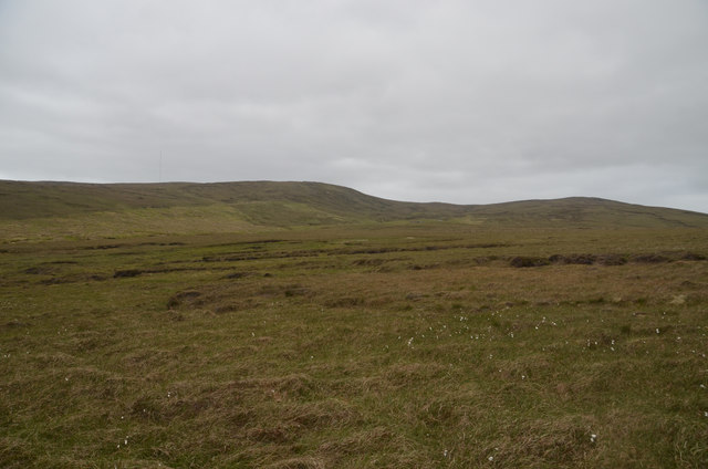
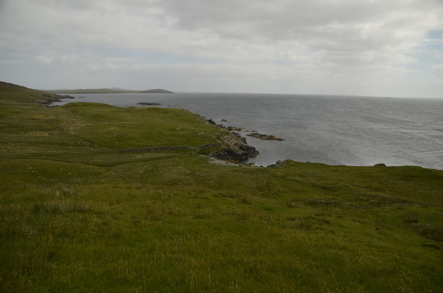
Surrounded by rolling hills and heather-covered moorland, Grunna Water is characterized by its clear, still waters. The loch is relatively shallow, with an average depth of around 3 meters, and is fed by numerous small streams that meander through the surrounding peat bogs. The water remains cool throughout the year, with temperatures rarely exceeding 10 degrees Celsius even during the summer months.
The vegetation along the edges of Grunna Water consists of reeds, sedges, and rushes, forming a lush freshwater marsh that provides a vital habitat for a range of plant and animal species. This wetland ecosystem supports a diverse array of flora, including water lilies and various species of mosses and grasses.
The loch is also home to a variety of fish species, such as brown trout and Arctic char, which thrive in the nutrient-rich waters. These fish attract a number of bird species to the area, including tufted ducks, goldeneyes, and red-throated divers. During the breeding season, the shores of Grunna Water come alive with the calls of nesting birds, creating a vibrant and bustling atmosphere.
Accessible by a well-maintained footpath, Grunna Water offers visitors the opportunity to explore its tranquil surroundings and observe the rich biodiversity it supports. Whether it's birdwatching, fishing, or simply enjoying the peaceful ambiance, Grunna Water is a true haven for nature lovers in the heart of Shetland.
If you have any feedback on the listing, please let us know in the comments section below.
Grunna Water Images
Images are sourced within 2km of 60.275719/-1.1717456 or Grid Reference HU4554. Thanks to Geograph Open Source API. All images are credited.


Grunna Water is located at Grid Ref: HU4554 (Lat: 60.275719, Lng: -1.1717456)
Unitary Authority: Shetland Islands
Police Authority: Highlands and Islands
What 3 Words
///vets.addicted.spearhead. Near Vidlin, Shetland Islands
Nearby Locations
Related Wikis

RAF Catfirth
RAF Catfirth was a First World War seaplane base located on the island of Mainland in the Shetland Islands, Scotland. The base was under the control of...

Freester
Freester is a settlement on Mainland, Shetland, Scotland. It is in the parish of Nesting. == References == == External links == Canmore - Hard Knowe site...
Geopark Shetland
Geopark Shetland is the name used by the Geopark formally established in September 2009 on its entry into the European Geoparks Network. The Geopark extends...

Brettabister
Brettabister is a settlement on the island of Mainland in Shetland, Scotland. It is in the parish of Nesting. St. Ola's parish church lies to the east...
Nesting, Shetland
Nesting is a parish in the Shetland Islands, Scotland. It includes a part of the east Shetland Mainland, measuring about twelve by four miles (19 by 6...

North Isle of Gletness
The North Isle of Gletness is one of the Shetland Islands. It is east of the Shetland Mainland, near Gletness in Nesting parish, and is so called in contradistinction...
Viking Wind Farm
Viking Wind Farm is a large on-shore wind farm under construction in the Shetland Islands which is being developed by Viking Energy, a partnership between...

South Isle of Gletness
The South Isle of Gletness is an islet off Gletness, in Nesting in east central, Mainland, Shetland. It is 30m at its highest point. Amongst its features...
Nearby Amenities
Located within 500m of 60.275719,-1.1717456Have you been to Grunna Water?
Leave your review of Grunna Water below (or comments, questions and feedback).