Loch of Houlland

Lake, Pool, Pond, Freshwater Marsh in Shetland

Scotland

Loch of Houlland

South Nesting View of the road.
South Nesting Credit: Mat Tuck

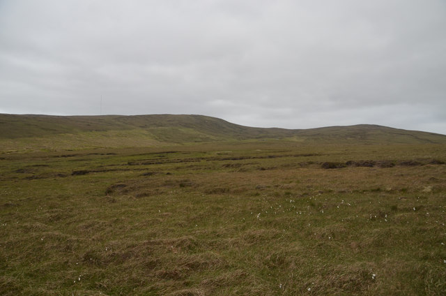
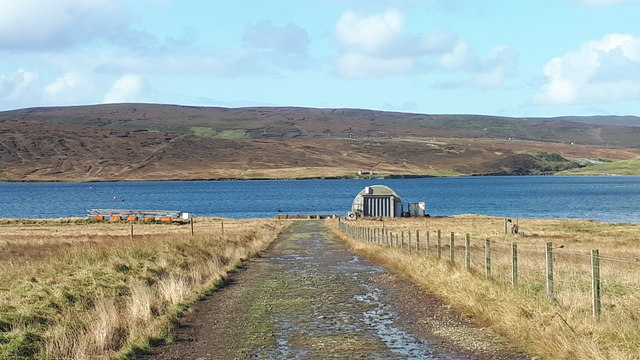
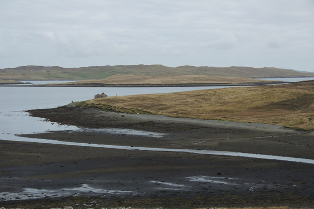
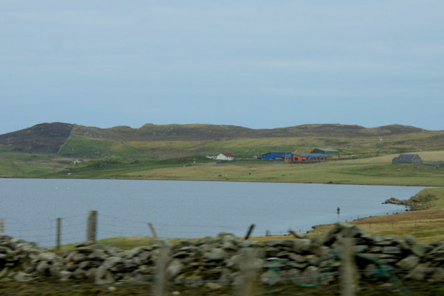
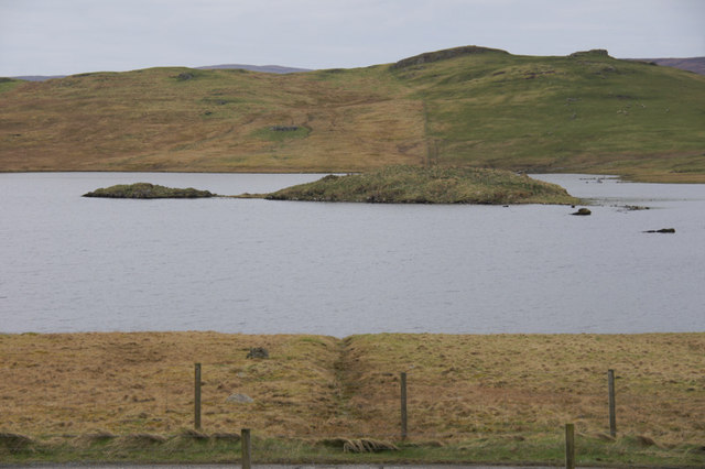
Loch of Houlland is a picturesque freshwater loch located in the Shetland Islands, Scotland. It is situated near the village of Sandwater, approximately 13 miles southwest of Lerwick, the capital of Shetland. Spanning an area of approximately 20 hectares, the loch is surrounded by heather-covered hills and offers stunning views of the rugged Shetland landscape.

The Loch of Houlland is a haven for wildlife enthusiasts, as it provides a diverse habitat for a variety of species. The loch itself is home to an array of freshwater fish, including brown trout, which makes it a popular spot for anglers. The surrounding wetlands and marshes attract a wide range of bird species, such as red-throated divers, whooper swans, and teal, making it an ideal destination for birdwatchers.

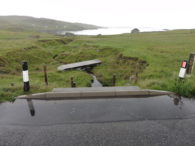
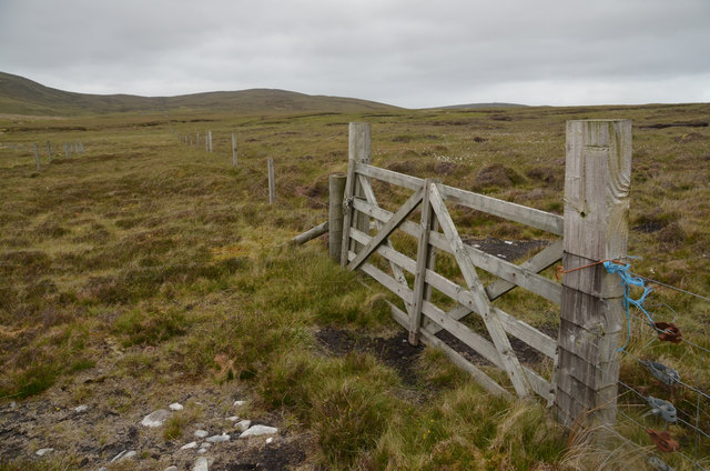
The loch is accessible via a small car park located near the shores, and there is a well-maintained path that allows visitors to explore the area on foot. The path offers scenic views and leads to a bird hide, providing a perfect vantage point for observing the abundant birdlife.

The Loch of Houlland is not only a haven for wildlife but also provides a peaceful and tranquil setting for visitors to enjoy the natural beauty of the Shetland Islands. Whether it's fishing, birdwatching, or simply taking a leisurely stroll, this loch offers a unique and captivating experience for nature enthusiasts and those seeking solace in the midst of Scotland's stunning landscapes.

If you have any feedback on the listing, please let us know in the comments section below.

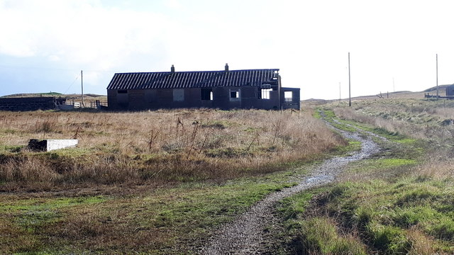
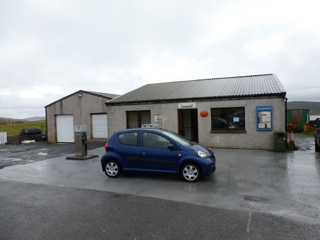
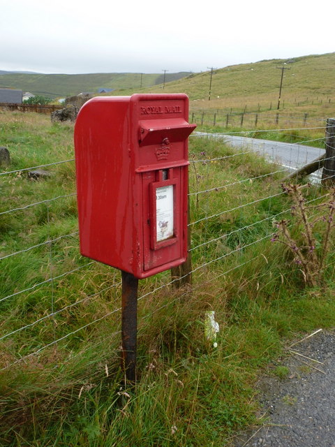
Loch of Houlland Images

Images are sourced within 2km of 60.270604/-1.1794489 or Grid Reference HU4554. Thanks to Geograph Open Source API. All images are credited.

South Nesting View of the road.
South Nesting
View of the road.
Burn of Grunnawater Small road bridge over the Burn of Grunnawater
Burn of Grunnawater
Small road bridge over the Burn of Grunnawater
Muckle Ayre View out to the sea at Muckle Ayre
Muckle Ayre
View out to the sea at Muckle Ayre
Moorland at Flamister, Shetland
Moorland Gateway near Flamister, South Nesting, Shetland
Track to the shore at Catfirth
The remains of Catfirth airfield Only open for about a year at the end of the First World War, but of especial significance to Shetland as the location of the first plane to land in the islands.
The remains of Catfirth airfield
Only open for about a year at the end of the First World War, but of especial significance to Shetland as the location of the first plane to land in the islands.
Loch of Benston, South Nesting
Benston and Garth, South Nesting
Vassa Voe, South Nesting
South Nesting: Skellister Post Office The Catfirth shop, on the B9075, serves as a petrol filling station like so many village stores on Shetland, and also houses the post office. The office is named Skellister perhaps suggesting that it was once in that part of South Nesting, a mile or so to the east.
South Nesting: Skellister Post Office
The Catfirth shop, on the B9075, serves as a petrol filling station like so many village stores on Shetland, and also houses the post office. The office is named Skellister perhaps suggesting that it was once in that part of South Nesting, a mile or so to the east.
South Nesting: postbox № ZE2 117 This post-1994 postbox is situated on the forecourt of <a href="https://www.geograph.org.uk/photo/2758908">HU4554 : South Nesting: Skellister Post Office</a>. It is emptied on weekday and Saturday mornings at half past nine.
South Nesting: postbox № ZE2 117
This post-1994 postbox is situated on the forecourt of HU4554 : South Nesting: Skellister Post Office. It is emptied on weekday and Saturday mornings at half past nine.
Outflow of the Burn of Crookadale, Catfirth Looking towards the building at Vallin Ness.
Outflow of the Burn of Crookadale, Catfirth
Looking towards the building at Vallin Ness.
Old house at Catfirth
West end of Loch of Benston An angler is in the loch; Nesting Primary School is in the background.
West end of Loch of Benston
An angler is in the loch; Nesting Primary School is in the background.
Loch of Benston Looking towards the Holm of Benston.
Loch of Benston
Looking towards the Holm of Benston.
Aquaculture equipment on the shore at Catfirth
Calf Holm, East Voe of Skellister From Skellister.
Calf Holm, East Voe of Skellister
From Skellister.
Show me another place!

Loch of Houlland is located at Grid Ref: HU4554 (Lat: 60.270604, Lng: -1.1794489)

Unitary Authority: Shetland Islands

Police Authority: Highlands and Islands

What 3 Words

///safety.irrigate.successor. Near Aith, Shetland Islands

Related Wikis

RAF Catfirth

RAF Catfirth was a First World War seaplane base located on the island of Mainland in the Shetland Islands, Scotland. The base was under the control of...

Freester

Freester is a settlement on Mainland, Shetland, Scotland. It is in the parish of Nesting. == References == == External links == Canmore - Hard Knowe site...

Geopark Shetland

Geopark Shetland is the name used by the Geopark formally established in September 2009 on its entry into the European Geoparks Network. The Geopark extends...

North Isle of Gletness

The North Isle of Gletness is one of the Shetland Islands. It is east of the Shetland Mainland, near Gletness in Nesting parish, and is so called in contradistinction...

Brettabister

Brettabister is a settlement on the island of Mainland in Shetland, Scotland. It is in the parish of Nesting. St. Ola's parish church lies to the east...

Nesting, Shetland

Nesting is a parish in the Shetland Islands, Scotland. It includes a part of the east Shetland Mainland, measuring about twelve by four miles (19 by 6...

South Isle of Gletness

The South Isle of Gletness is an islet off Gletness, in Nesting in east central, Mainland, Shetland. It is 30m at its highest point. Amongst its features...

Viking Wind Farm

Viking Wind Farm is a large on-shore wind farm under construction in the Shetland Islands which is being developed by Viking Energy, a partnership between...

Nearby Amenities

Located within 500m of 60.270604,-1.1794489
Power: pole
Lat/Long: 60.2728715/-1.1722576
Power: pole
Lat/Long: 60.2725535/-1.1726305
Power: pole
Lat/Long: 60.2719784/-1.1733628
Power: pole
Lat/Long: 60.2714461/-1.1740292
Power: pole
Lat/Long: 60.2708765/-1.1747615
Power: pole
Lat/Long: 60.2703634/-1.1754437
Power: pole
Lat/Long: 60.2698491/-1.1761169
Power: pole
Lat/Long: 60.2693867/-1.176715
Power: pole
Lat/Long: 60.2689852/-1.1772085
Power: pole
Lat/Long: 60.2689006/-1.1782661
Power: pole
Lat/Long: 60.2688047/-1.1794714
Power: pole
Lat/Long: 60.2687201/-1.1805539
Power: pole
Lat/Long: 60.2686378/-1.1816319
Power: pole
Lat/Long: 60.2685284/-1.1830761
Power: pole
Lat/Long: 60.2684562/-1.184054
Power: pole
Lat/Long: 60.2683603/-1.185116
Power: pole
Lat/Long: 60.2682701/-1.1863168
The data included in this document is from www.openstreetmap.org. The data is made available under ODbL.

Have you been to Loch of Houlland?

Leave your review of Loch of Houlland below (or comments, questions and feedback).