Mopley Pond

Lake, Pool, Pond, Freshwater Marsh in Hampshire New Forest

England

Mopley Pond

Cereal crop and pylon off Lepe Road
Cereal crop and pylon off Lepe Road Credit: JThomas

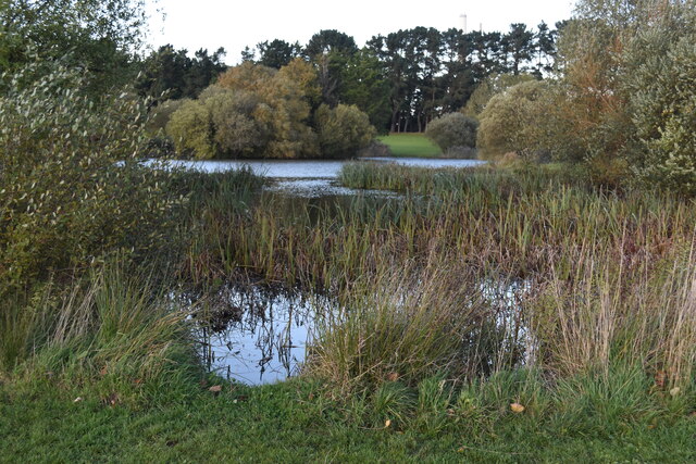
Mopley Pond is a picturesque freshwater marsh located in Hampshire, England. Nestled amidst the serene countryside, it is a popular destination for nature enthusiasts and those seeking tranquility in the midst of natural beauty.

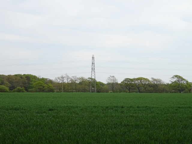
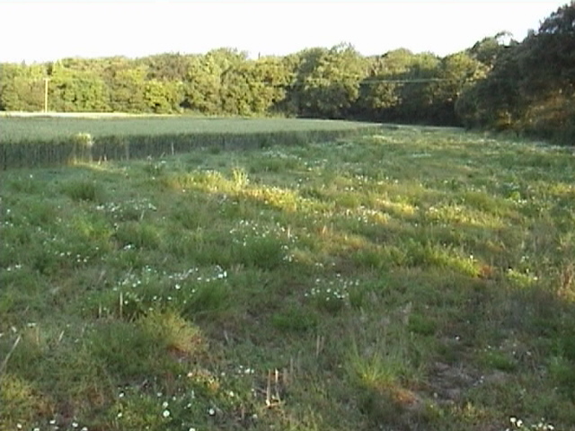
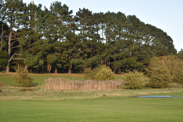
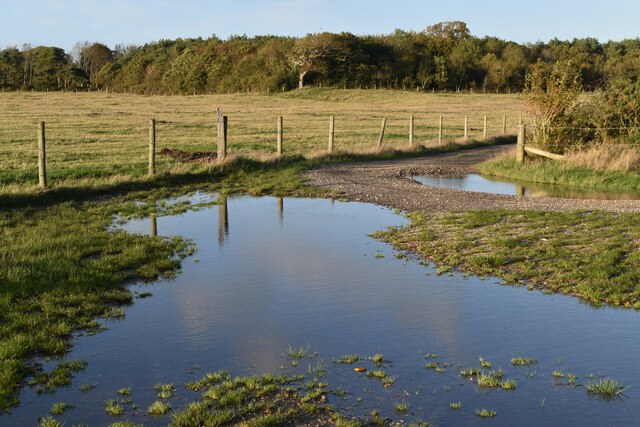
Covering an area of approximately 20 acres, Mopley Pond is bordered by lush green meadows and ancient woodland, providing a diverse habitat for a multitude of flora and fauna. The pond itself is a shallow body of water, with an average depth of around 3 meters. Its calm and clear waters are fed by a small stream that originates from a nearby spring.

The pond is home to a wide variety of aquatic plants, including lily pads, water lilies, and reeds, which create a vibrant and colorful landscape during the summer months. These plants serve as a habitat for numerous species of fish, such as carp, roach, and perch, making it a popular spot for anglers.

The surrounding marshland is characterized by its unique ecosystem, hosting a rich diversity of wildlife. Birdwatchers can spot an array of avian species, including swans, ducks, herons, and kingfishers. The marsh also provides a sanctuary for amphibians and reptiles, with sightings of frogs, toads, and grass snakes being common.

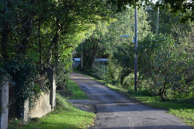
Visitors to Mopley Pond can explore the area via well-maintained walking trails and enjoy the peaceful ambiance that the natural surroundings offer. The pond also provides opportunities for recreational activities such as boating, kayaking, and picnicking along its banks. With its idyllic setting and abundant wildlife, Mopley Pond is truly a hidden gem in the Hampshire countryside.

If you have any feedback on the listing, please let us know in the comments section below.

Mopley Pond Images

Images are sourced within 2km of 50.812619/-1.3554107 or Grid Reference SU4501. Thanks to Geograph Open Source API. All images are credited.

Cereal crop and pylon off Lepe Road
Lepe Road
Lepe Road
Stanswood On the Cadland Estate.
Stanswood
On the Cadland Estate.
Llamas in field These fields are split into sections and there are various colours of Llamas in residence.  The footpath runs along side these fields before entering a small copse called East hill Copse.
Llamas in field
These fields are split into sections and there are various colours of Llamas in residence. The footpath runs along side these fields before entering a small copse called East hill Copse.
Lepe, off road cycle trail Signed as such by the county council, though OS calls it a bridleway. Far left, in the distance, one of East Hill Farm's alpacas, photo-shy today. Seen from the Lepe Loop walk: <span class="nowrap"><a title="http://www.hants.gov.uk/rh/walking/lepe.pdf" rel="nofollow ugc noopener" href="http://www.hants.gov.uk/rh/walking/lepe.pdf">Link</a><img style="margin-left:2px;" alt="External link" title="External link - shift click to open in new window" src="https://s1.geograph.org.uk/img/external.png" width="10" height="10"/></span>
Lepe, off road cycle trail
Signed as such by the county council, though OS calls it a bridleway. Far left, in the distance, one of East Hill Farm's alpacas, photo-shy today. Seen from the Lepe Loop walk: LinkExternal link
Lepe, East Hill Copse Seen from the bridleway to Lepe Road.
Lepe, East Hill Copse
Seen from the bridleway to Lepe Road.
Lepe, bridleway From The Green to Lepe Road.
Lepe, bridleway
From The Green to Lepe Road.
Lepe, Dark Water Looking downstream at a brook that rises near Hill Top (as Stock Water) and flows into the Solent at Lepe. Water appears motionless here, probably because of pressure from the incoming tide.
Lepe, Dark Water
Looking downstream at a brook that rises near Hill Top (as Stock Water) and flows into the Solent at Lepe. Water appears motionless here, probably because of pressure from the incoming tide.
Southern margins of the pond at Gang Warily
Line of trees beside Fawley Road Screening the view of the oil refinery from the recreation ground at Gang Warily.
Line of trees beside Fawley Road
Screening the view of the oil refinery from the recreation ground at Gang Warily.
Chapel Lane, Fawley
Chapel Lane, Fawley
Flooded track junction south of Fawley village
The Jubilee Hall, Fawley
New Forest School, Fawley
Shops on Hampton Lane A row of local shops in Blackfield.
Shops on Hampton Lane
A row of local shops in Blackfield.
Sainsbury's Local, Blackfield Still looking very much like what it once was, a large suburban pub, formerly the Hampshire Yeoman. <span class="nowrap"><a title="http://www.closedpubs.co.uk/hampshire/blackfield_hampshireyeoman.html" rel="nofollow ugc noopener" href="http://www.closedpubs.co.uk/hampshire/blackfield_hampshireyeoman.html">Link</a><img style="margin-left:2px;" alt="External link" title="External link - shift click to open in new window" src="https://s1.geograph.org.uk/img/external.png" width="10" height="10"/></span>
Sainsbury's Local, Blackfield
Still looking very much like what it once was, a large suburban pub, formerly the Hampshire Yeoman. LinkExternal link
Grazing and pylon off Newlands Road
Newlands Road
Newlands Road
Show me another place!

Mopley Pond is located at Grid Ref: SU4501 (Lat: 50.812619, Lng: -1.3554107)

Administrative County: Hampshire

District: New Forest

Police Authority: Hampshire

What 3 Words

///twin.remaining.ticket. Near Hamble-le-Rice, Hampshire

Related Wikis

Langley, Hampshire

Langley is a small village in the civil parish of Fawley in Hampshire, England. == History == The name Langley means "long wood/clearing". Langley is listed...

Ashlett

Ashlett is a small settlement in Hampshire, England. It is in the civil parish of Fawley. It is at the end of Ashlett Creek, a tidal inlet of Southampton...

Blackfield, Hampshire

Blackfield is a village in Hampshire, England. It is within the parish of Fawley, which is part of the ward of Fawley, Blackfield and Langley. == Schools... ==

Fawley, Hampshire

Fawley is a village and civil parish in Hampshire, England. It is situated in the New Forest on the western shore of the Solent, approximately 7 miles...

Blackfield & Langley F.C.

Blackfield & Langley Football Club is a football club based in the village of Blackfield, near Southampton, England. Affiliated to the Hampshire Football...

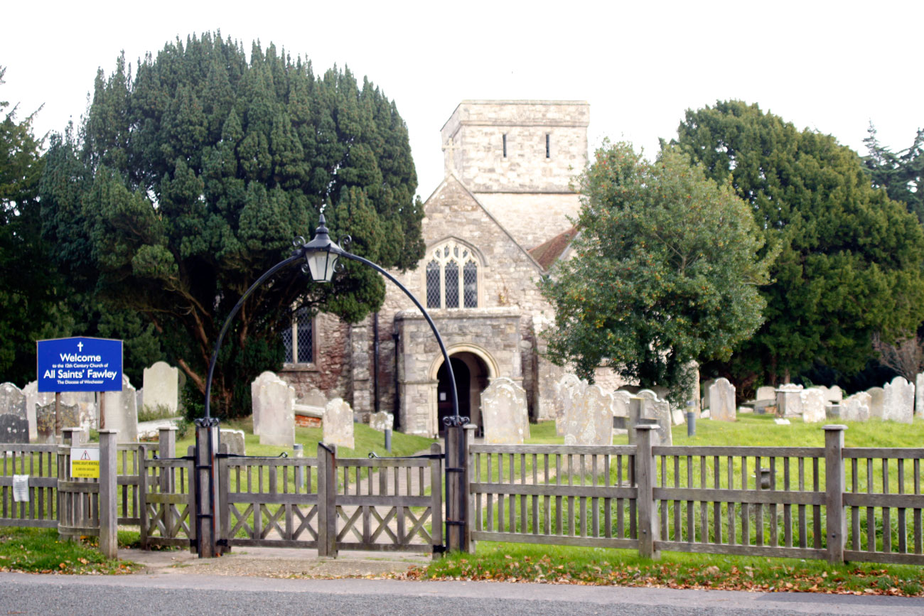
All Saints' Church, Fawley

All Saints' Church is the parish church for Fawley in the county of Hampshire. It is one of the three original medieval parish churches along the area...

Fawley Power Station

Fawley Power Station was an oil-fired power station located on the western side of Southampton Water, between the villages of Fawley and Calshot in Hampshire...

Luttrell's Tower

Luttrell's Tower is a three-storey stuccoed yellow brick folly south of Southampton, Hampshire, England, near the village of Calshot. It has a six-storey...

Nearby Amenities

Located within 500m of 50.812619,-1.3554107
Barrier: stile
Lat/Long: 50.8133267/-1.3542853
Barrier: stile
Stile: stepover
Lat/Long: 50.810611/-1.3581363
Barrier: stile
Lat/Long: 50.8114216/-1.3572508
Barrier: stile
Foot: yes
Lat/Long: 50.813242/-1.3528192
Barrier: stile
Foot: yes
Lat/Long: 50.8101635/-1.3565924
Barrier: stile
Lat/Long: 50.8100808/-1.3497022
Dean's Bridge
Place: locality
Lat/Long: 50.8090938/-1.3510548
Barrier: stile
Foot: yes
Stile: stepover
Wheelchair: no
Lat/Long: 50.8113237/-1.357419
Colour: grey
Design: three-level
Line Management: termination
Material: steel
Power: tower
Ref: LW 1
Structure: lattice
Tower Construction: lattice
Lat/Long: 50.8100635/-1.3591538
Designation: access_land
Foot: yes
Lat/Long: 50.8159372/-1.3559033
Ford: yes
Lat/Long: 50.8158101/-1.3600416
Barrier: stile
Lat/Long: 50.8104786/-1.3581619
Information: guidepost
Material: wood
Tourism: information
Lat/Long: 50.8106025/-1.3581218
The data included in this document is from www.openstreetmap.org. The data is made available under ODbL.

Have you been to Mopley Pond?

Leave your review of Mopley Pond below (or comments, questions and feedback).