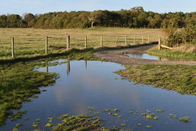
Badminston Common
Downs, Moorland in Hampshire New Forest
England
Badminston Common
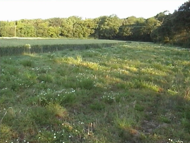
Badminston Common is a picturesque area located in Hampshire, England. It is known for its stunning downs and moorland, making it a popular spot for nature enthusiasts and outdoor activities.
Covering an area of approximately 500 hectares, Badminston Common is home to a diverse range of flora and fauna. The common is characterized by rolling hills and open grasslands, providing breathtaking panoramic views of the surrounding countryside.
The downs at Badminston Common are covered with a variety of grasses, including sheep's fescue and red fescue, which create a rich tapestry of colors throughout the seasons. In spring and summer, the downs come alive with vibrant wildflowers such as harebells and cowslips, attracting an array of butterflies and bees.
The moorland on the common is dominated by heather and gorse, providing a unique habitat for a range of bird species, including stonechats and meadow pipits. The moorland also supports a diverse population of reptiles, such as adders and common lizards.
Badminston Common offers numerous walking trails and paths that allow visitors to explore the area and immerse themselves in its natural beauty. The common is also a popular location for horse riding and cycling, with designated routes available for these activities.
Managed by the Hampshire County Council, Badminston Common is protected as a Site of Special Scientific Interest (SSSI) due to its significant ecological value. The conservation efforts in the area ensure the preservation of its unique habitats and species.
Overall, Badminston Common is a haven for nature lovers, offering a tranquil escape from the hustle and bustle of everyday life. Its downs and moorland provide a diverse and captivating landscape that is worth exploring.
If you have any feedback on the listing, please let us know in the comments section below.
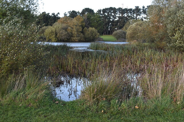
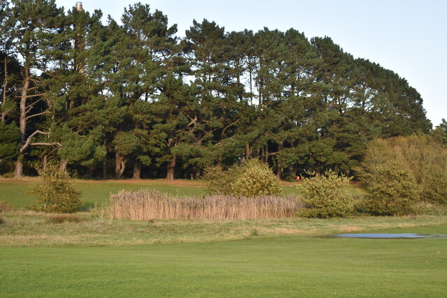
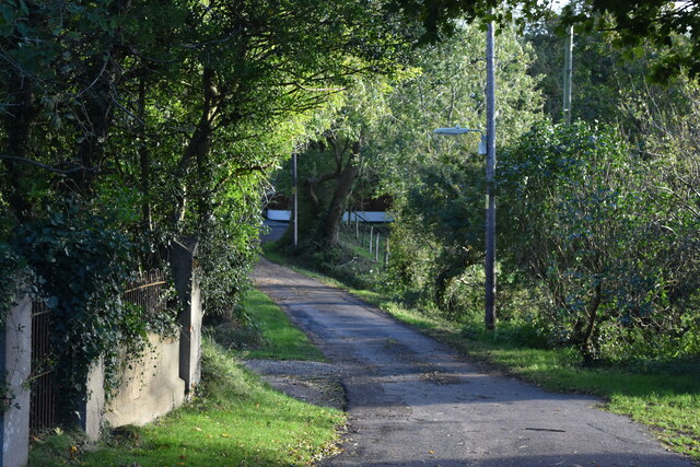
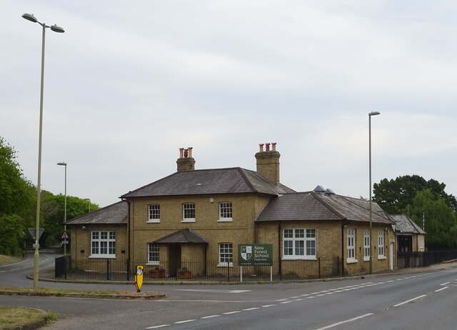
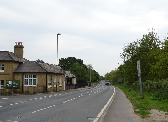
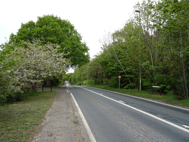
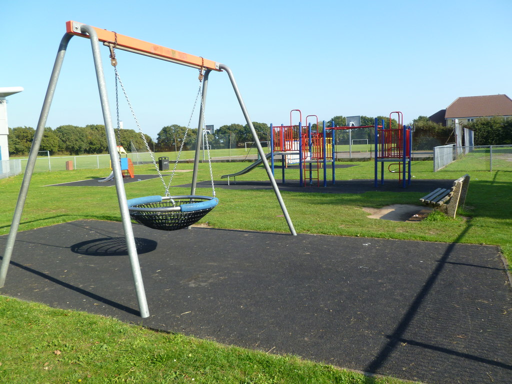
Badminston Common Images
Images are sourced within 2km of 50.813505/-1.3496783 or Grid Reference SU4501. Thanks to Geograph Open Source API. All images are credited.


Badminston Common is located at Grid Ref: SU4501 (Lat: 50.813505, Lng: -1.3496783)
Administrative County: Hampshire
District: New Forest
Police Authority: Hampshire
What 3 Words
///bulletins.gravy.angry. Near Hamble-le-Rice, Hampshire
Nearby Locations
Related Wikis

Ashlett
Ashlett is a small settlement in Hampshire, England. It is in the civil parish of Fawley. It is at the end of Ashlett Creek, a tidal inlet of Southampton...

Langley, Hampshire
Langley is a small village in the civil parish of Fawley in Hampshire, England. == History == The name Langley means "long wood/clearing". Langley is listed...

Fawley Power Station
Fawley Power Station was an oil-fired power station located on the western side of Southampton Water, between the villages of Fawley and Calshot in Hampshire...

Fawley, Hampshire
Fawley is a village and civil parish in Hampshire, England. It is situated in the New Forest on the western shore of the Solent, approximately 7 miles...
Blackfield, Hampshire
Blackfield is a village in Hampshire, England. It is within the parish of Fawley, which is part of the ward of Fawley, Blackfield and Langley. == Schools... ==
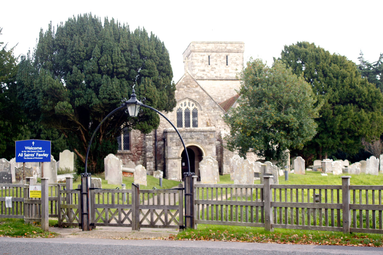
All Saints' Church, Fawley
All Saints' Church is the parish church for Fawley in the county of Hampshire. It is one of the three original medieval parish churches along the area...

Calshot
Calshot is a coastal village in Hampshire, England, at the west corner of Southampton Water where it joins the Solent. == History == In 1539, Henry VIII...

Luttrell's Tower
Luttrell's Tower is a three-storey stuccoed yellow brick folly south of Southampton, Hampshire, England, near the village of Calshot. It has a six-storey...
Nearby Amenities
Located within 500m of 50.813505,-1.3496783Have you been to Badminston Common?
Leave your review of Badminston Common below (or comments, questions and feedback).