Barlborough Low Common
Downs, Moorland in Derbyshire Bolsover
England
Barlborough Low Common
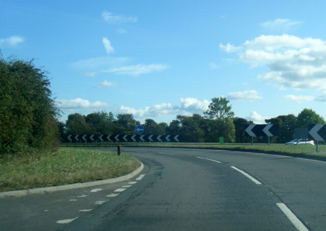
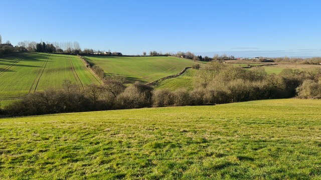
Barlborough Low Common is a vast expanse of land located in Derbyshire, England. Covering an area of approximately 450 acres, it is characterized by its diverse landscape, incorporating downs and moorland. The common is situated on the eastern edge of the county, close to the border with South Yorkshire.
The downs of Barlborough Low Common boast rolling hills and gentle slopes, providing breathtaking views of the surrounding countryside. These grassy slopes are home to a variety of plant species, including heather, gorse, and wildflowers, which add vibrant splashes of color to the landscape.
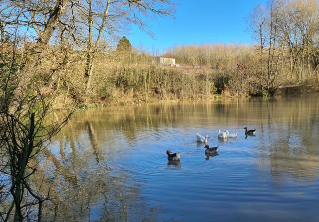
In contrast, the moorland areas of the common are characterized by their rugged terrain and peat bogs. This unique habitat is home to a range of bird species, such as curlews, lapwings, and red grouse, making it a popular spot for birdwatchers and nature enthusiasts.
Barlborough Low Common is not only a haven for wildlife but also offers recreational opportunities for visitors. Numerous walking trails crisscross the common, allowing visitors to explore its vast expanses and enjoy the tranquility of the natural surroundings. The common is also popular with horse riders and cyclists, who take advantage of the open space and scenic routes.
Overall, Barlborough Low Common is a cherished natural gem in Derbyshire, offering a diverse and picturesque landscape for visitors to enjoy. Whether it be for wildlife spotting, leisurely walks, or simply taking in the stunning views, this common is a must-visit destination for nature lovers.
If you have any feedback on the listing, please let us know in the comments section below.
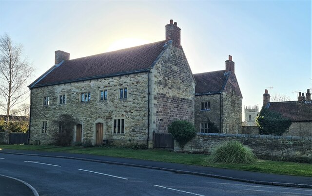
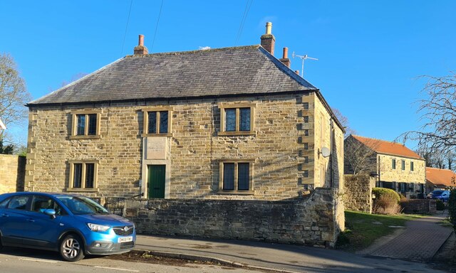
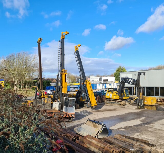
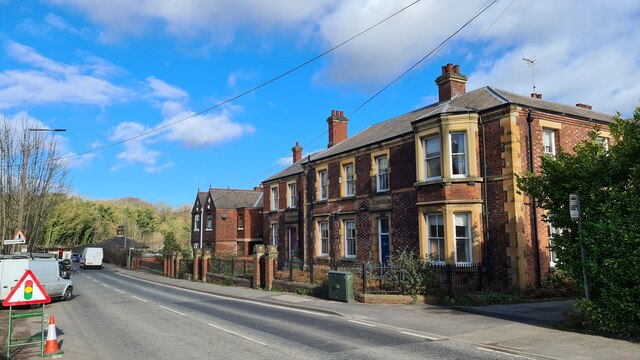
Barlborough Low Common Images
Images are sourced within 2km of 53.289669/-1.3130309 or Grid Reference SK4577. Thanks to Geograph Open Source API. All images are credited.


Barlborough Low Common is located at Grid Ref: SK4577 (Lat: 53.289669, Lng: -1.3130309)
Administrative County: Derbyshire
District: Bolsover
Police Authority: Derbyshire
What 3 Words
///slate.inch.glee. Near Barlborough, Derbyshire
Nearby Locations
Related Wikis

Beighton Fields
Beighton Fields is a village in Derbyshire, England, UK, near Renishaw and Staveley (where the population is listed). John Bruno Bowdon, of Southgate House...

Spinkhill
Spinkhill is a small village in North East Derbyshire, England. It is approximately one mile south of the nearest town, Killamarsh, and half a mile north...

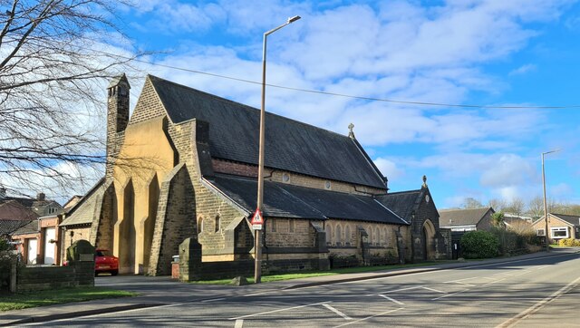
Church of the Immaculate Conception, Spinkhill
Immaculate Conception Church is a Roman Catholic Parish church in Spinkhill, Derbyshire, England. It was built in 1846 and designed by Joseph Hansom. It...

New Barlborough
New Barlborough is an area of Barlborough village, Bolsover, Derbyshire, England, consisting of several housing estates and a single row of houses along...

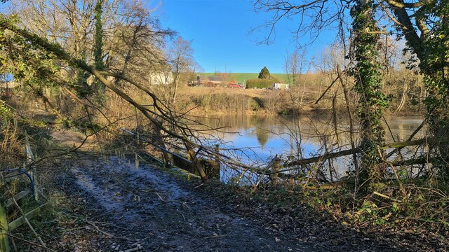
River Doe Lea
The River Doe Lea is a river which flows near Glapwell and Doe Lea in Derbyshire, England. The river eventually joins the River Rother near Renishaw. The...

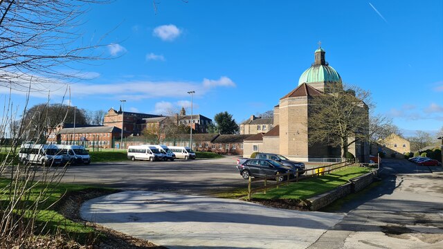
Mount St Mary's College
Mount St Mary's College is an independent, co-educational, day and boarding school situated at Spinkhill, Derbyshire, England. It was founded in 1842 by...

Renishaw Central railway station
Renishaw Central is a former railway station in Renishaw, Derbyshire, England. From its opening the station was named Eckington and Renishaw, but it was...
Spinkhill Tunnel
Spinkhill Tunnel is a disused twin-track railway tunnel south of Spinkhill railway station in Derbyshire, England. == History == The 501 yards long tunnel...
Nearby Amenities
Located within 500m of 53.289669,-1.3130309Have you been to Barlborough Low Common?
Leave your review of Barlborough Low Common below (or comments, questions and feedback).