Great Pond
Lake, Pool, Pond, Freshwater Marsh in Derbyshire Bolsover
England
Great Pond
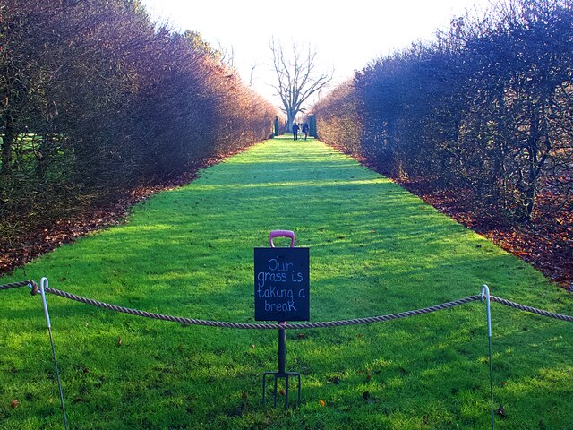
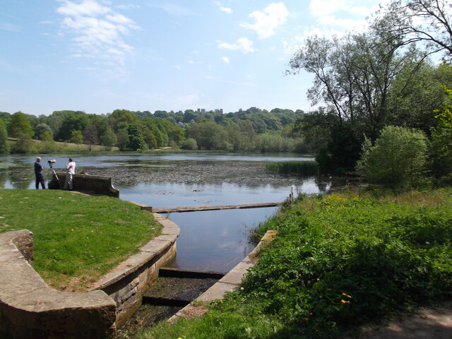
Great Pond is a picturesque freshwater marsh located in the county of Derbyshire, England. Covering an area of approximately 5 acres, it is known for its tranquil and serene environment, making it a popular destination for nature enthusiasts and visitors seeking a peaceful retreat.
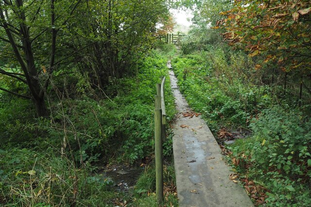
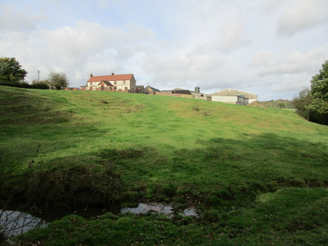
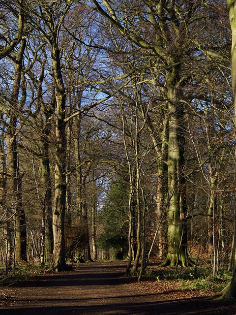
Situated amidst rolling hills and lush greenery, Great Pond offers a stunning natural landscape. Its calm and crystal-clear water serves as a habitat for various aquatic plants and animals, making it a haven for biodiversity. The pond is surrounded by reed beds, which provide nesting grounds for a wide range of waterfowl, such as mallards, coots, and moorhens.
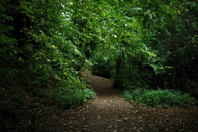
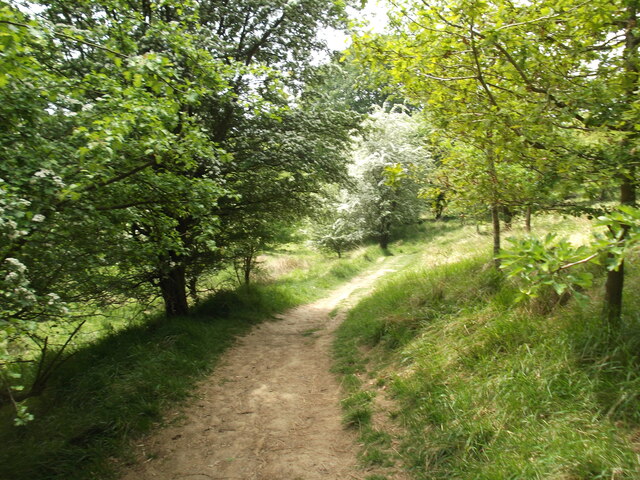
The marshy vegetation around Great Pond is characterized by tall grasses, rushes, and sedges, which thrive in the damp conditions. This creates a unique ecosystem that supports a diverse range of wildlife, including dragonflies, frogs, and newts. Birdwatchers are often treated to sightings of warblers, herons, and occasional visits from migratory birds.
For those seeking outdoor activities, Great Pond offers opportunities for fishing and boating. Anglers can enjoy the tranquility of the pond while trying their luck at catching carp, tench, and perch. Boating enthusiasts can explore the calm waters, taking in the scenic surroundings and appreciating the abundance of nature.
Great Pond is easily accessible, with a designated parking area and footpaths that allow visitors to explore the area at their own pace. Whether one chooses to simply admire the beauty of the pond or engage in recreational activities, Great Pond offers a peaceful and idyllic setting that showcases the natural wonders of Derbyshire.
If you have any feedback on the listing, please let us know in the comments section below.
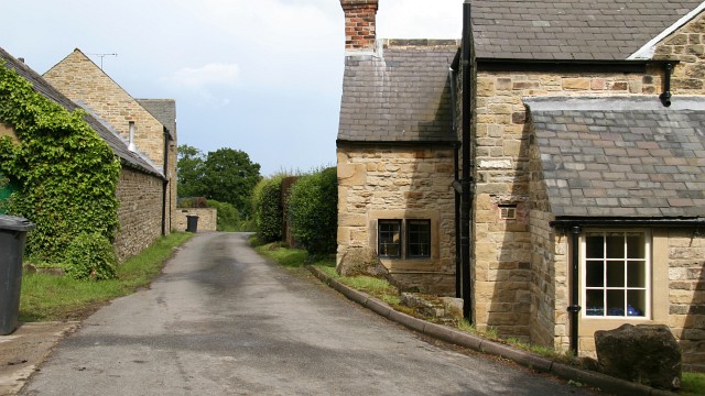
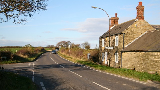
Great Pond Images
Images are sourced within 2km of 53.169522/-1.3208895 or Grid Reference SK4563. Thanks to Geograph Open Source API. All images are credited.


Great Pond is located at Grid Ref: SK4563 (Lat: 53.169522, Lng: -1.3208895)
Administrative County: Derbyshire
District: Bolsover
Police Authority: Derbyshire
What 3 Words
///collision.swanky.coder. Near Tibshelf, Derbyshire
Nearby Locations
Related Wikis

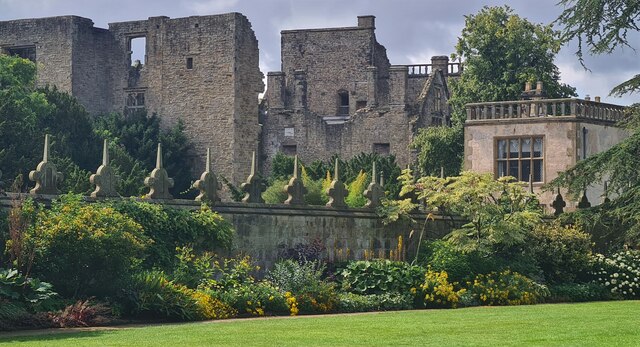
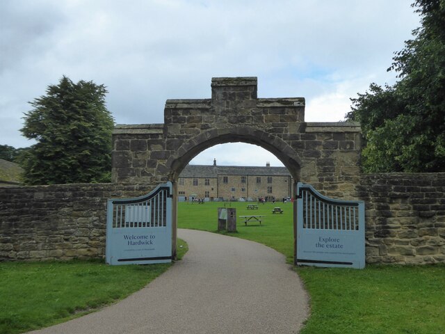
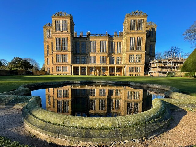
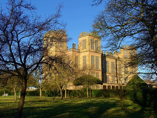
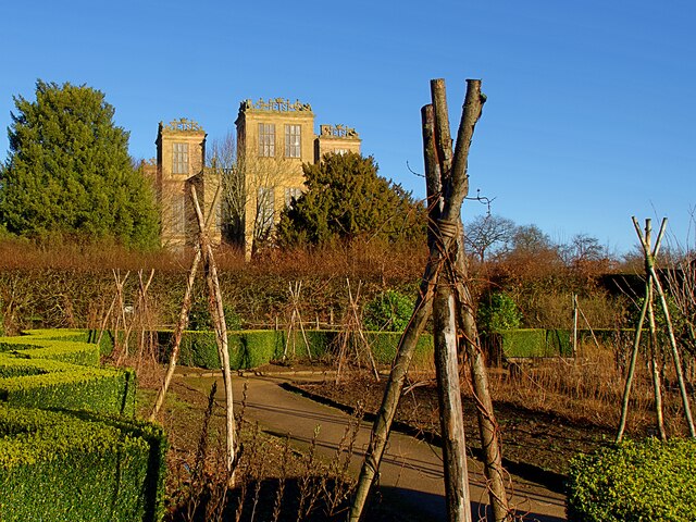
Hardwick Hall
Hardwick Hall in Derbyshire is an architecturally significant country house from the Elizabethan era, a leading example of the Elizabethan prodigy house...

Blackwell Rural District
Blackwell was a rural district in Derbyshire, England from 1894 to 1974. It was created under the Local Government Act 1894 based on that part of the...
Astwith
Astwith is a village in Derbyshire, England. Astwith is in the parish of Ault Hucknall. For many decades it was a part of the manor of Stainsby, which...

Bramley Vale
Bramley Vale is a village in Derbyshire, England, south of Bolsover. It is in the civil parish of Ault Hucknall. == History == Bramley Vale is a former...

Stainsby Mill
Stainsby Mill is a 19th-century flour watermill in Doe Lea, Chesterfield, Derbyshire, England. The mill, which has been restored to full working order...
Hardstoft
Hardstoft is a hamlet in Derbyshire, England. It is located four miles east of Clay Cross, on the B6039 road. The Mexican Eagle Petroleum Company found...

Stainsby, Derbyshire
Stainsby is a small village in Derbyshire, England. It is near Chesterfield and Bolsover, and the villages of Heath and Doe Lea. The village population...

St John the Baptist's Church, Ault Hucknall
St John the Baptist's Church, Ault Hucknall, is a Grade I listed parish church in the Church of England in Ault Hucknall, Derbyshire. == History == The...
Nearby Amenities
Located within 500m of 53.169522,-1.3208895Have you been to Great Pond?
Leave your review of Great Pond below (or comments, questions and feedback).