Rowboroughdown Bottom
Valley in Hampshire
England
Rowboroughdown Bottom
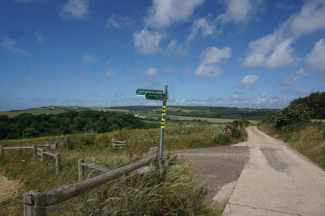
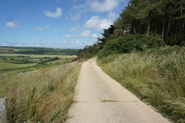
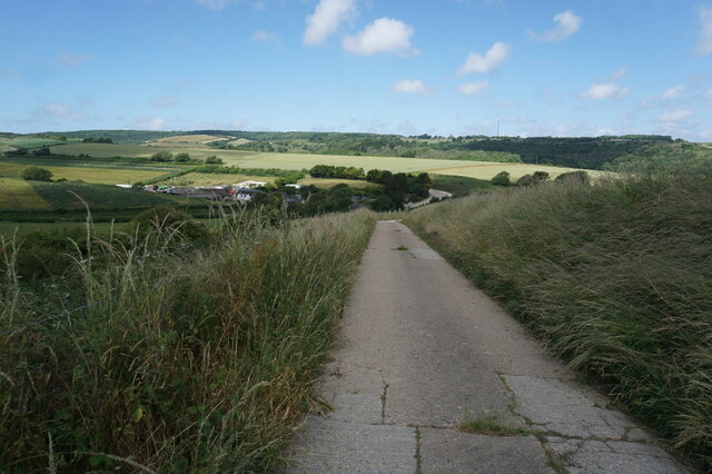
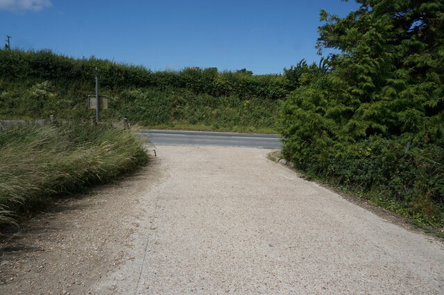
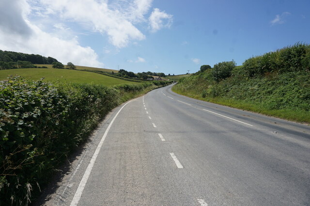
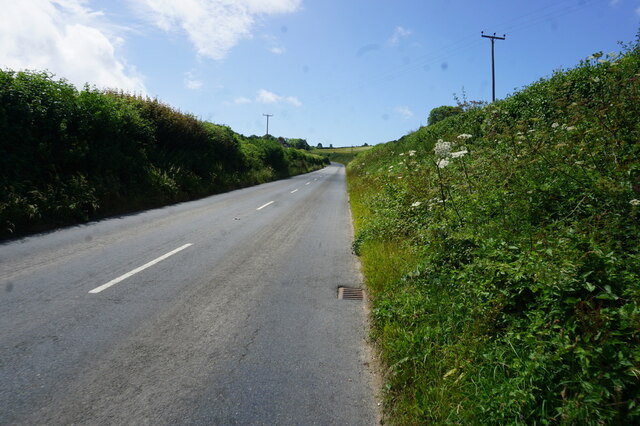
Rowboroughdown Bottom is a picturesque valley located in the county of Hampshire, England. Nestled amidst the rolling hills of the South Downs, this idyllic spot offers a tranquil escape from the hustle and bustle of city life. The valley is situated near the village of Rowboroughdown, which is renowned for its stunning natural beauty.
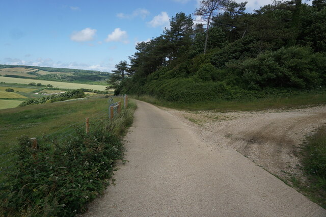
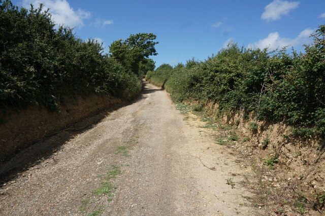
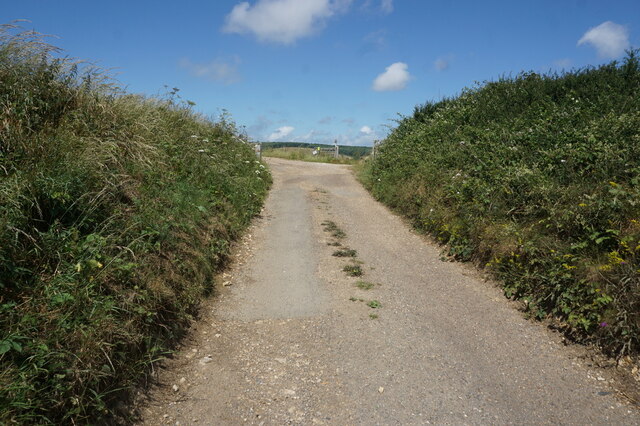
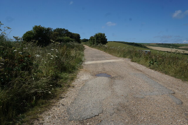
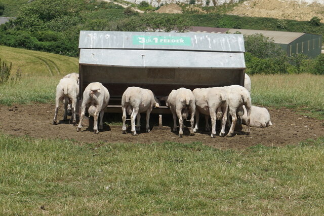
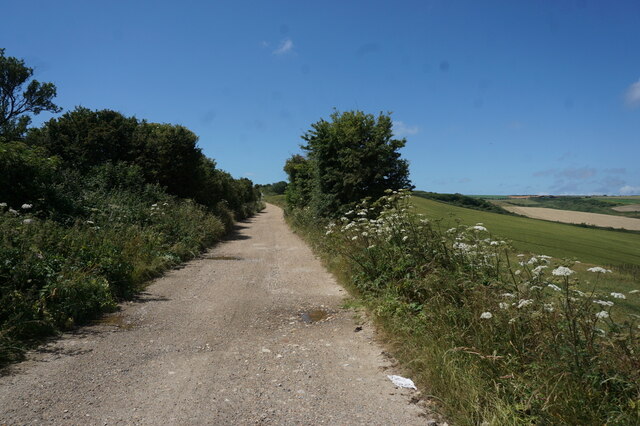
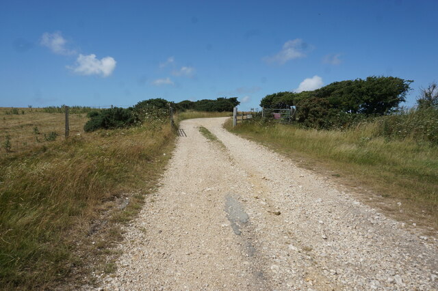
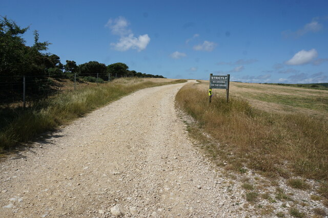
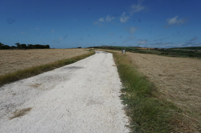
Characterized by its lush greenery and meandering streams, Rowboroughdown Bottom is a haven for nature lovers and outdoor enthusiasts. The valley is home to a diverse range of flora and fauna, including rare species such as the purple emperor butterfly and the lesser horseshoe bat. It boasts an array of walking trails, allowing visitors to explore the area's rich biodiversity and enjoy breathtaking views of the surrounding countryside.
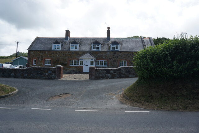
The valley also holds historical significance, with evidence of human habitation dating back thousands of years. Archaeological excavations have unearthed ancient artifacts, including pottery shards and flint tools, providing insights into the lives of the early settlers in the region.
Rowboroughdown Bottom is a popular destination for birdwatching, with a variety of avian species frequenting the area. Visitors may spot birds such as the red kite, barn owl, and skylark, among others. The valley's peaceful ambiance and ample wildlife make it an ideal location for photographers and nature enthusiasts seeking to capture the beauty of the English countryside.
Overall, Rowboroughdown Bottom in Hampshire offers a serene and picturesque setting, where visitors can immerse themselves in nature and experience the charm of rural England.
If you have any feedback on the listing, please let us know in the comments section below.
Rowboroughdown Bottom Images
Images are sourced within 2km of 50.665248/-1.3590711 or Grid Reference SZ4585. Thanks to Geograph Open Source API. All images are credited.
Rowboroughdown Bottom is located at Grid Ref: SZ4585 (Lat: 50.665248, Lng: -1.3590711)
Unitary Authority: Isle of Wight
Police Authority: Hampshire
What 3 Words
///chairing.resorting.chuck. Near Brighstone, Isle of Wight
Nearby Locations
Related Wikis

Bowcombe
Bowcombe is a hamlet on the Isle of Wight. It has an elevation of 144 feet (44 m) and is located 2+1⁄2 miles (4 km) southwest of Newport in the centre...

Rowridge Valley
Rowridge Valley is a 39.8-hectare (98-acre) Site of Special Scientific Interest (SSSI) that is 2 km (1.2 mi) east of the village of Calbourne and just...
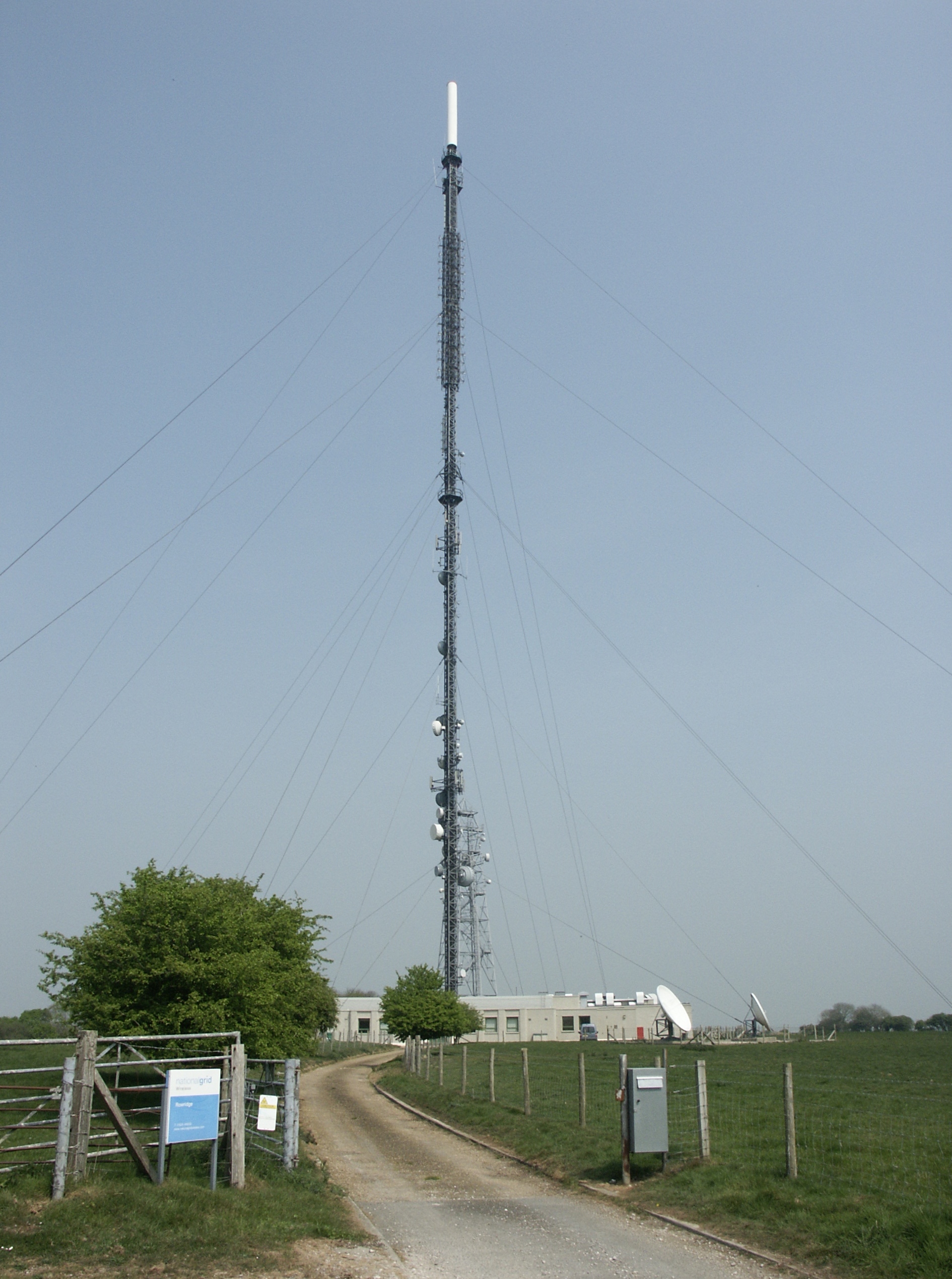
Rowridge transmitting station
The Rowridge transmitting station is a facility for FM radio and television transmission at Rowridge on the Isle of Wight in southern England. It currently...
Rowridge
Rowridge is a hamlet on the Isle of Wight towards the west in an area known as West Wight. It is the location of the Rowridge transmitting station, a 149...
Garstons Down
Garston's Down is an area of downland on the Isle of Wight, rising to an altitude of 151 m (495 ft). It is located in the centre of the island, south of...
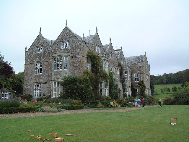
Northcourt Manor
Northcourt Manor is one of three manor houses, along with Woolverton and Westcourt, that is located in Shorwell, on the Isle of Wight, England. It was...

Apesdown
Apesdown is a hamlet on the Isle of Wight towards the west in an area known as West Wight. It is situated on the B3401 road between Carisbrooke and Calbourne...

Brighstone Forest
Brighstone Forest is located in the southwest of the Isle of Wight. It is the largest forest on the Isle of Wight, being just a few hectares larger than...
Nearby Amenities
Located within 500m of 50.665248,-1.3590711Have you been to Rowboroughdown Bottom?
Leave your review of Rowboroughdown Bottom below (or comments, questions and feedback).