Idlecombe Down
Downs, Moorland in Hampshire
England
Idlecombe Down
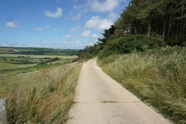
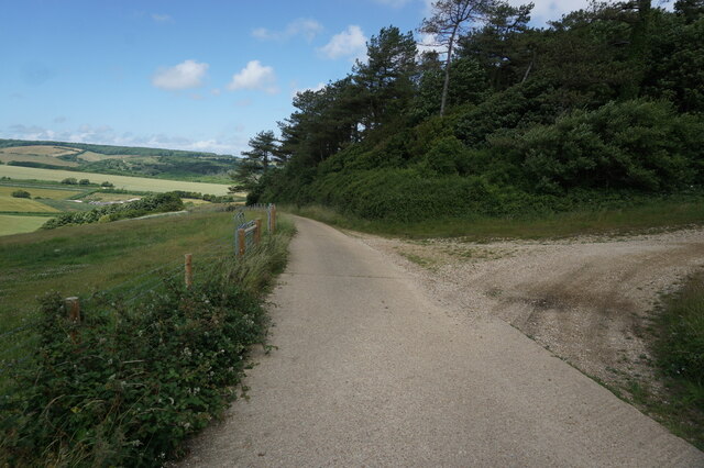
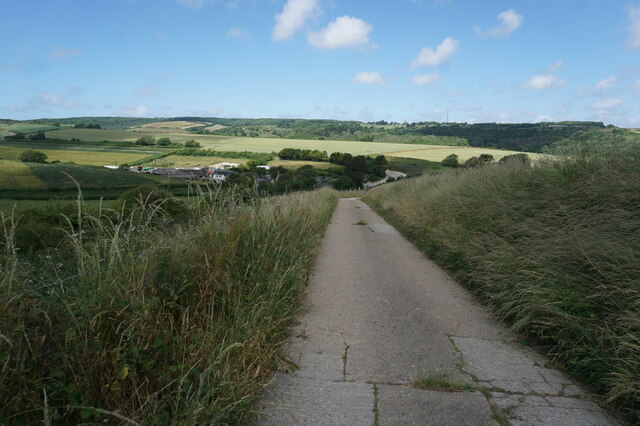
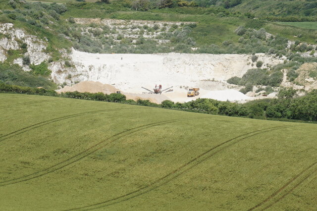
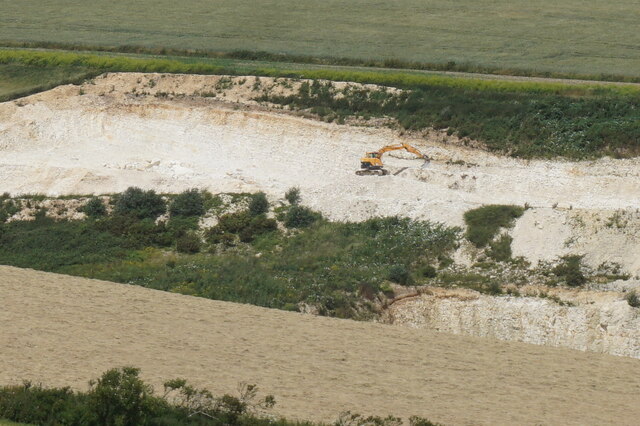
Idlecombe Down is a picturesque area located in the county of Hampshire, England. Situated on the western edge of the South Downs National Park, it is known for its stunning natural beauty and diverse wildlife. Covering an area of approximately 200 hectares, Idlecombe Down is a combination of downs and moorland.
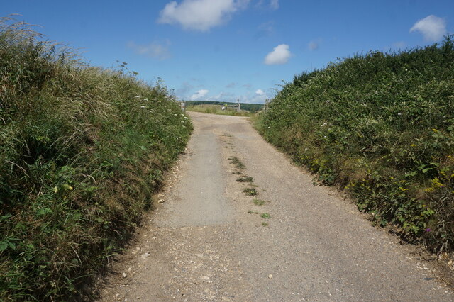
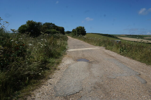
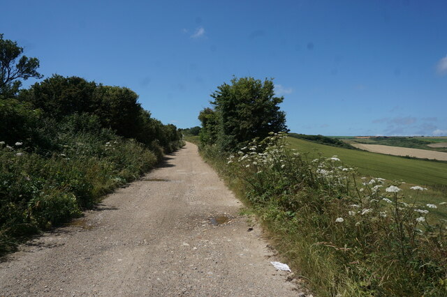
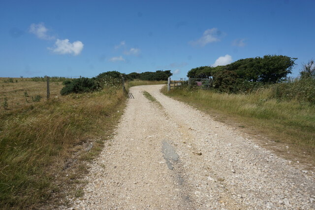
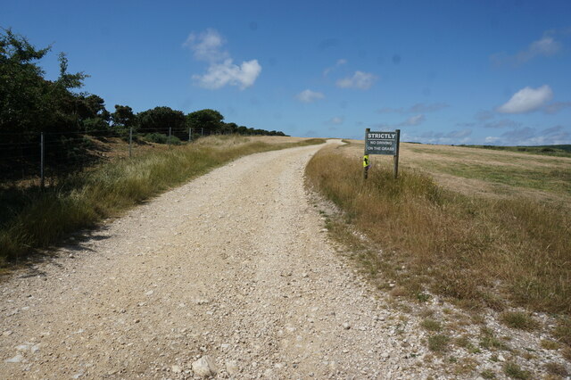
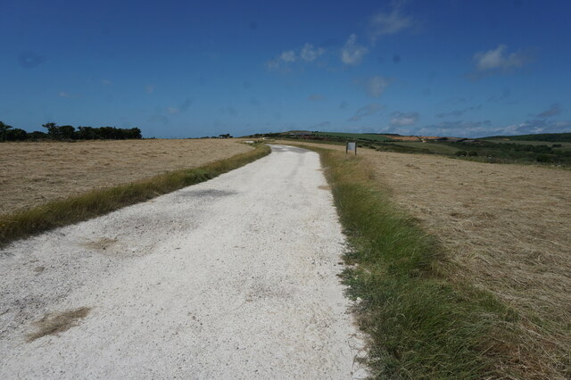
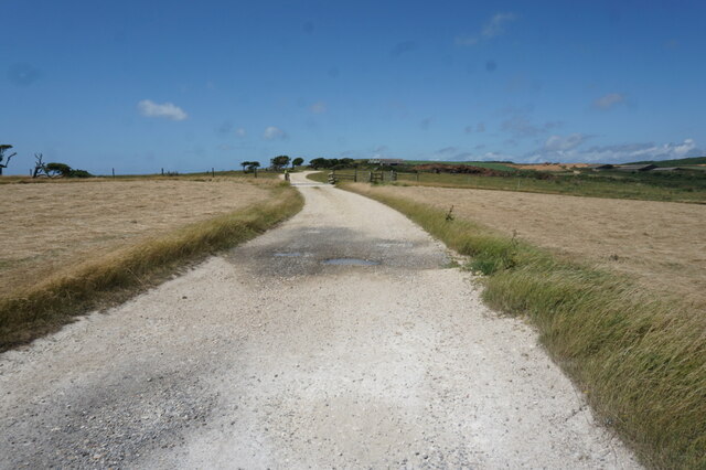
The terrain of Idlecombe Down is characterized by rolling hills and open grasslands, offering breathtaking panoramic views of the surrounding countryside. The area is abundant in a variety of flora and fauna, including a wide range of wildflowers, grasses, and heather. Visitors to the Down can enjoy leisurely walks along the many footpaths and trails that crisscross the landscape, immersing themselves in the tranquility of nature.
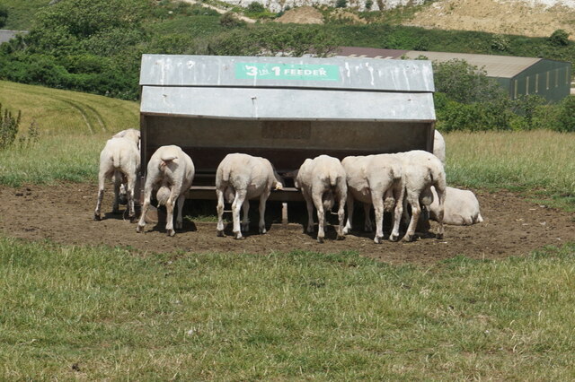
Idlecombe Down is also home to a rich and diverse wildlife population. The open grasslands provide an ideal habitat for numerous bird species, including skylarks, meadow pipits, and stonechats. The heathland areas support a variety of reptiles, such as adders and common lizards, while the woodland edges attract small mammals like rabbits and foxes.
The area is managed by the South Downs National Park Authority, which ensures the conservation and protection of Idlecombe Down's natural habitat. Visitors can learn more about the Down's unique ecosystem at the nearby visitor center, which offers educational exhibits and guided walks.
Overall, Idlecombe Down offers a peaceful retreat for nature lovers, with its stunning landscapes, diverse wildlife, and opportunities for outdoor activities. It is a must-visit destination for those seeking to immerse themselves in Hampshire's natural beauty.
If you have any feedback on the listing, please let us know in the comments section below.
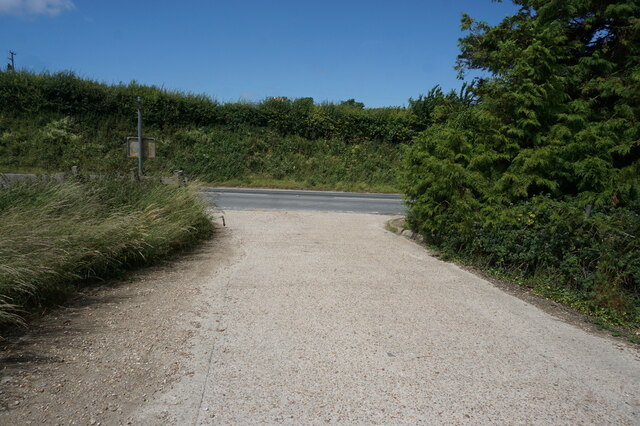
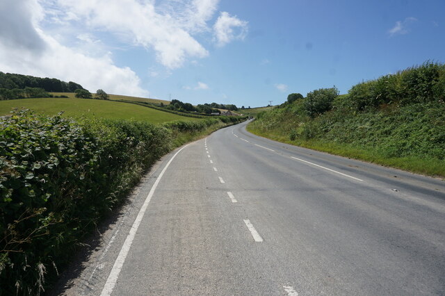
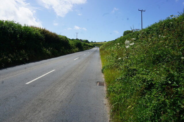
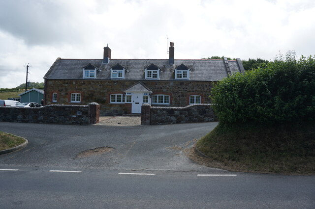
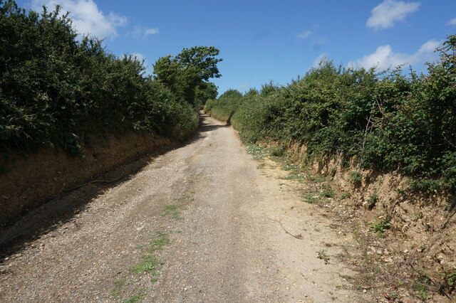
Idlecombe Down Images
Images are sourced within 2km of 50.666391/-1.3624797 or Grid Reference SZ4585. Thanks to Geograph Open Source API. All images are credited.
Idlecombe Down is located at Grid Ref: SZ4585 (Lat: 50.666391, Lng: -1.3624797)
Unitary Authority: Isle of Wight
Police Authority: Hampshire
What 3 Words
///slanting.engraving.points. Near Brighstone, Isle of Wight
Nearby Locations
Related Wikis

Bowcombe
Bowcombe is a hamlet on the Isle of Wight. It has an elevation of 144 feet (44 m) and is located 2+1⁄2 miles (4 km) southwest of Newport in the centre...

Rowridge Valley
Rowridge Valley is a 39.8-hectare (98-acre) Site of Special Scientific Interest (SSSI) that is 2 km (1.2 mi) east of the village of Calbourne and just...
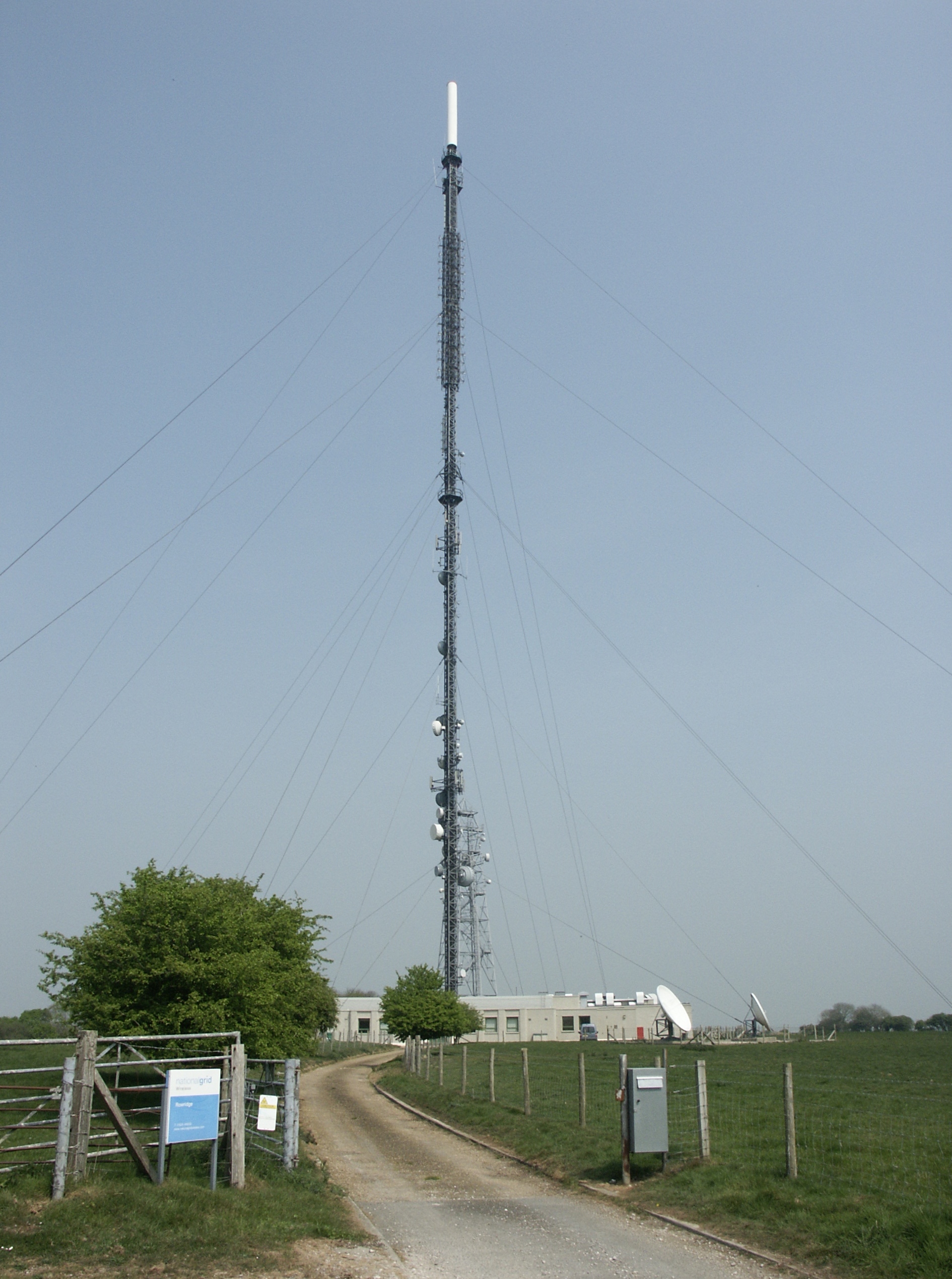
Rowridge transmitting station
The Rowridge transmitting station is a facility for FM radio and television transmission at Rowridge on the Isle of Wight in southern England. It currently...
Rowridge
Rowridge is a hamlet on the Isle of Wight towards the west in an area known as West Wight. It is the location of the Rowridge transmitting station, a 149...

Brighstone Forest
Brighstone Forest is located in the southwest of the Isle of Wight. It is the largest forest on the Isle of Wight, being just a few hectares larger than...

Apesdown
Apesdown is a hamlet on the Isle of Wight towards the west in an area known as West Wight. It is situated on the B3401 road between Carisbrooke and Calbourne...
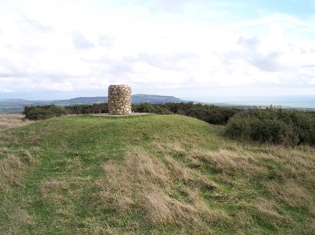
Brighstone Down
Brighstone Down is a chalk down on the Isle of Wight. It is located close to the village of Brighstone, in the southwest of the island (the Back of the...
Garstons Down
Garston's Down is an area of downland on the Isle of Wight, rising to an altitude of 151 m (495 ft). It is located in the centre of the island, south of...
Nearby Amenities
Located within 500m of 50.666391,-1.3624797Have you been to Idlecombe Down?
Leave your review of Idlecombe Down below (or comments, questions and feedback).