Rowborough Bottom
Valley in Hampshire
England
Rowborough Bottom
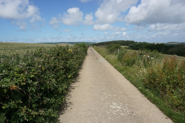
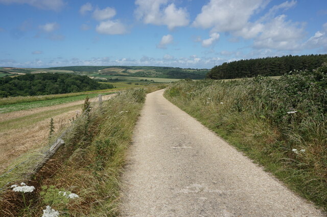
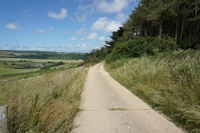
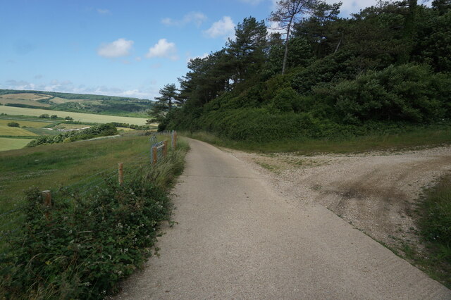
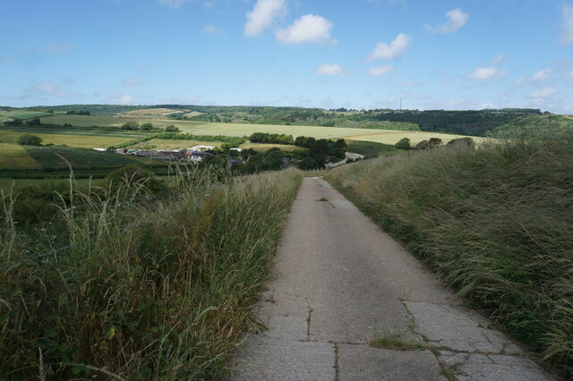
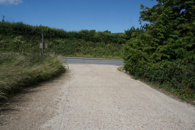
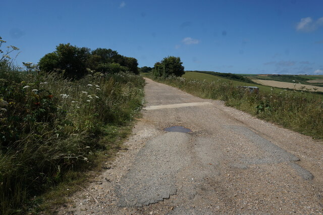
Rowborough Bottom is a picturesque valley located in the county of Hampshire, England. Situated in the South Downs National Park, this idyllic area is renowned for its natural beauty and tranquil surroundings.
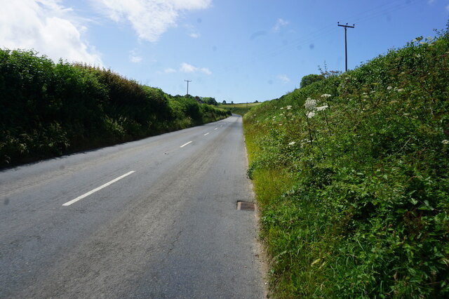
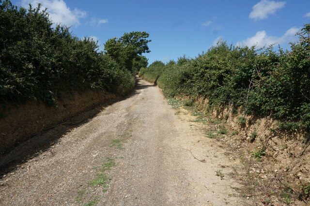
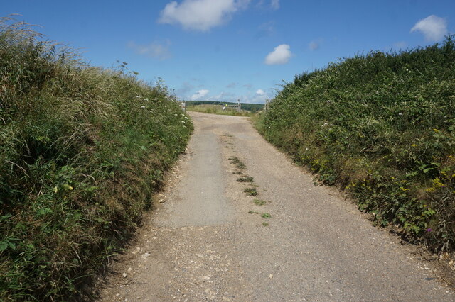
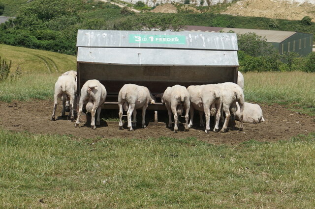
Nestled between rolling hills, Rowborough Bottom offers visitors a peaceful escape from the hustle and bustle of city life. The valley is characterized by its lush green meadows, dense woodlands, and meandering streams, creating a diverse and rich ecosystem. The area is home to a variety of plant and animal species, making it a haven for nature enthusiasts and wildlife lovers.
The valley is also steeped in history, with evidence of human habitation dating back to prehistoric times. Archaeological discoveries have revealed the presence of ancient burial mounds and artifacts, showcasing the area's rich cultural heritage.
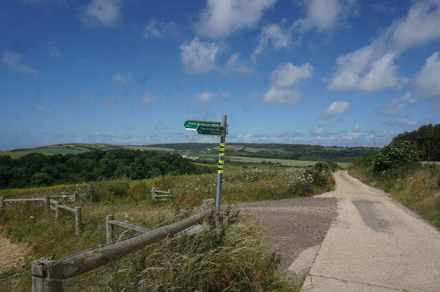
Rowborough Bottom provides an array of recreational activities for outdoor enthusiasts. The valley offers numerous walking trails, allowing visitors to explore the stunning countryside and take in breathtaking views along the way. The peaceful streams are ideal for fishing, and the woodlands provide ample opportunities for birdwatching and wildlife spotting.
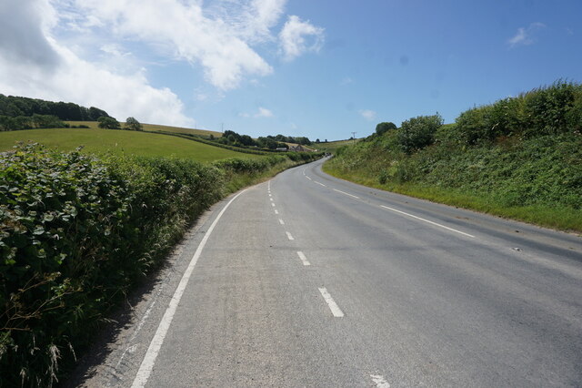
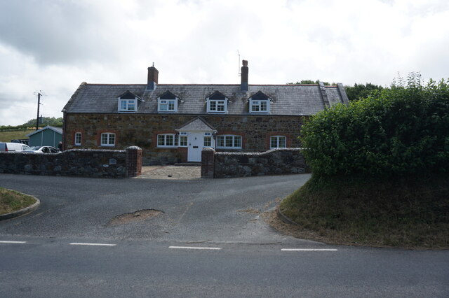
The valley is also within close proximity to several charming villages, where visitors can find quaint country pubs, local shops, and historic landmarks. Additionally, the nearby town of Petersfield offers a range of amenities, including restaurants, accommodations, and cultural attractions.
In conclusion, Rowborough Bottom is a hidden gem in Hampshire, offering visitors a chance to connect with nature, explore local history, and enjoy the tranquility of the South Downs National Park.
If you have any feedback on the listing, please let us know in the comments section below.
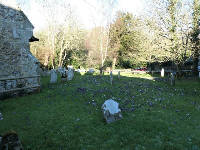
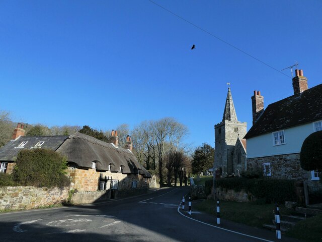
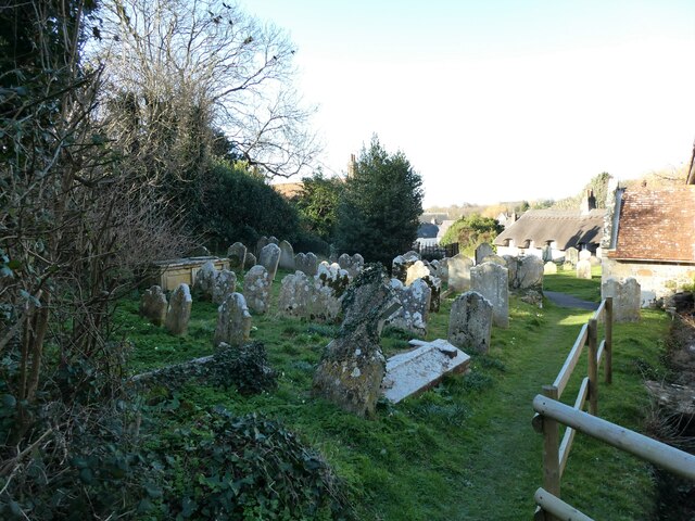
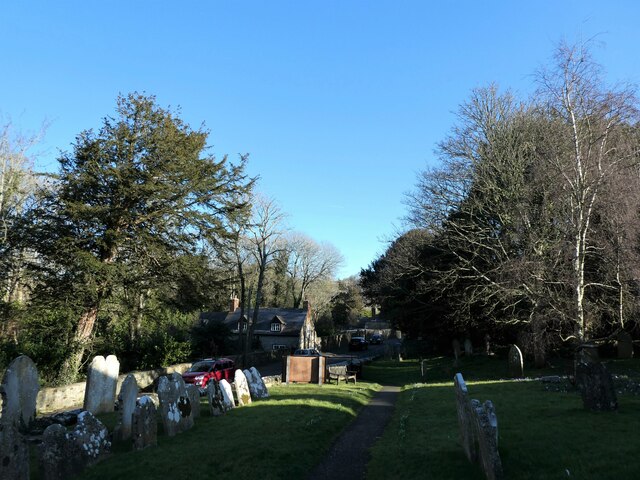
Rowborough Bottom Images
Images are sourced within 2km of 50.660818/-1.3613809 or Grid Reference SZ4584. Thanks to Geograph Open Source API. All images are credited.
Rowborough Bottom is located at Grid Ref: SZ4584 (Lat: 50.660818, Lng: -1.3613809)
Unitary Authority: Isle of Wight
Police Authority: Hampshire
What 3 Words
///snug.shrugging.glides. Near Brighstone, Isle of Wight
Nearby Locations
Related Wikis

Bowcombe
Bowcombe is a hamlet on the Isle of Wight. It has an elevation of 144 feet (44 m) and is located 2+1⁄2 miles (4 km) southwest of Newport in the centre...
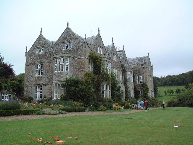
Northcourt Manor
Northcourt Manor is one of three manor houses, along with Woolverton and Westcourt, that is located in Shorwell, on the Isle of Wight, England. It was...

Rowridge Valley
Rowridge Valley is a 39.8-hectare (98-acre) Site of Special Scientific Interest (SSSI) that is 2 km (1.2 mi) east of the village of Calbourne and just...
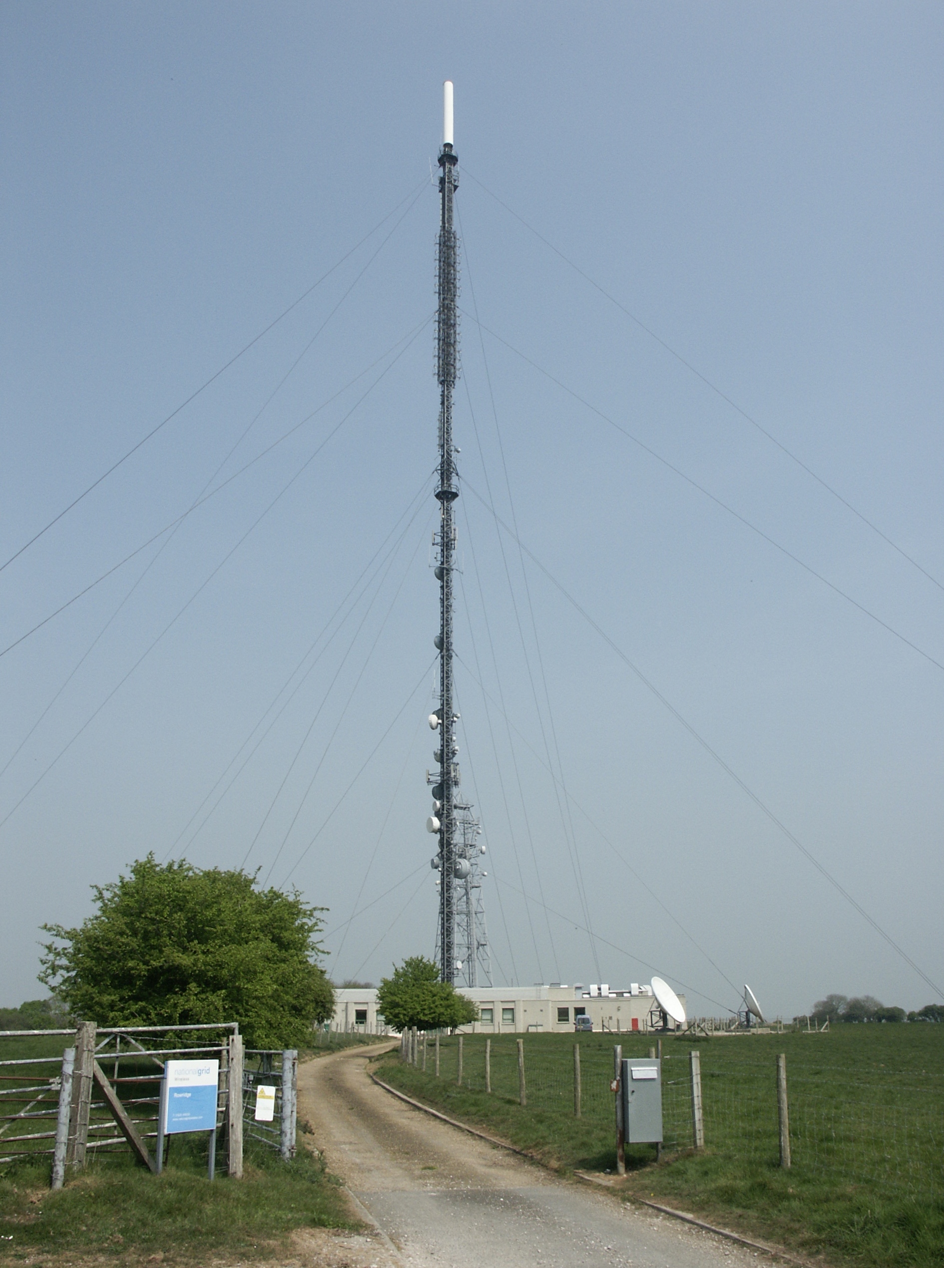
Rowridge transmitting station
The Rowridge transmitting station is a facility for FM radio and television transmission at Rowridge on the Isle of Wight in southern England. It currently...
Rowridge
Rowridge is a hamlet on the Isle of Wight towards the west in an area known as West Wight. It is the location of the Rowridge transmitting station, a 149...

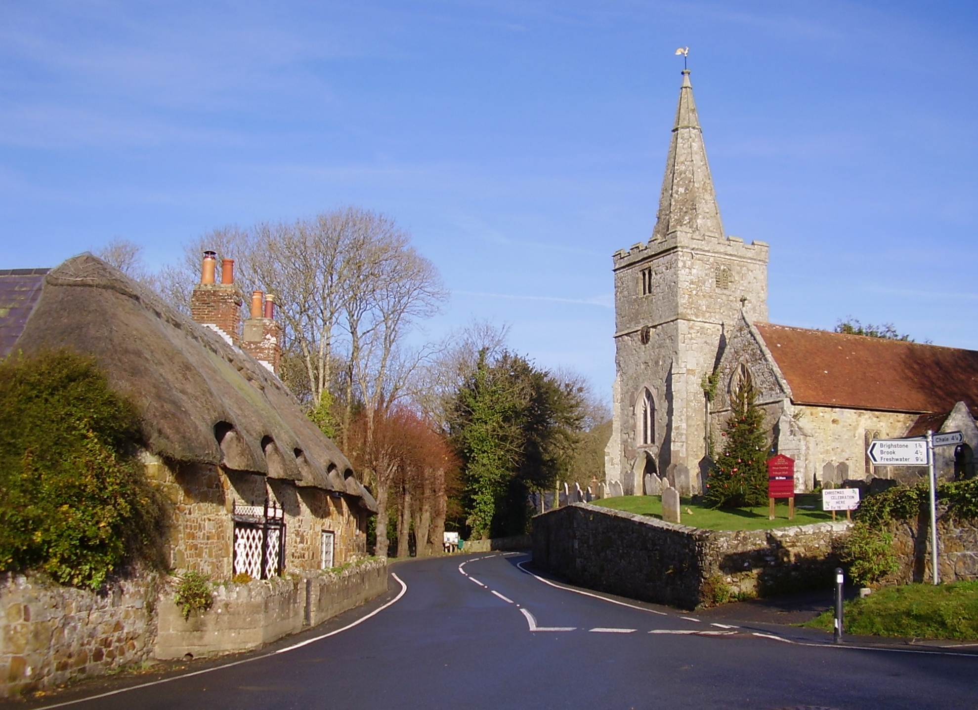
St Peter's Church, Shorwell
St. Peter's Church, Shorwell is a parish church in the Church of England located in Shorwell, Isle of Wight. == History == The church is medieval.The interior...
Shorwell
Shorwell (pronounced Shorrel by some locals and Islanders) is a village and civil parish on the Isle of Wight, United Kingdom. It is 4+1⁄2 miles (7.2 km...
Garstons Down
Garston's Down is an area of downland on the Isle of Wight, rising to an altitude of 151 m (495 ft). It is located in the centre of the island, south of...
Nearby Amenities
Located within 500m of 50.660818,-1.3613809Have you been to Rowborough Bottom?
Leave your review of Rowborough Bottom below (or comments, questions and feedback).