Rookham Bottom
Valley in Hampshire New Forest
England
Rookham Bottom
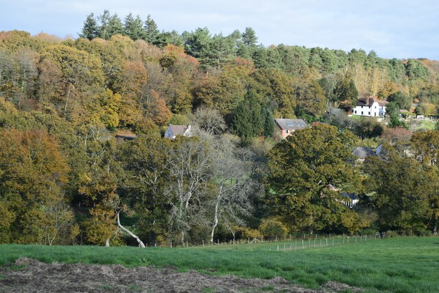
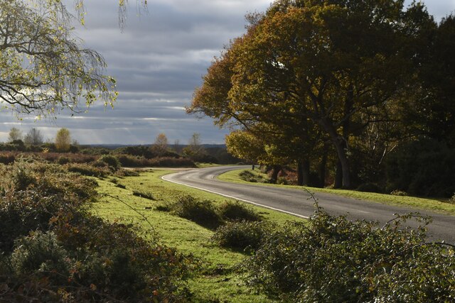
Rookham Bottom is a picturesque valley located in the county of Hampshire, England. Situated near the tranquil village of Rookham, the valley is nestled amidst the rolling hills and lush green countryside that Hampshire is renowned for. With its idyllic rural setting, Rookham Bottom offers visitors a peaceful retreat away from the bustling city life.
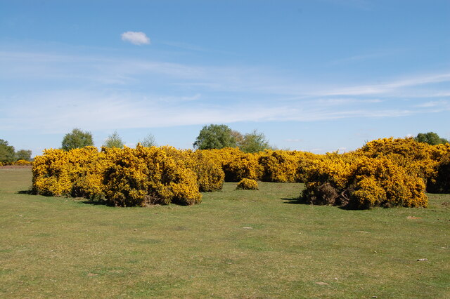
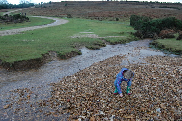
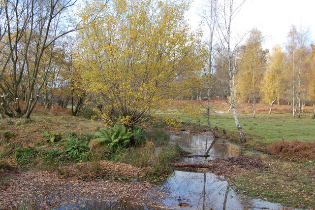
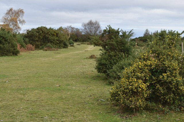
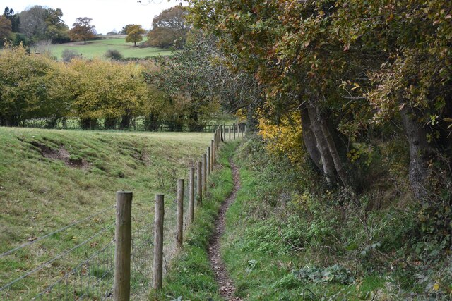
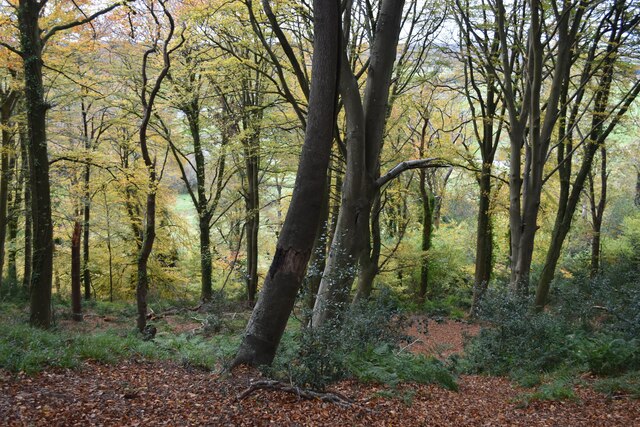
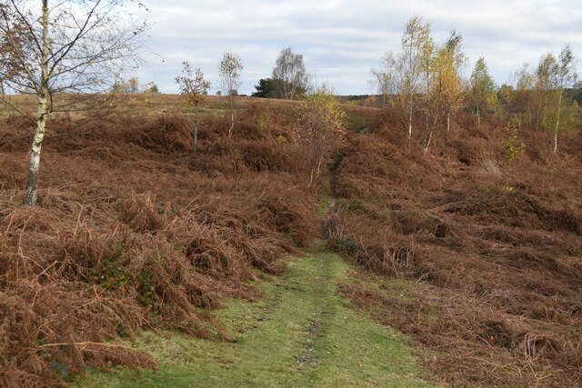
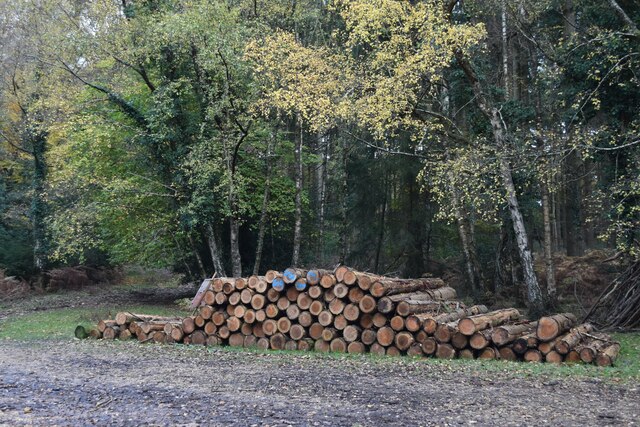
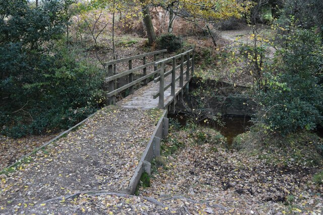
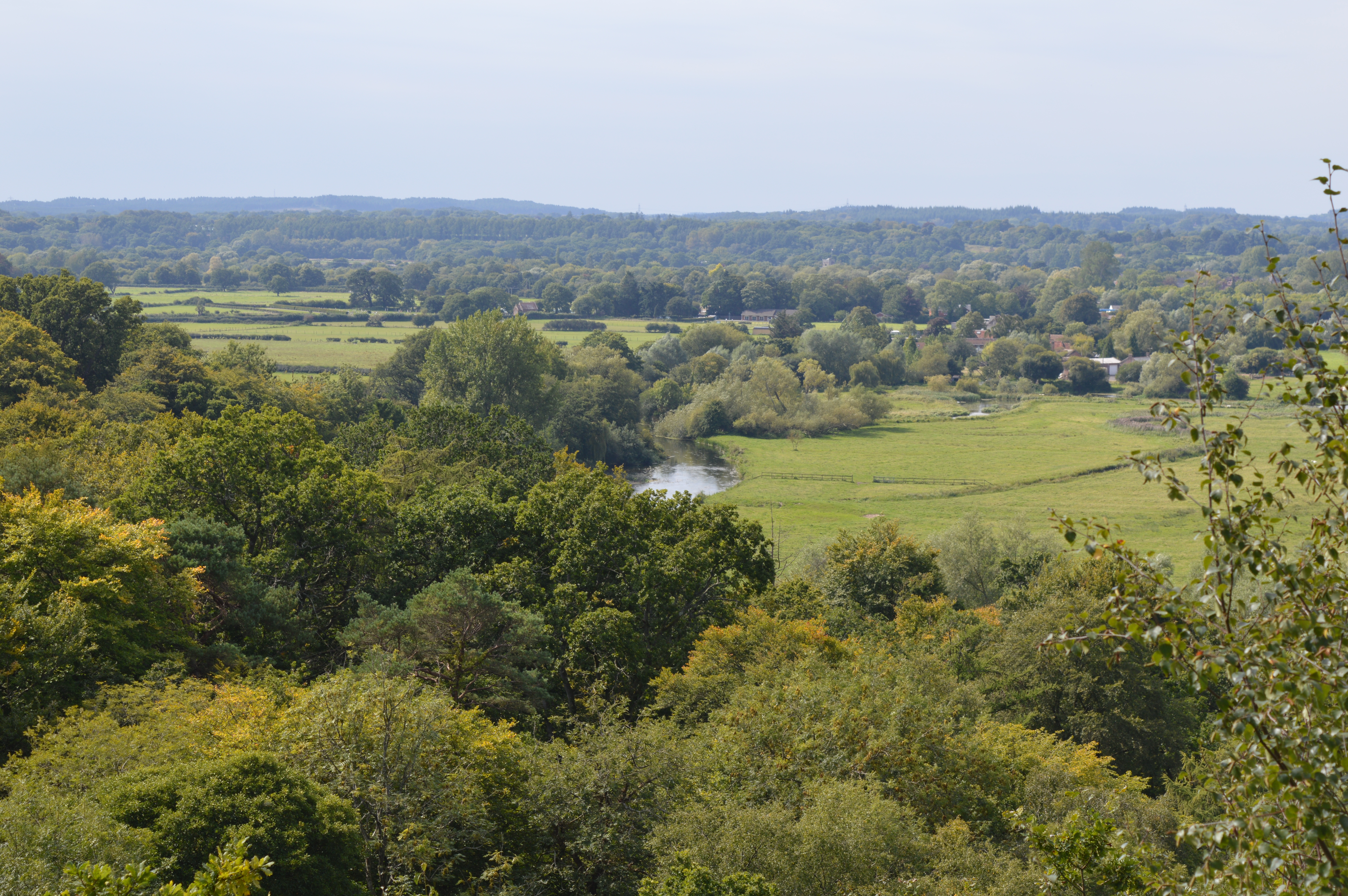
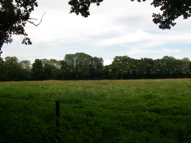
The valley is characterized by its stunning natural beauty, featuring a meandering river that runs through its heart. Lined with trees and surrounded by verdant meadows, Rookham Bottom showcases a diverse range of flora and fauna, making it a haven for nature enthusiasts and wildlife lovers. The tranquil ambiance of the valley is further enhanced by the gentle sound of the river flowing and the melodious chirping of birds.
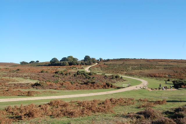
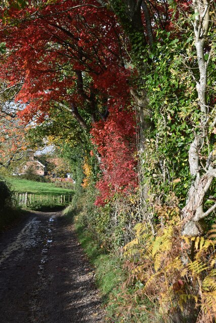
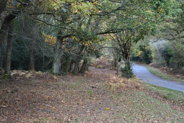
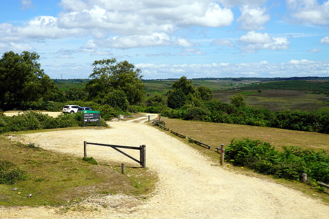
Rookham Bottom is also home to several walking trails and footpaths, allowing visitors to explore its scenic surroundings on foot. These trails offer breathtaking views of the valley, providing ample opportunities for photography and sightseeing. Additionally, the valley boasts a small picnic area, perfect for families and friends to relax and enjoy a leisurely day out in nature.
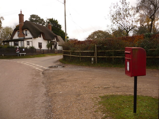
The nearby village of Rookham offers basic amenities such as parking facilities and a quaint café, where visitors can grab a bite to eat or enjoy a warm cup of tea. Rookham Bottom truly epitomizes the quintessential English countryside, offering a peaceful and picturesque escape for those seeking a break from the hectic pace of modern life.
If you have any feedback on the listing, please let us know in the comments section below.
Rookham Bottom Images
Images are sourced within 2km of 50.932735/-1.7468502 or Grid Reference SU1714. Thanks to Geograph Open Source API. All images are credited.

Rookham Bottom is located at Grid Ref: SU1714 (Lat: 50.932735, Lng: -1.7468502)
Administrative County: Hampshire
District: New Forest
Police Authority: Hampshire
What 3 Words
///shelving.sprouting.dries. Near Fordingbridge, Hampshire
Nearby Locations
Related Wikis
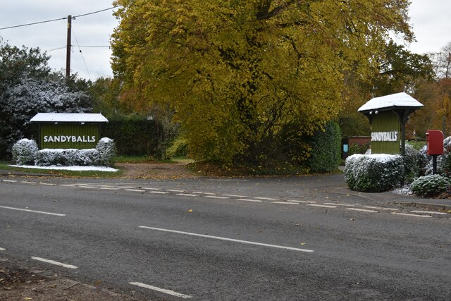
Sandy Balls
Sandy Balls is 120 acres (0.49 km2) of woods and parkland near the New Forest in Hampshire, England. Located between the village of Godshill and the town...

Godshill, Hampshire
Godshill is a village and civil parish and in New Forest National Park in Hampshire, England. It is about 1+1⁄2 miles (2.4 km) east of the town of Fordingbridge...
Frankenbury Camp
Frankenbury Camp is the site of an Iron Age univallate hillfort located in Hampshire. The site is on a very slight promontory overlooking the Avon Valley...
Blissford
Blissford is a hamlet in the civil parish of Hyde situated in the New Forest National Park in Hampshire, England. Its nearest town is Fordingbridge, which...

Frogham, Hampshire
Frogham is a small village in the New Forest National Park of Hampshire, England. It is in the civil parish of Hyde. Its nearest town is Fordingbridge...

Stuckton
Stuckton is a hamlet in the New Forest National Park of Hampshire, England. Its nearest town is Fordingbridge, which lies approximately 1 mile (1.7 km...

Ogdens
Ogdens is a small hamlet south of Hyde Common near Frogham in the New Forest area of Hampshire, England. Ogdens is a hamlet in the civil parish of Hyde...

Hyde, Hampshire
Hyde is a village and civil parish in the New Forest near Fordingbridge in Hampshire, England. == Overview == The parish of Hyde is mostly within the boundary...
Nearby Amenities
Located within 500m of 50.932735,-1.7468502Have you been to Rookham Bottom?
Leave your review of Rookham Bottom below (or comments, questions and feedback).