Hart Hill

Hill, Mountain in Hampshire New Forest

England

Hart Hill

Gorse at Godshill near Fordingbridge. New Forest
Gorse at Godshill near Fordingbridge. New Forest Credit: Clive Perrin

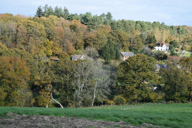
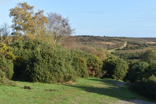
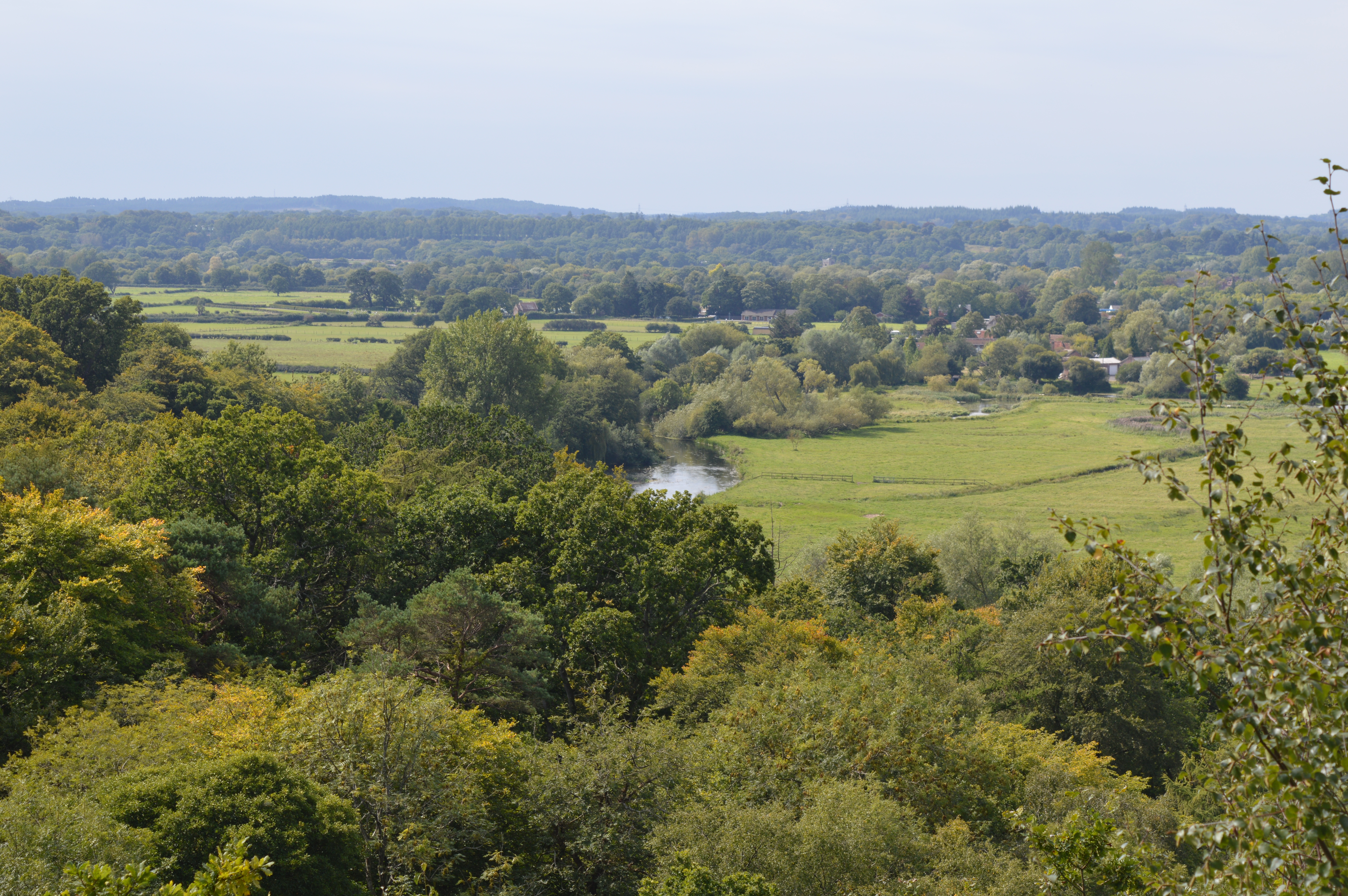
Hart Hill is a prominent hill located in the county of Hampshire, England. It is situated near the village of Hartley Wintney, within the Hart District. Rising to an elevation of approximately 150 meters (492 feet) above sea level, Hart Hill offers breathtaking panoramic views of the surrounding countryside.

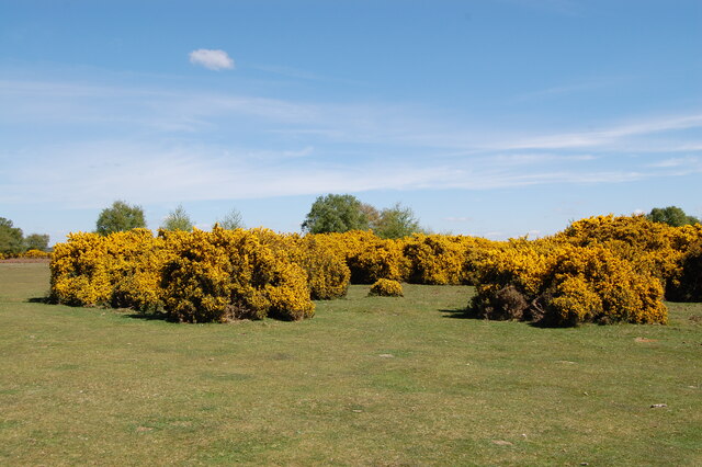
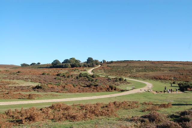
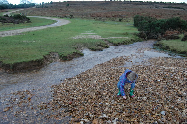
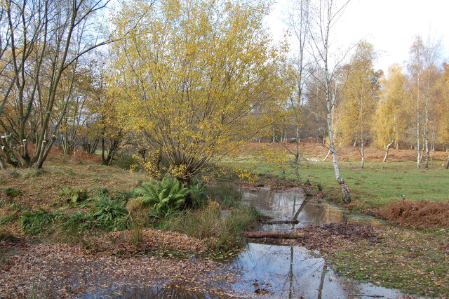
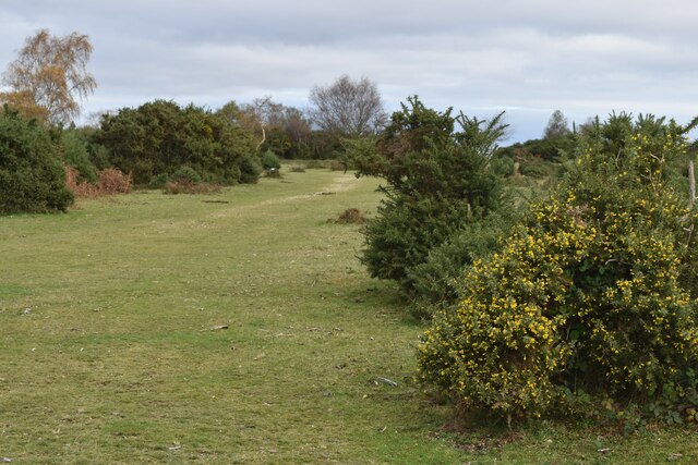
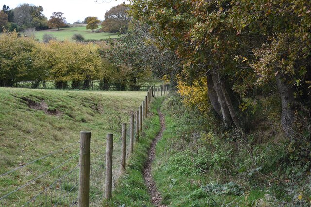
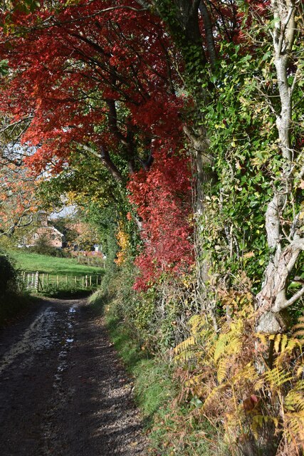
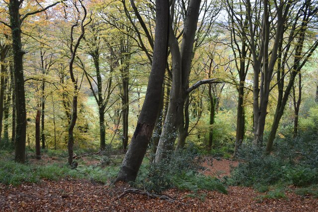
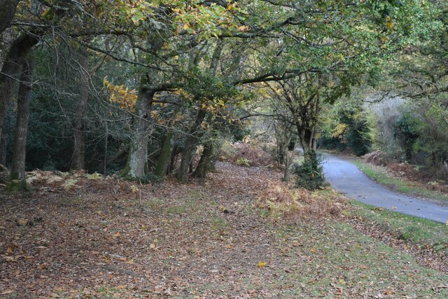
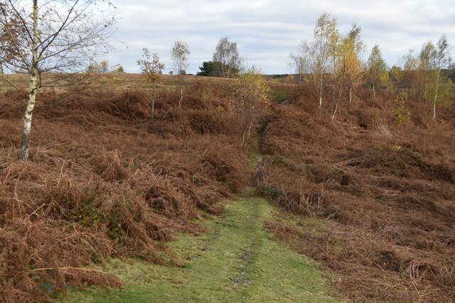
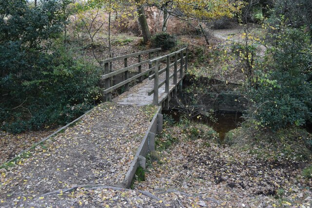
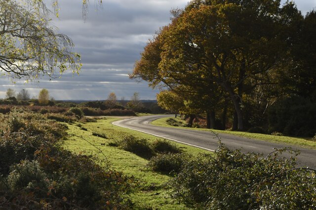
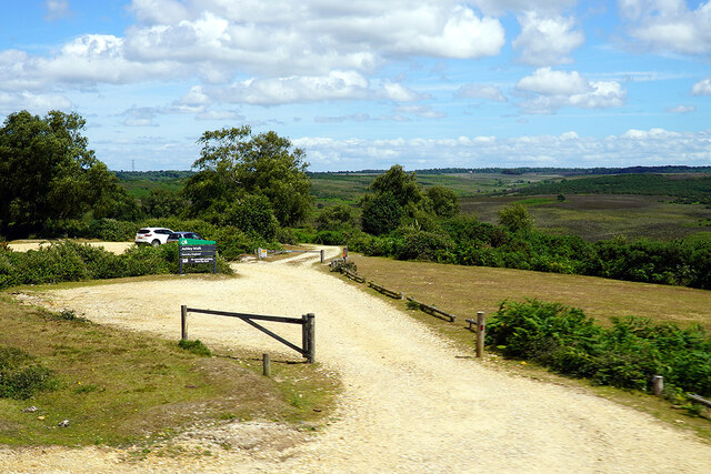
The hill is a popular destination for outdoor enthusiasts, hikers, and nature lovers due to its serene and picturesque setting. It features a diverse range of flora and fauna, including ancient woodlands, meadows, and hedgerows. The hill's natural beauty is enhanced by the presence of several walking trails that wind their way through the area, providing opportunities for visitors to explore and appreciate the landscape.

Historically, Hart Hill has played a significant role in the region. It has been mentioned in various literary works and is known for its connection to the ancient Celtic tribes who once inhabited the area. The hill is also home to several archaeological sites, including the remnants of Iron Age hillforts, which provide insights into its rich and vibrant past.

In addition to its natural and historical significance, Hart Hill has become a popular spot for outdoor recreational activities such as paragliding and kite flying. Its gentle slopes and favorable wind conditions make it an ideal place for these adventurous pursuits.

Overall, Hart Hill in Hampshire offers a unique blend of natural beauty, historical importance, and recreational opportunities, making it a cherished destination for locals and tourists alike.

If you have any feedback on the listing, please let us know in the comments section below.

Hart Hill Images

Images are sourced within 2km of 50.9316/-1.7459599 or Grid Reference SU1714. Thanks to Geograph Open Source API. All images are credited.

Gorse at Godshill near Fordingbridge. New Forest
The snake path near Godshill
Ditchend Brook near The Snake Path
Small stream in Pitts Wood Inclosure,  New Forest The stream has divided here to form a small island.
Small stream in Pitts Wood Inclosure, New Forest
The stream has divided here to form a small island.
Path towards Godshill Cricket Pitch
Path south of Godshill
Artificial snow in November The entrance signs at Sandy Balls Holiday Village have just been decorated with artificial snow - more was being applied within the site.
Artificial snow in November
The entrance signs at Sandy Balls Holiday Village have just been decorated with artificial snow - more was being applied within the site.
Footpath beside Sandy Balls Holiday Village
View towards Godshill Wood
Autumn colours on the track to Folds Farm
Steep woodland below Frankenbury Wooded slope falling from the iron age hillfort at Frankenbury into the valley of the Salisbury Avon.
Steep woodland below Frankenbury
Wooded slope falling from the iron age hillfort at Frankenbury into the valley of the Salisbury Avon.
Autumn leaves on Castle Hill
Path below Godshill Inclosure
Footbridge in Millersford Bottom
Autumn afternoon sunlight near Godshill Cricket Ground
Seat on the green at Godshill Godshill is on the western boundary of the New Forest national park.
Seat on the green at Godshill
Godshill is on the western boundary of the New Forest national park.
Ashley Walk car park on Godshill Ridge Looking over Stone Quarry Bottom.
Ashley Walk car park on Godshill Ridge
Looking over Stone Quarry Bottom.
Path descending to Abbots Well Road With the path climbing the Frogham-Fritham ridge in the distance.
Path descending to Abbots Well Road
With the path climbing the Frogham-Fritham ridge in the distance.
Show me another place!

Hart Hill is located at Grid Ref: SU1714 (Lat: 50.9316, Lng: -1.7459599)

Administrative County: Hampshire

District: New Forest

Police Authority: Hampshire

What 3 Words

///zinc.warriors.hacking. Near Fordingbridge, Hampshire

Related Wikis

Sandy Balls

Sandy Balls is 120 acres (0.49 km2) of woods and parkland near the New Forest in Hampshire, England. Located between the village of Godshill and the town...

Godshill, Hampshire

Godshill is a village and civil parish and in New Forest National Park in Hampshire, England. It is about 1+1⁄2 miles (2.4 km) east of the town of Fordingbridge...

Blissford

Blissford is a hamlet in the civil parish of Hyde situated in the New Forest National Park in Hampshire, England. Its nearest town is Fordingbridge, which...

Frankenbury Camp

Frankenbury Camp is the site of an Iron Age univallate hillfort located in Hampshire. The site is on a very slight promontory overlooking the Avon Valley...

Frogham, Hampshire

Frogham is a small village in the New Forest National Park of Hampshire, England. It is in the civil parish of Hyde. Its nearest town is Fordingbridge...

Stuckton

Stuckton is a hamlet in the New Forest National Park of Hampshire, England. Its nearest town is Fordingbridge, which lies approximately 1 mile (1.7 km...

Ogdens

Ogdens is a small hamlet south of Hyde Common near Frogham in the New Forest area of Hampshire, England. Ogdens is a hamlet in the civil parish of Hyde...

Hyde, Hampshire

Hyde is a village and civil parish in the New Forest near Fordingbridge in Hampshire, England. == Overview == The parish of Hyde is mostly within the boundary...

Nearby Amenities

Located within 500m of 50.9316,-1.7459599
Godshill
Place: village
Population: 436
Wikidata: Q2973935
Wikipedia: en:Godshill, Hampshire
Lat/Long: 50.9339874/-1.7503944
Bus Stop
Fighting Cocks PH
Bench: yes
Bin: yes
Bus: yes
Lit: no
Naptan AtcoCode: 1900HA081076
Naptan Bearing: N
Naptan CommonName: Fighting Cocks PH
Naptan Crossing: Roger Penny Way
Naptan NaptanCode: hamadpdm
Naptan Street: Off B3078 at the Green
Naptan Verified: no
Shelter: yes
Source: naptan_import
Tactile Paving: no
Lat/Long: 50.9336907/-1.7512438
Bus Stop
Fighting Cocks Ph
Bus: yes
Naptan AtcoCode: 1900HA081095
Naptan Bearing: S
Naptan BusStopType: CUS
Naptan CommonName: Fighting Cocks Ph
Naptan Crossing: Roger Penny Way B3078
Naptan NaptanCode: hamadpdp
Naptan Street: Road to Woodgreen
Naptan Verified: no
Source: naptan_import
Lat/Long: 50.9336904/-1.7511299
Pub
The Fighting Cocks
Lat/Long: 50.9338147/-1.750683
Post Box
Operator: Royal Mail
Operator Wikidata: Q638098
Postal Code: SP6
Ref: SP6 426
Lat/Long: 50.9337639/-1.7512223
Barrier: cattle_grid
Bicycle: yes
Motorcar: yes
Lat/Long: 50.9333625/-1.7514169
Check Date: 2024-05-13
Traffic Calming: chicane
Lat/Long: 50.9329501/-1.7524004
Hart Hill
Ele: 85
Natural: peak
Lat/Long: 50.9314934/-1.7479848
Godshill Ridge
Ele: 97
Natural: peak
Lat/Long: 50.9351414/-1.741766
Newgrounds
Place: hamlet
Lat/Long: 50.9292099/-1.7461881
Man Made: water_well
Lat/Long: 50.9307343/-1.7485172
Natural: spring
Lat/Long: 50.9315684/-1.7494827
Fernlea Farm Airbnb
Tourism: guest_house
Lat/Long: 50.9282213/-1.7437068
The data included in this document is from www.openstreetmap.org. The data is made available under ODbL.

Have you been to Hart Hill?

Leave your review of Hart Hill below (or comments, questions and feedback).