Godshill
Settlement in Hampshire New Forest
England
Godshill
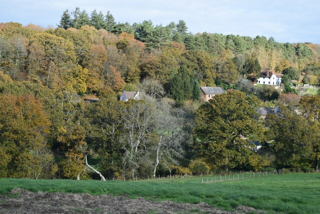
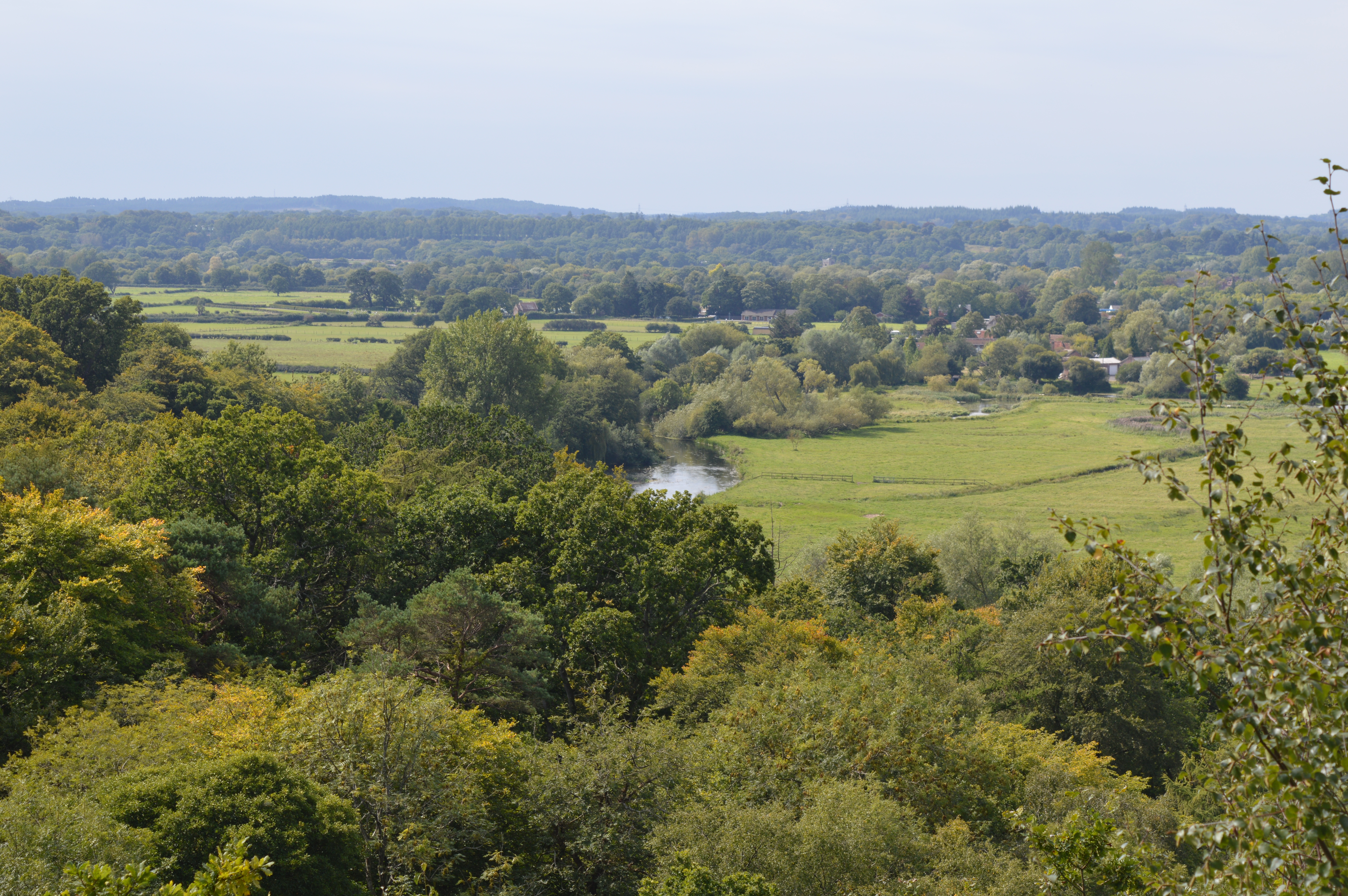
Godshill is a charming village located in the county of Hampshire, England. Situated on the Isle of Wight, it is nestled in the southeastern part of the island, approximately 3 miles south of Newport, the island's main town. The village is renowned for its picturesque beauty and idyllic rural setting.
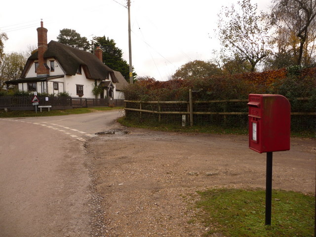
Godshill is characterized by its traditional thatched-roof cottages, which give the village a timeless and quintessentially English feel. The village center is dominated by the impressive All Saints' Church, a medieval structure dating back to the 14th century. Its striking architecture and historical significance make it a notable landmark in the area.
Despite its relatively small size, Godshill offers visitors a range of attractions and amenities. The village is home to various independent shops, tea rooms, and traditional pubs, where visitors can sample local cuisine and soak up the village's relaxed atmosphere. The famous model village, showcasing a miniature replica of Godshill itself, is a popular tourist attraction and a testament to the village's charm.
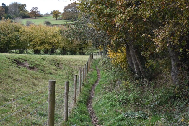
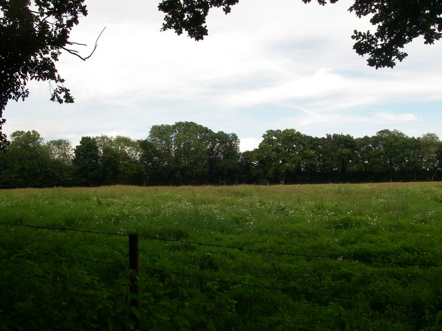
Surrounded by rolling countryside and lush green fields, Godshill provides ample opportunities for outdoor activities such as hiking and cycling. The nearby Appuldurcombe House and Gardens, a grand 18th-century mansion, also offer visitors a chance to explore the region's history and architectural heritage.
With its quaint beauty and rich history, Godshill is a delightful destination for both locals and tourists seeking a tranquil escape in the heart of the Hampshire countryside.
If you have any feedback on the listing, please let us know in the comments section below.
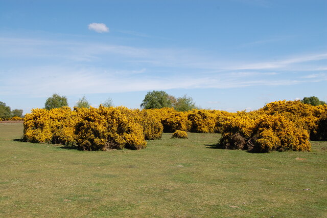
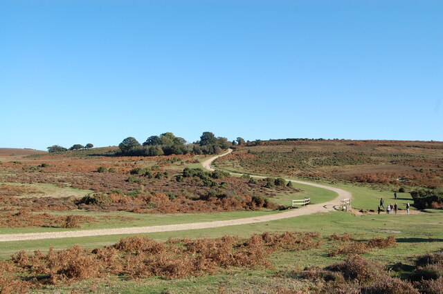
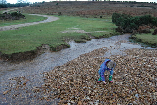
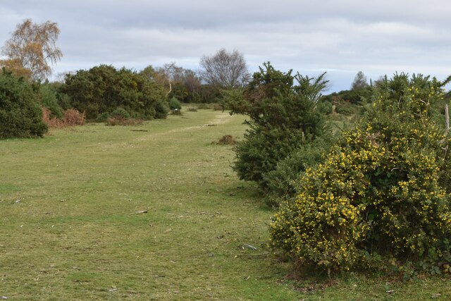
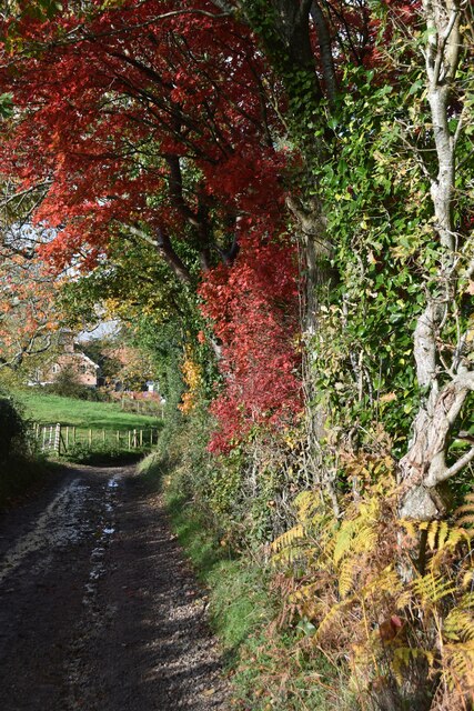
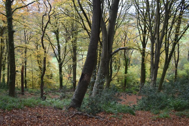
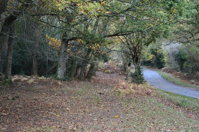
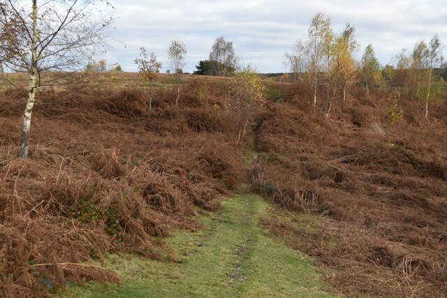
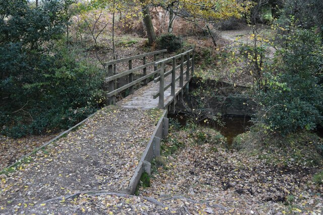
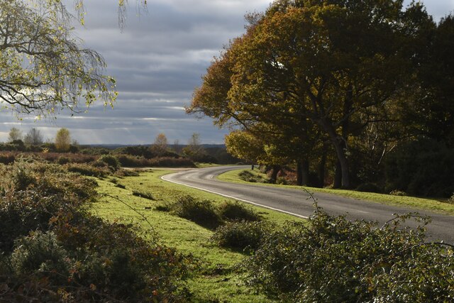
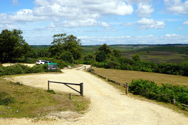
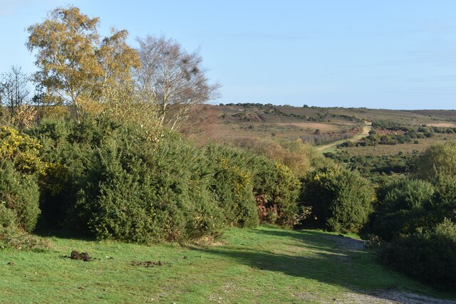
Godshill Images
Images are sourced within 2km of 50.932144/-1.75165 or Grid Reference SU1714. Thanks to Geograph Open Source API. All images are credited.


Godshill is located at Grid Ref: SU1714 (Lat: 50.932144, Lng: -1.75165)
Administrative County: Hampshire
District: New Forest
Police Authority: Hampshire
What 3 Words
///acoustics.flatten.baroness. Near Fordingbridge, Hampshire
Nearby Locations
Related Wikis
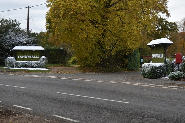
Sandy Balls
Sandy Balls is 120 acres (0.49 km2) of woods and parkland near the New Forest in Hampshire, England. Located between the village of Godshill and the town...

Godshill, Hampshire
Godshill is a village and civil parish and in New Forest National Park in Hampshire, England. It is about 1+1⁄2 miles (2.4 km) east of the town of Fordingbridge...
Frankenbury Camp
Frankenbury Camp is the site of an Iron Age univallate hillfort located in Hampshire. The site is on a very slight promontory overlooking the Avon Valley...
Blissford
Blissford is a hamlet in the civil parish of Hyde situated in the New Forest National Park in Hampshire, England. Its nearest town is Fordingbridge, which...

Frogham, Hampshire
Frogham is a small village in the New Forest National Park of Hampshire, England. It is in the civil parish of Hyde. Its nearest town is Fordingbridge...

Stuckton
Stuckton is a hamlet in the New Forest National Park of Hampshire, England. Its nearest town is Fordingbridge, which lies approximately 1 mile (1.7 km...

Ogdens
Ogdens is a small hamlet south of Hyde Common near Frogham in the New Forest area of Hampshire, England. Ogdens is a hamlet in the civil parish of Hyde...

Burgate, Hampshire
Burgate (divided into Upper Burgate and Lower Burgate) is a hamlet situated on the western edge of the New Forest National Park in Hampshire, England....
Nearby Amenities
Located within 500m of 50.932144,-1.75165Have you been to Godshill?
Leave your review of Godshill below (or comments, questions and feedback).