Newgrounds
Settlement in Hampshire New Forest
England
Newgrounds
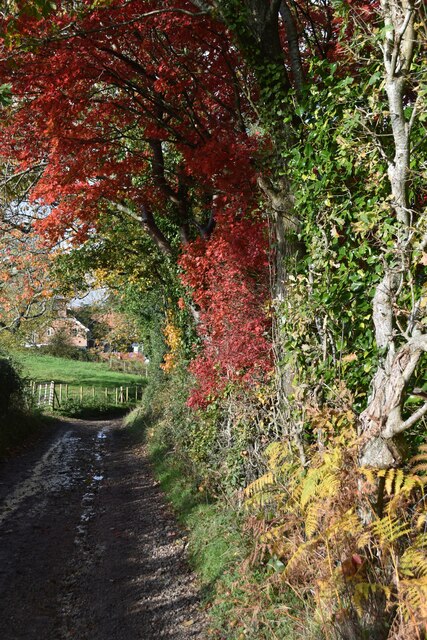
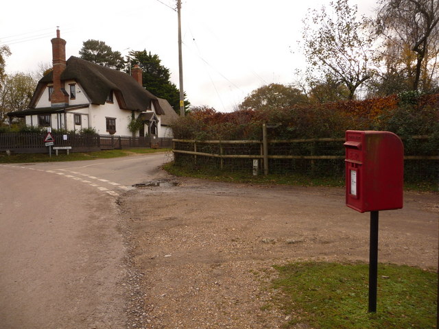
Newgrounds is a small village located in the county of Hampshire, England. Situated in the South East of the country, it falls within the civil parish of Bramshott and Liphook. The village is known for its picturesque setting and tranquil atmosphere, making it a popular destination for those seeking a peaceful retreat.
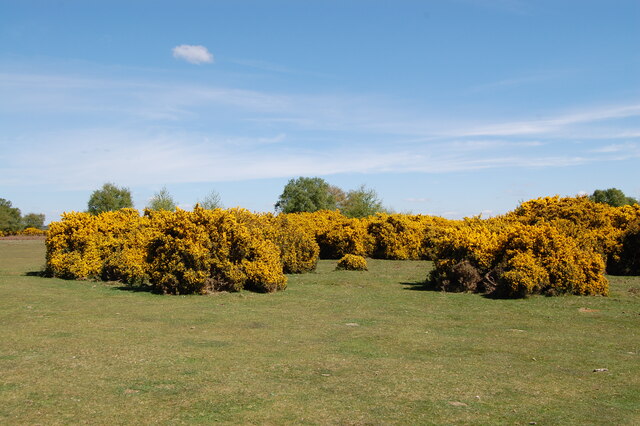
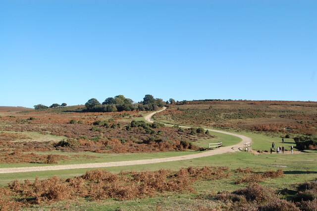
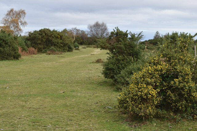
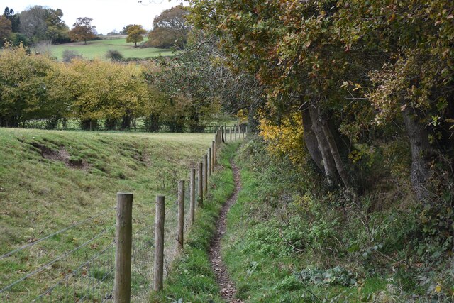
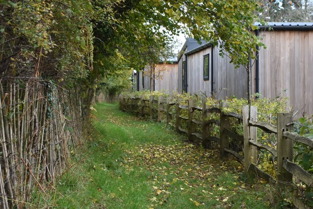
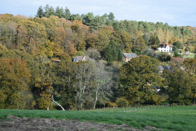
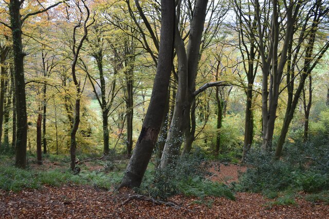
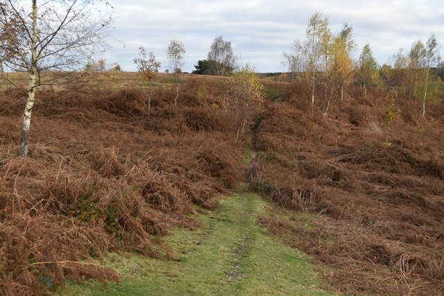
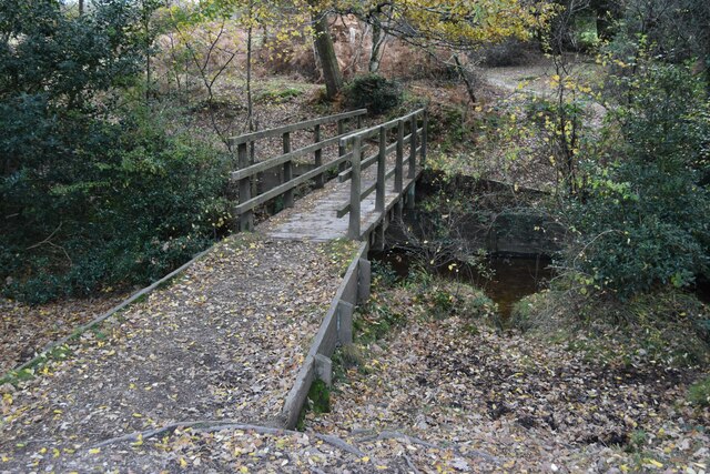
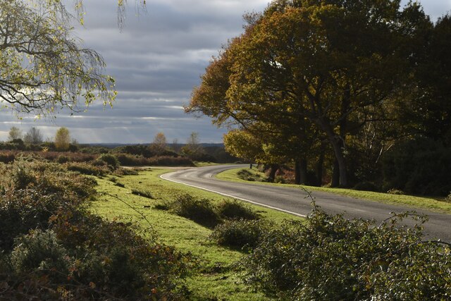
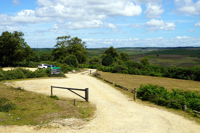
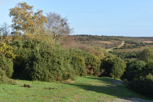
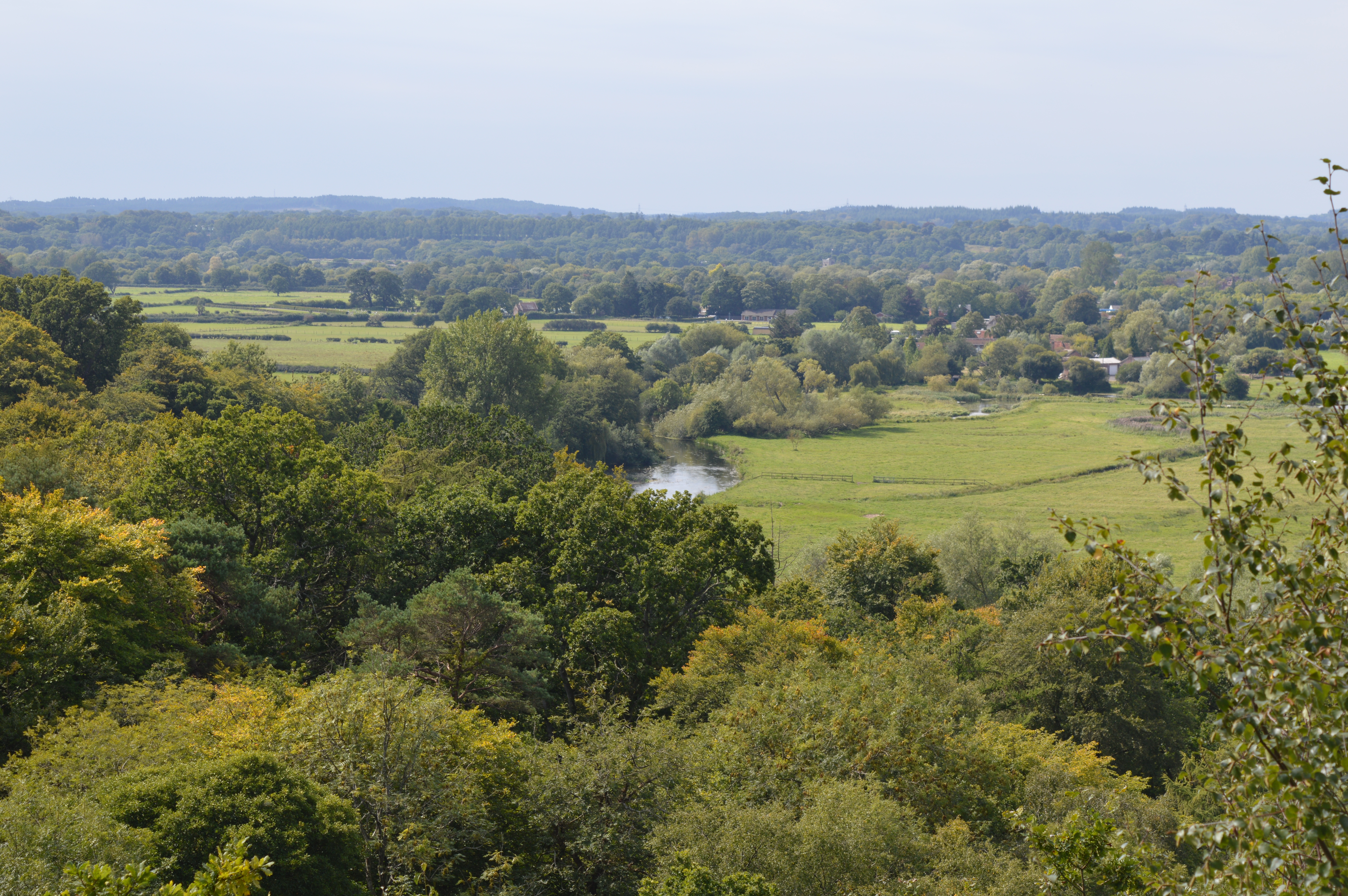
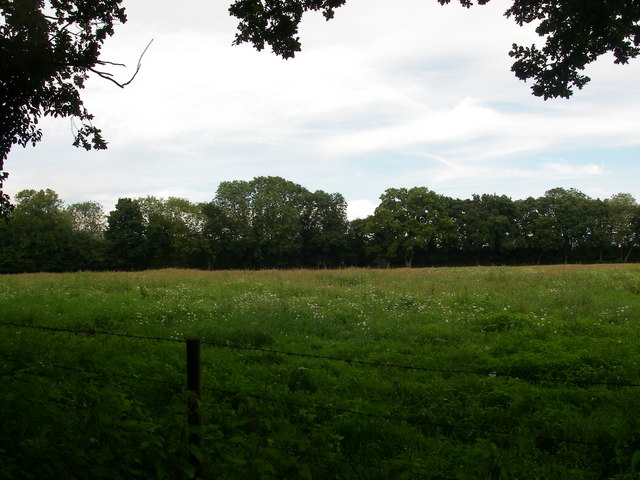
Newgrounds is surrounded by beautiful countryside, with rolling hills and lush green landscapes. The village itself is characterized by charming cottages and traditional architecture, giving it a quaint and idyllic feel. The local community is close-knit and friendly, fostering a sense of belonging and community spirit.
Despite its small size, Newgrounds boasts a number of amenities to cater to its residents and visitors. These include a local pub, a village hall, and a primary school. The village is also well-connected to nearby towns and cities, with good transport links making it easily accessible.
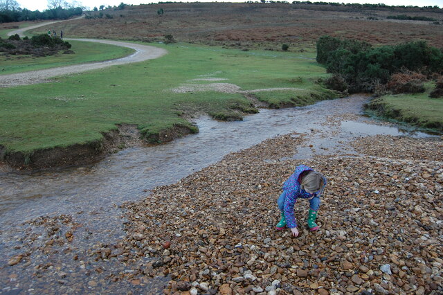
For outdoor enthusiasts, Newgrounds offers an abundance of recreational activities. The surrounding countryside provides ample opportunities for hiking, cycling, and horseback riding. Additionally, nearby attractions such as Queen Elizabeth Country Park and the South Downs National Park offer further options for outdoor adventures.
Overall, Newgrounds is a charming village that offers a peaceful and scenic environment for its residents and visitors. Its idyllic setting, close community, and range of amenities contribute to its appeal as a desirable place to live or visit in Hampshire.
If you have any feedback on the listing, please let us know in the comments section below.
Newgrounds Images
Images are sourced within 2km of 50.92953/-1.749102 or Grid Reference SU1714. Thanks to Geograph Open Source API. All images are credited.


Newgrounds is located at Grid Ref: SU1714 (Lat: 50.92953, Lng: -1.749102)
Administrative County: Hampshire
District: New Forest
Police Authority: Hampshire
What 3 Words
///character.removing.musically. Near Fordingbridge, Hampshire
Nearby Locations
Related Wikis
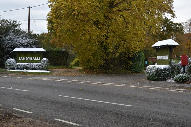
Sandy Balls
Sandy Balls is 120 acres (0.49 km2) of woods and parkland near the New Forest in Hampshire, England. Located between the village of Godshill and the town...

Godshill, Hampshire
Godshill is a village and civil parish and in New Forest National Park in Hampshire, England. It is about 1+1⁄2 miles (2.4 km) east of the town of Fordingbridge...
Blissford
Blissford is a hamlet in the civil parish of Hyde situated in the New Forest National Park in Hampshire, England. Its nearest town is Fordingbridge, which...
Frankenbury Camp
Frankenbury Camp is the site of an Iron Age univallate hillfort located in Hampshire. The site is on a very slight promontory overlooking the Avon Valley...

Frogham, Hampshire
Frogham is a small village in the New Forest National Park of Hampshire, England. It is in the civil parish of Hyde. Its nearest town is Fordingbridge...

Stuckton
Stuckton is a hamlet in the New Forest National Park of Hampshire, England. Its nearest town is Fordingbridge, which lies approximately 1 mile (1.7 km...

Ogdens
Ogdens is a small hamlet south of Hyde Common near Frogham in the New Forest area of Hampshire, England. Ogdens is a hamlet in the civil parish of Hyde...

Hyde, Hampshire
Hyde is a village and civil parish in the New Forest near Fordingbridge in Hampshire, England. == Overview == The parish of Hyde is mostly within the boundary...
Nearby Amenities
Located within 500m of 50.92953,-1.749102Have you been to Newgrounds?
Leave your review of Newgrounds below (or comments, questions and feedback).