Upper Derwent Valley
Valley in Derbyshire High Peak
England
Upper Derwent Valley
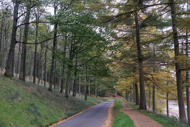
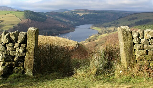
The Upper Derwent Valley is a picturesque valley located in Derbyshire, England. It stretches over 20 miles and is renowned for its stunning natural beauty and rich cultural heritage. The valley is situated within the Peak District National Park, one of the most popular national parks in the United Kingdom.
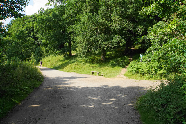
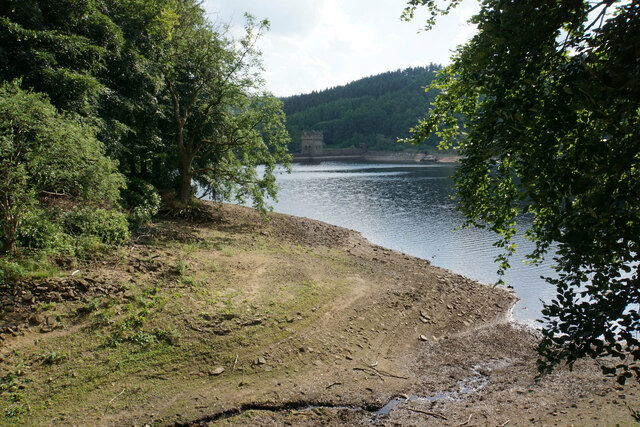
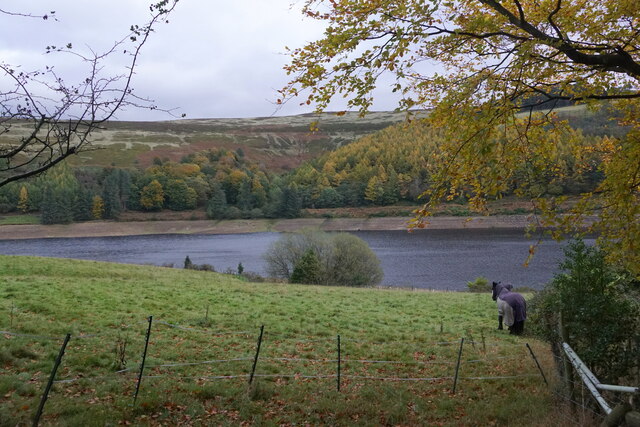
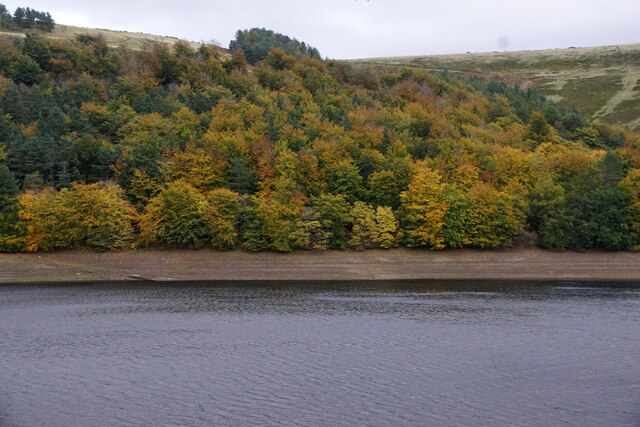
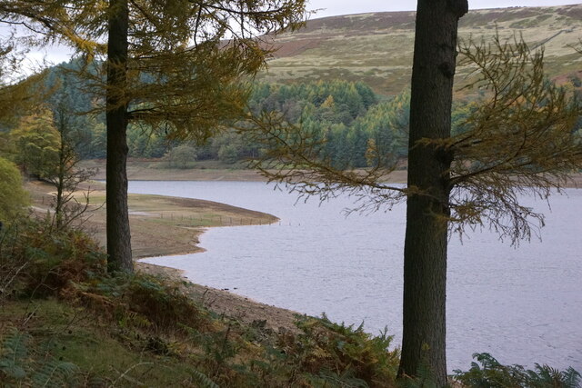
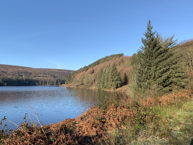
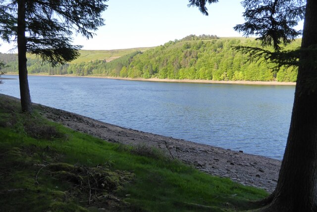
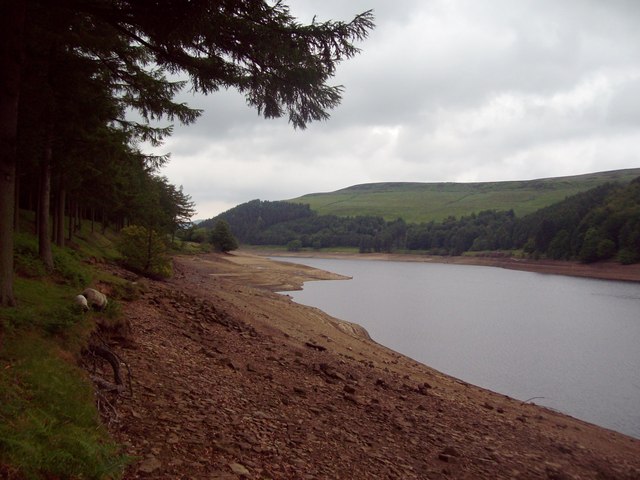
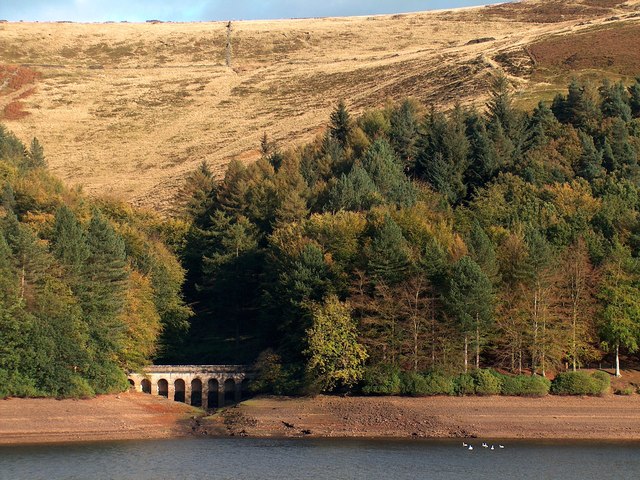
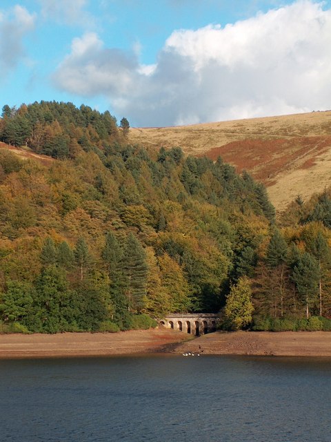
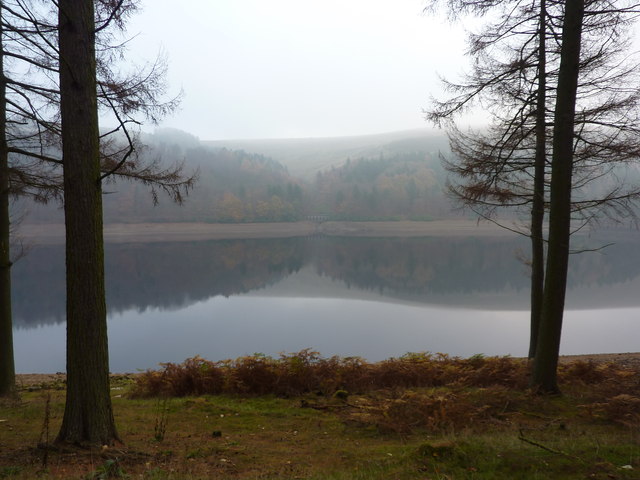
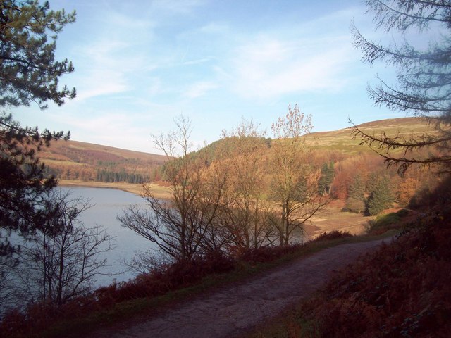
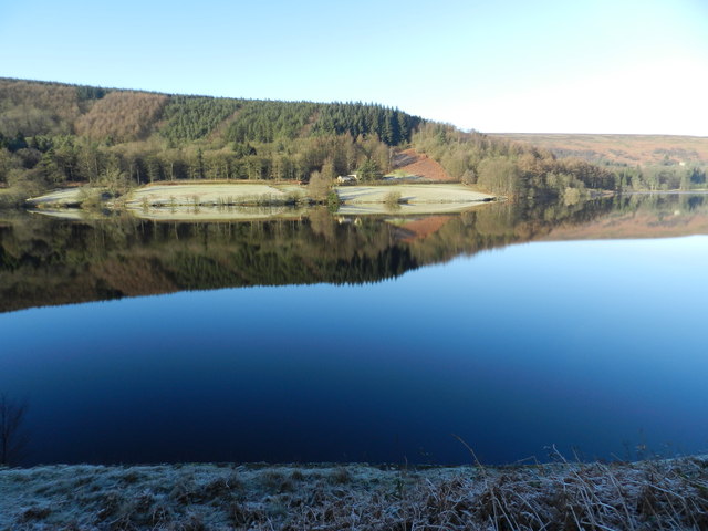
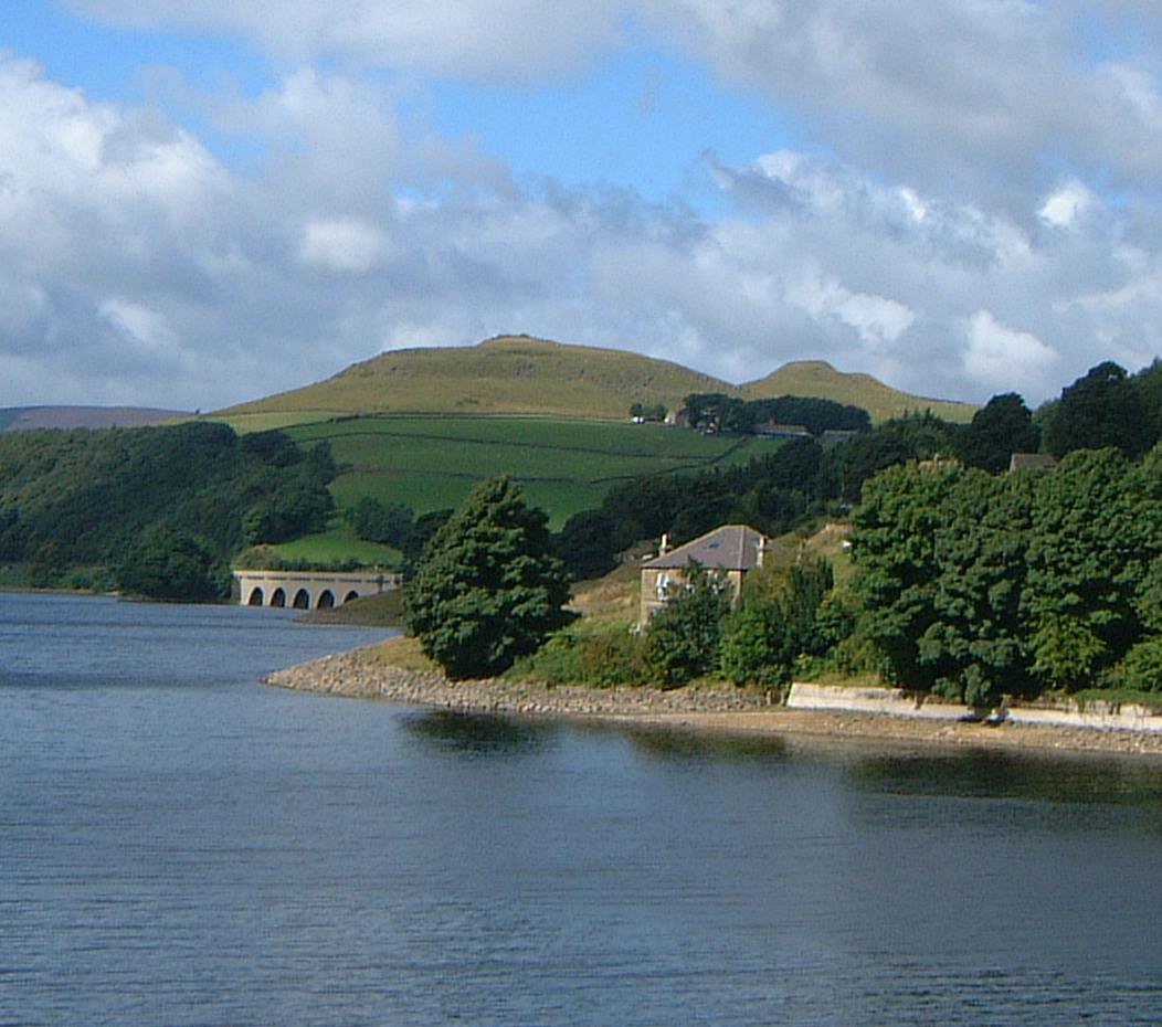
The landscape of the Upper Derwent Valley is characterized by rolling hills, dense woodlands, and the glistening waters of the Derwent Reservoir and Ladybower Reservoir. These reservoirs were constructed in the early 20th century to supply water to the cities of Sheffield and Derby, and they have since become popular tourist attractions. Visitors can enjoy a range of recreational activities such as walking, cycling, fishing, and sailing on the reservoirs.
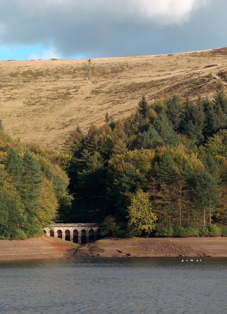
The valley is also home to a variety of wildlife, including rare bird species such as peregrine falcons and red kites. It offers numerous walking trails and hiking routes, including the Derwent Valley Heritage Way, which leads visitors through the valley's historic sites and landmarks. One of the most iconic features of the valley is the Derwent Dam, famous for its role during World War II as a training site for the Dambusters' practice runs.
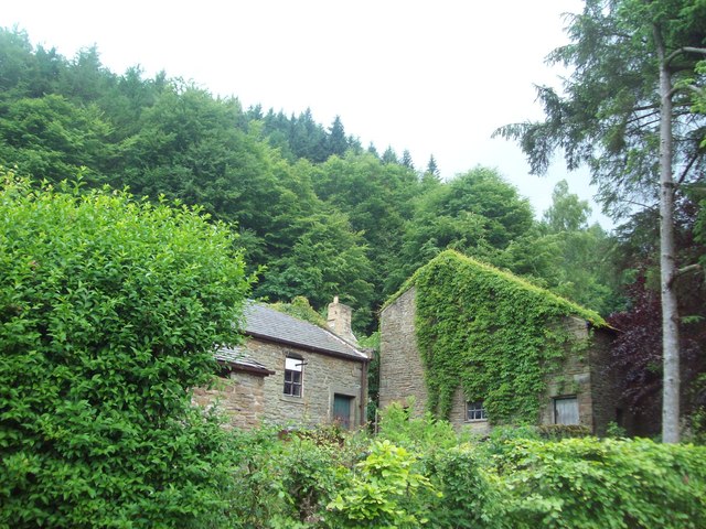
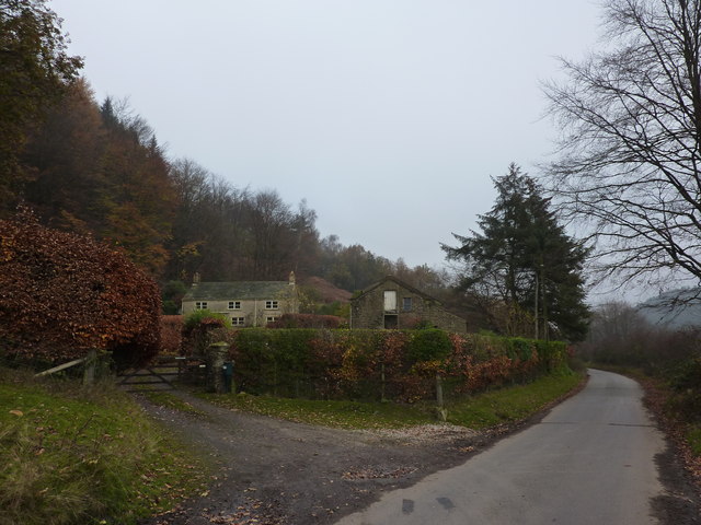
The Upper Derwent Valley is also steeped in history, with several charming villages and hamlets scattered throughout the area. These settlements, such as Bamford and Fairholmes, offer quaint pubs, cafes, and shops, providing visitors with a taste of traditional village life.
Overall, the Upper Derwent Valley combines natural beauty, outdoor activities, and historical significance, making it a popular destination for nature lovers, history enthusiasts, and those seeking a peaceful escape in the heart of Derbyshire.
If you have any feedback on the listing, please let us know in the comments section below.
Upper Derwent Valley Images
Images are sourced within 2km of 53.397486/-1.7330809 or Grid Reference SK1788. Thanks to Geograph Open Source API. All images are credited.
Upper Derwent Valley is located at Grid Ref: SK1788 (Lat: 53.397486, Lng: -1.7330809)
Administrative County: Derbyshire
District: High Peak
Police Authority: Derbyshire
What 3 Words
///slips.decorator.vaccines. Near Hope Valley, Derbyshire
Nearby Locations
Related Wikis

Derwent Woodlands War Memorial
Derwent Woodlands War Memorial is a 20th-century grade II listed war memorial near the Ladybower Reservoir, Derbyshire. == History == The war memorial...

Derwent Edge
Derwent Edge is a Millstone Grit escarpment that lies above the Upper Derwent Valley in the Peak District National Park in the English county of Derbyshire...

Derwent Reservoir (Derbyshire)
Derwent Reservoir is the middle of three reservoirs in the Upper Derwent Valley in the north of Derbyshire, England. It lies approximately 10 mi (16 km...

Ladybower Reservoir
Ladybower Reservoir is a large Y-shaped, artificial reservoir, the lowest of three in the Upper Derwent Valley in Derbyshire, England. The River Ashop...

Derwent, Derbyshire
Derwent was a village 'drowned' in 1944 when the Ladybower Reservoir in Derbyshire, England was created. The village of Ashopton, Derwent Woodlands church...
Crook Hill
Crook Hill is a small hill in the Peak District National Park in the English county of Derbyshire, 5 kilometres (3.1 mi) northeast of Castleton. ��2�...

Lost Lad
Lost Lad is a hill, 518 metres (1,699 ft) high on the Derwent Edge in the Peak District in the county of Derbyshire in England. It is a subpeak of Back...

River Ashop
The River Ashop is a river in the Derbyshire Peak District, England. Its source is on the eastern slopes of Mill Hill, three miles south east of Glossop...
Nearby Amenities
Located within 500m of 53.397486,-1.7330809Have you been to Upper Derwent Valley?
Leave your review of Upper Derwent Valley below (or comments, questions and feedback).