Ridges Coppice

Wood, Forest in Derbyshire High Peak

England

Ridges Coppice

Hancock Plantation and Derwent Reservoir
Hancock Plantation and Derwent Reservoir Credit: Mike Pennington

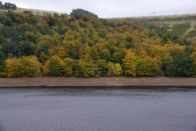
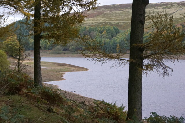
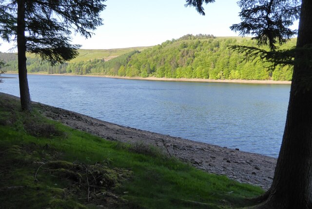
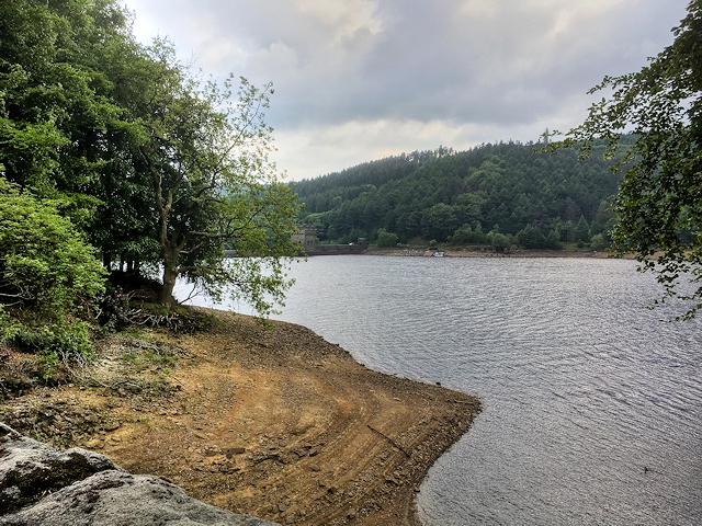
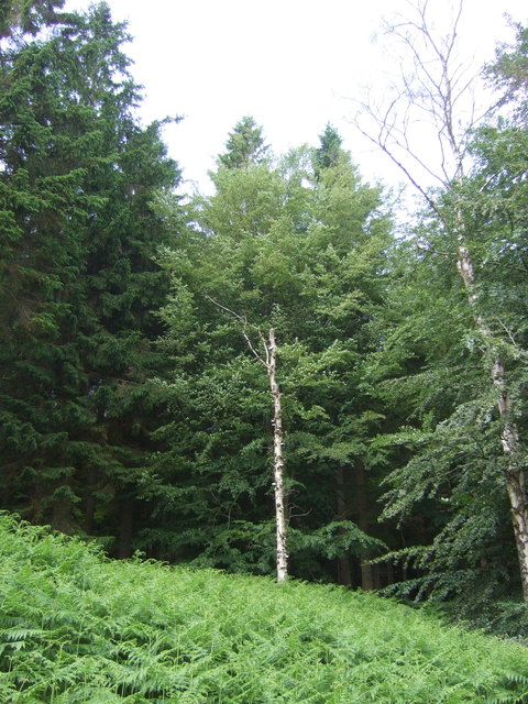
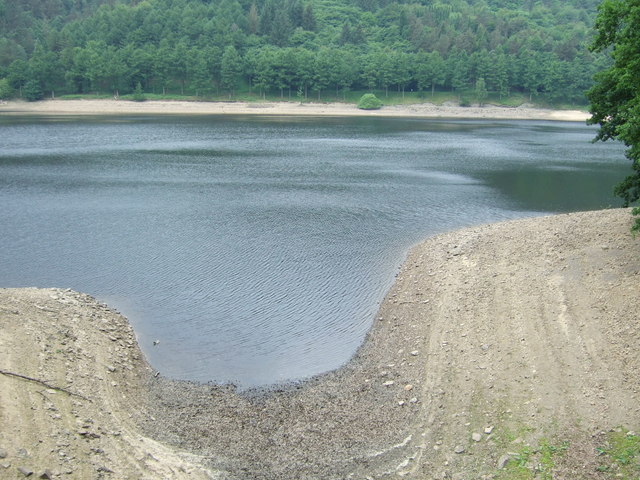
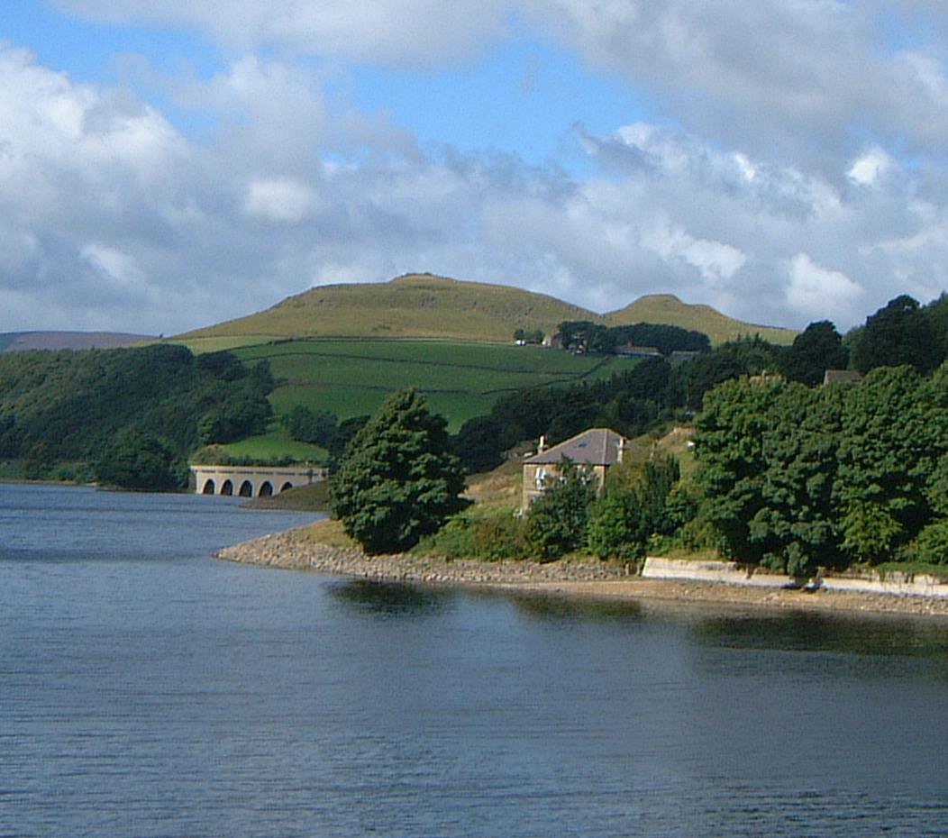
Ridges Coppice is a picturesque woodland located in Derbyshire, England. Situated on the outskirts of the village of Hartington, it covers an area of approximately 50 acres. The coppice is known for its diverse range of tree species, including oak, ash, birch, and beech, creating a rich and vibrant forest ecosystem.

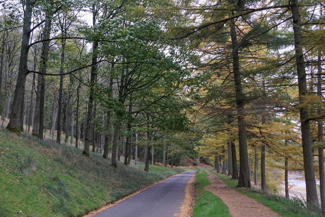
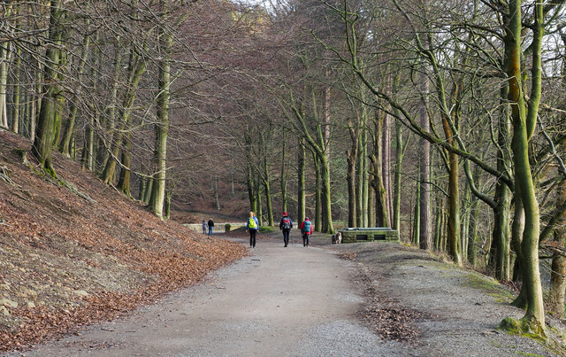
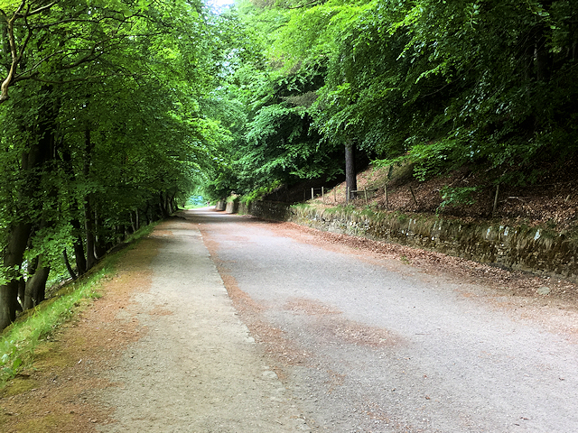
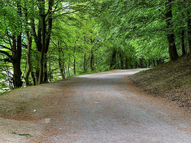
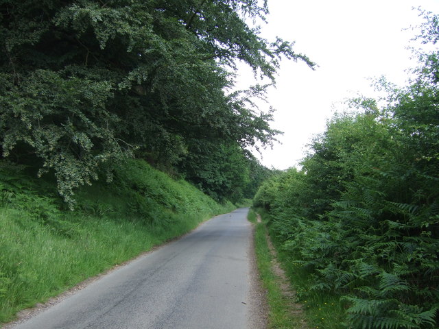
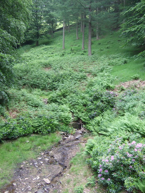
The woodland is characterized by its gently rolling terrain, with a network of footpaths and trails meandering through the trees, offering visitors the opportunity to explore its natural beauty. The paths are well maintained, making it accessible to both casual strollers and more adventurous hikers.

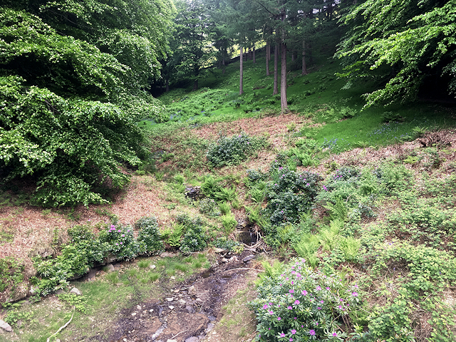
Ridges Coppice is home to a variety of wildlife, providing a haven for many species. Birdwatchers will delight in the chance to spot woodland birds such as woodpeckers, tits, and warblers. Mammals such as foxes, badgers, and rabbits can also be seen among the trees, while butterflies and insects flit through the undergrowth.

The woodland has a rich history, with evidence of ancient settlements and archaeological sites scattered throughout the area. It has been used for centuries for traditional woodland management techniques, including coppicing, which involves periodically cutting trees to encourage new growth.

For nature enthusiasts, Ridges Coppice offers a tranquil and immersive experience, with its serene atmosphere and beautiful surroundings. Whether it's a leisurely walk, birdwatching, or simply enjoying the peacefulness of nature, Ridges Coppice provides a welcome escape from the hustle and bustle of everyday life.

If you have any feedback on the listing, please let us know in the comments section below.

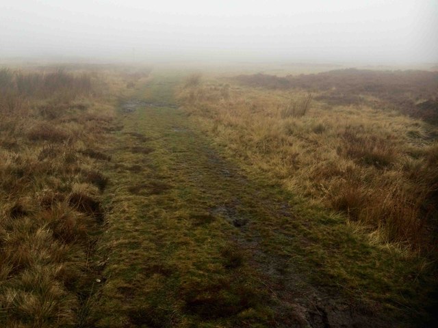
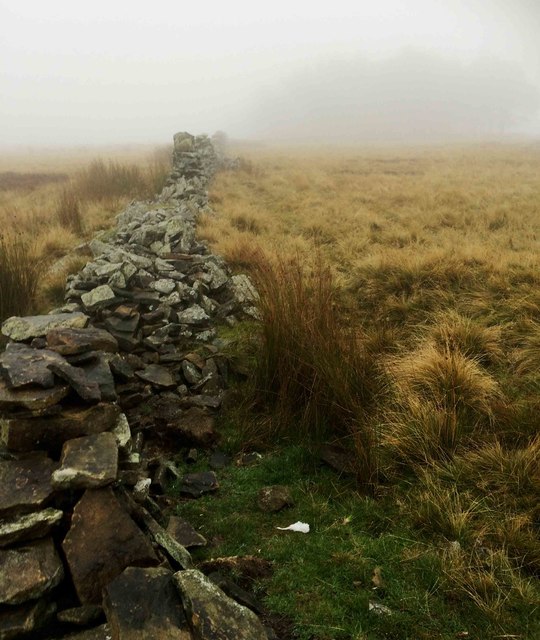
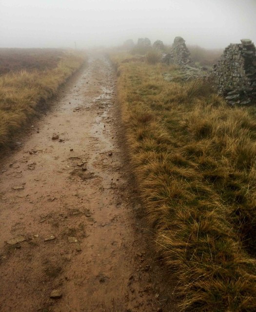
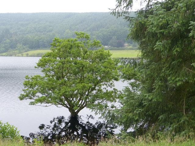
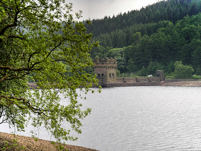
Ridges Coppice Images

Images are sourced within 2km of 53.393595/-1.7377519 or Grid Reference SK1788. Thanks to Geograph Open Source API. All images are credited.

Hancock Plantation and Derwent Reservoir
Road beside Derwent Reservoir
Derwent Reservoir
Derwent Reservoir
Derwent Reservoir Derwent Reservoir pictured just above the dam.
Derwent Reservoir
Derwent Reservoir pictured just above the dam.
I think it's this way
Dry stone walling
Dry stone walling
A proper track in the mist
Looking across the reservoir The very full Derwent reservoir makes for a pretty view across its narrow dimension.
Looking across the reservoir
The very full Derwent reservoir makes for a pretty view across its narrow dimension.
Earthen road on east side of Derwent Reservoir The broad road is used probably much more regularly as a footpath and bridleway than for motorised traffic - it's not of course, a public road.
Earthen road on east side of Derwent Reservoir
The broad road is used probably much more regularly as a footpath and bridleway than for motorised traffic - it's not of course, a public road.
Derwent Reservoir Shore Derwent Reservoir is the middle of three reservoirs in the Upper Derwent Valley in the northeast of Derbyshire. It lies just north of the A57 Snake Road between Glossop and Sheffield; approximately 10 miles from each. 

The neo-Gothic solid masonry dam was built between 1902 and 1914 when the reservoir was first filled. The dam was officially opened by King George V in 1916.
Derwent Reservoir Shore
Derwent Reservoir is the middle of three reservoirs in the Upper Derwent Valley in the northeast of Derbyshire. It lies just north of the A57 Snake Road between Glossop and Sheffield; approximately 10 miles from each. The neo-Gothic solid masonry dam was built between 1902 and 1914 when the reservoir was first filled. The dam was officially opened by King George V in 1916.
Stream feeding into Derwent Reservoir at Hancock Wood A small stream running off the hillside and feeding into Derwent Reservoir at Hancock Wood.
Stream feeding into Derwent Reservoir at Hancock Wood
A small stream running off the hillside and feeding into Derwent Reservoir at Hancock Wood.
Bridlepath along Derwent Reservoir at Hancock Wood The bridlepath along the eastern side of the Derwent Reservoir.
Bridlepath along Derwent Reservoir at Hancock Wood
The bridlepath along the eastern side of the Derwent Reservoir.
Bridlepath on the Eastern Side of Derwent Reservoir
View over Derwent Reservoir View from the bridlepath at Hancock Wood, on the eastern side of the reservoir, towards the western tower of the dam.


Derwent Reservoir is the middle of three reservoirs in the Upper Derwent Valley in the northeast of Derbyshire. It lies just north of the A57 Snake Road between Glossop and Sheffield; approximately 10 miles from each. 

The neo-Gothic solid masonry dam was built between 1902 and 1914 when filling of the reservoir began. The dam was officially opened by King George V in 1916.
View over Derwent Reservoir
View from the bridlepath at Hancock Wood, on the eastern side of the reservoir, towards the western tower of the dam. Derwent Reservoir is the middle of three reservoirs in the Upper Derwent Valley in the northeast of Derbyshire. It lies just north of the A57 Snake Road between Glossop and Sheffield; approximately 10 miles from each. The neo-Gothic solid masonry dam was built between 1902 and 1914 when filling of the reservoir began. The dam was officially opened by King George V in 1916.
Gores Plantation Woodland above the Derwent Reservoir.
Gores Plantation
Woodland above the Derwent Reservoir.
Minor road above the Derwent Reservoir Looking north beside Gores Plantation.
Minor road above the Derwent Reservoir
Looking north beside Gores Plantation.
Shorline, Derwent Reservoir Where the Hollin Clough flows in.
Shorline, Derwent Reservoir
Where the Hollin Clough flows in.
The Hollin Clough Flows into the Derwent Reservoir.
The Hollin Clough
Flows into the Derwent Reservoir.
Show me another place!

Ridges Coppice is located at Grid Ref: SK1788 (Lat: 53.393595, Lng: -1.7377519)

Administrative County: Derbyshire

District: High Peak

Police Authority: Derbyshire

What 3 Words

///reinvest.fallback.flipping. Near Hope Valley, Derbyshire

Related Wikis

Derwent Woodlands War Memorial

Derwent Woodlands War Memorial is a 20th-century grade II listed war memorial near the Ladybower Reservoir, Derbyshire. == History == The war memorial...

Ladybower Reservoir

Ladybower Reservoir is a large Y-shaped, artificial reservoir, the lowest of three in the Upper Derwent Valley in Derbyshire, England. The River Ashop...

Crook Hill

Crook Hill is a small hill in the Peak District National Park in the English county of Derbyshire, 5 kilometres (3.1 mi) northeast of Castleton. ��2�...

Derwent, Derbyshire

Derwent was a village 'drowned' in 1944 when the Ladybower Reservoir in Derbyshire, England was created. The village of Ashopton, Derwent Woodlands church...

Nearby Amenities

Located within 500m of 53.393595,-1.7377519
Bench
Source: GPS
Lat/Long: 53.3934404/-1.7313686
Bench
Source: GPS
Lat/Long: 53.396446/-1.7387547
Hagg Side
Place: locality
Source: Bing
Lat/Long: 53.3951746/-1.7436725
Barrier: stile
Material: wood
Source: survey;gps
Stile: stepover
Lat/Long: 53.3932217/-1.7447153
Information: guidepost
Operator: Peak & Northern Footpaths Society
Ref: 57
Source: survey;gps
Tourism: information
Lat/Long: 53.3932312/-1.7445866
The data included in this document is from www.openstreetmap.org. The data is made available under ODbL.

Have you been to Ridges Coppice?

Leave your review of Ridges Coppice below (or comments, questions and feedback).