Mill Pond Plantation

Wood, Forest in Derbyshire Derbyshire Dales

England

Mill Pond Plantation

Tissington, gatepost The entrance to the footpath is on the north side of Chapel Lane and there is a benchmark cut into the gatepost.
Tissington, gatepost Credit: Mel Towler

Mill Pond Plantation is a serene and picturesque woodland area located in Derbyshire, England. Covering an expansive area, it serves as a haven for nature enthusiasts and those seeking solace in the beauty of the natural world.

The plantation is known for its dense forest, which is home to a variety of flora and fauna. Towering oak, beech, and ash trees dominate the landscape, creating a lush canopy that provides shade and shelter for the diverse range of wildlife that calls this place home. The forest floor is carpeted with a rich tapestry of wildflowers, ferns, and mosses, adding to the enchanting atmosphere.

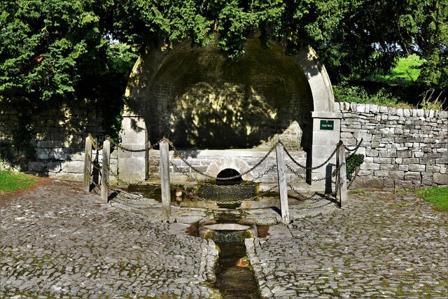
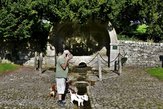
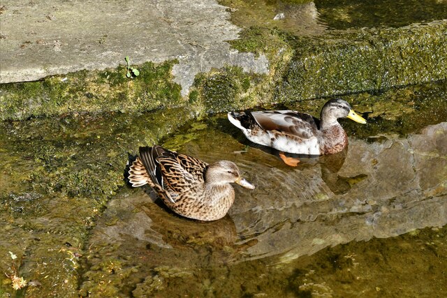
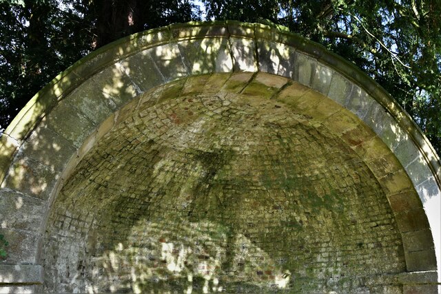
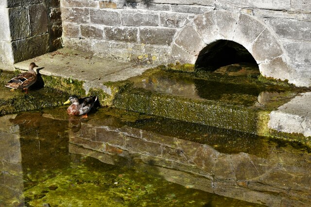
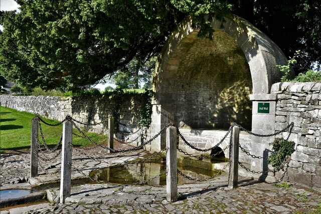
One of the highlights of Mill Pond Plantation is its namesake, a serene and tranquil pond. The pond is fed by a small stream and is a popular spot for birdwatchers, as it attracts a wide array of waterfowl and other bird species. Visitors can often spot ducks, herons, and kingfishers, among many other species, making it a haven for bird enthusiasts.

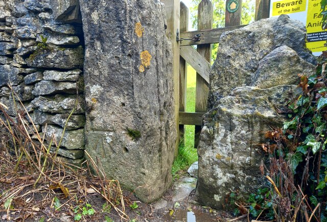
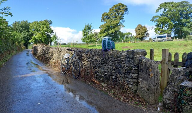
The plantation offers several walking trails that wind their way through the woodland, allowing visitors to explore and immerse themselves in the natural beauty of the area. These trails vary in difficulty and length, catering to all levels of fitness and mobility.

Mill Pond Plantation is a true sanctuary for nature lovers, providing a respite from the hustle and bustle of daily life. Whether it's a leisurely stroll through the woods, birdwatching by the pond, or simply taking in the sights and sounds of nature, this woodland retreat offers an unforgettable experience for all who visit.

If you have any feedback on the listing, please let us know in the comments section below.

Mill Pond Plantation Images

Images are sourced within 2km of 53.062532/-1.7398842 or Grid Reference SK1751. Thanks to Geograph Open Source API. All images are credited.

Tissington, gatepost The entrance to the footpath is on the north side of Chapel Lane and there is a benchmark cut into the gatepost.
Tissington, gatepost
The entrance to the footpath is on the north side of Chapel Lane and there is a benchmark cut into the gatepost.
Tissington, gatepost A wider angle showing the entrance to the footpath which is on the north side of Chapel Lane. There is a benchmark cut into the gatepost.
Tissington, gatepost
A wider angle showing the entrance to the footpath which is on the north side of Chapel Lane. There is a benchmark cut into the gatepost.
Tissington, Hall Well: One of six Derbyshire wells 'dressed' for Ascension week
Tissington, Hall Well: One of six Derbyshire wells 'dressed' for Ascension week (detail) Two ducks seem to regard the well as home.
Tissington, Hall Well: One of six Derbyshire wells 'dressed' for Ascension week (detail)
Two ducks seem to regard the well as home.
Tissington, Hall Well: One of six Derbyshire wells 'dressed' for Ascension week (detail) The domed covering.
Tissington, Hall Well: One of six Derbyshire wells 'dressed' for Ascension week (detail)
The domed covering.
Tissington, Hall Well: One of six Derbyshire wells 'dressed' for Ascension week (detail)
Tissington, Hall Well: One of six Derbyshire wells 'dressed' for Ascension week
Tissington: Inspecting the stream created by Hall Well
Tissington: Herbert's Tearoom
Tissington, St. Mary's Church
Tissington, St. Mary's Church: Western aspect
Tissington: Herbert's Tearoom from St. Mary's churchyard
Tissington, St. Mary's Church: Norman tympanum above the south door
Tissington, St. Mary's Church: Norman tympanum above the south door (detail) 1
Tissington, St. Mary's Church: Norman tympanum above the south door (detail) 2
Tissington, St. Mary's Church: Norman tub font with incised animals
Tissington, St. Mary's Church: Norman tub font with incised animals (detail)
Show me another place!

Mill Pond Plantation is located at Grid Ref: SK1751 (Lat: 53.062532, Lng: -1.7398842)

Administrative County: Derbyshire

District: Derbyshire Dales

Police Authority: Derbyshire

What 3 Words

///supposing.chase.framework. Near Ashbourne, Derbyshire

Related Wikis

Tissington railway station

Tissington railway station is a disused British railway station near Tissington (grid reference SK177521), a village in Derbyshire near Ashbourne. It...

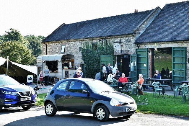
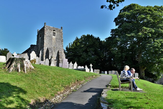
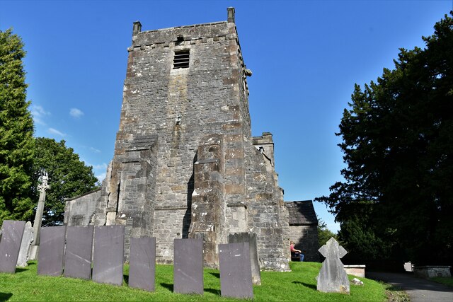
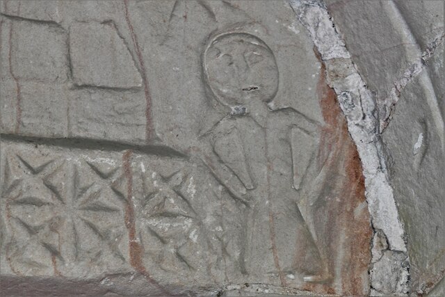
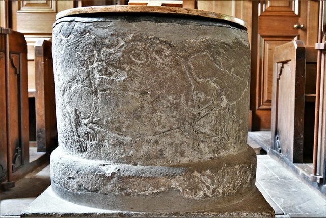
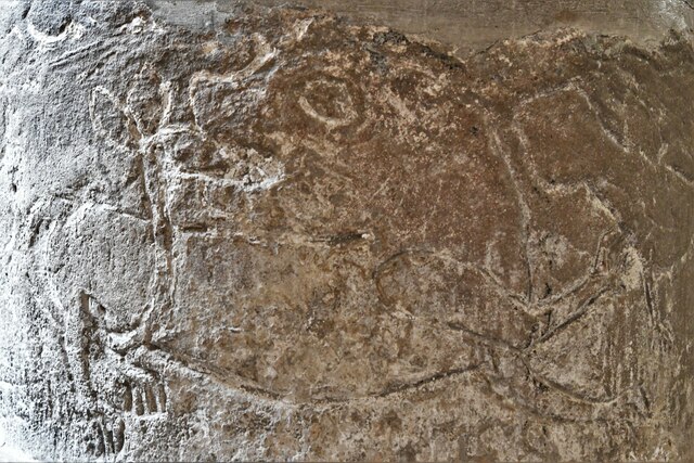
St Mary's Church, Tissington

St Mary’s Church, Tissington is a Grade II* listed parish church in the Church of England in Tissington, Derbyshire. == History == The church dates from...
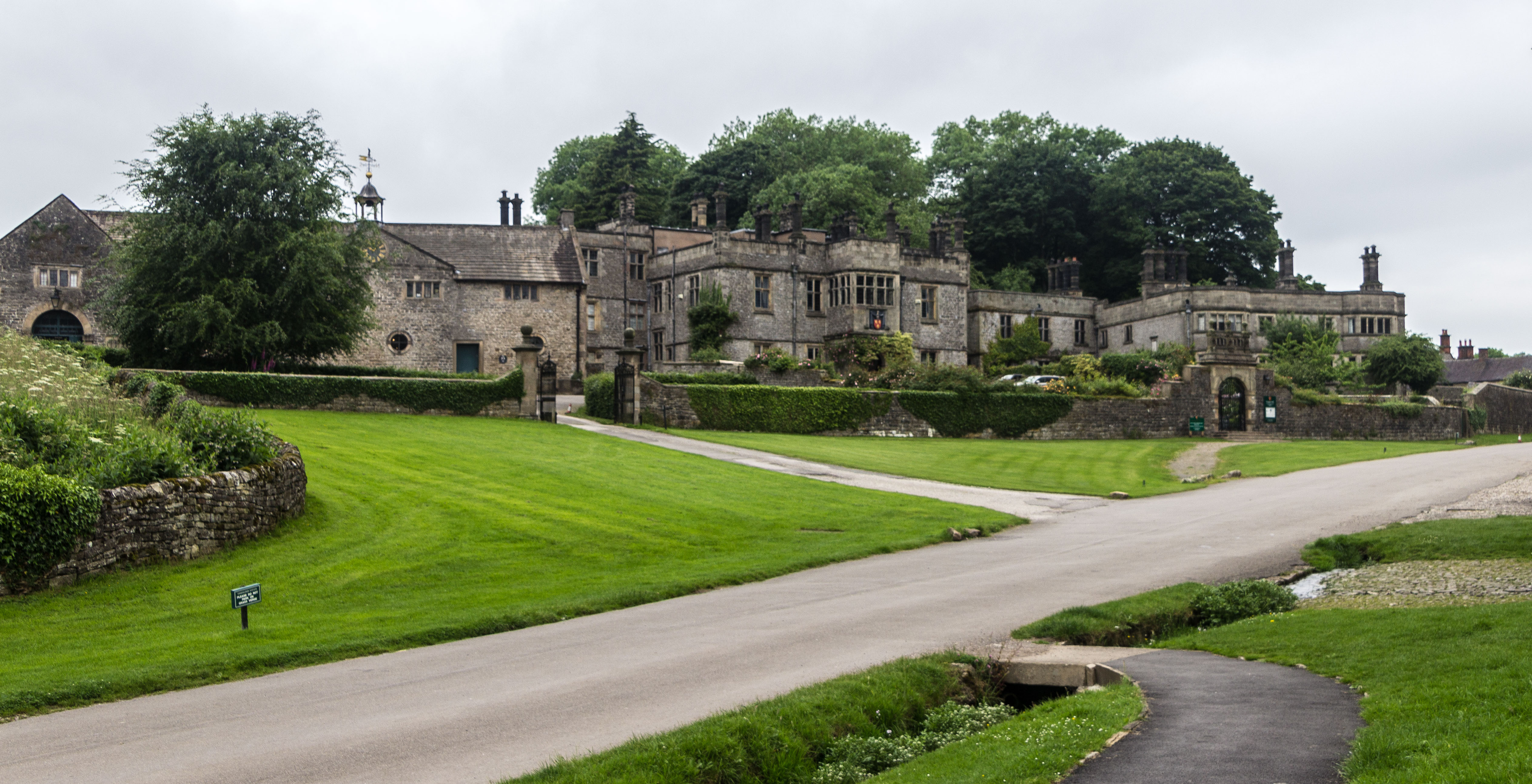
Tissington Hall

Tissington Hall is an early 17th-century Jacobean mansion house in Tissington, near Ashbourne, Derbyshire. It is a Grade II* listed building. The FitzHerberts...

Tissington

Tissington is a village and former civil parish, now in the parish of Tissington and Lea Hall, in the Derbyshire Dales district of Derbyshire, England...

Tissington and Lea Hall

Tissington and Lea Hall is a civil parish within the Derbyshire Dales district, which is in the county of Derbyshire, England. Named for its settlements...

St Edmund's Church, Fenny Bentley

St Edmund's Church, Fenny Bentley is a Grade II* listed parish church in the Church of England in Fenny Bentley, Derbyshire. == History == The church dates...

Fenny Bentley

Fenny Bentley is a small village and civil parish located close to Dovedale in the Derbyshire Dales district of Derbyshire, England. The population in...

Thorpe Cloud railway station

Thorpe Cloud railway station was opened in 1899 between the villages of Thorpe and Fenny Bentley in Derbyshire, south east of Buxton. == History == The...

Nearby Amenities

Located within 500m of 53.062532,-1.7398842
Bench
Lat/Long: 53.0653091/-1.7370132
Information: board
Tourism: information
Lat/Long: 53.0653574/-1.7364207
Bench
Lat/Long: 53.0652416/-1.73694
Bus Stop
Bus: yes
Public Transport: platform
Lat/Long: 53.0668007/-1.738466
Bench
Lat/Long: 53.0667904/-1.7386892
Ele: 207.0000000
Lat/Long: 53.0640222/-1.7402355
Ele: 205.0000000
Lat/Long: 53.0640601/-1.7402709
Ele: 206.0000000
Lat/Long: 53.0641036/-1.7401935
Barrier: stile
Ele: 202.0000000
Source: GPS
Steps: 1
Stile: stepover
Lat/Long: 53.0639684/-1.7400091
Ele: 201.0000000
Lat/Long: 53.063619/-1.7400982
Barrier: stile
Ele: 212.0
Stile: squeezer
Lat/Long: 53.0663001/-1.7400516
Barrier: stile
Ele: 204.0000000
Steps: 1
Stile: stepover
Lat/Long: 53.0601376/-1.7419142
Ele: 206.0000000
Lat/Long: 53.0613433/-1.7418713
Barrier: stile
Material: wood
Source: survey;gps
Stile: squeezer
Lat/Long: 53.0644154/-1.7347197
Barrier: stile
Lat/Long: 53.0620185/-1.7349032
Barrier: cattle_grid
Bicycle: yes
Foot: yes
Motorcar: yes
Motorcycle: yes
Lat/Long: 53.0666674/-1.7407173
Addr Housename: Darfield Cottages
Addr Housenumber: 1
Addr Street: Darfield Lane
Wikidata: Q26442636
Lat/Long: 53.0660591/-1.7352458
Barrier: cattle_grid
Bicycle: yes
Foot: yes
Motorcycle: yes
Lat/Long: 53.0627309/-1.7329349
Barrier: cattle_grid
Bicycle: yes
Foot: yes
Horse: no
Motorcycle: yes
Lat/Long: 53.0652051/-1.7346507
Barrier: stile
Check Date: 2023-11-14
Material: wood
Source: survey;gps
Step Count: 2
Stile: stepover
Lat/Long: 53.0652185/-1.7346135
Barrier: entrance
Source: survey;gps
Lat/Long: 53.0653919/-1.7366329
Tissington
Tourism: picnic_site
Lat/Long: 53.0652013/-1.7371755
Give Way
Direction: backward
Lat/Long: 53.0630804/-1.7462764
Give Way
Direction: backward
Lat/Long: 53.06312/-1.7461539
Bicycle Parking
Bicycle Parking: stands
Capacity: 16
Covered: no
Lat/Long: 53.0654299/-1.7365158
Tissington
Historic Railway: station
Railway: site
Wikidata: Q16248397
Wikipedia: en:Tissington railway station
Lat/Long: 53.0654668/-1.7363516
The data included in this document is from www.openstreetmap.org. The data is made available under ODbL.

Have you been to Mill Pond Plantation?

Leave your review of Mill Pond Plantation below (or comments, questions and feedback).