Wogden Bottom

Valley in Yorkshire

England

Wogden Bottom

Temporary bridge on the TPT diversion at Dunford Bridge This is a temporary bridge on the Trans Pennine Trail diversion at Dunford Bridge. It came into use in late 2021 and will remain until seven electricity pylons have been removed. The cable will be buried under the TPT.
Temporary bridge on the TPT diversion at Dunford Bridge Credit: Dave Pickersgill

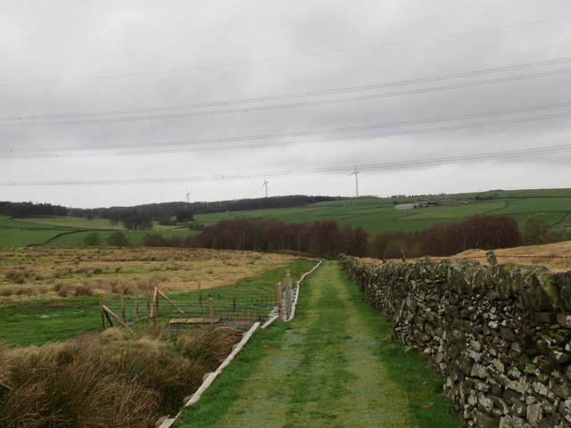
Wogden Bottom is a picturesque valley located in the county of Yorkshire, England. Situated in the heart of the Pennines, this hidden gem is renowned for its natural beauty and tranquil atmosphere. The valley is nestled between rolling hills, offering breathtaking views of the surrounding countryside.

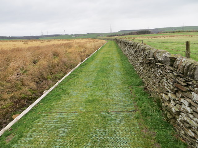
Wogden Bottom is characterized by its lush green meadows, dotted with vibrant wildflowers during the warmer months. The babbling Wogden Brook meanders through the valley, adding to its charm and providing a calming soundtrack for visitors. The brook is home to various species of fish, making it a popular spot for fishing enthusiasts.

The valley is also rich in wildlife, attracting nature lovers from far and wide. Visitors can often spot a diverse range of bird species, including the elusive kingfisher and the majestic buzzard soaring overhead. Additionally, the valley is home to various mammals, such as rabbits, foxes, and even the occasional deer.

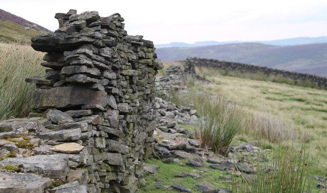
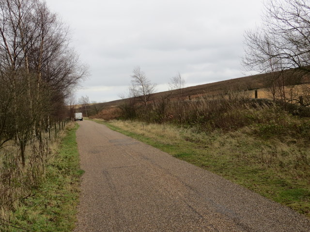
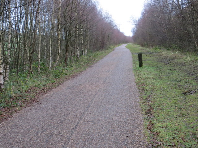
For those seeking outdoor activities, Wogden Bottom offers ample opportunities for hiking and walking. There are several well-marked trails that wind through the valley, catering to both beginners and experienced hikers. These paths lead explorers through enchanting woodlands, across charming stone bridges, and to stunning viewpoints of the surrounding countryside.

Overall, Wogden Bottom is a true haven for nature enthusiasts and those looking to escape the hustle and bustle of city life. Its untouched beauty and peaceful ambience make it a must-visit destination for anyone seeking a tranquil retreat in the heart of Yorkshire.

If you have any feedback on the listing, please let us know in the comments section below.

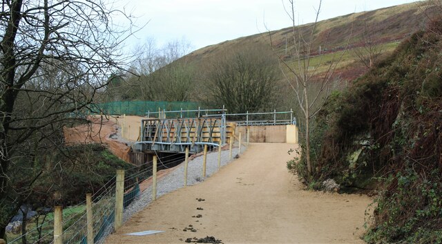
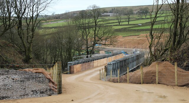
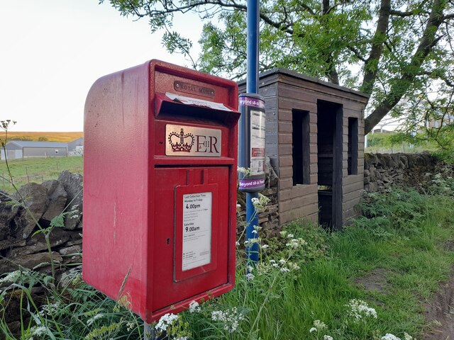
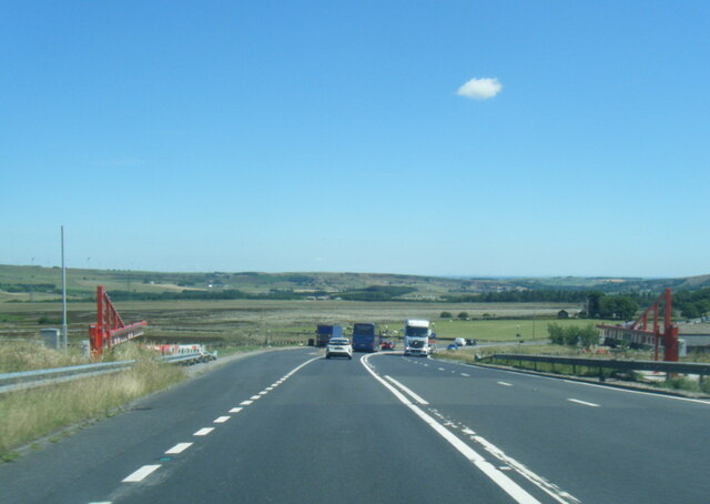
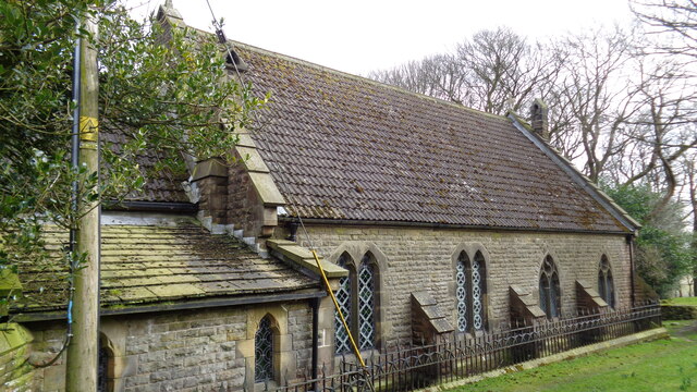
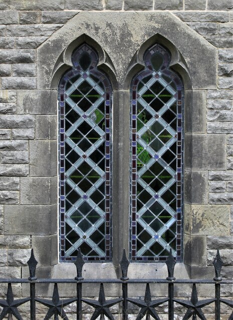
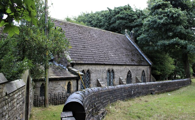
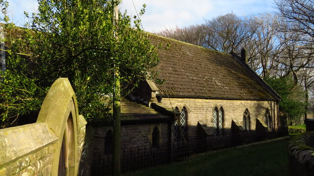
Wogden Bottom Images

Images are sourced within 2km of 53.520529/-1.7330178 or Grid Reference SE1702. Thanks to Geograph Open Source API. All images are credited.

Temporary bridge on the TPT diversion at Dunford Bridge This is a temporary bridge on the Trans Pennine Trail diversion at Dunford Bridge. It came into use in late 2021 and will remain until seven electricity pylons have been removed. The cable will be buried under the TPT.
Temporary bridge on the TPT diversion at Dunford Bridge
This is a temporary bridge on the Trans Pennine Trail diversion at Dunford Bridge. It came into use in late 2021 and will remain until seven electricity pylons have been removed. The cable will be buried under the TPT.
Bridge on the Trans Pennine Trail diversion This is a new (permanent) bridge on the Trans Pennine Trail diversion at Dunford Bridge. It came into use in late 2021. The diversion will remain until seven electricity pylons have been removed. The cable will be buried under the TPT.
Bridge on the Trans Pennine Trail diversion
This is a new (permanent) bridge on the Trans Pennine Trail diversion at Dunford Bridge. It came into use in late 2021. The diversion will remain until seven electricity pylons have been removed. The cable will be buried under the TPT.
Post Box at Townhead S36 698. Royal Mail list this box as 'Townhead'.
Post Box at Townhead
S36 698. Royal Mail list this box as 'Townhead'.
A628 at the winter closure gates on the Woodhead Road
Church of St Ann At Carlecotes Hall
Church of St Ann
At Carlecotes Hall
St Ann's Church, Carlecotes
Old milestone The remains of a West Riding CC milestone from 1893/94.   It lost its attachment sometime during the last quarter of the 20C.   Legends-lhs-HUDDERSFILD/10½ MILES/HOLMFIRTH/5 MILES.   Rhs-SHEFFIELD/16 MILES.   Top-NEW MILL DISTRICT/ROAD/THURLSTONE.   It is on the A616 just south of the crossroads with the B6106.   Although damaged it is Grade II listed 1151099.
Old milestone
The remains of a West Riding CC milestone from 1893/94. It lost its attachment sometime during the last quarter of the 20C. Legends-lhs-HUDDERSFILD/10½ MILES/HOLMFIRTH/5 MILES. Rhs-SHEFFIELD/16 MILES. Top-NEW MILL DISTRICT/ROAD/THURLSTONE. It is on the A616 just south of the crossroads with the B6106. Although damaged it is Grade II listed 1151099.
On the moors above Langsett
The  Dog  and  Partridge  from  the  car  park
The Dog and Partridge from the car park
Over  fields  from  the  Dog  and  Partridge  car  park Left of centre can be seen traffic on the A628 toward Flouch roundabout, the low cloud made for a misty day
Over fields from the Dog and Partridge car park
Left of centre can be seen traffic on the A628 toward Flouch roundabout, the low cloud made for a misty day
A  misty  moorland  scene From the rear of the Dog and Partridge a few rough fields before Harden Moor
A misty moorland scene
From the rear of the Dog and Partridge a few rough fields before Harden Moor
Shell and auger drilling Geotechnical investigation for a new raw water pipeline to Langsett
Shell and auger drilling
Geotechnical investigation for a new raw water pipeline to Langsett
The Newly Surfaced Path across Reddishaw Knoll Looking northward.
The Newly Surfaced Path across Reddishaw Knoll
Looking northward.
The Newly Surfaced Path across Reddishaw Knoll Looking north-westward.
The Newly Surfaced Path across Reddishaw Knoll
Looking north-westward.
The Trans Pennine Trail near Rolly Holme Looking eastward along the former railway line.
The Trans Pennine Trail near Rolly Holme
Looking eastward along the former railway line.
The Trans Pennine Trail to the south of Townhead Looking eastward along the disused railway line.
The Trans Pennine Trail to the south of Townhead
Looking eastward along the disused railway line.
Show me another place!

Wogden Bottom is located at Grid Ref: SE1702 (Lat: 53.520529, Lng: -1.7330178)

Division: West Riding

Unitary Authority: Barnsley

Police Authority: South Yorkshire

What 3 Words

///gent.phones.streetcar. Near Holmfirth, West Yorkshire

Related Wikis

Carlecotes

Carlecotes is a village in the metropolitan borough of Barnsley in South Yorkshire, England. Carlecotes is within Dunford civil parish. The village is...

Dunford

Dunford is a civil parish in the Metropolitan Borough of Barnsley, 14.5 miles (23.3 km) northwest of Sheffield in South Yorkshire, England. It lies in...

Dunford Bridge

Dunford Bridge is a remote hamlet in the civil parish of Dunford, lying northwest of Sheffield in South Yorkshire, England, 1.3 miles (2 km) from the...

Hazlehead Bridge railway station

Hazlehead Bridge railway station was a railway station on the Sheffield, Ashton-under-Lyne and Manchester Railway's Woodhead Line. It served villages scattered...

Nearby Amenities

Located within 500m of 53.520529,-1.7330178
Design: barrel
Power: tower
Lat/Long: 53.521726/-1.7276646
Design: barrel
Power: tower
Lat/Long: 53.5207276/-1.737982
Design: barrel
Power: tower
Lat/Long: 53.5212447/-1.7327529
Location Transition: yes
Power: tower
Lat/Long: 53.5203186/-1.7397982
Location Transition: yes
Power: tower
Lat/Long: 53.5200971/-1.7395133
Bench
Backrest: no
Lat/Long: 53.5196387/-1.7340734
Bench
Backrest: no
Lat/Long: 53.519467/-1.7372947
The data included in this document is from www.openstreetmap.org. The data is made available under ODbL.

Have you been to Wogden Bottom?

Leave your review of Wogden Bottom below (or comments, questions and feedback).