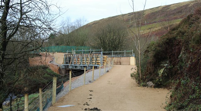
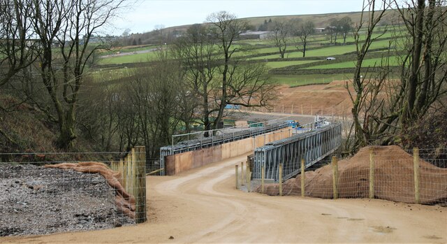
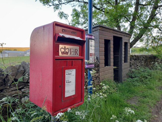
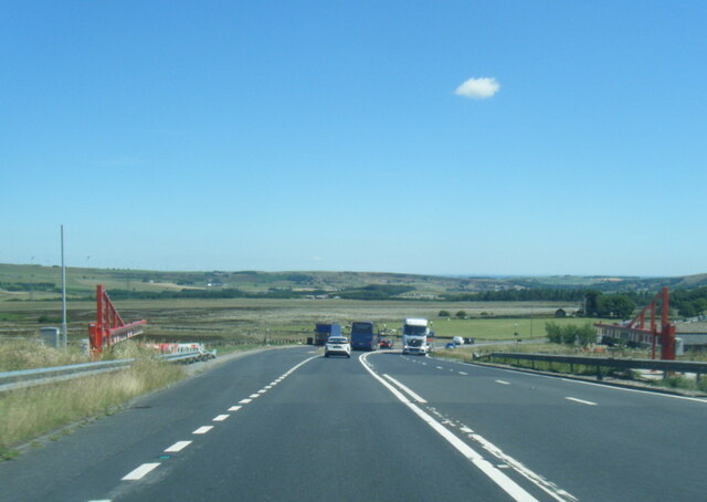
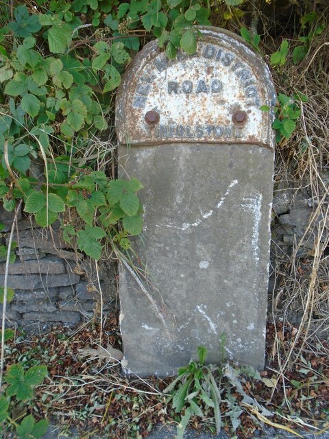
Thurlstone Moors

Downs, Moorland in Yorkshire

England

Thurlstone Moors

Temporary bridge on the TPT diversion at Dunford Bridge This is a temporary bridge on the Trans Pennine Trail diversion at Dunford Bridge. It came into use in late 2021 and will remain until seven electricity pylons have been removed. The cable will be buried under the TPT.
Temporary bridge on the TPT diversion at Dunford Bridge Credit: Dave Pickersgill

Thurlstone Moors is a picturesque area located in Yorkshire, in the northern part of England. Spanning across the Downs and Moorland, this region is known for its natural beauty and diverse landscape.

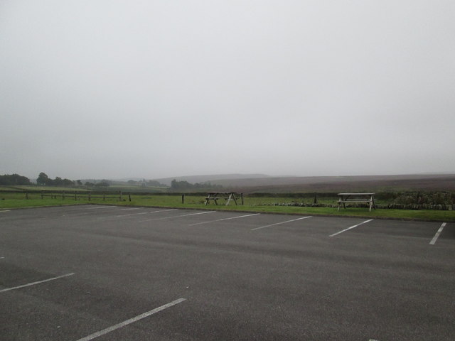
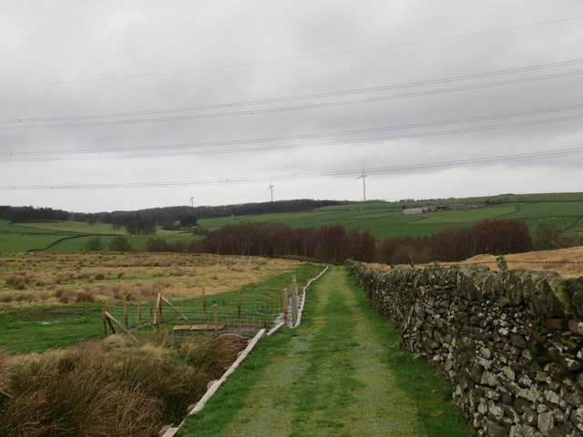
The moors in Thurlstone are characterized by rolling hills covered in heather, grasses, and shrubs, creating a vibrant and colorful scenery. The area is also dotted with numerous small streams and rivers, adding to its charm. The moors provide a habitat for a variety of wildlife, including birds such as curlews, lapwings, and grouse, as well as mammals like hares and deer.

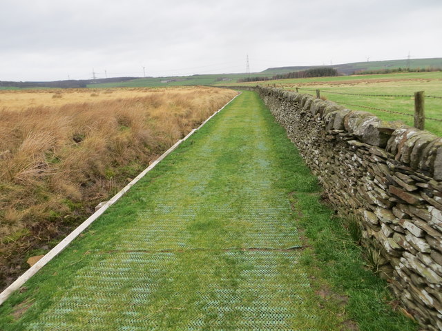
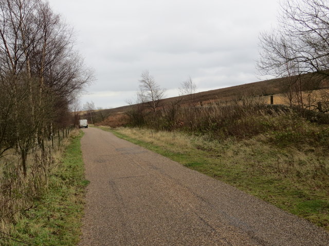
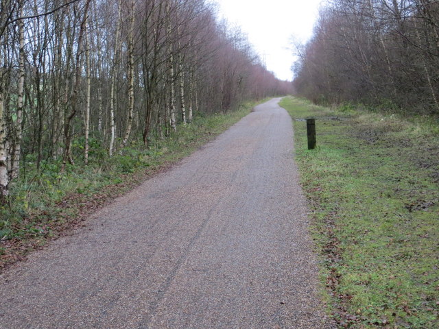
Thurlstone Moors is a popular destination for outdoor enthusiasts and nature lovers. The vast expanse of the moors offers ample opportunities for activities such as hiking, cycling, and birdwatching. There are several well-marked trails that allow visitors to explore the area and take in its stunning views.

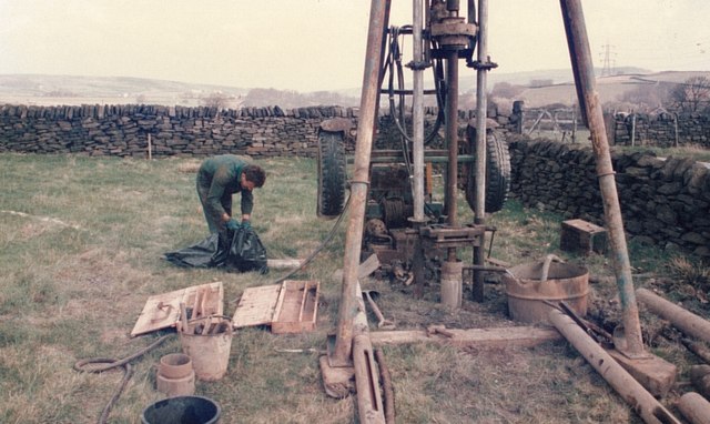
In addition to its natural beauty, Thurlstone Moors has a rich historical and cultural significance. The area is home to several ancient burial mounds and stone circles, which provide insight into the region's ancient past. There are also remnants of old mining activities that date back centuries.

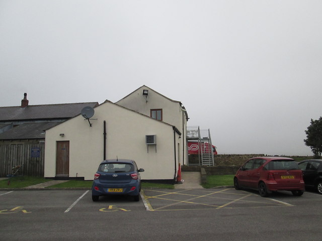
The moors are easily accessible, with several nearby towns and villages providing accommodations and amenities for visitors. Thurlstone itself is a charming village, offering a range of services including pubs, restaurants, and accommodations.

Overall, Thurlstone Moors in Yorkshire is a captivating destination that offers a blend of natural beauty, outdoor activities, and historical significance. Whether you are seeking tranquility, adventure, or a glimpse into the past, this area has something to offer for everyone.

If you have any feedback on the listing, please let us know in the comments section below.

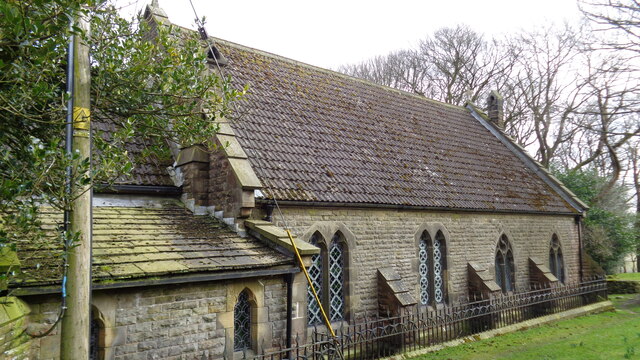
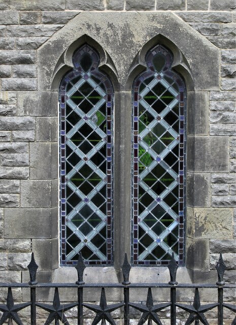
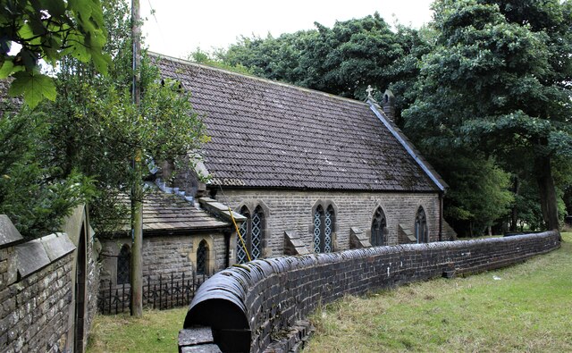
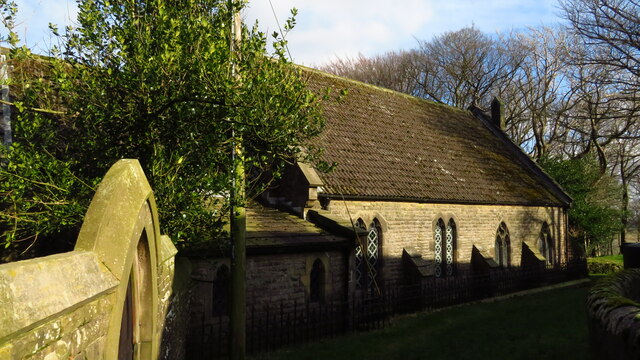
Thurlstone Moors Images

Images are sourced within 2km of 53.521385/-1.7338721 or Grid Reference SE1702. Thanks to Geograph Open Source API. All images are credited.

Temporary bridge on the TPT diversion at Dunford Bridge This is a temporary bridge on the Trans Pennine Trail diversion at Dunford Bridge. It came into use in late 2021 and will remain until seven electricity pylons have been removed. The cable will be buried under the TPT.
Temporary bridge on the TPT diversion at Dunford Bridge
This is a temporary bridge on the Trans Pennine Trail diversion at Dunford Bridge. It came into use in late 2021 and will remain until seven electricity pylons have been removed. The cable will be buried under the TPT.
Bridge on the Trans Pennine Trail diversion This is a new (permanent) bridge on the Trans Pennine Trail diversion at Dunford Bridge. It came into use in late 2021. The diversion will remain until seven electricity pylons have been removed. The cable will be buried under the TPT.
Bridge on the Trans Pennine Trail diversion
This is a new (permanent) bridge on the Trans Pennine Trail diversion at Dunford Bridge. It came into use in late 2021. The diversion will remain until seven electricity pylons have been removed. The cable will be buried under the TPT.
Post Box at Townhead S36 698. Royal Mail list this box as 'Townhead'.
Post Box at Townhead
S36 698. Royal Mail list this box as 'Townhead'.
A628 at the winter closure gates on the Woodhead Road
Church of St Ann At Carlecotes Hall
Church of St Ann
At Carlecotes Hall
St Ann's Church, Carlecotes
Old milestone The remains of a West Riding CC milestone from 1893/94.   It lost its attachment sometime during the last quarter of the 20C.   Legends-lhs-HUDDERSFILD/10½ MILES/HOLMFIRTH/5 MILES.   Rhs-SHEFFIELD/16 MILES.   Top-NEW MILL DISTRICT/ROAD/THURLSTONE.   It is on the A616 just south of the crossroads with the B6106.   Although damaged it is Grade II listed 1151099.
Old milestone
The remains of a West Riding CC milestone from 1893/94. It lost its attachment sometime during the last quarter of the 20C. Legends-lhs-HUDDERSFILD/10½ MILES/HOLMFIRTH/5 MILES. Rhs-SHEFFIELD/16 MILES. Top-NEW MILL DISTRICT/ROAD/THURLSTONE. It is on the A616 just south of the crossroads with the B6106. Although damaged it is Grade II listed 1151099.
The  Dog  and  Partridge  from  the  car  park
The Dog and Partridge from the car park
Over  fields  from  the  Dog  and  Partridge  car  park Left of centre can be seen traffic on the A628 toward Flouch roundabout, the low cloud made for a misty day
Over fields from the Dog and Partridge car park
Left of centre can be seen traffic on the A628 toward Flouch roundabout, the low cloud made for a misty day
A  misty  moorland  scene From the rear of the Dog and Partridge a few rough fields before Harden Moor
A misty moorland scene
From the rear of the Dog and Partridge a few rough fields before Harden Moor
Shell and auger drilling Geotechnical investigation for a new raw water pipeline to Langsett
Shell and auger drilling
Geotechnical investigation for a new raw water pipeline to Langsett
Ordnance Survey Cut Mark This can be found on the wall of the parapet of the bridge over the River Don.
For more detail see : <span class="nowrap"><a title="http://www.bench-marks.org.uk/bm41412" rel="nofollow ugc noopener" href="http://www.bench-marks.org.uk/bm41412">Link</a><img style="margin-left:2px;" alt="External link" title="External link - shift click to open in new window" src="https://s1.geograph.org.uk/img/external.png" width="10" height="10"/></span>
Ordnance Survey Cut Mark
This can be found on the wall of the parapet of the bridge over the River Don. For more detail see : LinkExternal link
The Newly Surfaced Path across Reddishaw Knoll Looking northward.
The Newly Surfaced Path across Reddishaw Knoll
Looking northward.
The Newly Surfaced Path across Reddishaw Knoll Looking north-westward.
The Newly Surfaced Path across Reddishaw Knoll
Looking north-westward.
The Trans Pennine Trail near Rolly Holme Looking eastward along the former railway line.
The Trans Pennine Trail near Rolly Holme
Looking eastward along the former railway line.
The Trans Pennine Trail to the south of Townhead Looking eastward along the disused railway line.
The Trans Pennine Trail to the south of Townhead
Looking eastward along the disused railway line.
Show me another place!

Thurlstone Moors is located at Grid Ref: SE1702 (Lat: 53.521385, Lng: -1.7338721)

Division: West Riding

Unitary Authority: Barnsley

Police Authority: South Yorkshire

What 3 Words

///obliging.arrived.tells. Near Holmfirth, West Yorkshire

Related Wikis

Carlecotes

Carlecotes is a village in the metropolitan borough of Barnsley in South Yorkshire, England. Carlecotes is within Dunford civil parish. The village is...

Dunford

Dunford is a civil parish in the Metropolitan Borough of Barnsley, 14.5 miles (23.3 km) northwest of Sheffield in South Yorkshire, England. It lies in...

Dunford Bridge

Dunford Bridge is a remote hamlet in the civil parish of Dunford, lying northwest of Sheffield in South Yorkshire, England, 1.3 miles (2 km) from the...

Hazlehead Bridge railway station

Hazlehead Bridge railway station was a railway station on the Sheffield, Ashton-under-Lyne and Manchester Railway's Woodhead Line. It served villages scattered...

Nearby Amenities

Located within 500m of 53.521385,-1.7338721
Bus Stop
Brook Hill Lane/Cliff Lane
Naptan AtcoCode: 370050986
Naptan Bearing: E
Naptan CommonName: Brook Hill Lane/Cliff Lane
Naptan Indicator: 50986
Naptan Landmark: 50986
Naptan PlusbusZoneRef: ROTHCEN
Naptan Street: Brook Hill Lane
Naptan Verified: no
Source: naptan_import
Lat/Long: 53.5247722/-1.7376087
Bus Stop
Brook Hill Lane/Home Farm
Alt Name: Brook Hill Lane/Home Farm
Naptan AltCommonName: Brook Hill Lane/Home Farm
Naptan AtcoCode: 370050987
Naptan Bearing: SW
Naptan CommonName: Brook Hill Lane/Home Farm
Naptan Indicator: 50987
Naptan Landmark: HOME FARM
Naptan PlusbusZoneRef: ROTHCEN
Naptan Street: Brook Hill Lane
Naptan Verified: no
Source: naptan_import
Lat/Long: 53.5255788/-1.7344651
Brook Hill Lane/Cliff Lane
Naptan AtcoCode: 370055496
Naptan Bearing: W
Naptan BusStopType: CUS
Naptan CommonName: Brook Hill Lane/Cliff Lane
Naptan Indicator: 55496
Naptan Landmark: FLIGHT HILL
Naptan PlusbusZoneRef: ROTHCEN
Naptan Street: Brook Hill Lane
Naptan Verified: no
Source: naptan_import
Lat/Long: 53.5246558/-1.7377527
Brook Hill Lane/Home Farm
Naptan AtcoCode: 370055497
Naptan Bearing: NE
Naptan BusStopType: CUS
Naptan CommonName: Brook Hill Lane/Home Farm
Naptan Indicator: 55497
Naptan Landmark: HOME FARM
Naptan PlusbusZoneRef: ROTHCEN
Naptan Street: Brook Hill Lane
Naptan Verified: no
Source: naptan_import
Lat/Long: 53.5256689/-1.7345852
Design: barrel
Power: tower
Lat/Long: 53.521726/-1.7276646
Design: barrel
Power: tower
Lat/Long: 53.5207276/-1.737982
Design: barrel
Power: tower
Lat/Long: 53.5212447/-1.7327529
Power: pole
Lat/Long: 53.5239564/-1.7394231
Power: pole
Lat/Long: 53.523887/-1.7386105
Location Transition: yes
Power: tower
Lat/Long: 53.5203186/-1.7397982
Location Transition: yes
Power: tower
Lat/Long: 53.5200971/-1.7395133
Barrier: stile
Step Count: 3
Stile: stepover
Lat/Long: 53.5255485/-1.7312829
Bench
Backrest: no
Lat/Long: 53.5196387/-1.7340734
Bench
Backrest: no
Lat/Long: 53.519467/-1.7372947
Post Box
Post Box Type: wall
Ref: S81 11
Royal Cypher: EIIR
Lat/Long: 53.5242001/-1.7385607
Barrier: stile
Step Count: 3
Stile: stepover
Lat/Long: 53.5236237/-1.7400408
The data included in this document is from www.openstreetmap.org. The data is made available under ODbL.

Have you been to Thurlstone Moors?

Leave your review of Thurlstone Moors below (or comments, questions and feedback).