Heaton Fields
Downs, Moorland in Yorkshire
England
Heaton Fields
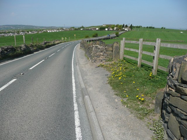
Heaton Fields is a picturesque region located in Yorkshire, England, known for its stunning natural landscapes comprising downs and moorland. Situated amidst the rolling hills and expansive moors, Heaton Fields offers breathtaking views that attract nature enthusiasts and outdoor adventurers alike.
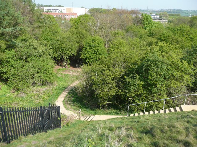
The downs in Heaton Fields are characterized by their gentle slopes and lush greenery. These open grasslands are perfect for leisurely walks, picnics, and enjoying the peaceful countryside. The area is home to a diverse range of flora and fauna, including wildflowers and various bird species, making it an ideal spot for birdwatching and nature photography.
The moorland in Heaton Fields provides a more rugged and wild atmosphere. This vast expanse of heather-covered hills and valleys is a haven for hikers, offering numerous trails of varying difficulty levels. Ramblers can explore the moorland while immersing themselves in the stunning scenery and breathing in the fresh, crisp air.
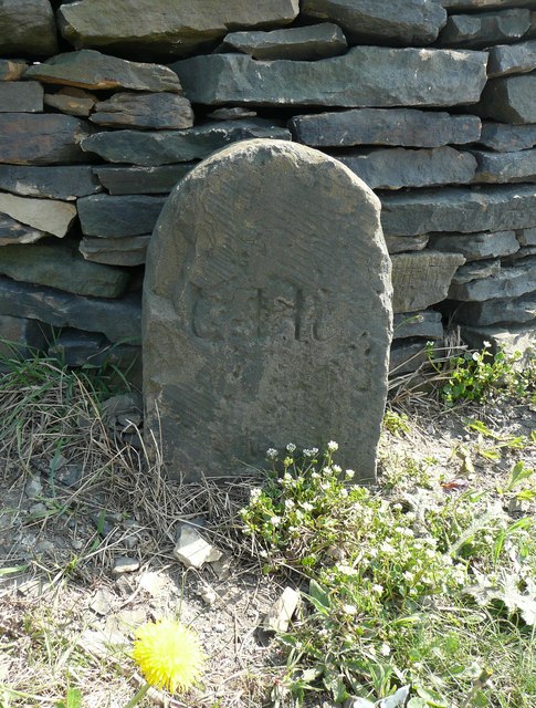
In addition to its natural beauty, Heaton Fields is also rich in cultural heritage. The region boasts historical landmarks, such as ancient stone circles and burial mounds, which provide insight into its past. Visitors can delve into the area's history by visiting the local museums or participating in guided tours.
Heaton Fields is a paradise for those seeking an escape from the hustle and bustle of city life. Its tranquil atmosphere, coupled with its stunning natural landscapes, makes it a must-visit destination for anyone wanting to experience the true beauty of Yorkshire's downs and moorland.
If you have any feedback on the listing, please let us know in the comments section below.
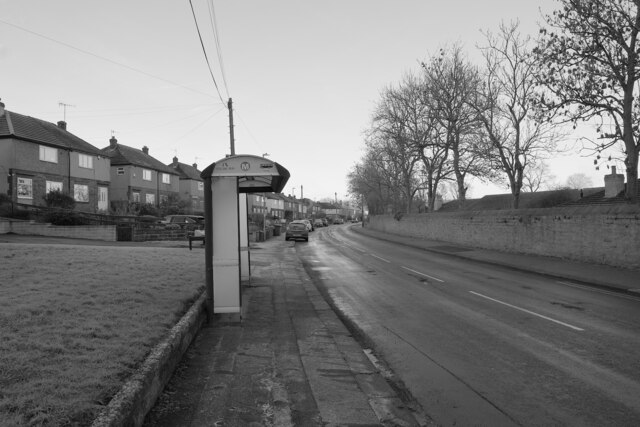
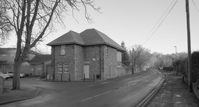
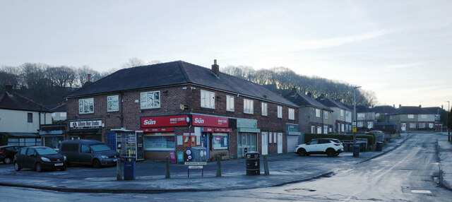
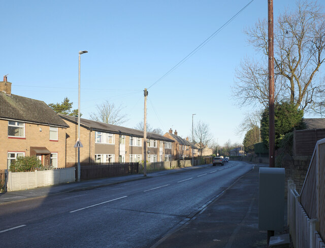
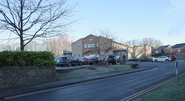
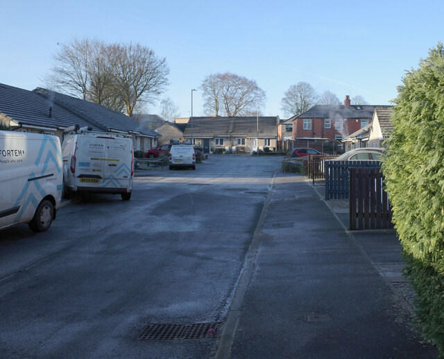
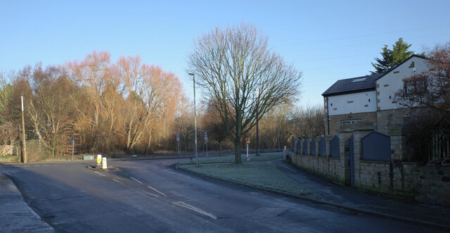
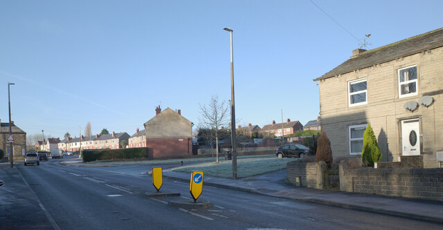
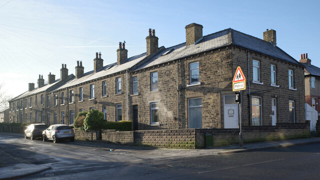
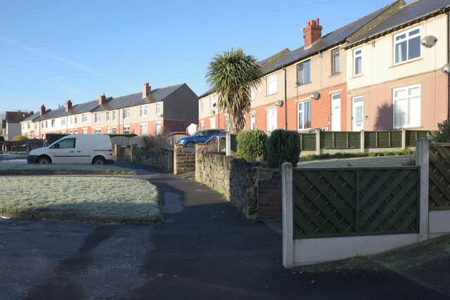
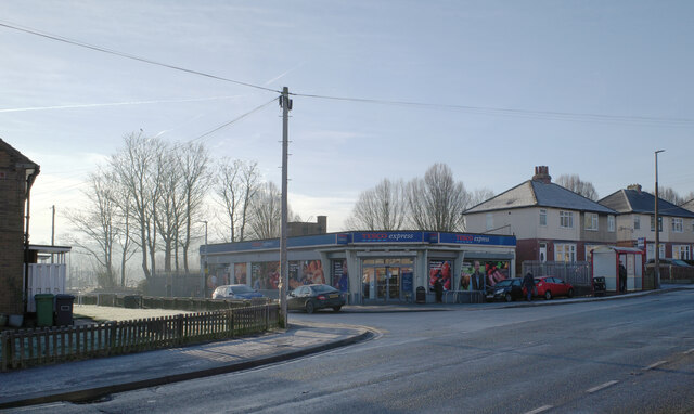
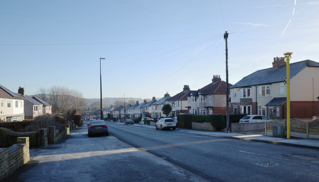
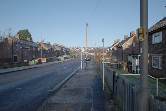
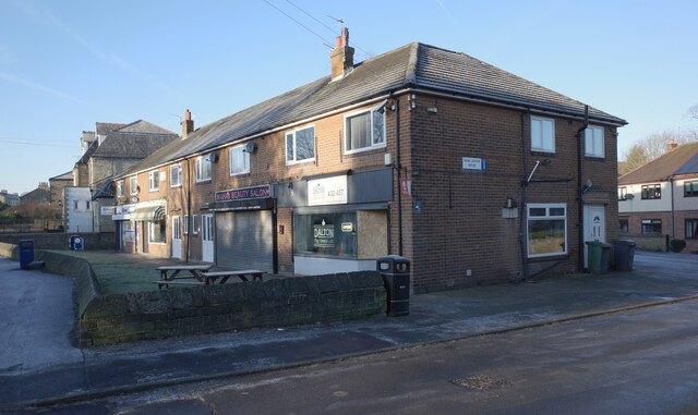
Heaton Fields Images
Images are sourced within 2km of 53.663347/-1.7344475 or Grid Reference SE1718. Thanks to Geograph Open Source API. All images are credited.

Heaton Fields is located at Grid Ref: SE1718 (Lat: 53.663347, Lng: -1.7344475)
Division: West Riding
Unitary Authority: Kirklees
Police Authority: West Yorkshire
What 3 Words
///saves.potato.bridge. Near Mirfield, West Yorkshire
Nearby Locations
Related Wikis

Kirkheaton
Kirkheaton (English: ) is a village in the parish of Kirkburton, in the Kirklees district of West Yorkshire, England, Historically, it is part of the West...

Kirkheaton railway station
Kirkheaton railway station served the village of Kirkheaton, West Yorkshire, England until closure in 1930. It was located immediately north of the junction...
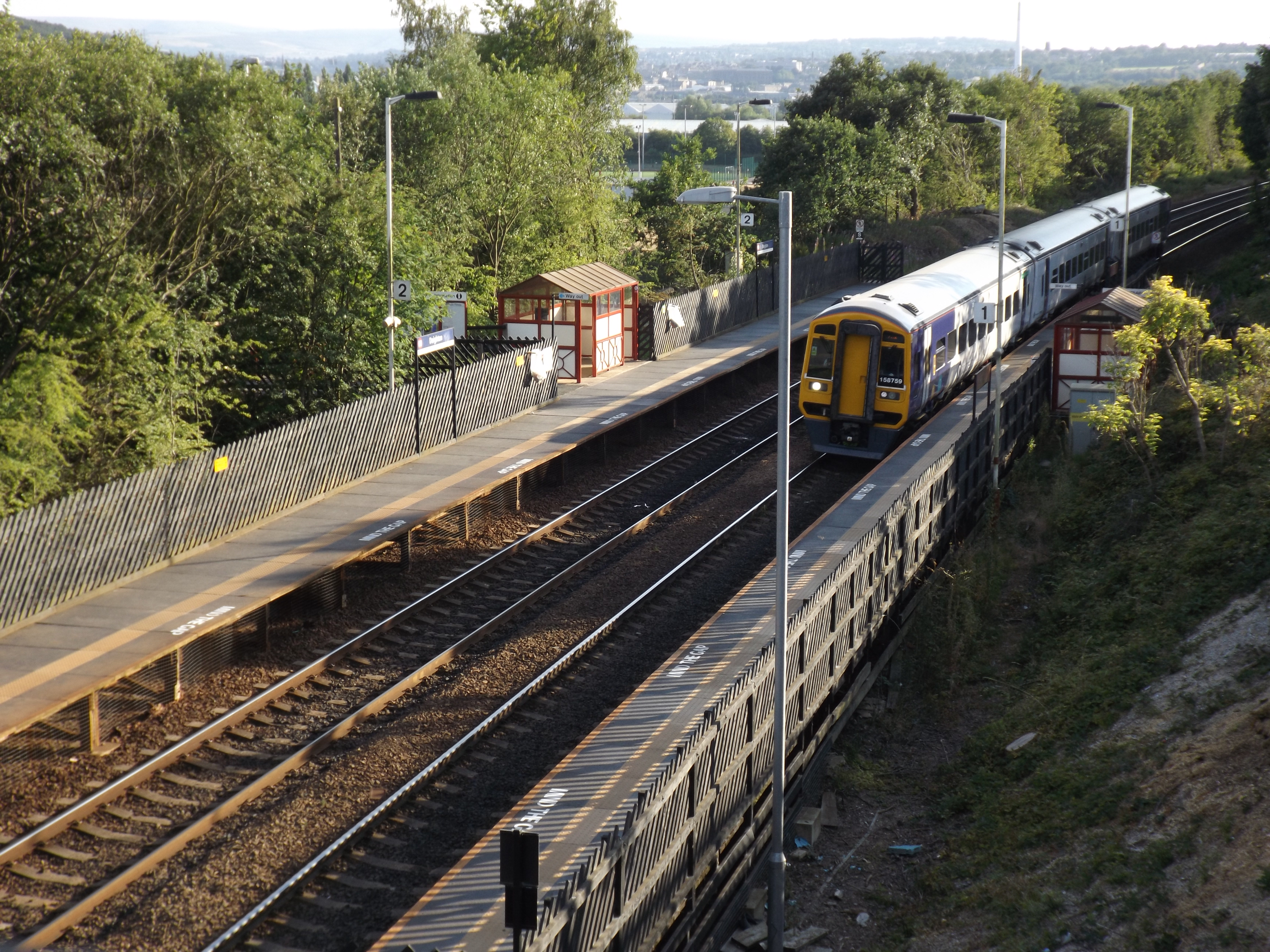
Deighton railway station
Deighton railway station serves the Deighton area of Huddersfield, West Yorkshire, England. Deighton station is the first station 2 miles (3.2 km) northeast...

Dalton, Huddersfield
Dalton is a district of Huddersfield, West Yorkshire in England, approximately one mile east of the town centre between Moldgreen, Rawthorpe and Kirkheaton...
Nearby Amenities
Located within 500m of 53.663347,-1.7344475Have you been to Heaton Fields?
Leave your review of Heaton Fields below (or comments, questions and feedback).