Wogden Moor

Downs, Moorland in Yorkshire

England

Wogden Moor

Temporary bridge on the TPT diversion at Dunford Bridge This is a temporary bridge on the Trans Pennine Trail diversion at Dunford Bridge. It came into use in late 2021 and will remain until seven electricity pylons have been removed. The cable will be buried under the TPT.
Temporary bridge on the TPT diversion at Dunford Bridge Credit: Dave Pickersgill

Wogden Moor, located in Yorkshire, England, is a picturesque expanse of land that encompasses both downs and moorland. Spanning an area of approximately 10 square kilometers, it is a haven for nature enthusiasts and offers a diverse range of flora and fauna.

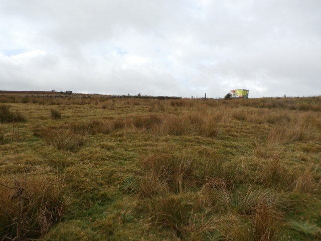
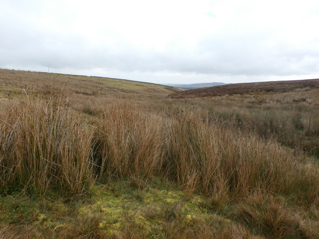
The moorland section of Wogden Moor is characterized by its open, windswept landscape, dominated by heather and grasses that create a vibrant purple hue when in bloom. This habitat provides a home to a variety of bird species, including the iconic red grouse and the elusive merlin falcon. Rare plants such as the carnivorous sundew can also be found amidst the peat bogs that dot the moorland.

On the downs, one can witness rolling hills and expansive vistas, with patches of woodland and hedgerows breaking up the open landscape. The chalky soil here supports an array of plant life, with wildflowers such as cowslips and harebells adding bursts of color in the spring and summer months. The downs are home to a rich assortment of wildlife, including rabbits, hares, and various bird species, such as skylarks and kestrels.

Visitors to Wogden Moor can explore a network of footpaths and bridleways, allowing them to fully immerse themselves in the natural beauty of the area. The moorland and downs provide a tranquil environment for walking, birdwatching, and photography. Additionally, the moorland is a popular location for grouse shooting during the appropriate season.

Overall, Wogden Moor offers a captivating blend of downs and moorland, showcasing the diverse landscapes and wildlife that Yorkshire has to offer.

If you have any feedback on the listing, please let us know in the comments section below.
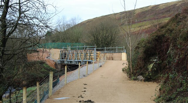
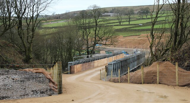
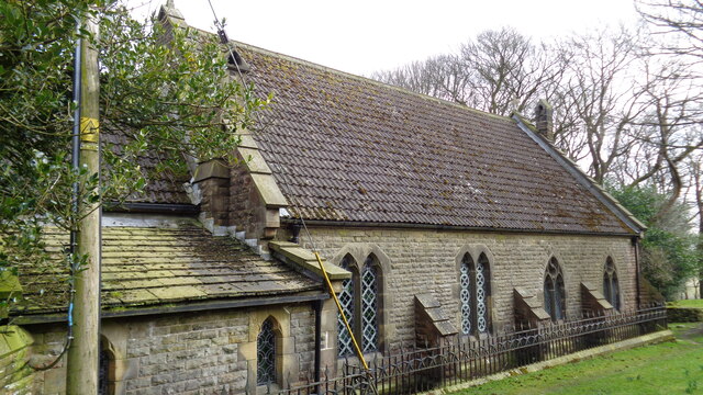
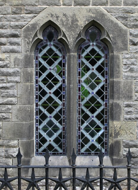
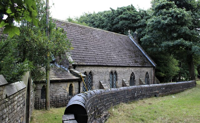
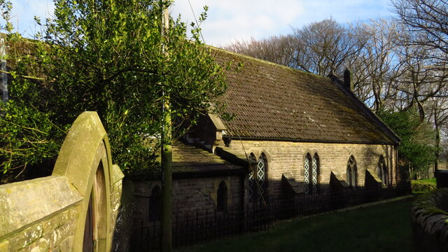
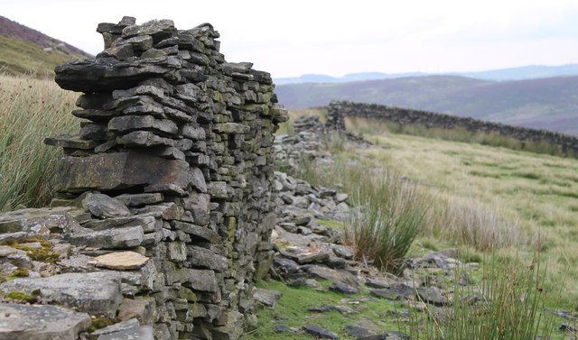
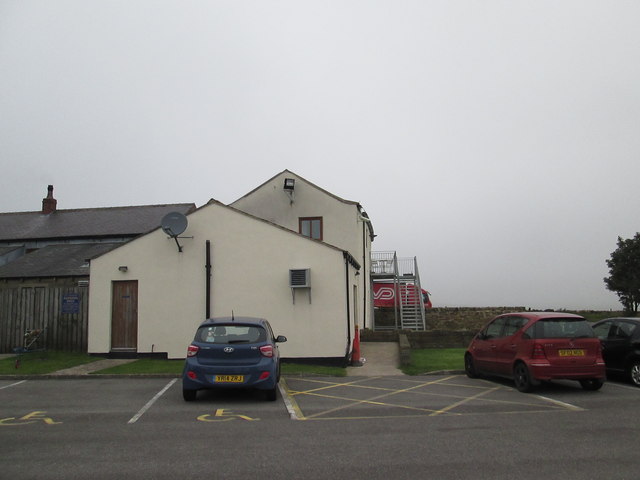
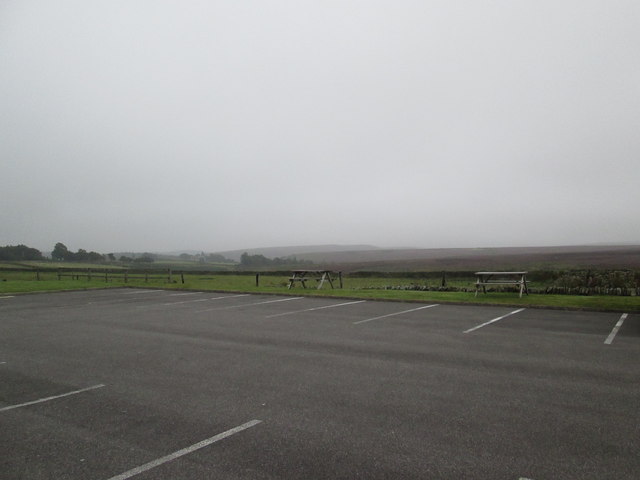
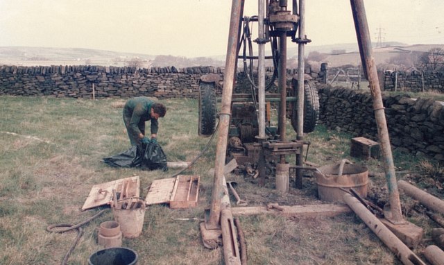
Wogden Moor Images

Images are sourced within 2km of 53.515093/-1.7338814 or Grid Reference SE1702. Thanks to Geograph Open Source API. All images are credited.

Temporary bridge on the TPT diversion at Dunford Bridge This is a temporary bridge on the Trans Pennine Trail diversion at Dunford Bridge. It came into use in late 2021 and will remain until seven electricity pylons have been removed. The cable will be buried under the TPT.
Temporary bridge on the TPT diversion at Dunford Bridge
This is a temporary bridge on the Trans Pennine Trail diversion at Dunford Bridge. It came into use in late 2021 and will remain until seven electricity pylons have been removed. The cable will be buried under the TPT.
Bridge on the Trans Pennine Trail diversion This is a new (permanent) bridge on the Trans Pennine Trail diversion at Dunford Bridge. It came into use in late 2021. The diversion will remain until seven electricity pylons have been removed. The cable will be buried under the TPT.
Bridge on the Trans Pennine Trail diversion
This is a new (permanent) bridge on the Trans Pennine Trail diversion at Dunford Bridge. It came into use in late 2021. The diversion will remain until seven electricity pylons have been removed. The cable will be buried under the TPT.
Old milestone I cleaned and repainted this milestone on the Doncaster Saltersbrook turnpike of 1740 in 2016.  It is on a piece of cut-off original road westwards from what was the Flouch Inn, now closed.  On a visit in 2021 the lettering was refreshed, always difficult on these old weathered stones.
Old milestone
I cleaned and repainted this milestone on the Doncaster Saltersbrook turnpike of 1740 in 2016. It is on a piece of cut-off original road westwards from what was the Flouch Inn, now closed. On a visit in 2021 the lettering was refreshed, always difficult on these old weathered stones.
Post Box at Townhead S36 698. Royal Mail list this box as 'Townhead'.
Post Box at Townhead
S36 698. Royal Mail list this box as 'Townhead'.
A628 at the winter closure gates on the Woodhead Road
Old milestone Just within the Barnsley boundary, in 2002 this West Riding CC milestone was without its backing stone and leaning <a href="https://www.geograph.org.uk/photo/6099189">SE1901 : Old Milestone by the A616, Whams Road, Dunford parish</a>. Later that year it was stolen. In 2021 it was seen on an auction site. Being 'listed' it was recovered and taken to Barnsley. I cleaned and repainted it, the Conservation Officer sourced a new stone and the Highways Department set it back by the roadside, just north of the last house on Whams Road, in July 2022. Grade II listed 1315028.
Old milestone
Just within the Barnsley boundary, in 2002 this West Riding CC milestone was without its backing stone and leaning SE1901 : Old Milestone by the A616, Whams Road, Dunford parish. Later that year it was stolen. In 2021 it was seen on an auction site. Being 'listed' it was recovered and taken to Barnsley. I cleaned and repainted it, the Conservation Officer sourced a new stone and the Highways Department set it back by the roadside, just north of the last house on Whams Road, in July 2022. Grade II listed 1315028.
Old milestone A view of the left side of the West Riding CC milestone dating from 1893/94 on Whams Road.   This shows the lovely piece of well shaped new stone to which the metal is attached by stainless steel bolts.
Old milestone
A view of the left side of the West Riding CC milestone dating from 1893/94 on Whams Road. This shows the lovely piece of well shaped new stone to which the metal is attached by stainless steel bolts.
Church of St Ann At Carlecotes Hall
Church of St Ann
At Carlecotes Hall
St Ann's Church, Carlecotes
On the moors above Langsett
The  Dog  and  Partridge  from  the  car  park
The Dog and Partridge from the car park
Over  fields  from  the  Dog  and  Partridge  car  park Left of centre can be seen traffic on the A628 toward Flouch roundabout, the low cloud made for a misty day
Over fields from the Dog and Partridge car park
Left of centre can be seen traffic on the A628 toward Flouch roundabout, the low cloud made for a misty day
A  misty  moorland  scene From the rear of the Dog and Partridge a few rough fields before Harden Moor
A misty moorland scene
From the rear of the Dog and Partridge a few rough fields before Harden Moor
Shell and auger drilling Geotechnical investigation for a new raw water pipeline to Langsett
Shell and auger drilling
Geotechnical investigation for a new raw water pipeline to Langsett
Lorry on the Woodhead Road The wall on the left of picture marks the last field boundary before the expanse of Dark Peak moorland takes over.
Lorry on the Woodhead Road
The wall on the left of picture marks the last field boundary before the expanse of Dark Peak moorland takes over.
Fox Clough Pictured from a moorland / field boundary just to the south of the Woodhead Road.
Fox Clough
Pictured from a moorland / field boundary just to the south of the Woodhead Road.
Show me another place!

Wogden Moor is located at Grid Ref: SE1702 (Lat: 53.515093, Lng: -1.7338814)

Division: West Riding

Unitary Authority: Barnsley

Police Authority: South Yorkshire

What 3 Words

///blockage.avid.slippery. Near Penistone, South Yorkshire

Related Wikis

Dunford Bridge

Dunford Bridge is a remote hamlet in the civil parish of Dunford, lying northwest of Sheffield in South Yorkshire, England, 1.3 miles (2 km) from the...

Carlecotes

Carlecotes is a village in the metropolitan borough of Barnsley in South Yorkshire, England. Carlecotes is within Dunford civil parish. The village is...

Dunford

Dunford is a civil parish in the Metropolitan Borough of Barnsley, 14.5 miles (23.3 km) northwest of Sheffield in South Yorkshire, England. It lies in...

Hazlehead Bridge railway station

Hazlehead Bridge railway station was a railway station on the Sheffield, Ashton-under-Lyne and Manchester Railway's Woodhead Line. It served villages scattered...

Nearby Amenities

Located within 500m of 53.515093,-1.7338814
The data included in this document is from www.openstreetmap.org. The data is made available under ODbL.

Have you been to Wogden Moor?

Leave your review of Wogden Moor below (or comments, questions and feedback).