Heald Common

Downs, Moorland in Yorkshire

England

Heald Common

Temporary bridge on the TPT diversion at Dunford Bridge This is a temporary bridge on the Trans Pennine Trail diversion at Dunford Bridge. It came into use in late 2021 and will remain until seven electricity pylons have been removed. The cable will be buried under the TPT.
Temporary bridge on the TPT diversion at Dunford Bridge Credit: Dave Pickersgill

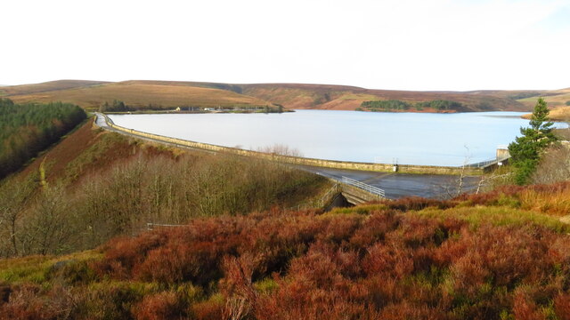
Heald Common is a picturesque area located in the county of Yorkshire, England. Situated amidst the stunning Yorkshire Downs and Moorland, this region offers a diverse landscape that is a haven for nature enthusiasts and outdoor enthusiasts alike.

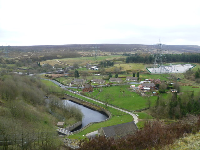
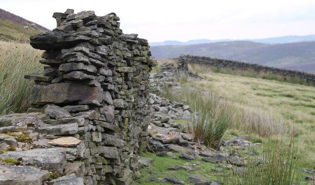
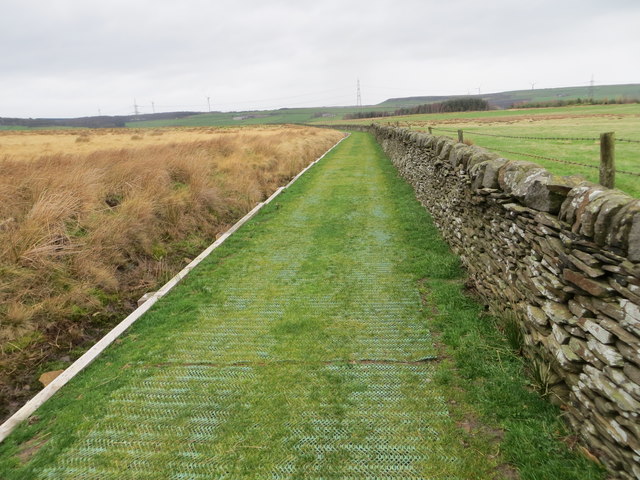
The common is characterized by its rolling hills and expansive meadows, dotted with patches of heather and gorse, which add a vibrant splash of color to the surroundings. The area is also home to a variety of wildlife, including rabbits, hares, and a wide array of bird species, making it a popular spot for birdwatching.

The common is crisscrossed by several walking trails, providing visitors with the opportunity to explore the area's natural beauty. These trails offer breathtaking views of the surrounding countryside, including the nearby moorland, which is known for its rugged and untamed beauty.

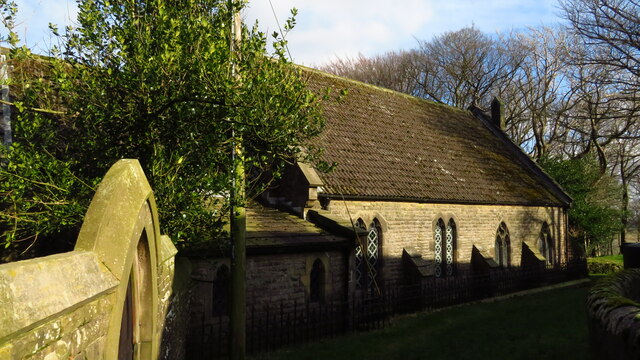
In addition to its natural wonders, Heald Common also boasts a rich cultural heritage. The area is home to several historic sites, such as ancient burial grounds and remains of Bronze Age settlements, giving visitors a glimpse into the region's past.

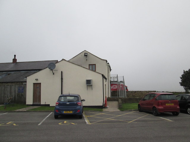
Despite its remote location, Heald Common is easily accessible, with several nearby villages offering accommodation options and amenities. Whether it's a leisurely stroll through the countryside or an adventurous hike across the moorland, Heald Common offers a truly unforgettable experience for those seeking a connection with nature and a taste of Yorkshire's beauty.

If you have any feedback on the listing, please let us know in the comments section below.
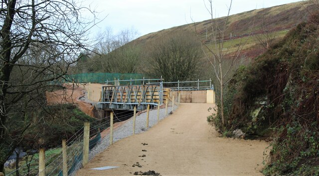
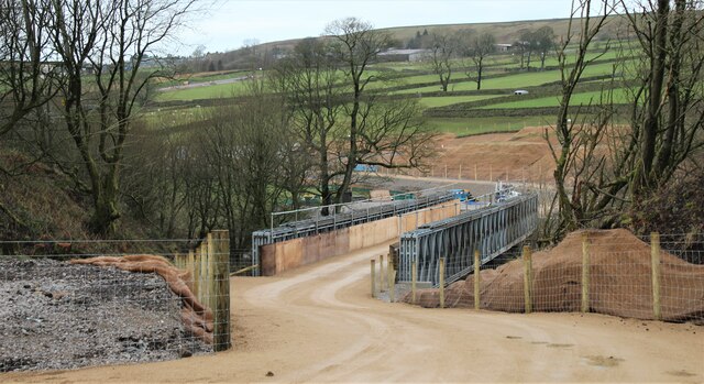
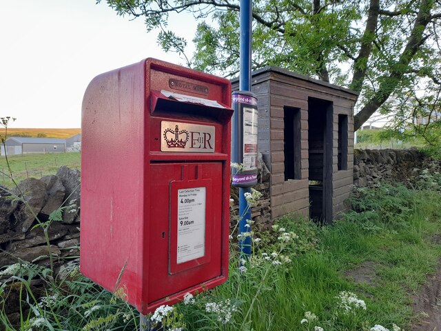
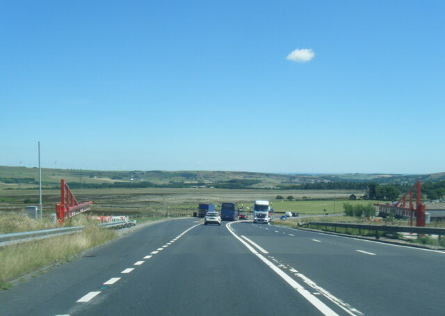
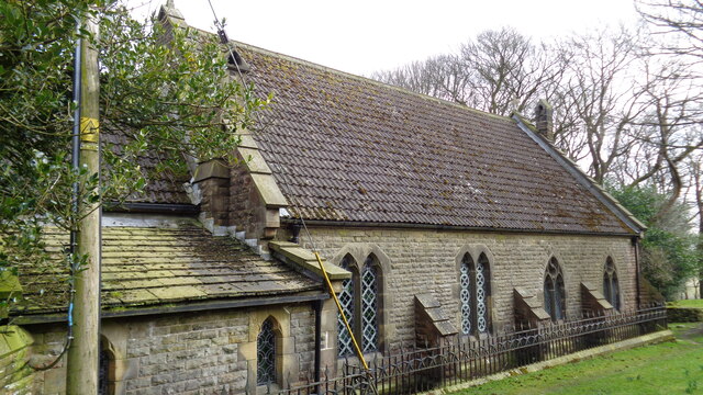
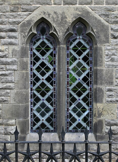
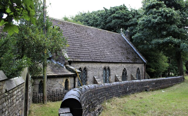
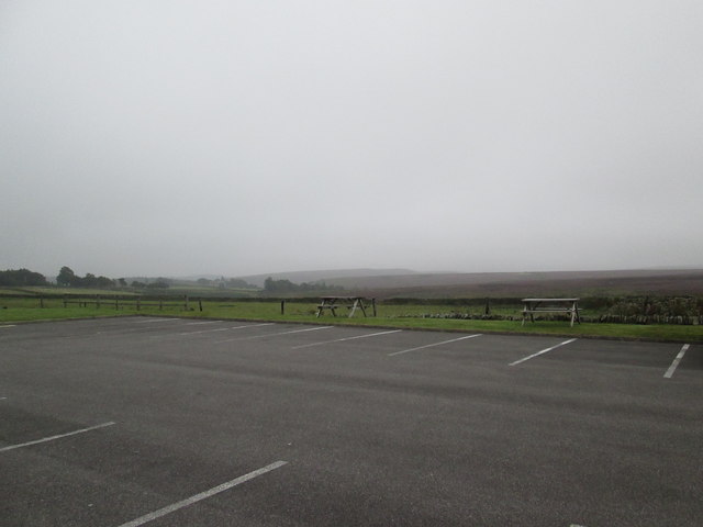
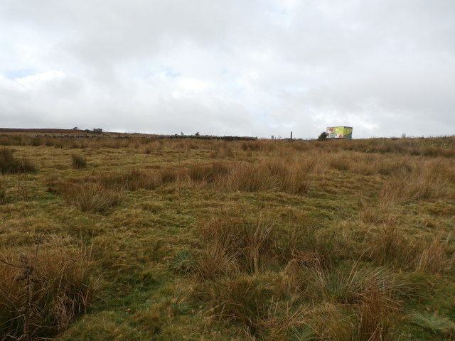
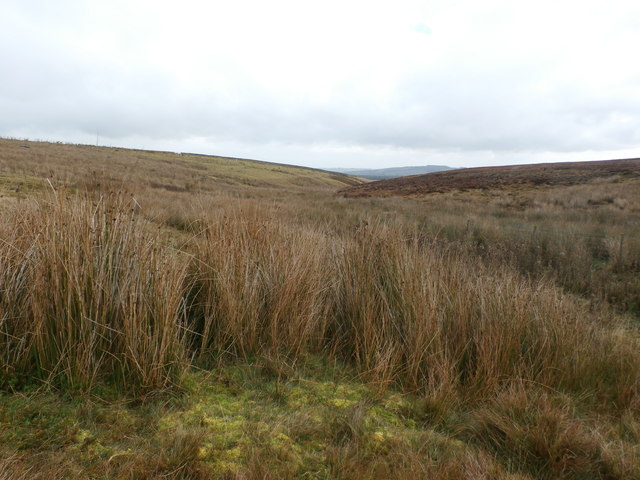
Heald Common Images

Images are sourced within 2km of 53.517318/-1.7401262 or Grid Reference SE1702. Thanks to Geograph Open Source API. All images are credited.

Temporary bridge on the TPT diversion at Dunford Bridge This is a temporary bridge on the Trans Pennine Trail diversion at Dunford Bridge. It came into use in late 2021 and will remain until seven electricity pylons have been removed. The cable will be buried under the TPT.
Temporary bridge on the TPT diversion at Dunford Bridge
This is a temporary bridge on the Trans Pennine Trail diversion at Dunford Bridge. It came into use in late 2021 and will remain until seven electricity pylons have been removed. The cable will be buried under the TPT.
Bridge on the Trans Pennine Trail diversion This is a new (permanent) bridge on the Trans Pennine Trail diversion at Dunford Bridge. It came into use in late 2021. The diversion will remain until seven electricity pylons have been removed. The cable will be buried under the TPT.
Bridge on the Trans Pennine Trail diversion
This is a new (permanent) bridge on the Trans Pennine Trail diversion at Dunford Bridge. It came into use in late 2021. The diversion will remain until seven electricity pylons have been removed. The cable will be buried under the TPT.
Dunford Bridge View from the dam walkway of Winscar Reservoir
Dunford Bridge
View from the dam walkway of Winscar Reservoir
Post Box at Townhead S36 698. Royal Mail list this box as 'Townhead'.
Post Box at Townhead
S36 698. Royal Mail list this box as 'Townhead'.
A628 at the winter closure gates on the Woodhead Road
Church of St Ann At Carlecotes Hall
Church of St Ann
At Carlecotes Hall
St Ann's Church, Carlecotes
Winscar Reservoir Dam, Dunford Bridge
St Ann's Church, Carlecotes
On the moors above Langsett
The  Dog  and  Partridge  from  the  car  park
The Dog and Partridge from the car park
Over  fields  from  the  Dog  and  Partridge  car  park Left of centre can be seen traffic on the A628 toward Flouch roundabout, the low cloud made for a misty day
Over fields from the Dog and Partridge car park
Left of centre can be seen traffic on the A628 toward Flouch roundabout, the low cloud made for a misty day
A  misty  moorland  scene From the rear of the Dog and Partridge a few rough fields before Harden Moor
A misty moorland scene
From the rear of the Dog and Partridge a few rough fields before Harden Moor
Lorry on the Woodhead Road The wall on the left of picture marks the last field boundary before the expanse of Dark Peak moorland takes over.
Lorry on the Woodhead Road
The wall on the left of picture marks the last field boundary before the expanse of Dark Peak moorland takes over.
Fox Clough Pictured from a moorland / field boundary just to the south of the Woodhead Road.
Fox Clough
Pictured from a moorland / field boundary just to the south of the Woodhead Road.
Ordnance Survey Cut Mark This can be found on the wall of the parapet of the bridge over the River Don.
For more detail see : <span class="nowrap"><a title="http://www.bench-marks.org.uk/bm41412" rel="nofollow ugc noopener" href="http://www.bench-marks.org.uk/bm41412">Link</a><img style="margin-left:2px;" alt="External link" title="External link - shift click to open in new window" src="https://s1.geograph.org.uk/img/external.png" width="10" height="10"/></span>
Ordnance Survey Cut Mark
This can be found on the wall of the parapet of the bridge over the River Don. For more detail see : LinkExternal link
The Newly Surfaced Path across Reddishaw Knoll Looking northward.
The Newly Surfaced Path across Reddishaw Knoll
Looking northward.
Show me another place!

Heald Common is located at Grid Ref: SE1702 (Lat: 53.517318, Lng: -1.7401262)

Division: West Riding

Unitary Authority: Barnsley

Police Authority: South Yorkshire

What 3 Words

///vanish.culminate.token. Near Holmfirth, West Yorkshire

Related Wikis

Dunford Bridge

Dunford Bridge is a remote hamlet in the civil parish of Dunford, lying northwest of Sheffield in South Yorkshire, England, 1.3 miles (2 km) from the...

Dunford

Dunford is a civil parish in the Metropolitan Borough of Barnsley, 14.5 miles (23.3 km) northwest of Sheffield in South Yorkshire, England. It lies in...

Carlecotes

Carlecotes is a village in the metropolitan borough of Barnsley in South Yorkshire, England. Carlecotes is within Dunford civil parish. The village is...

Dunford Bridge railway station

Dunford Bridge railway station was a railway station that served the village of Dunford Bridge on the Sheffield, Ashton-under-Lyne and Manchester Railway...

Nearby Amenities

Located within 500m of 53.517318,-1.7401262
Design: barrel
Power: tower
Lat/Long: 53.5207276/-1.737982
Location Transition: yes
Power: tower
Lat/Long: 53.5203186/-1.7397982
Location Transition: yes
Power: tower
Lat/Long: 53.5200971/-1.7395133
Bench
Backrest: no
Lat/Long: 53.5196387/-1.7340734
Bench
Backrest: no
Lat/Long: 53.519467/-1.7372947
The data included in this document is from www.openstreetmap.org. The data is made available under ODbL.

Have you been to Heald Common?

Leave your review of Heald Common below (or comments, questions and feedback).